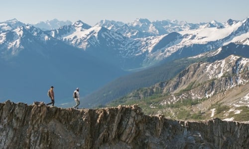

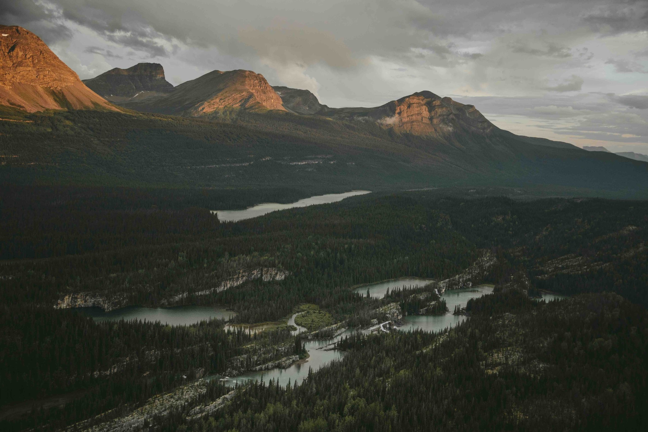

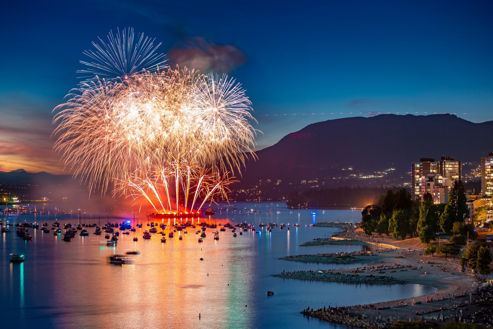
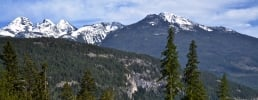
 Credit: Destination BC | Hubert Kang
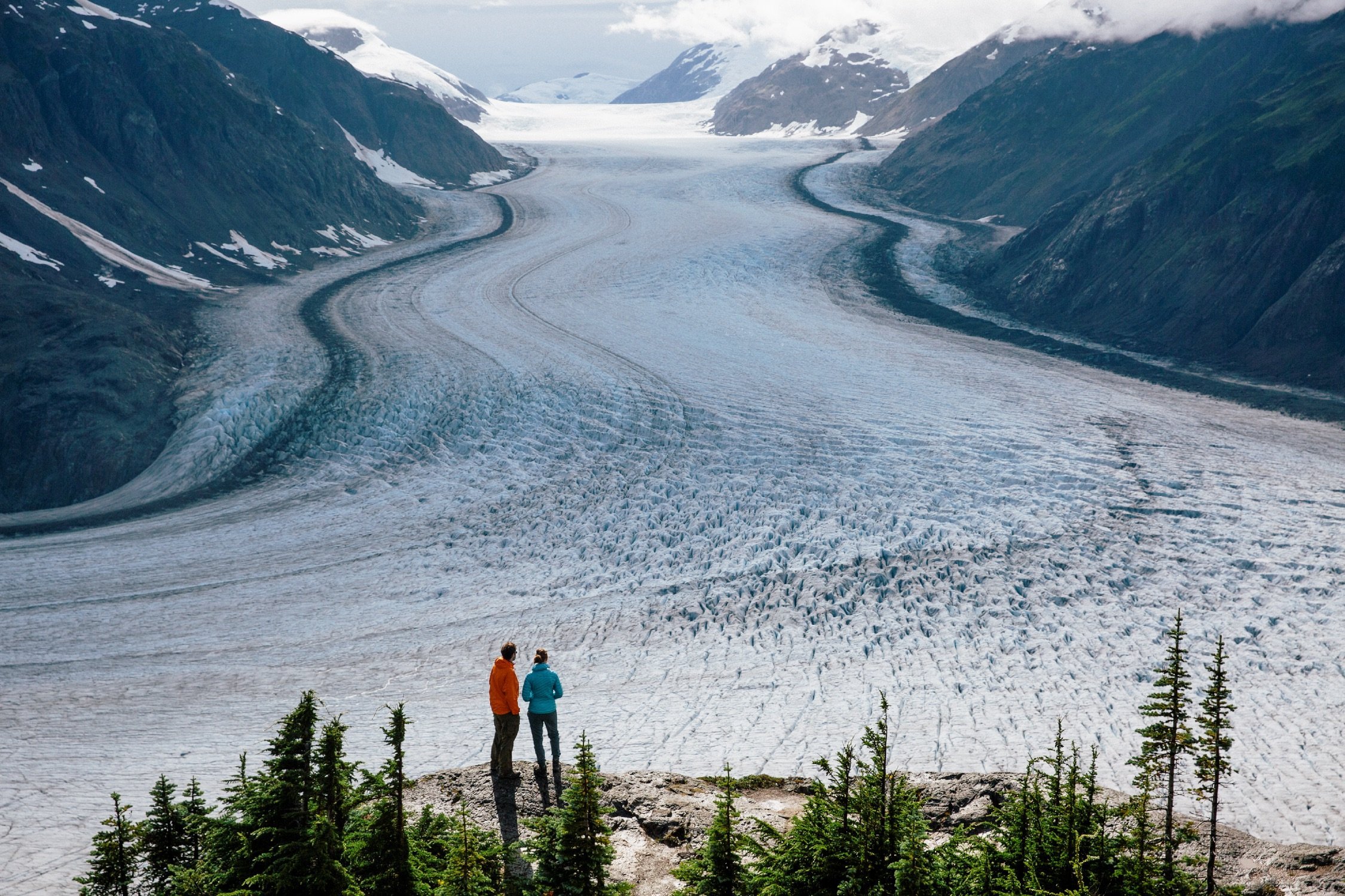
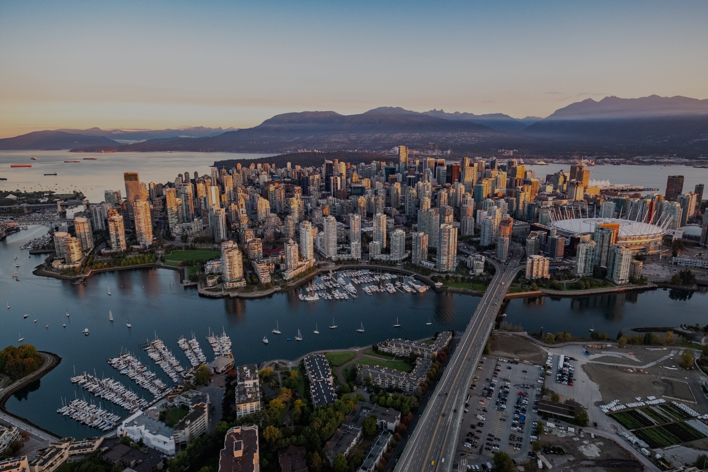
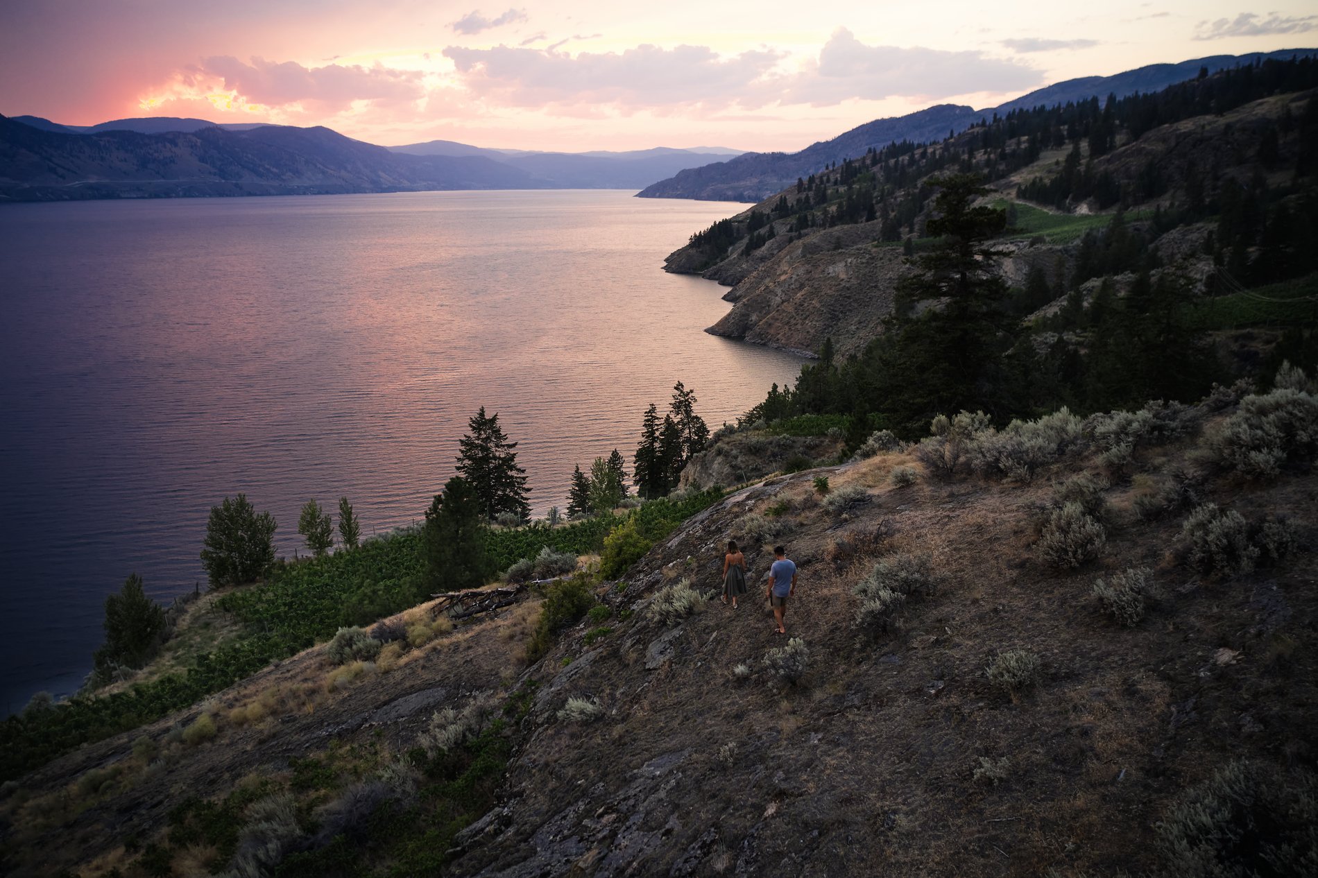
Credit: Destination BC | Hubert Kang
Credit: Destination BC | Hubert Kang
Practical Tips
Maps
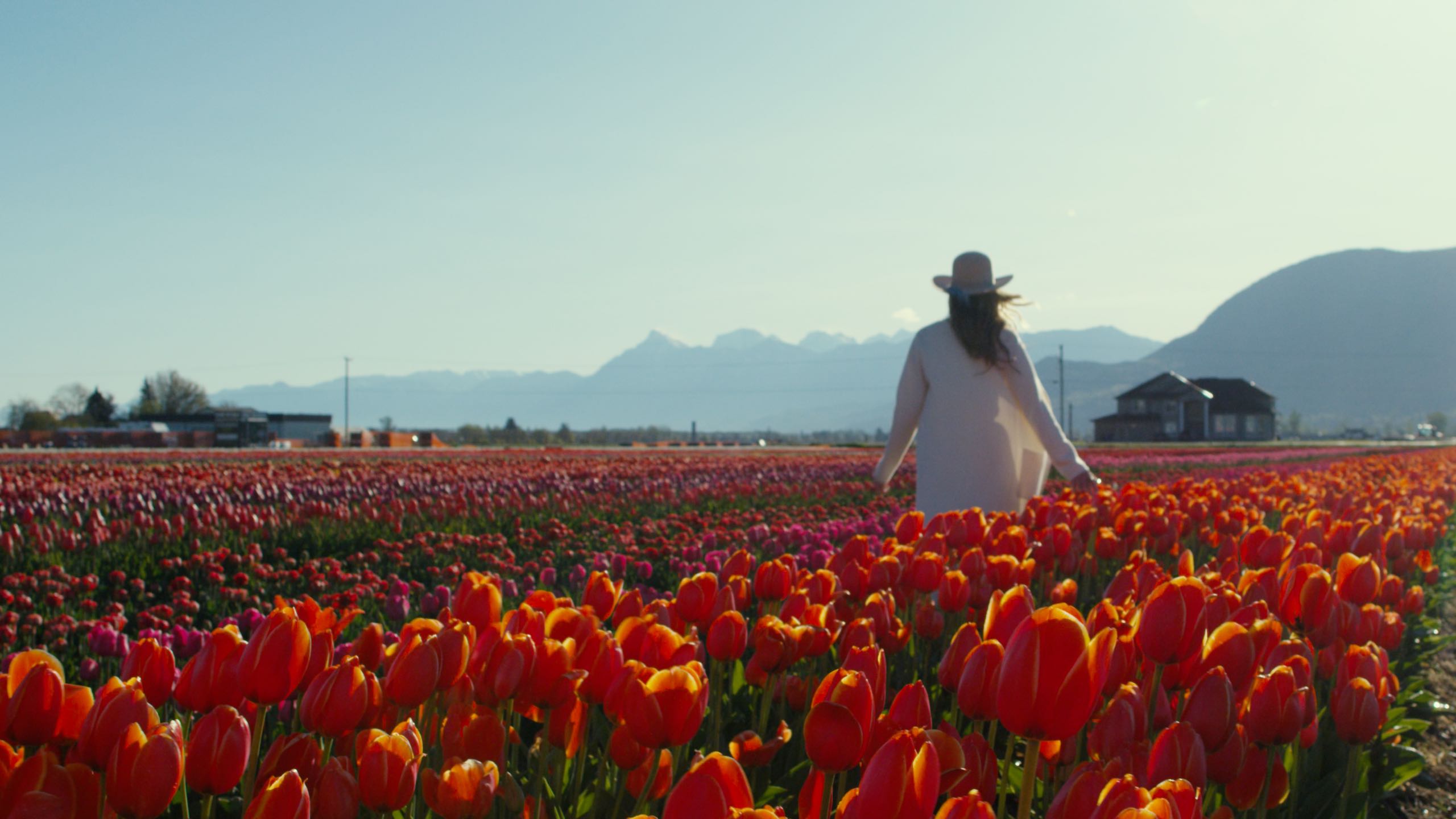
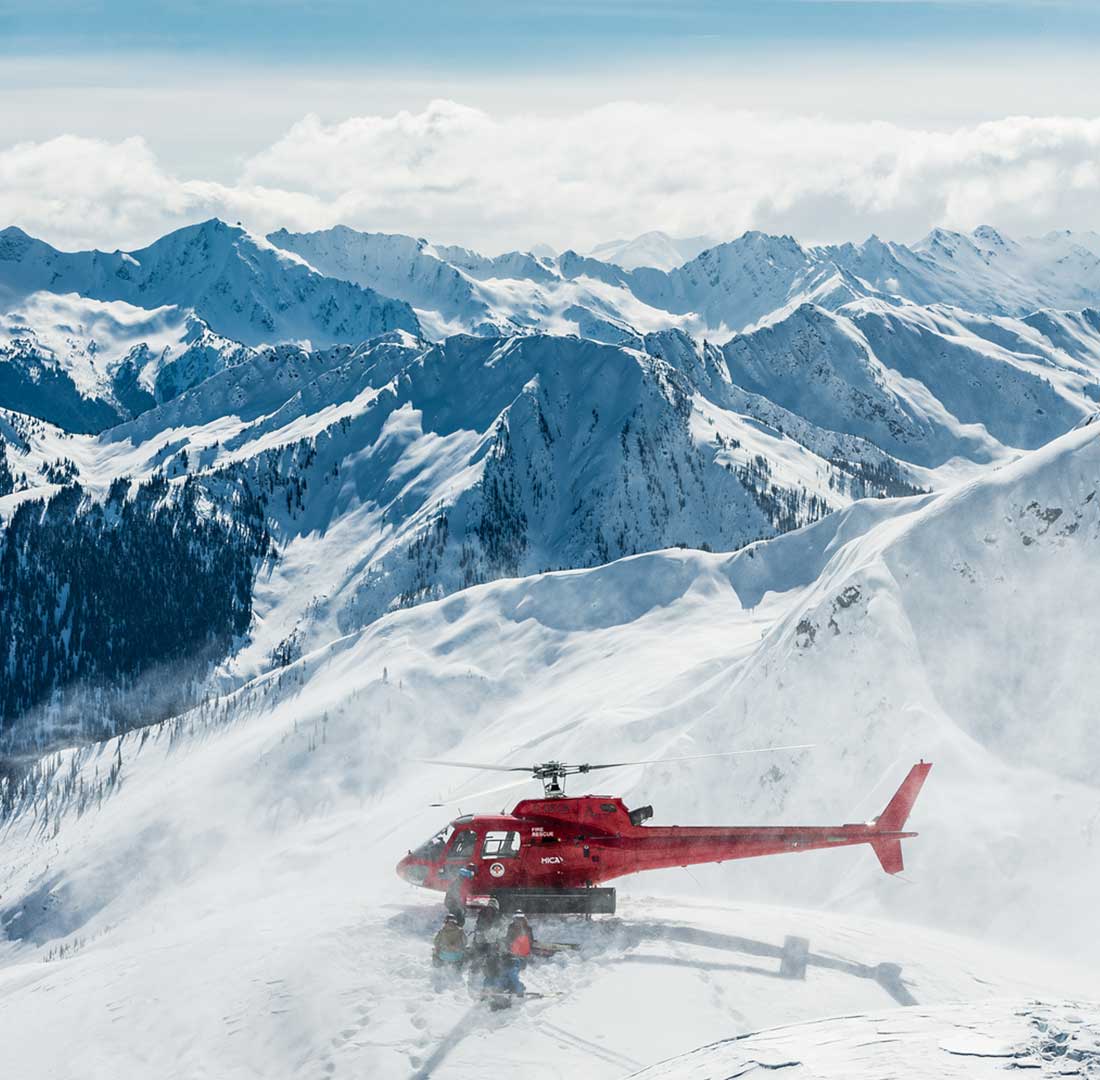
Explore experiences across BC—including ski, parks, attractions, and more—and places to stay along the way.
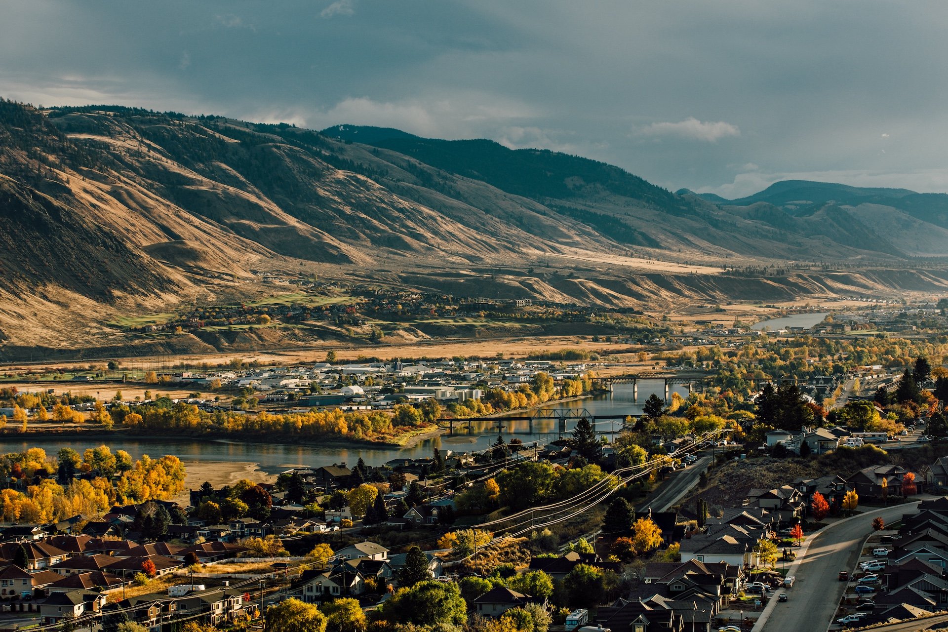
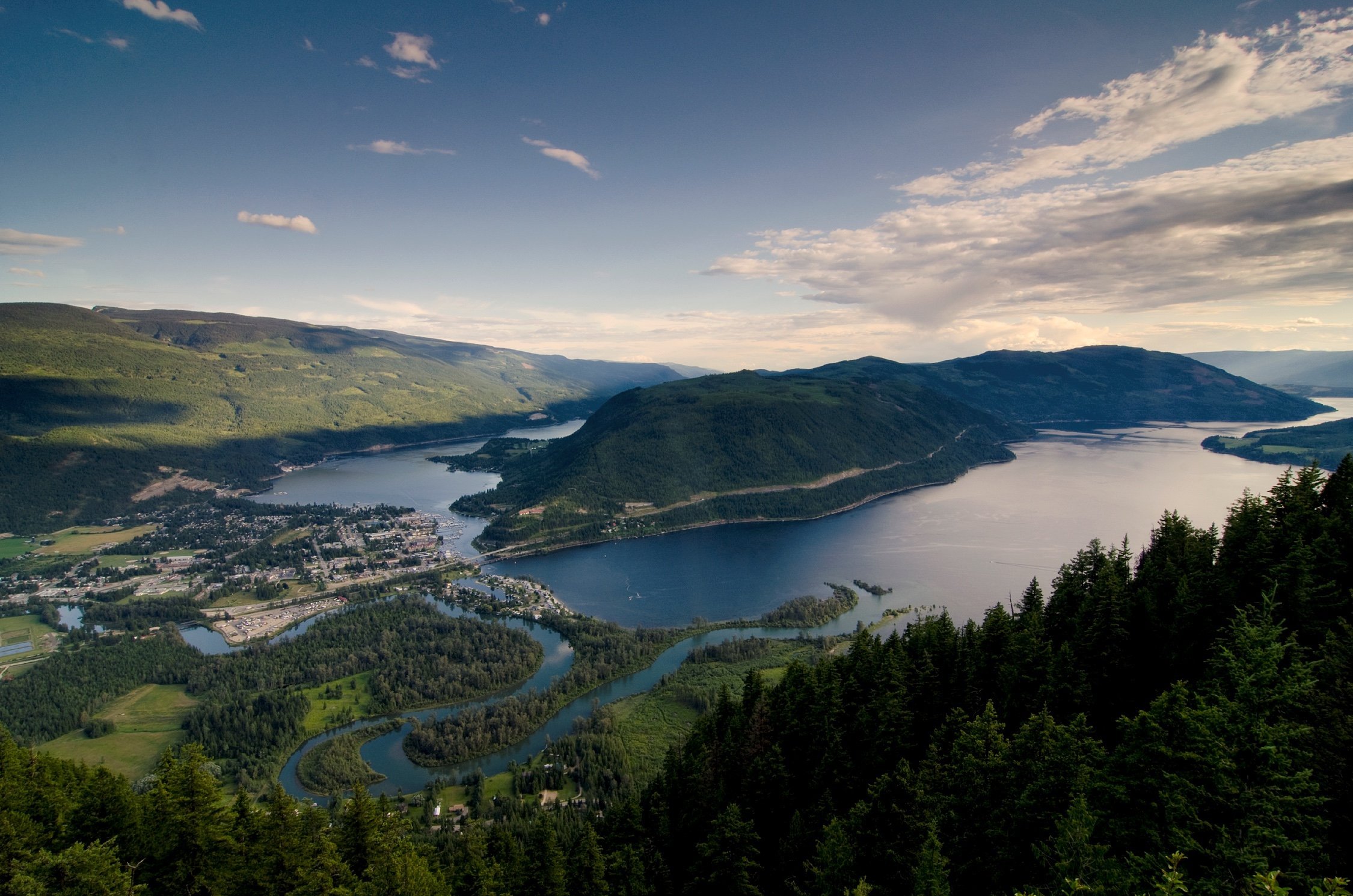
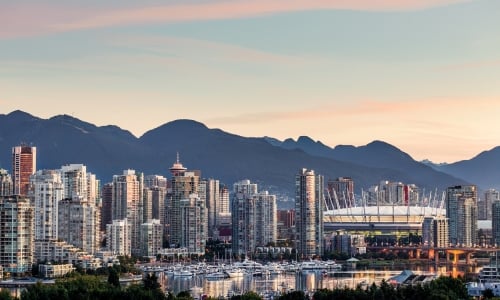
From Mile Zero of the Trans Canada Highway on southern Vancouver Island to Mile Zero of the Alaska Highway in BC’s northeast—and everywhere in between—the maps below will help you chart a course for your western Canada road trip.
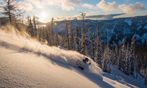
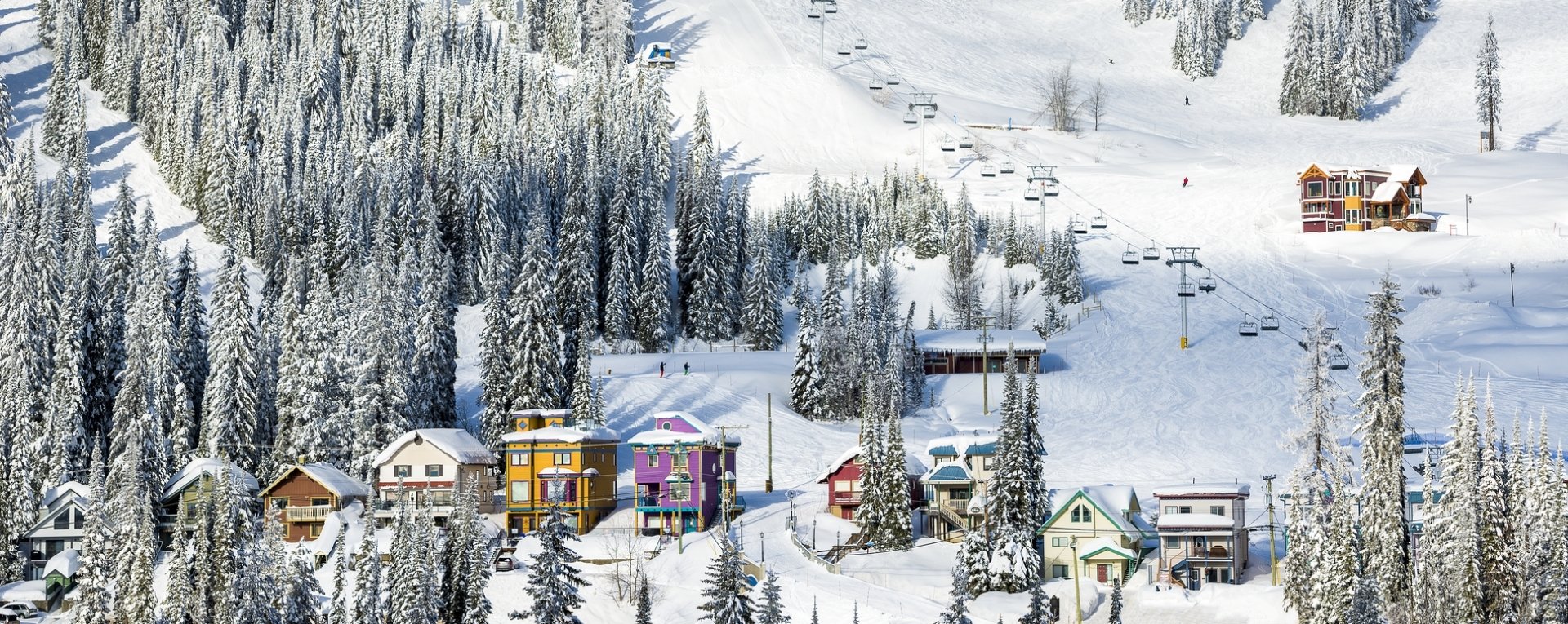
Skiers and snowboarders can check out the BC Ski Map to access perfect powder at a resort or community ski hill. And for those who prefer to sleep under the stars, the BC Campsites Map will show you where to pitch your tent.
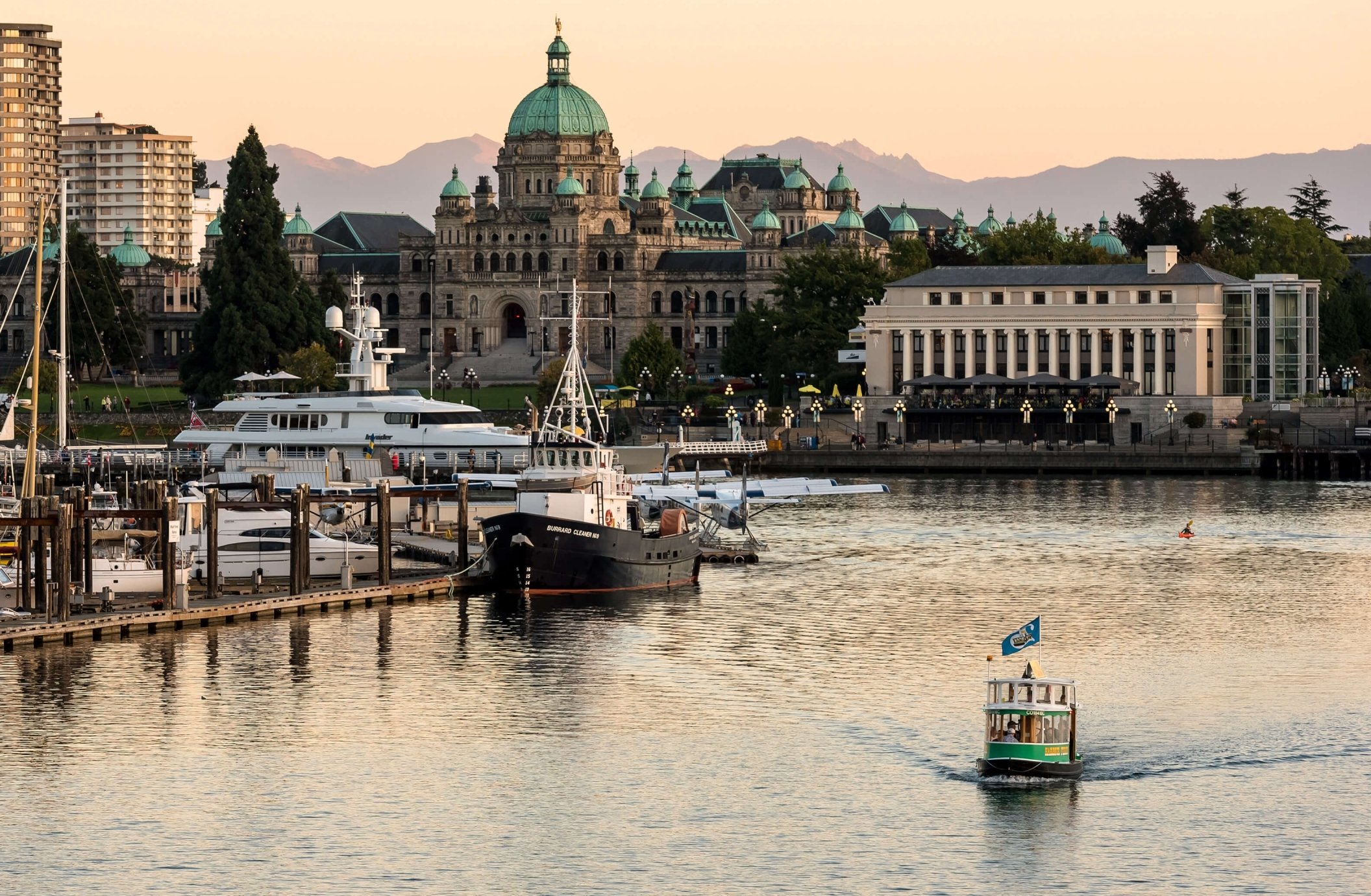
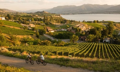
 Penticton Lakeside Resort | @vancouverfoodie
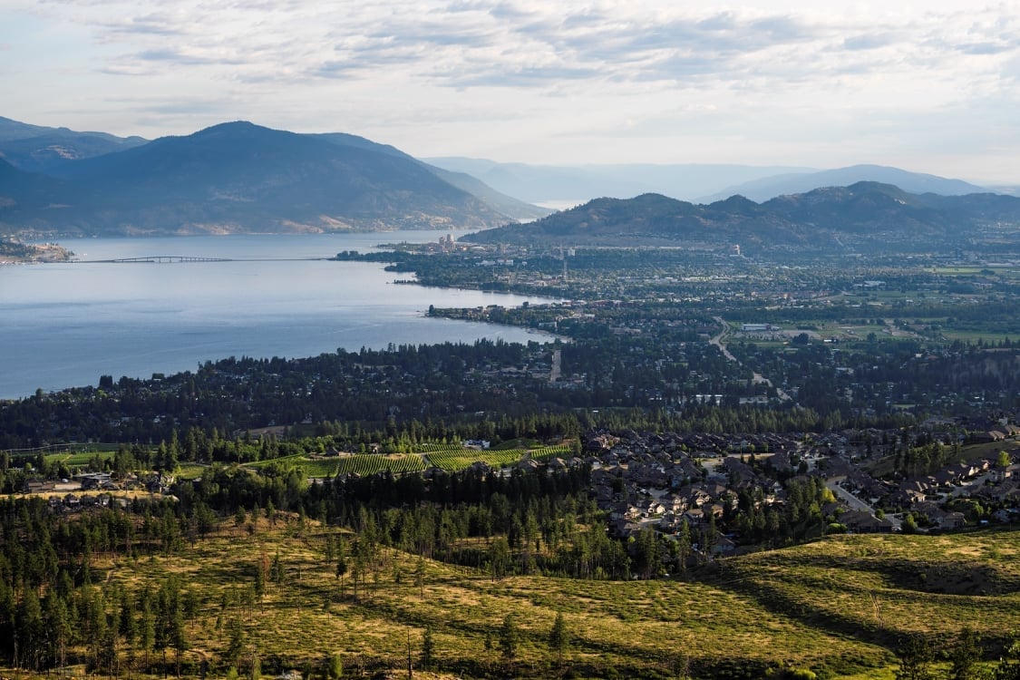
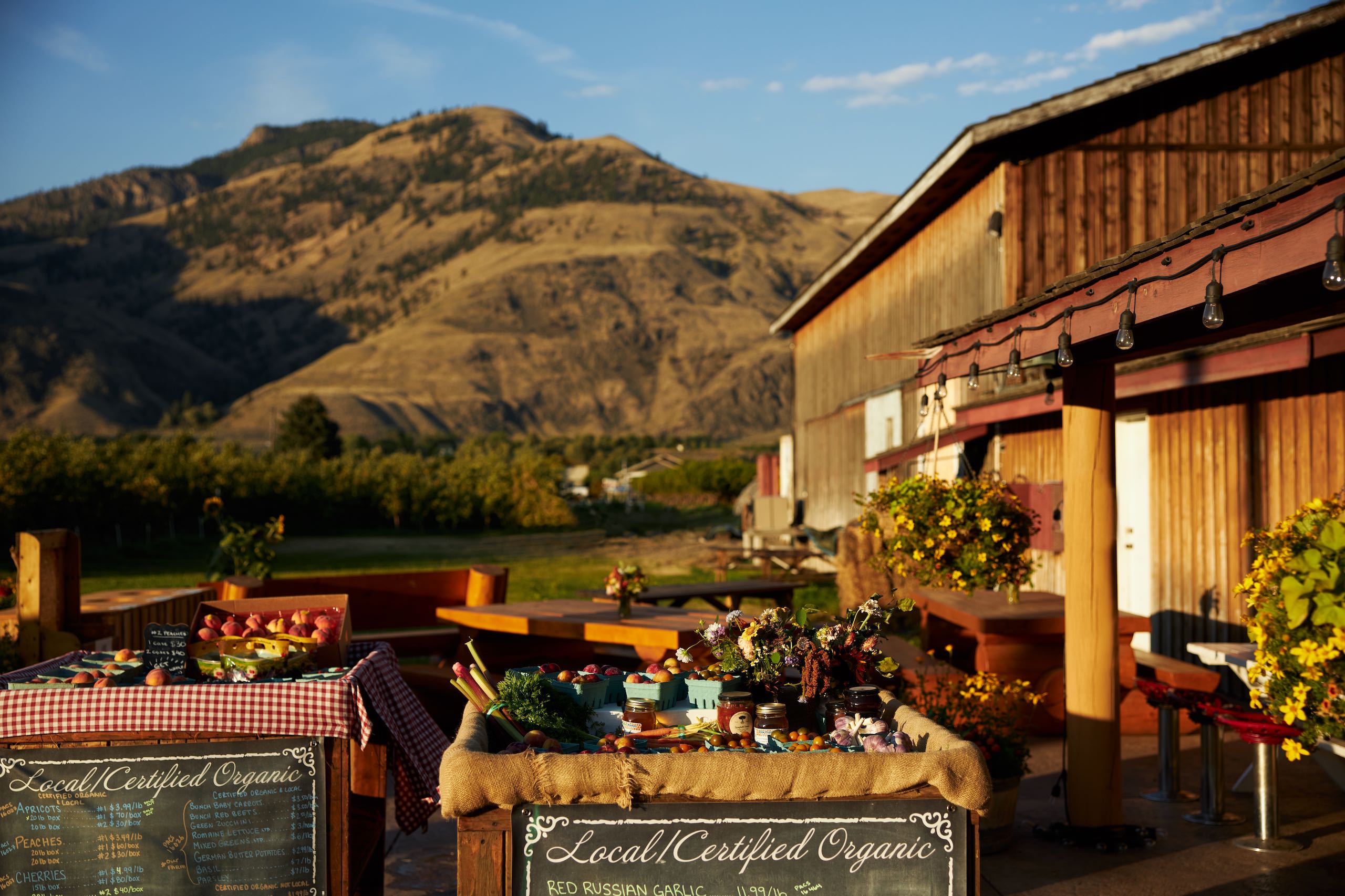
Accommodation and Experience Providers Map
Find places to stay and things to do across the province.
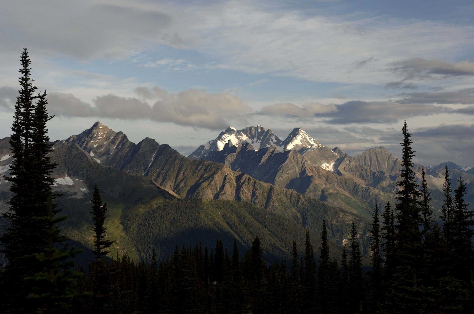
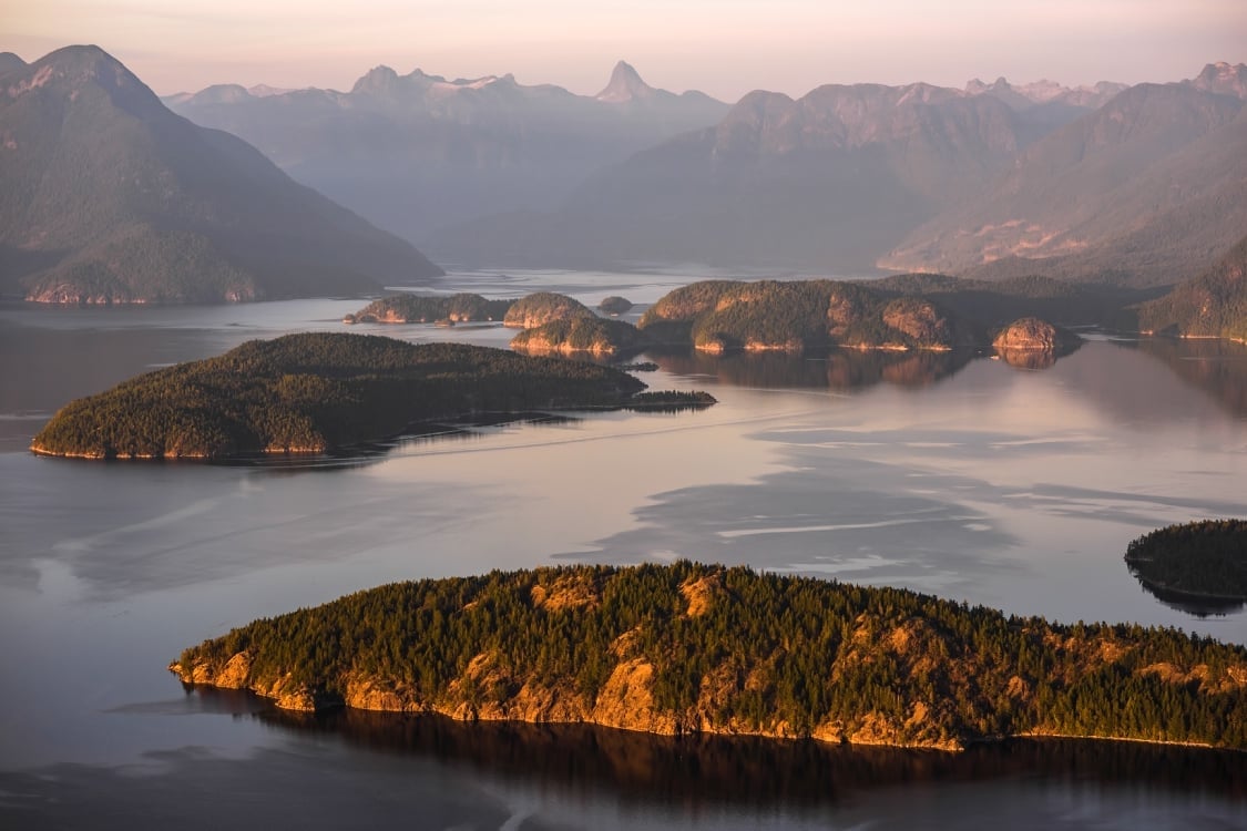
 Sea to Sky | Reuben Krabbe
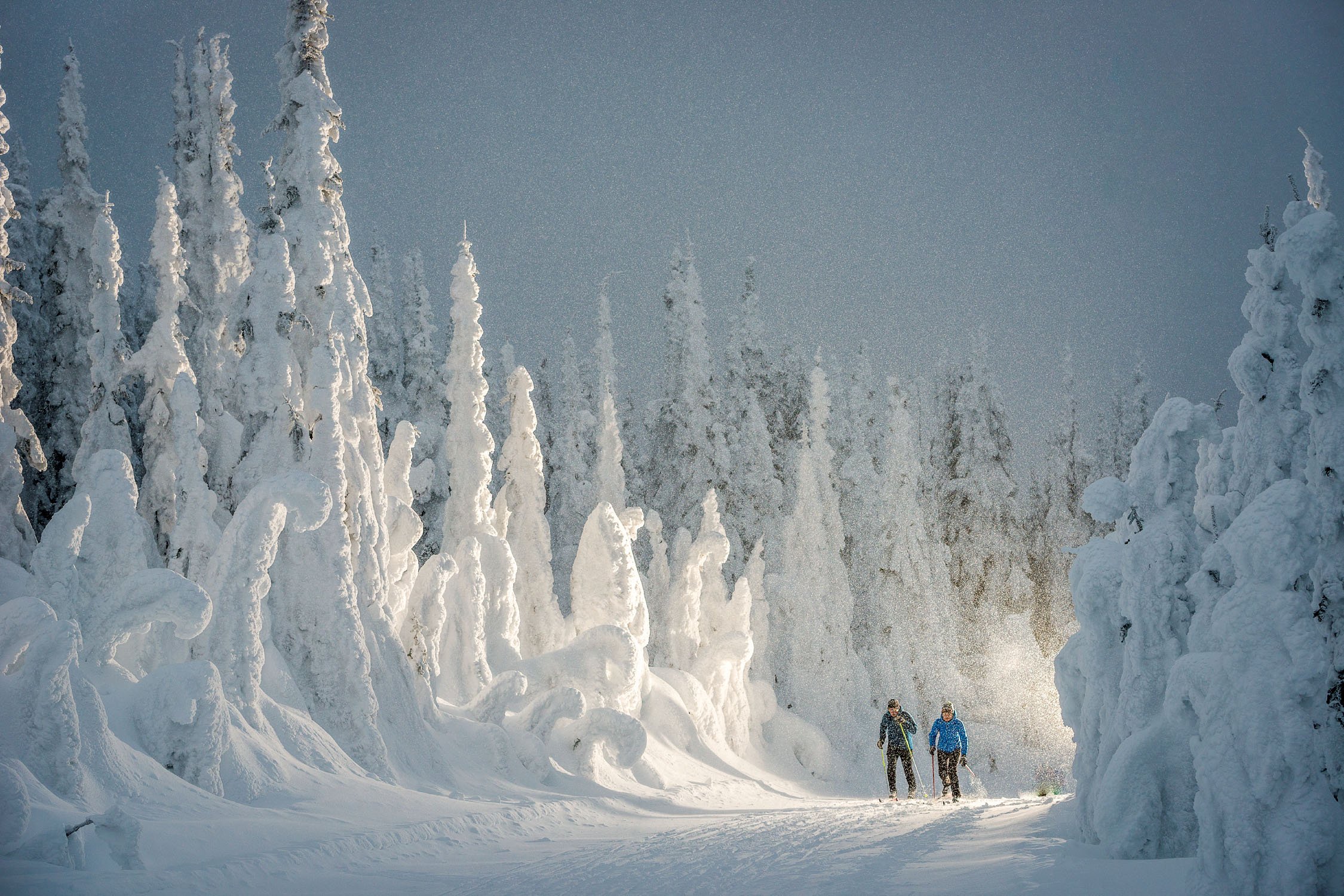
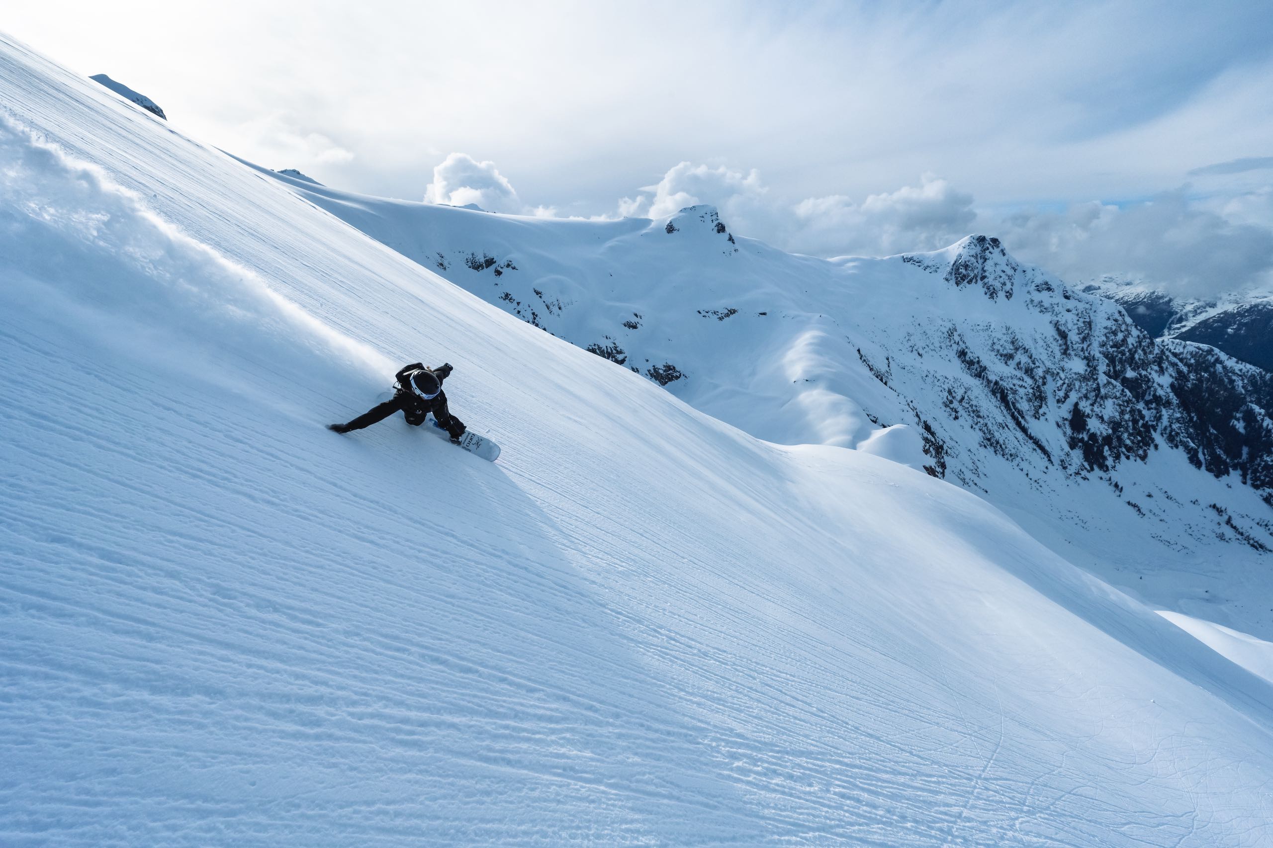
BC Ski Map
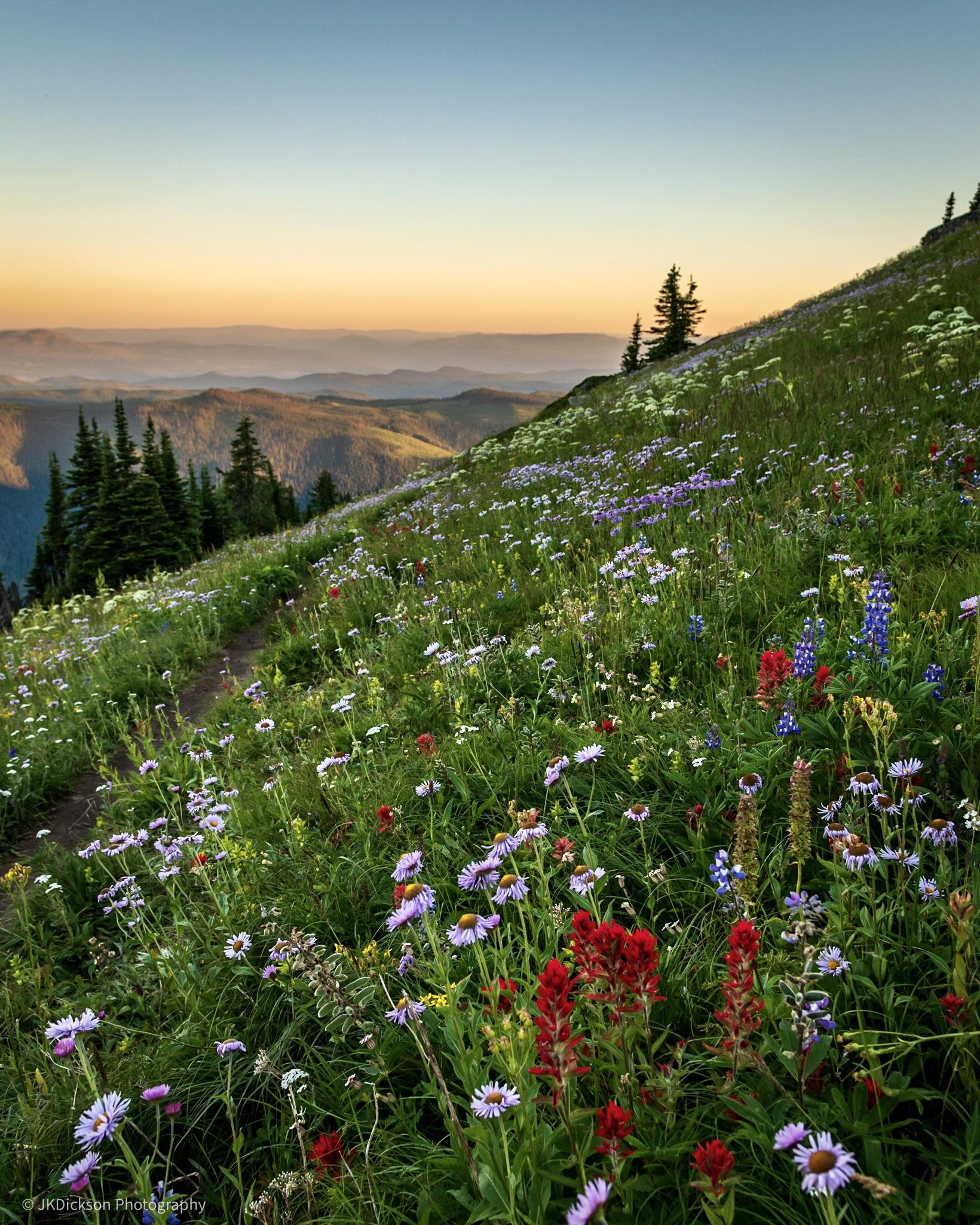
With 13 resorts and 21 community hills to choose from, the biggest question is how to plan your journey for maximum pow.
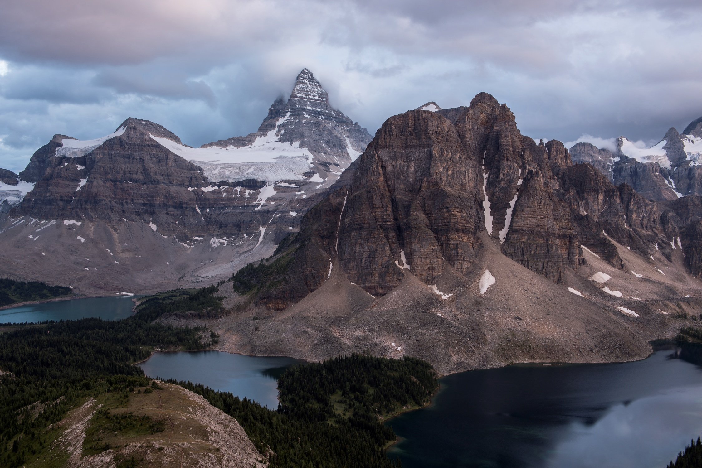
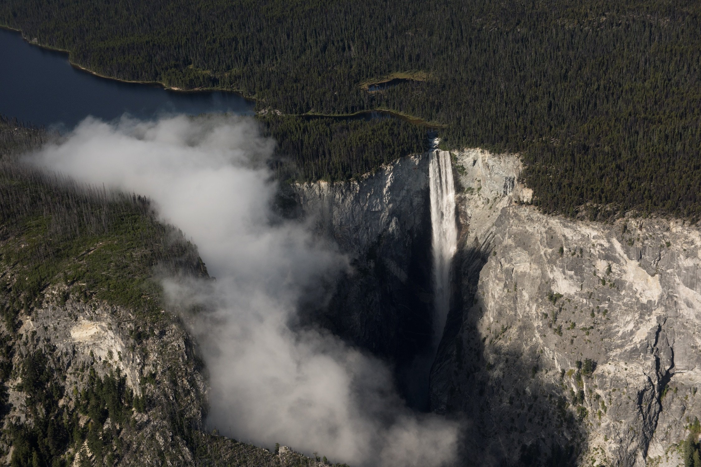
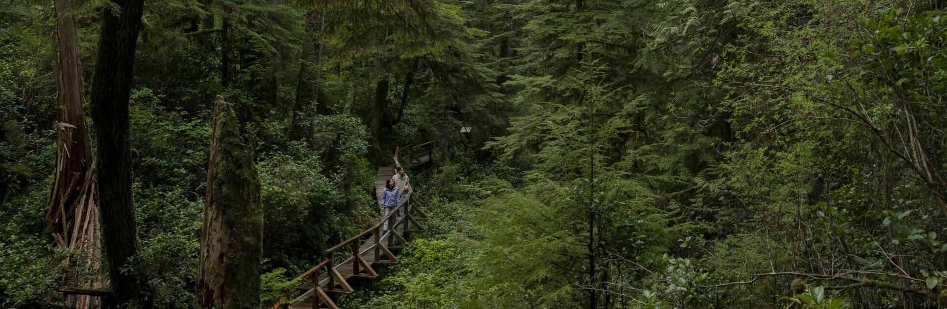
 Nairn Falls Provincial Park | Julian Apse
If you prefer a printed map, find them at visitor centres across the province. You can also order printed maps from Davenport Maps, International Travel Maps and Books, and Backroad Mapbooks.
Travel Advisories
Find current information on alerts and/or evacuation orders, during emergencies in BC.
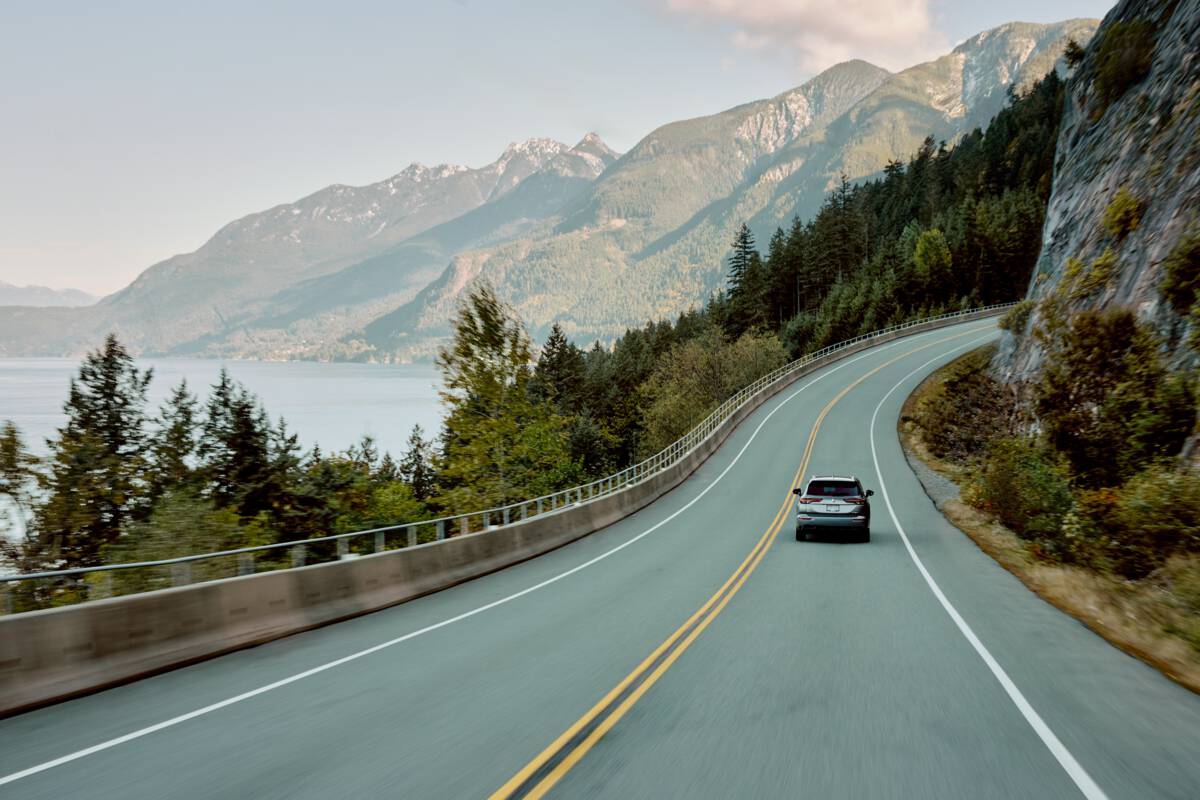
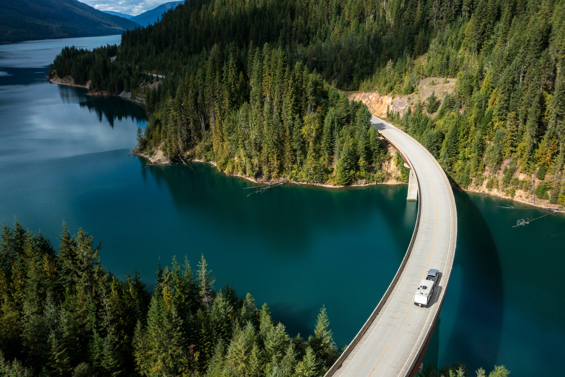
Plan Your Route
Check Drive BC for the latest information on road closures around the province.
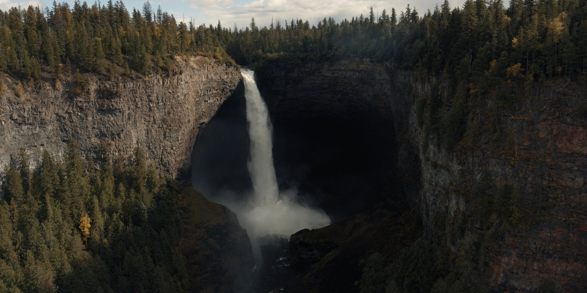
BC Parks
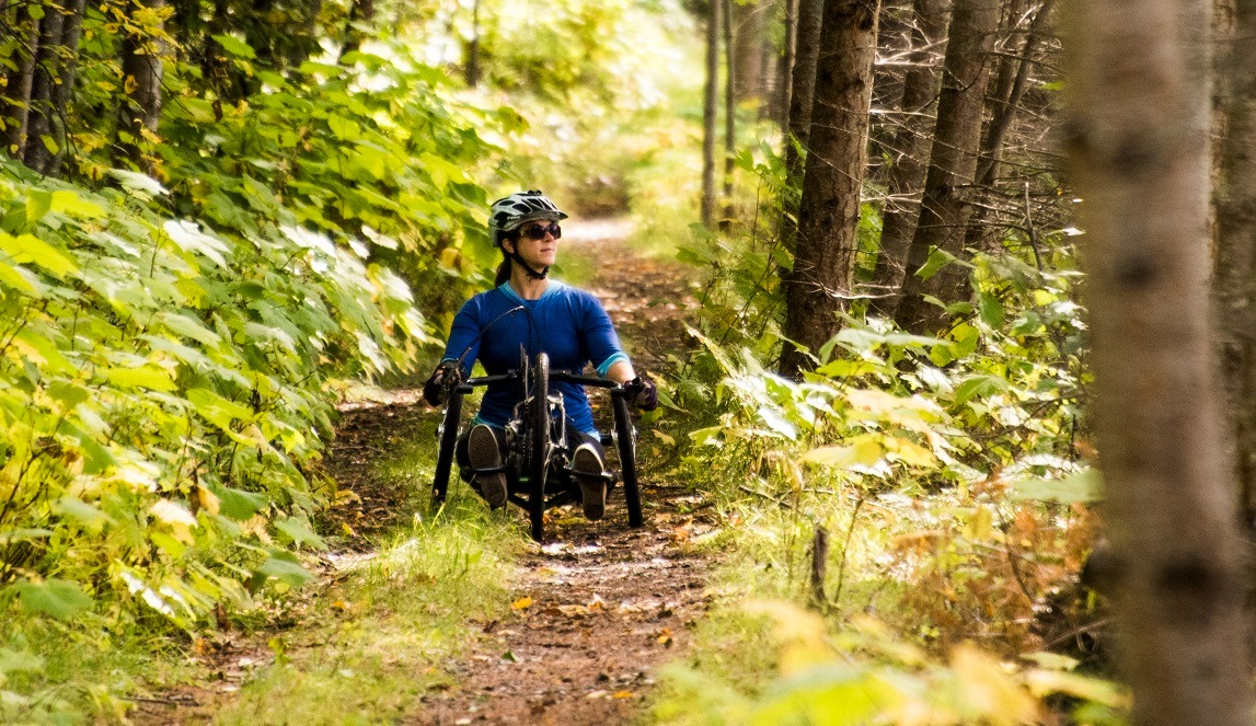
Learn about hiking and biking trails, provincial campgrounds, park closures, and more.
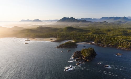
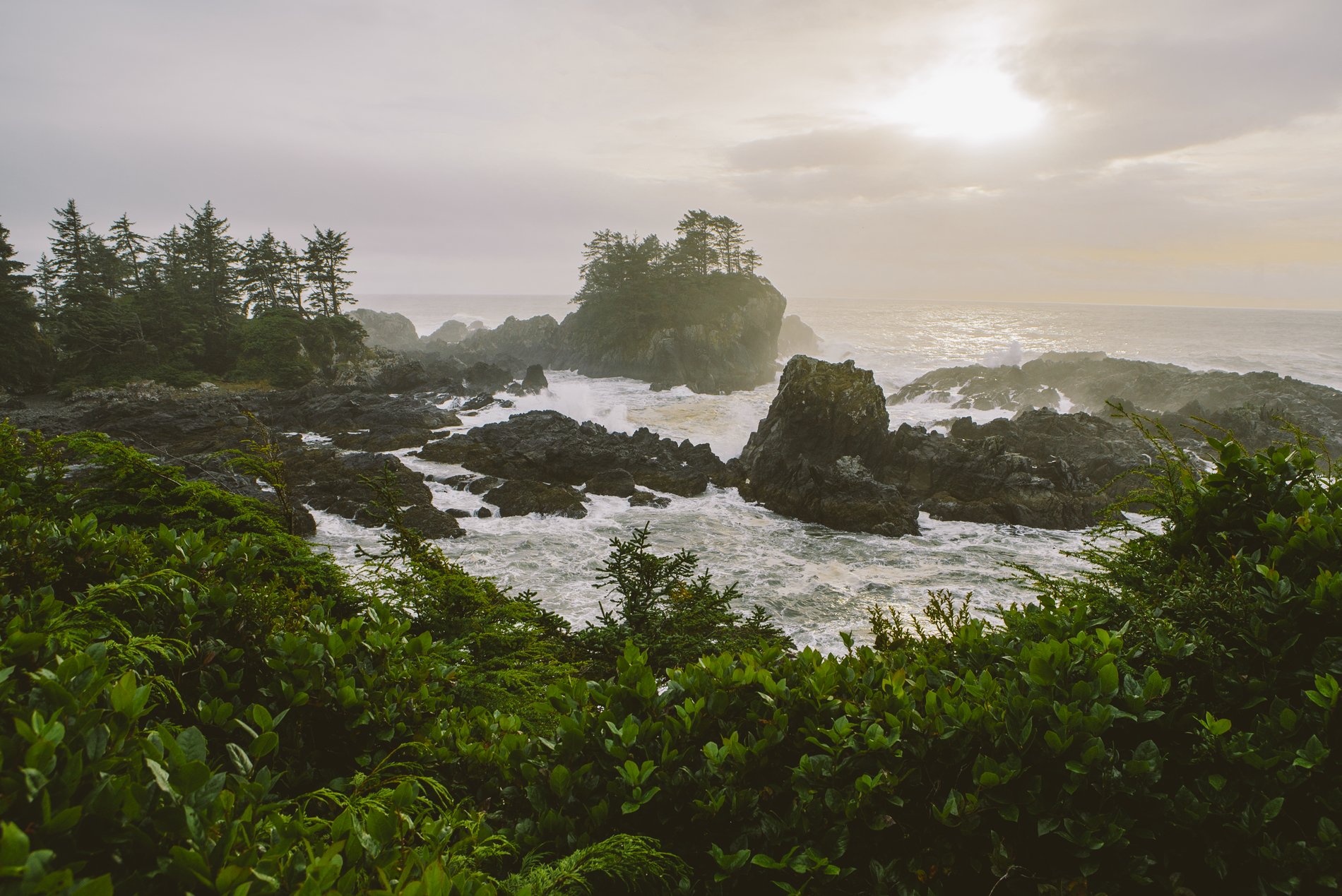
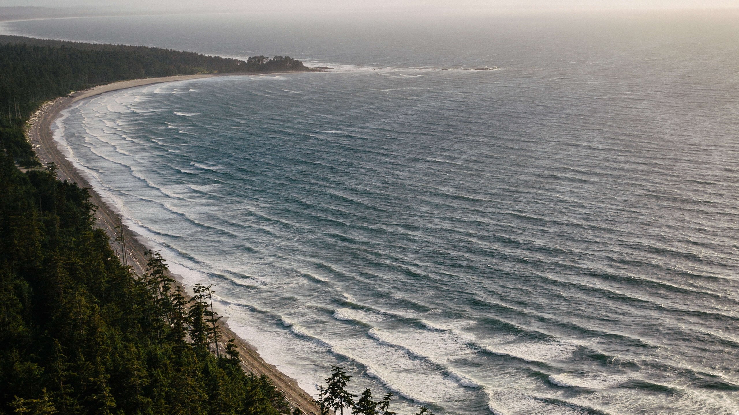
 Pacific Rim National Park | Abby Cooper