
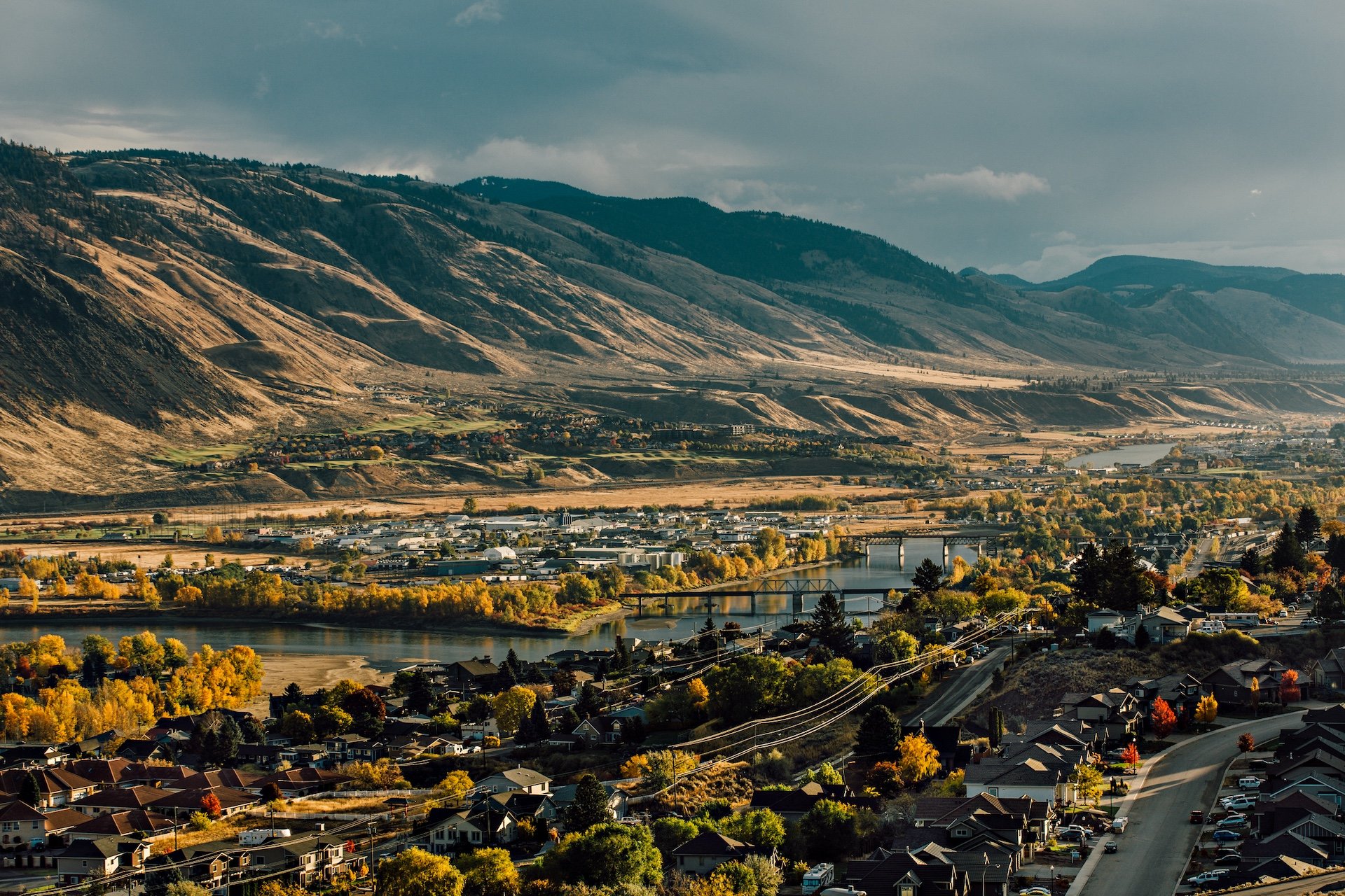
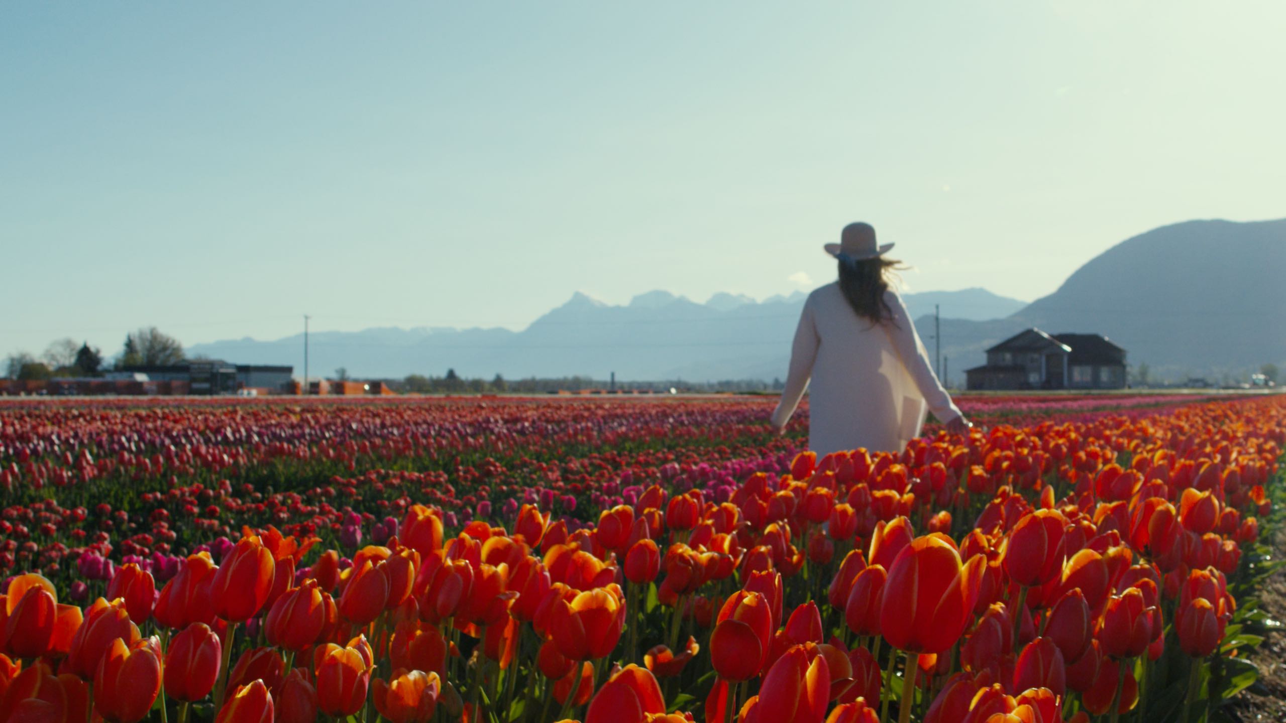
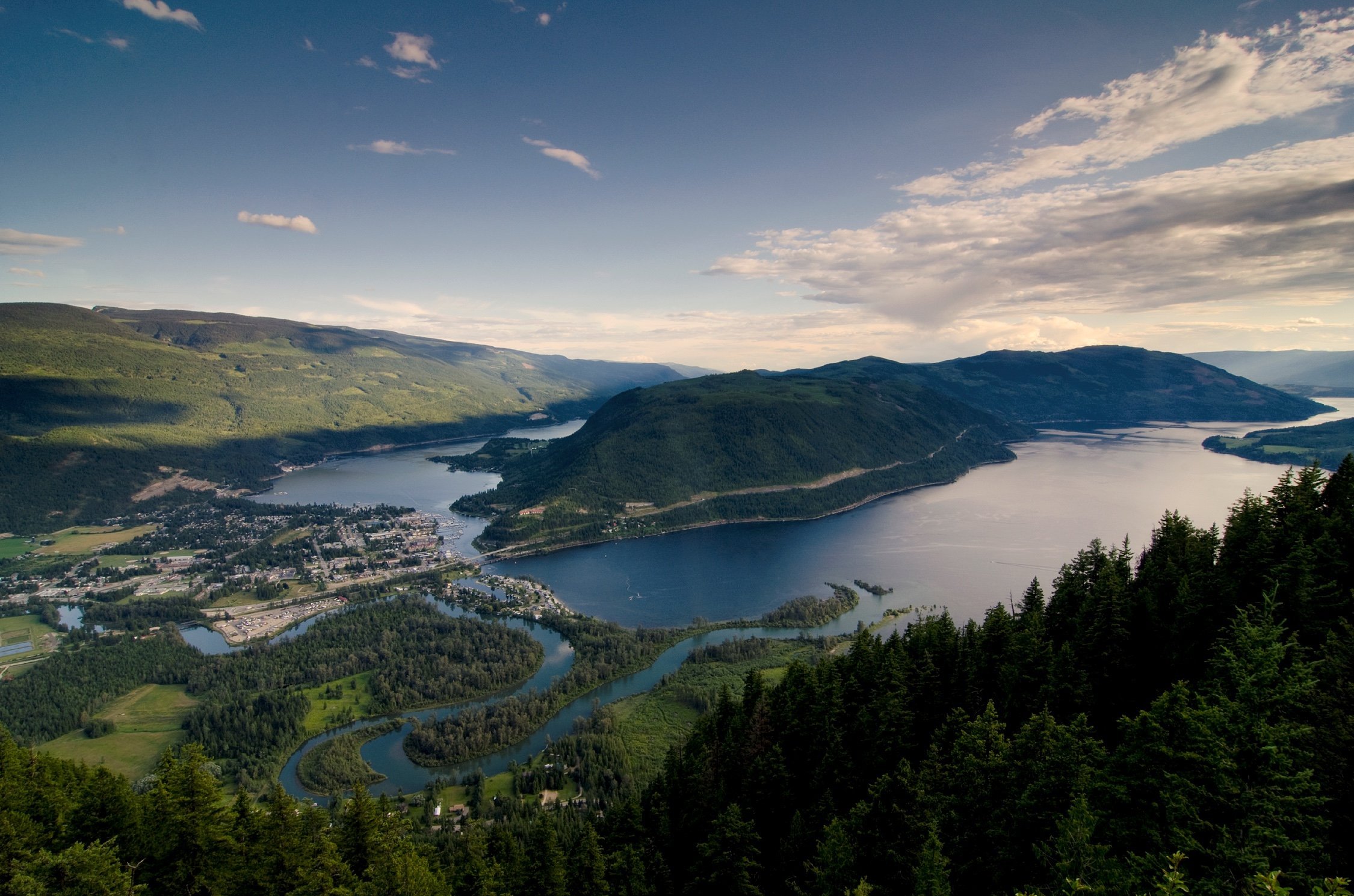
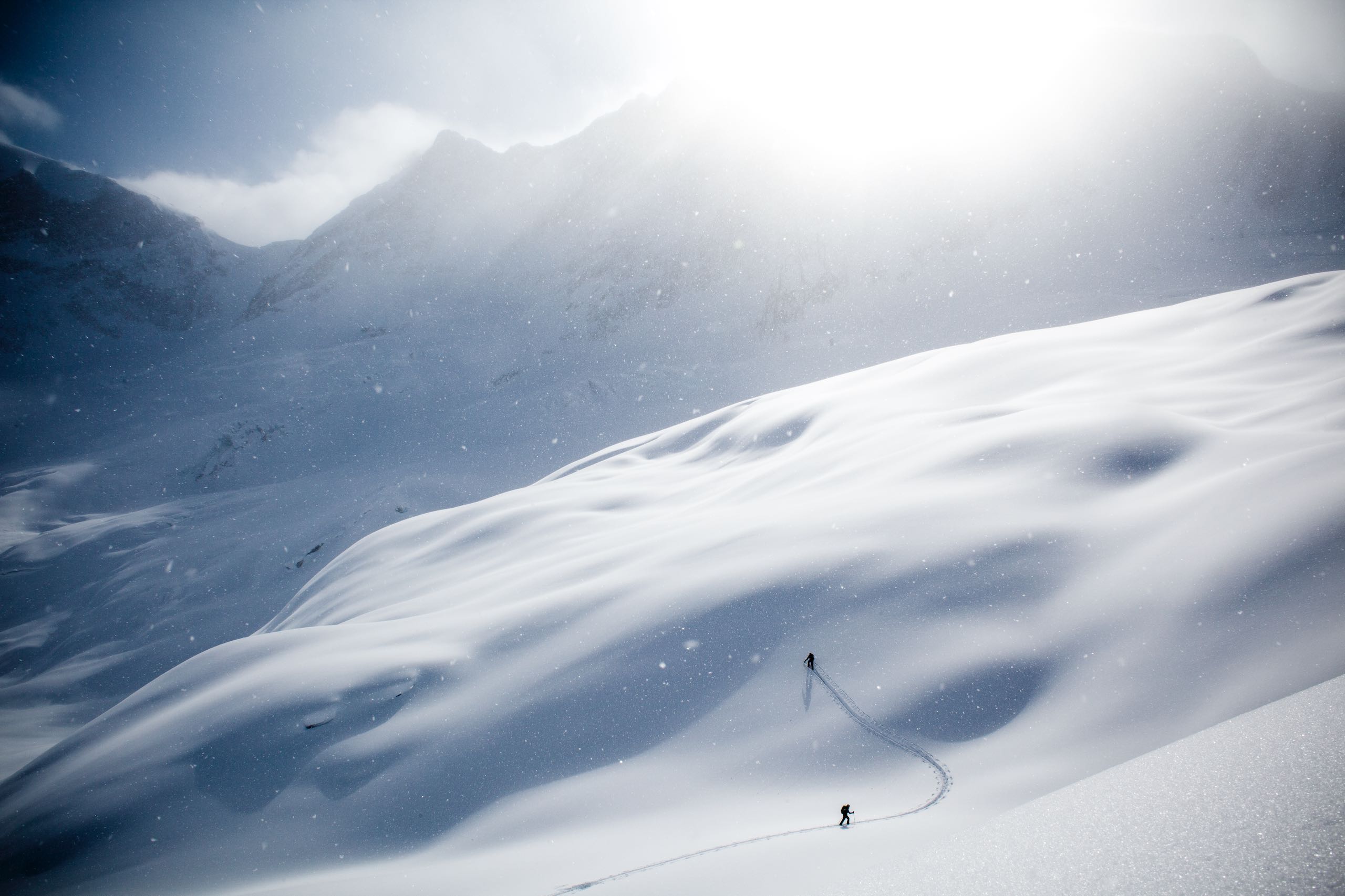
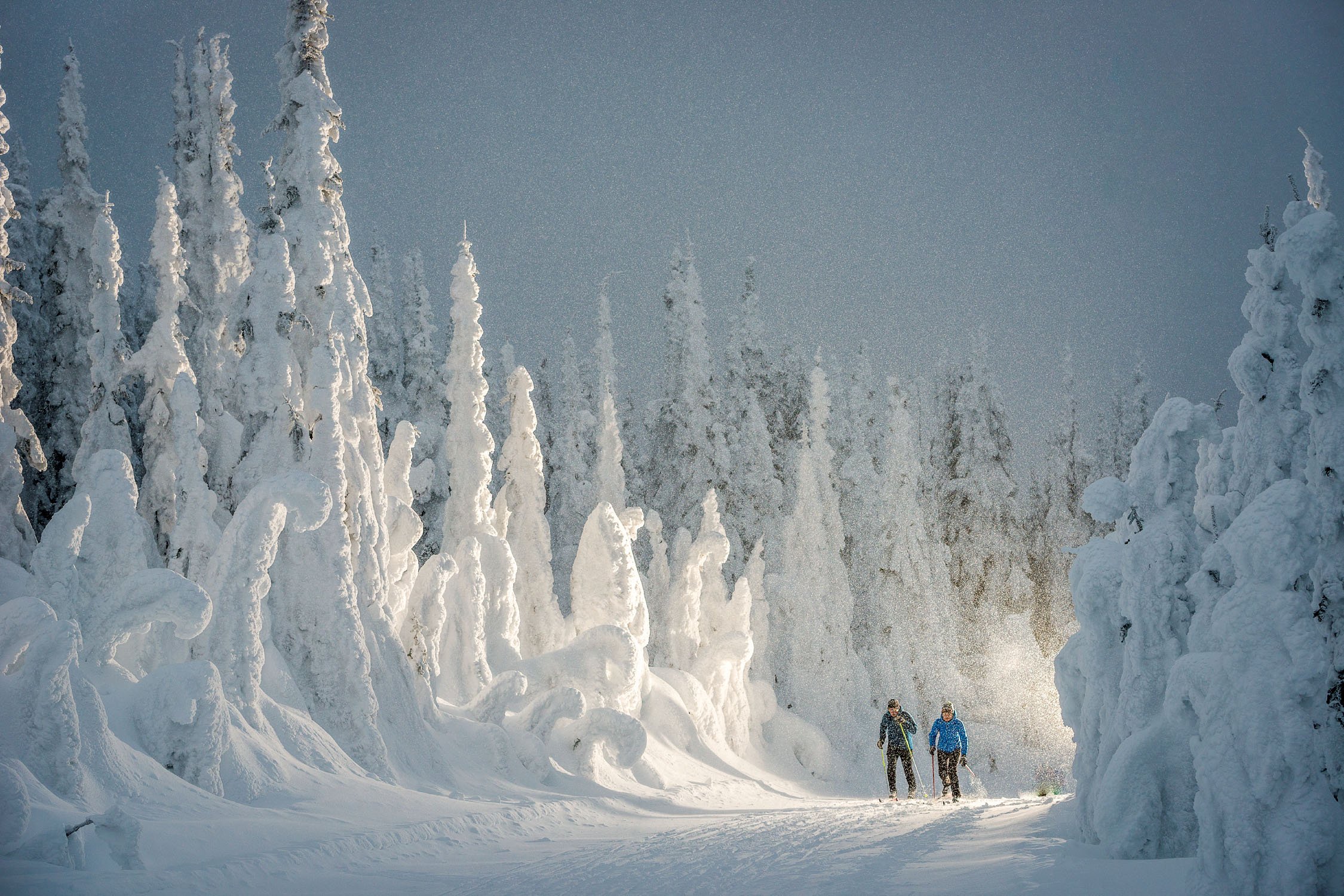
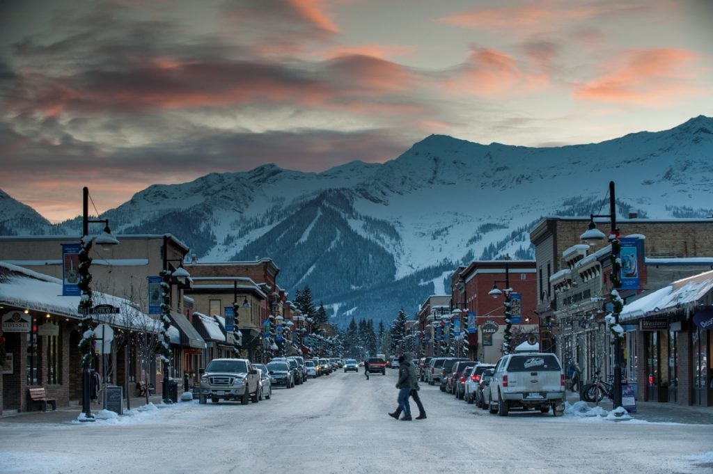
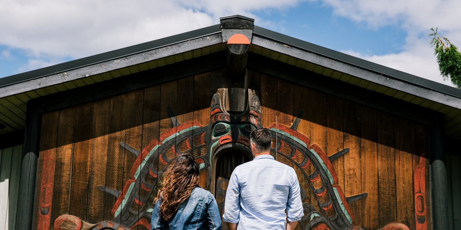
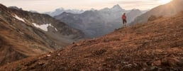
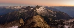
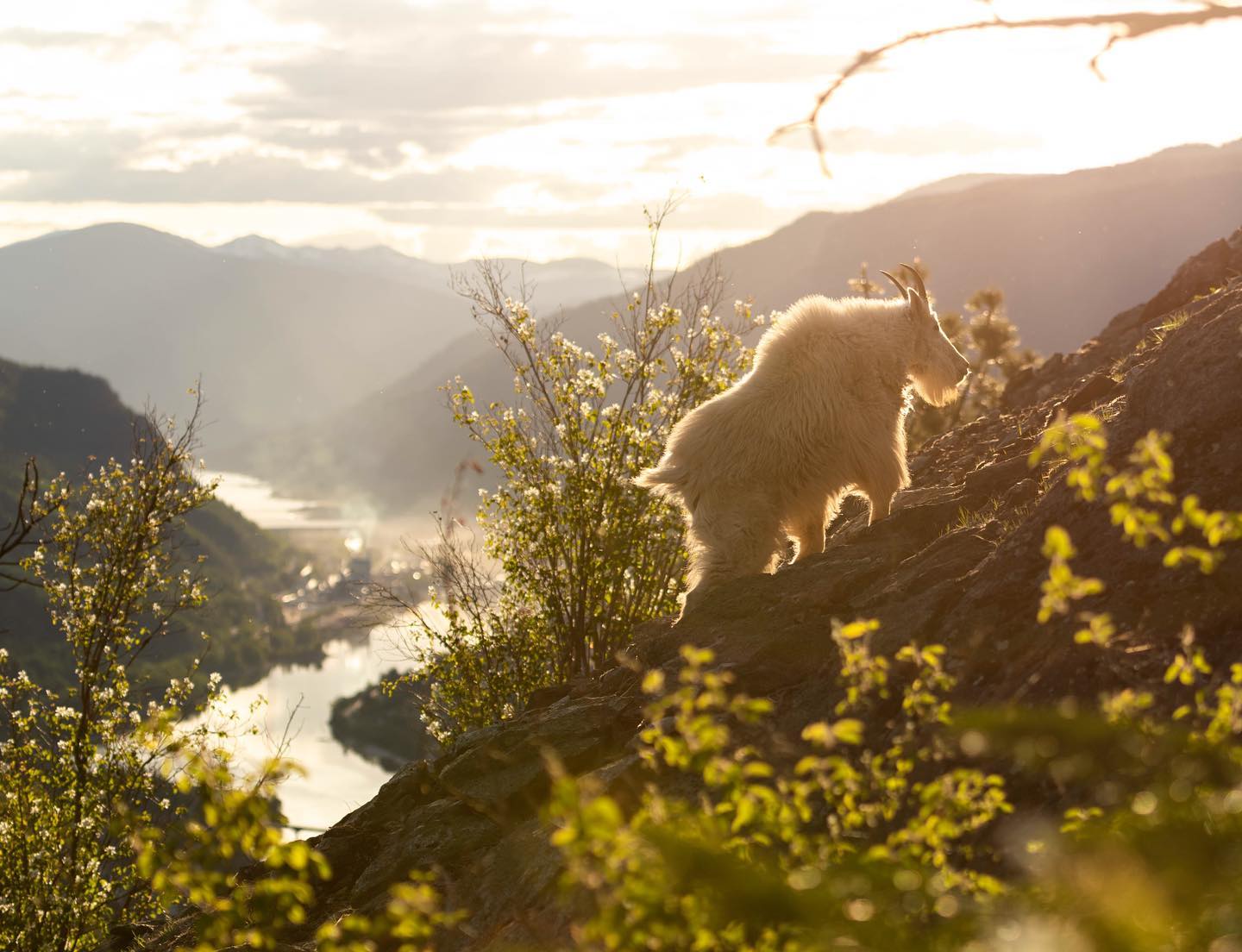
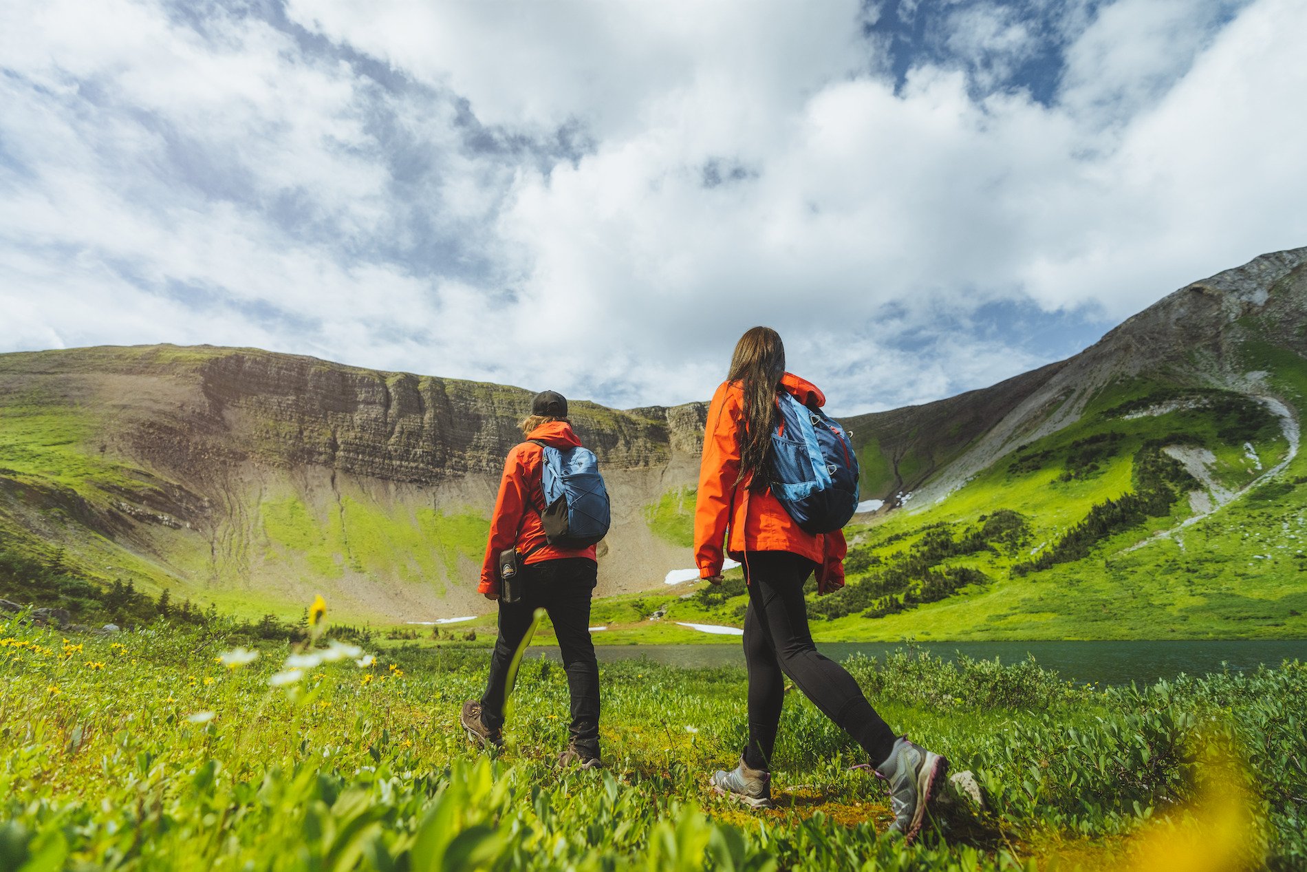
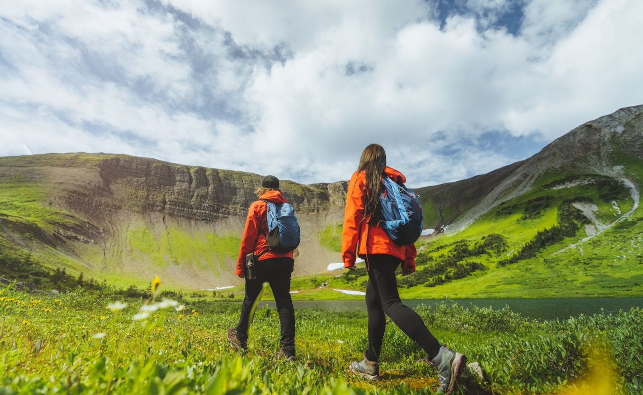
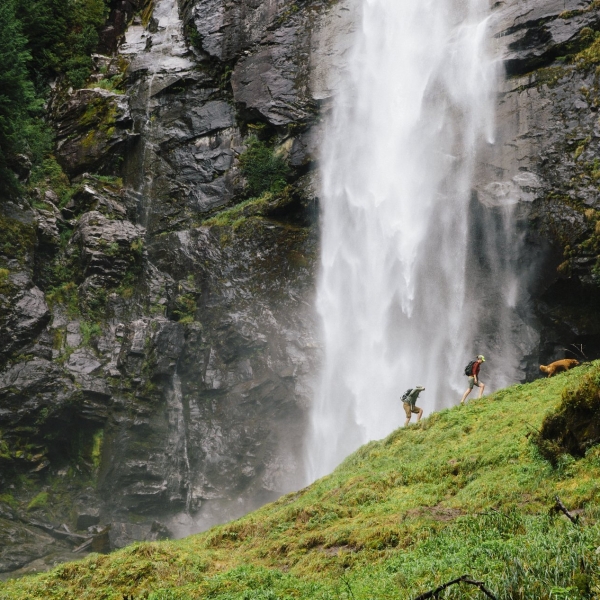
 Golden | @tyler_mckenzie
Golden | @tyler_mckenzie
Golden | @tyler_mckenzie
The Great Wilderness
Alaska Highway
Travel along the historic Alaska Highway through the rugged wilderness of BC’s north.
8 Destinations
3-10 Days
1,343 km | 834 mi
Experience the untamed wild of Northern BC as you drive along this historic route that features one of Canada’s largest natural hot springs, parks with diverse wildlife, and remote communities.
Part 1
Dawson Creek, Chetwynd, and Tumbler Ridge
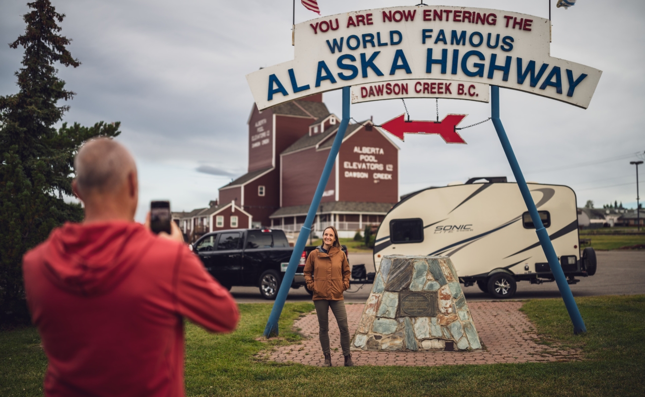
Begin your journey with a photo taken at the “Mile 0” cairn in Dawson Creek, then stop in to the Visitor Centre for an introduction to the Alaska Highway’s fascinating history, then tour the Dawson Creek Art Gallery (housed in a renovated grain elevator annex).
The wetlands around Dawson Creek provide exceptional opportunities for bird watching. The waterfowl refuge at McQueen’s Slough offers a network of boardwalks enabling visitors to walk into the marsh without compromising the integrity of the natural habitat. Enjoy a meal and a craft beer at the new Post & Row Local Taphouse, or at the loveably kitschy favourite, Stuie’s Diner.
-
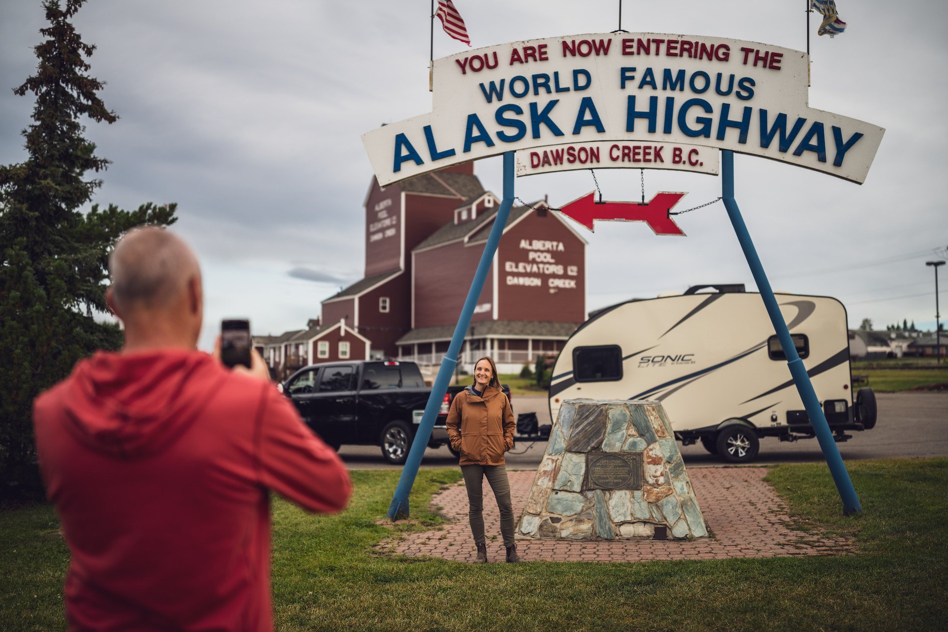 Mile Zero of the Alaska Highway in Dawson Creek, BC.
-
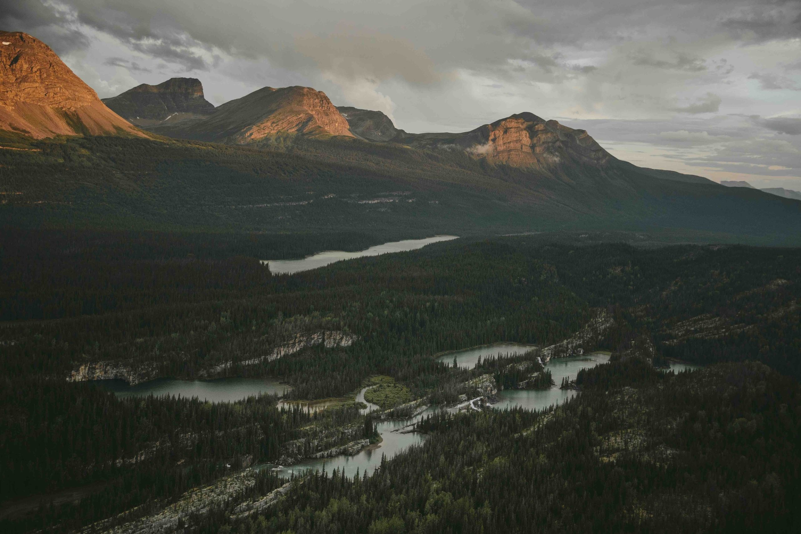
 Weaver Peak, Monkman Provincial Park, Tumbler Ridge UNESCO Global Geopark | Mike Seehagel
-
 Walter Wright Pioneer Village | Andrew Strain
-
 Windfall Lake in Tumbler Ridge | Jesaja Class
Travelling by RV? There are many campgrounds in Dawson Creek, and plenty of day trip options: View an impressive collection of more than 50 chainsaw carvings in Chetwynd, or head to Tumbler Ridge UNESCO Global Geopark where you can visit the Dinosaur Discovery Gallery, hike the many trails of the UNESCO Geopark, or experience the wonder of Kinuseo Falls in Monkman Provincial Park.
Part 2
Dawson Creek to Fort St. John
From Dawson Creek, head north. At Mile 36 in Taylor, you’ll cross the mighty Peace River. Grab a coffee from the Caffeination Station, then visit Peace Island Park, a popular family destination with campsites on the banks of the Peace River.
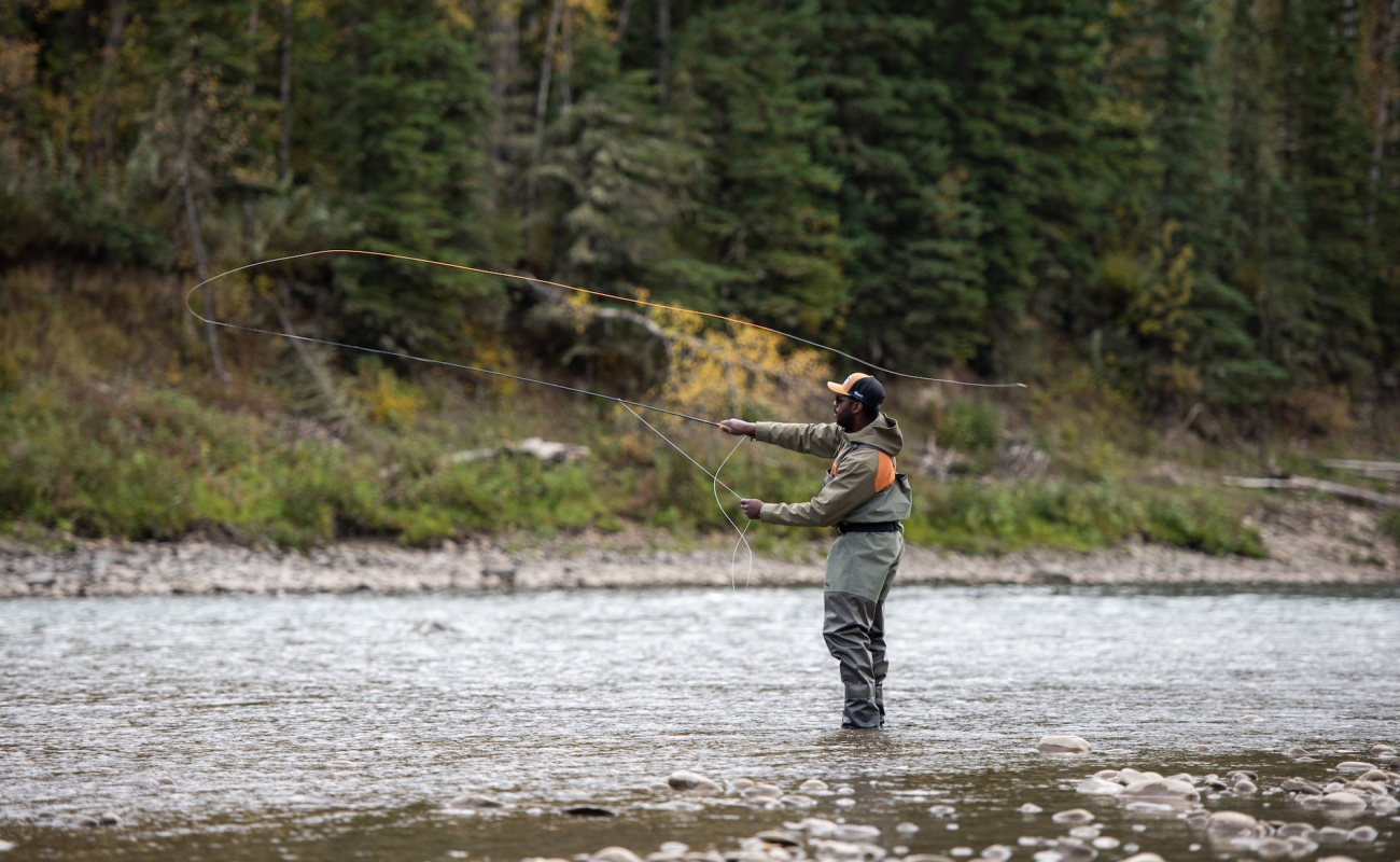 Fly fishing the Peace River in Taylor. | Northern BC Tourism/Christos Sagiorgis
Golfers even have three golf courses to choose from in the area: Lakepoint Golf & Country Club, Fort St. John Links, and Lone Wolf Golf Club.
Part 3
Fort St. John to Pink Mountain
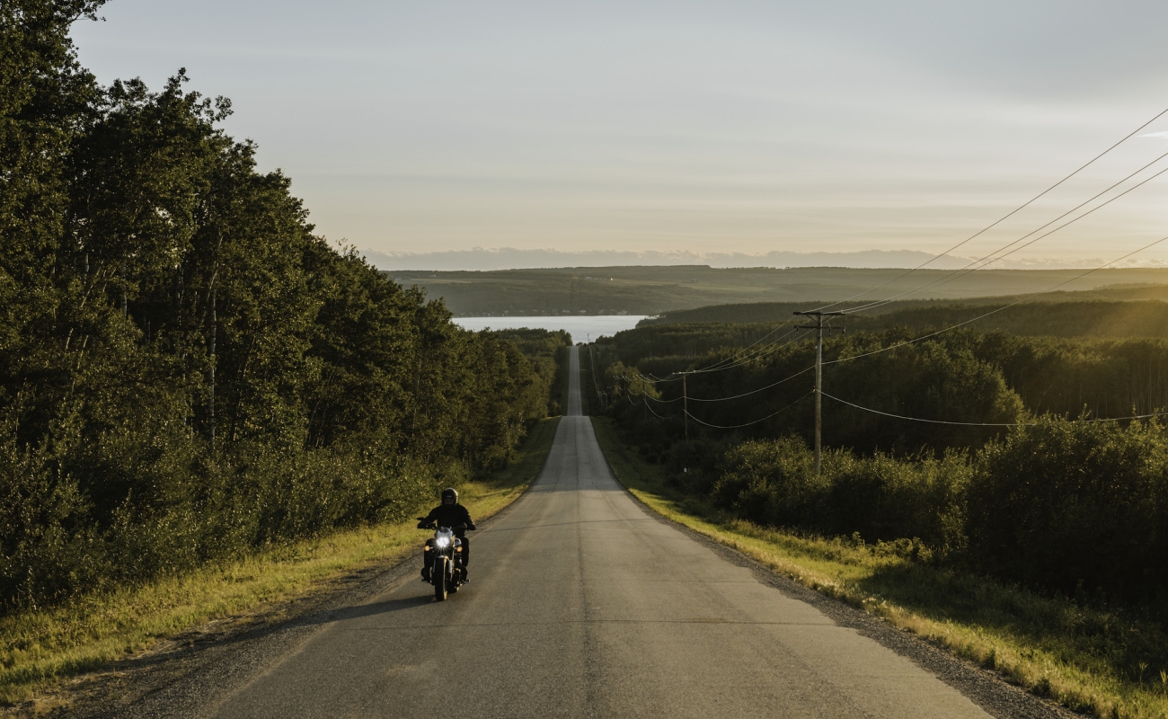
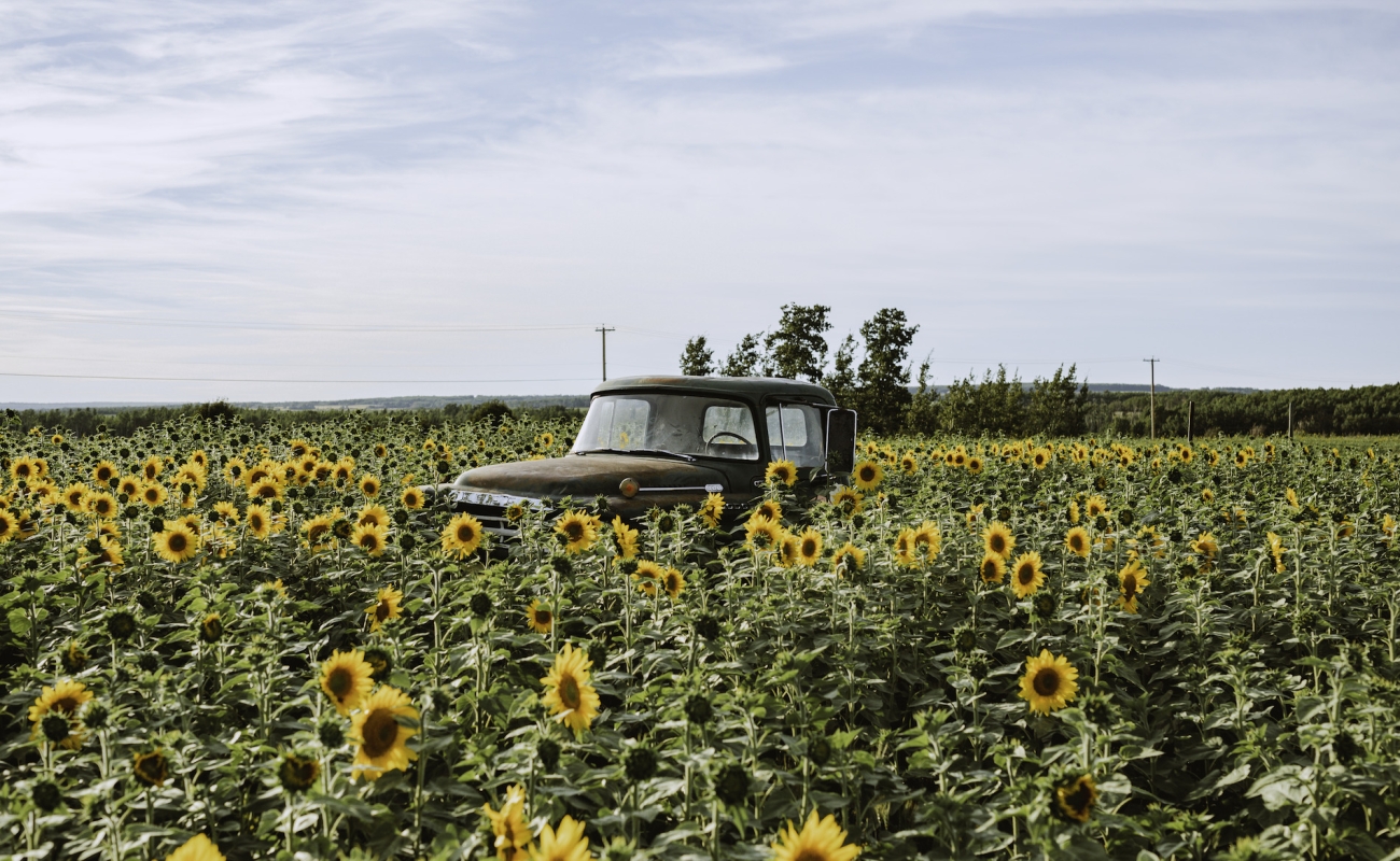
In Fort St. John, stop for lunch at Whole Wheat & Honey or grab a local craft beer at at Beard’s Brewing or Mighty Peace Brewery. Be sure to check out the North Peace Cultural Centre Gallery and The Indigenous Artist Market before continuing your journey.
-
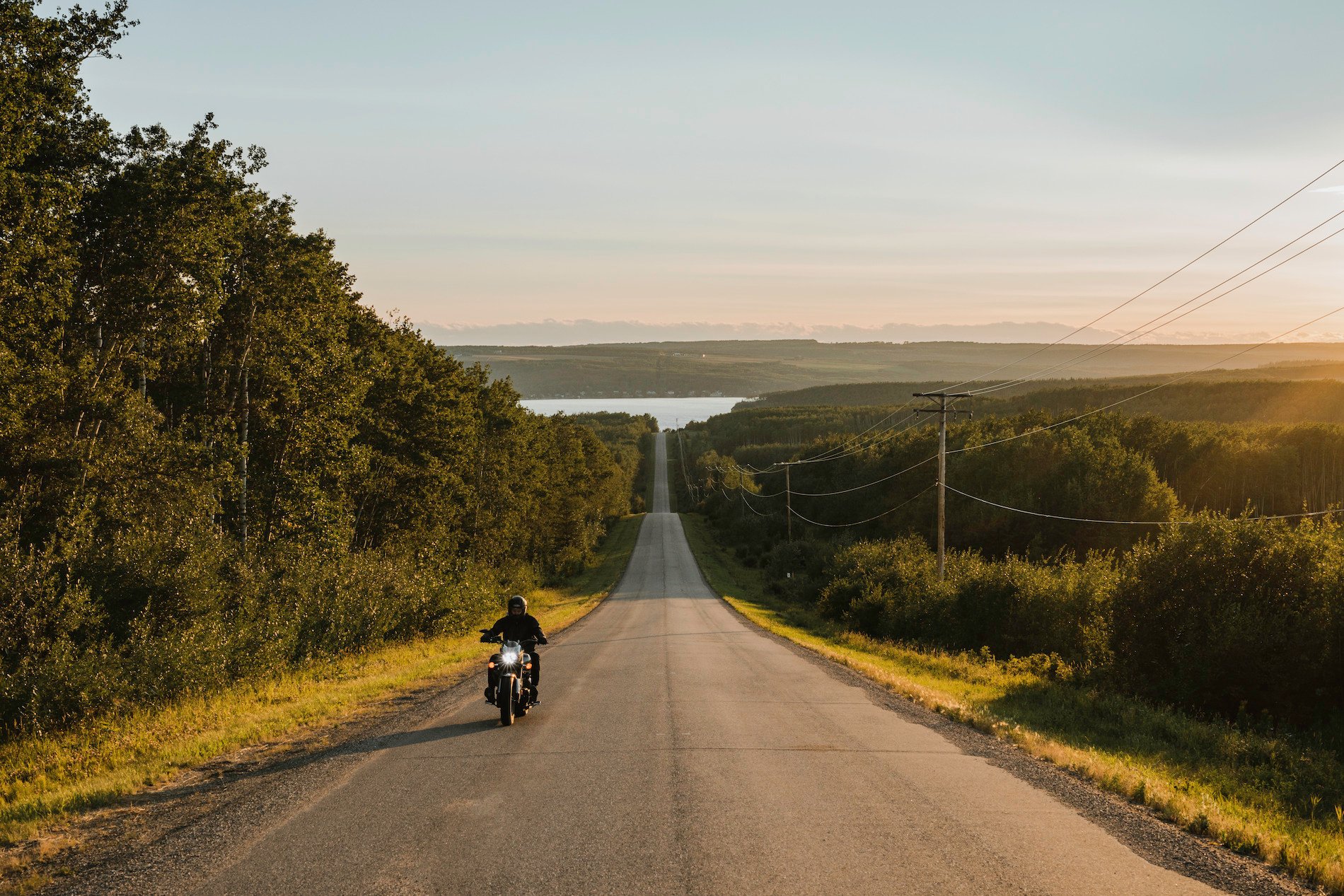 Motorcycling near Fort St. John. | Shayd Johnson
-
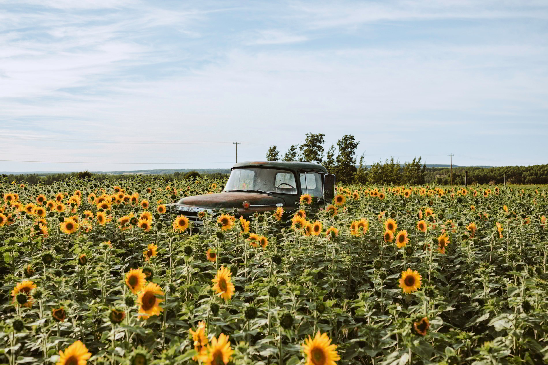 Sunflower field near Fort St. John | Shayd Johnson
-
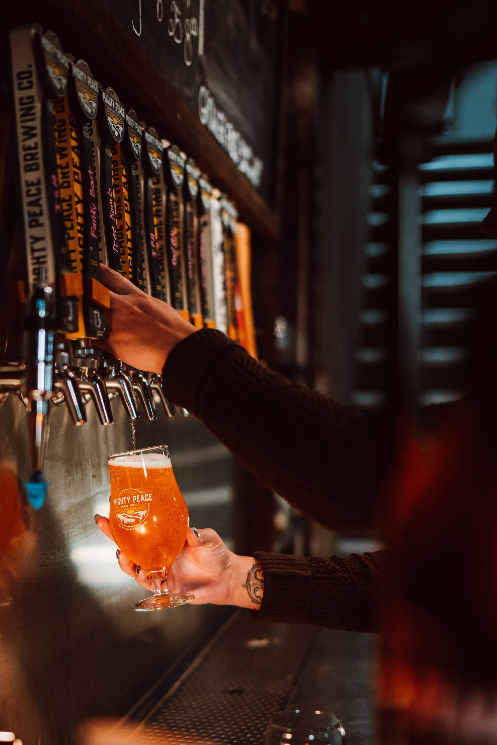 Mighty Peace Brewery in Fort St. John | Darrin Rigo
-
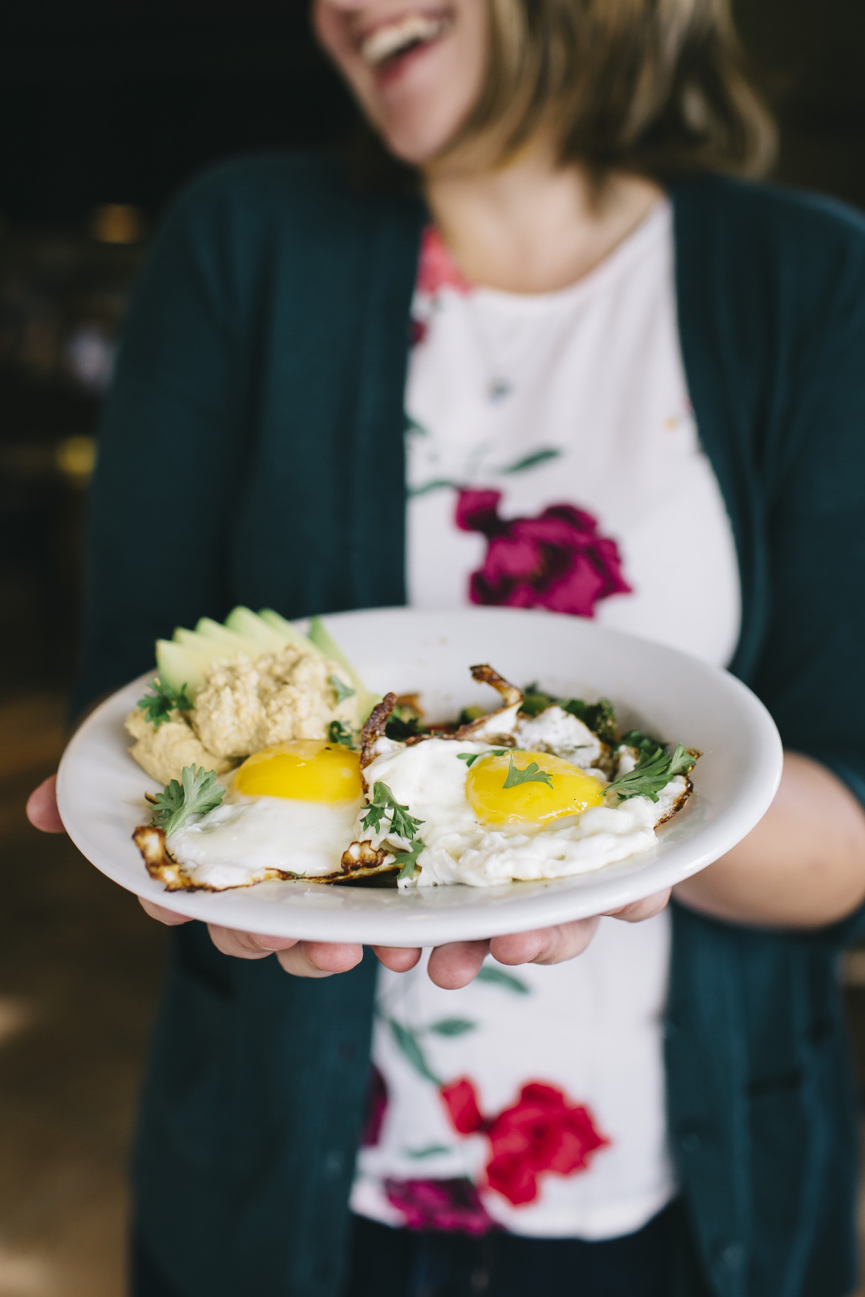 Whole Wheat & Honey restaurant in Fort St. John | Sarah Sovereign

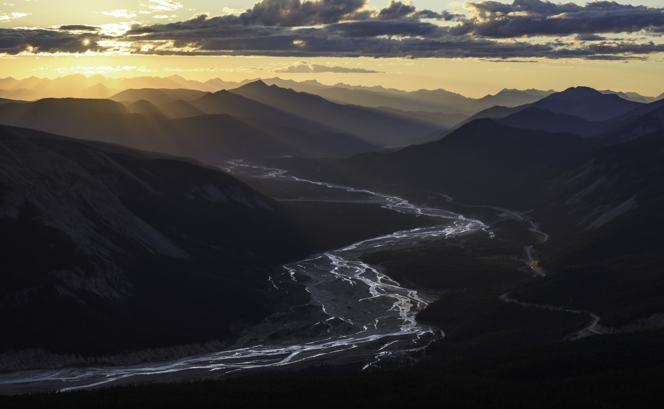
Just beyond Fort St. John you’ll pass Charlie Lake and Pink Mountain provincial parks. Fish for walleye and northern pike in Charlie Lake, and admire the rich pink hues of fireweed blossoms on Pink Mountain at sunrise. Continuing north, pass Sikanni Chief Falls, located in an ecological reserve. View the 30-metre falls from a scenic vantage point or take a hike through the park.
Part 4
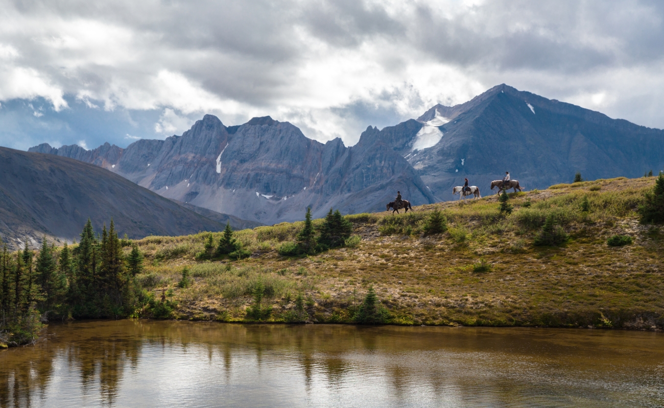
Fort Nelson
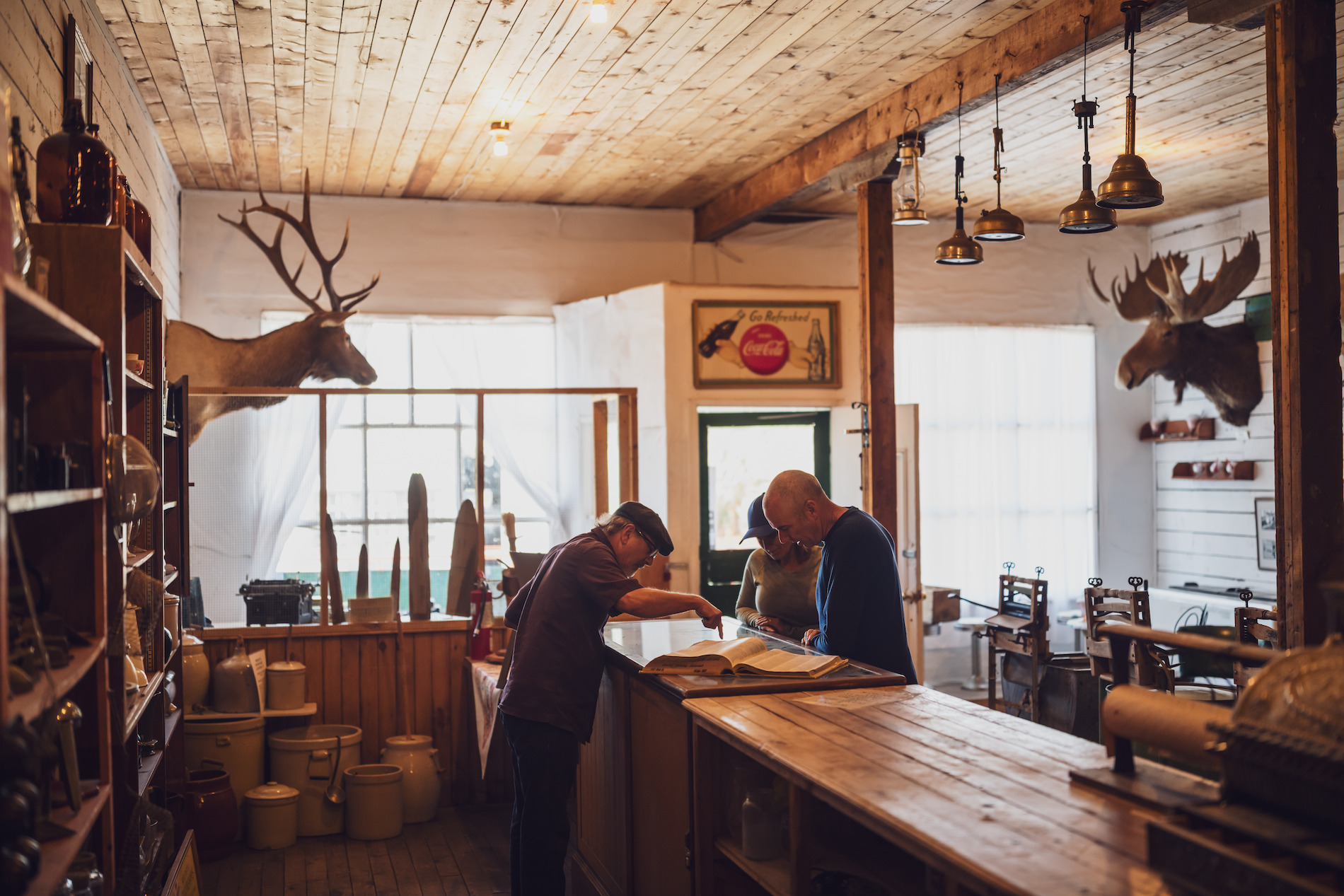
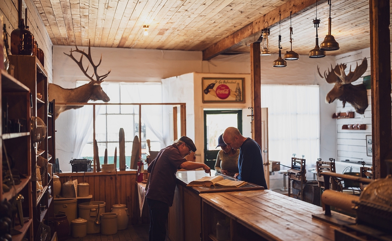
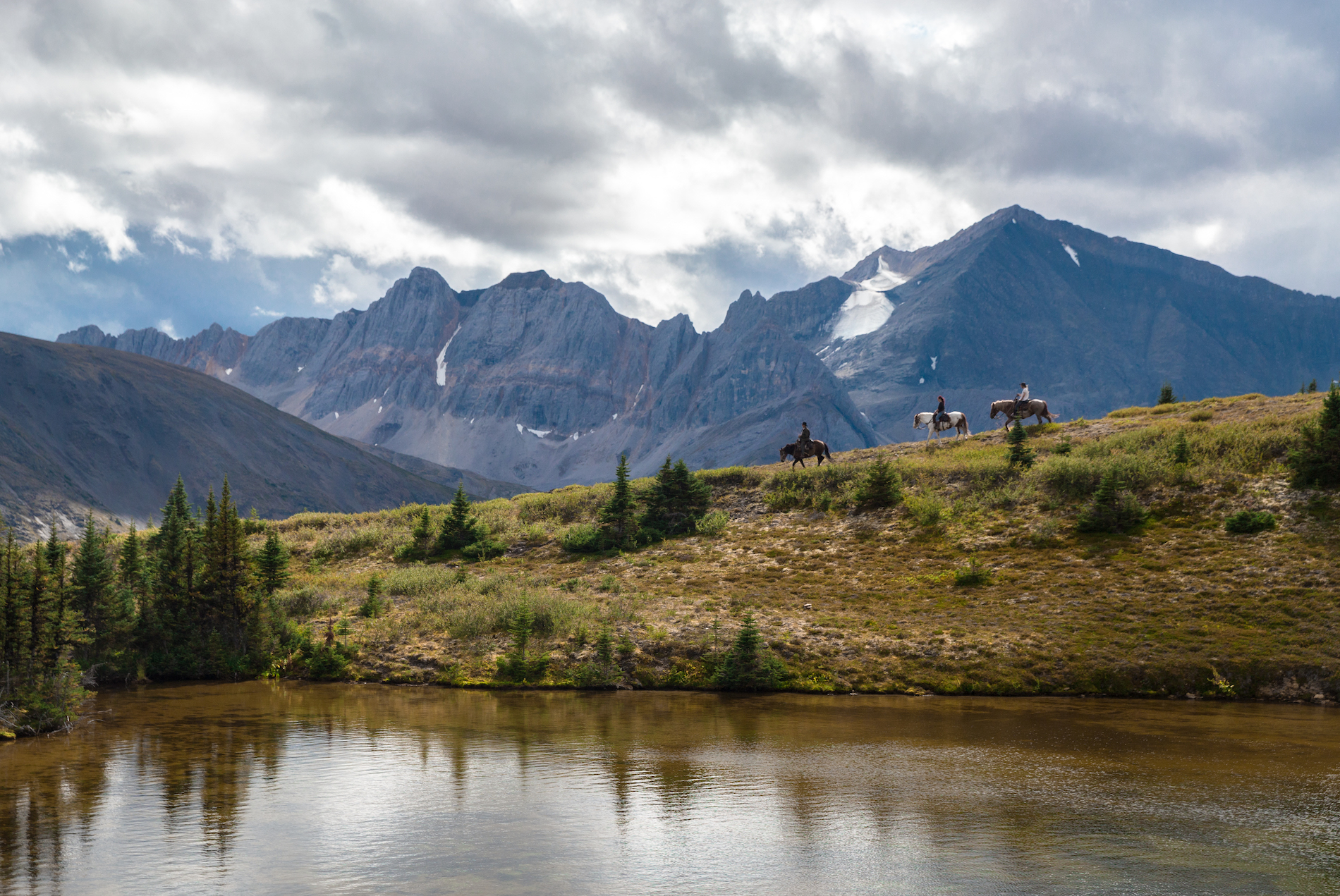
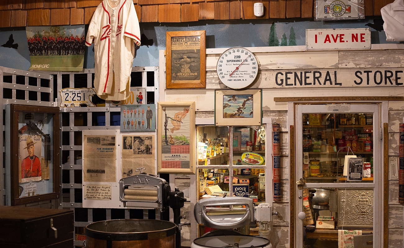
Learn about Fort Nelson’s pioneering history at the Fort Nelson Heritage Museum. The nearby Muskwa-Kechika Management Area, known as the “Serengeti of the North,” is one of the last tracts of true wilderness south of the 60th parallel. Take a guided horseback trip with Muskwa-Kechika Adventures to soak up the larger-than-life landscape.
-
 Dune Za Keyih Provincial Park | Taylor Burk
-
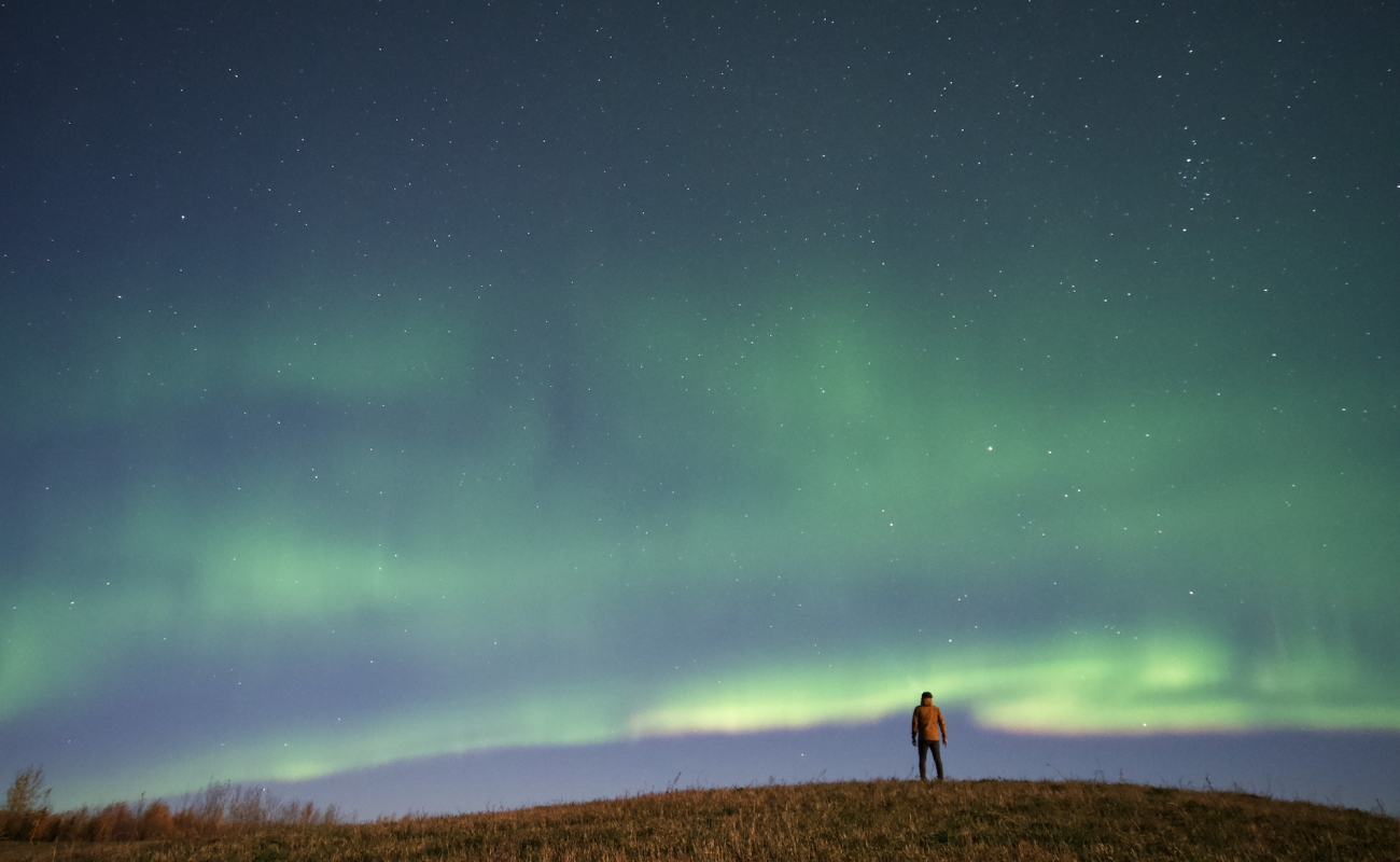
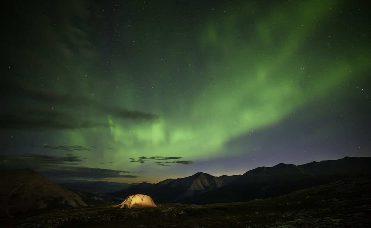
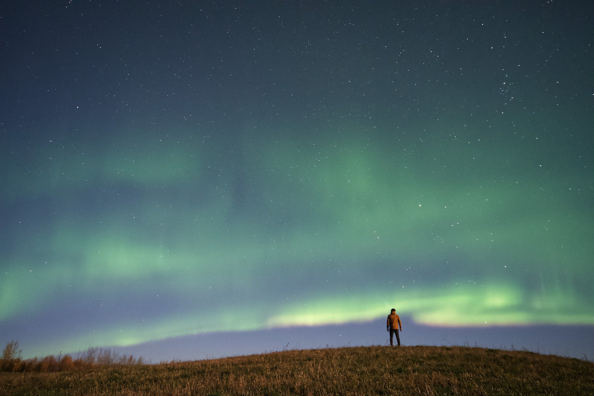 Northern lights/Aurora Borealis in Fort Nelson | Ryan Dickie
-
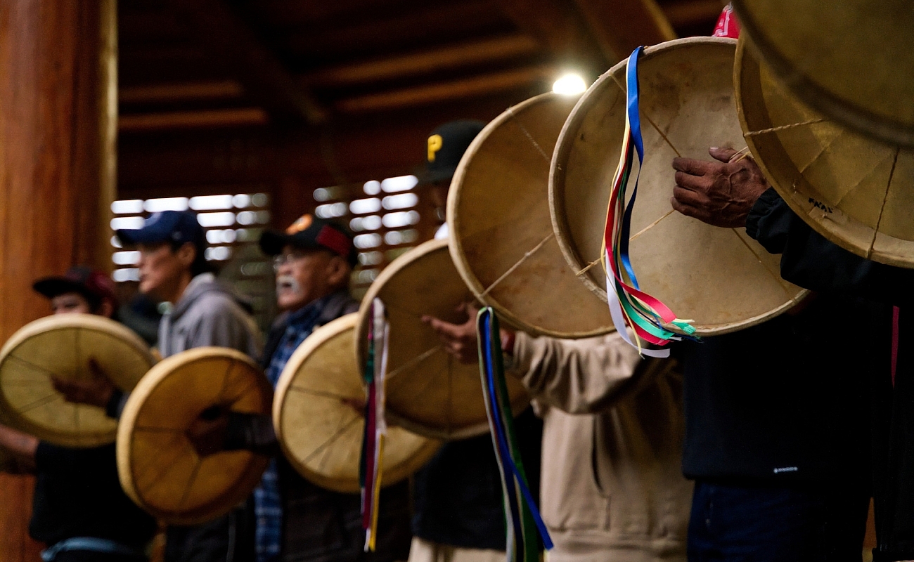
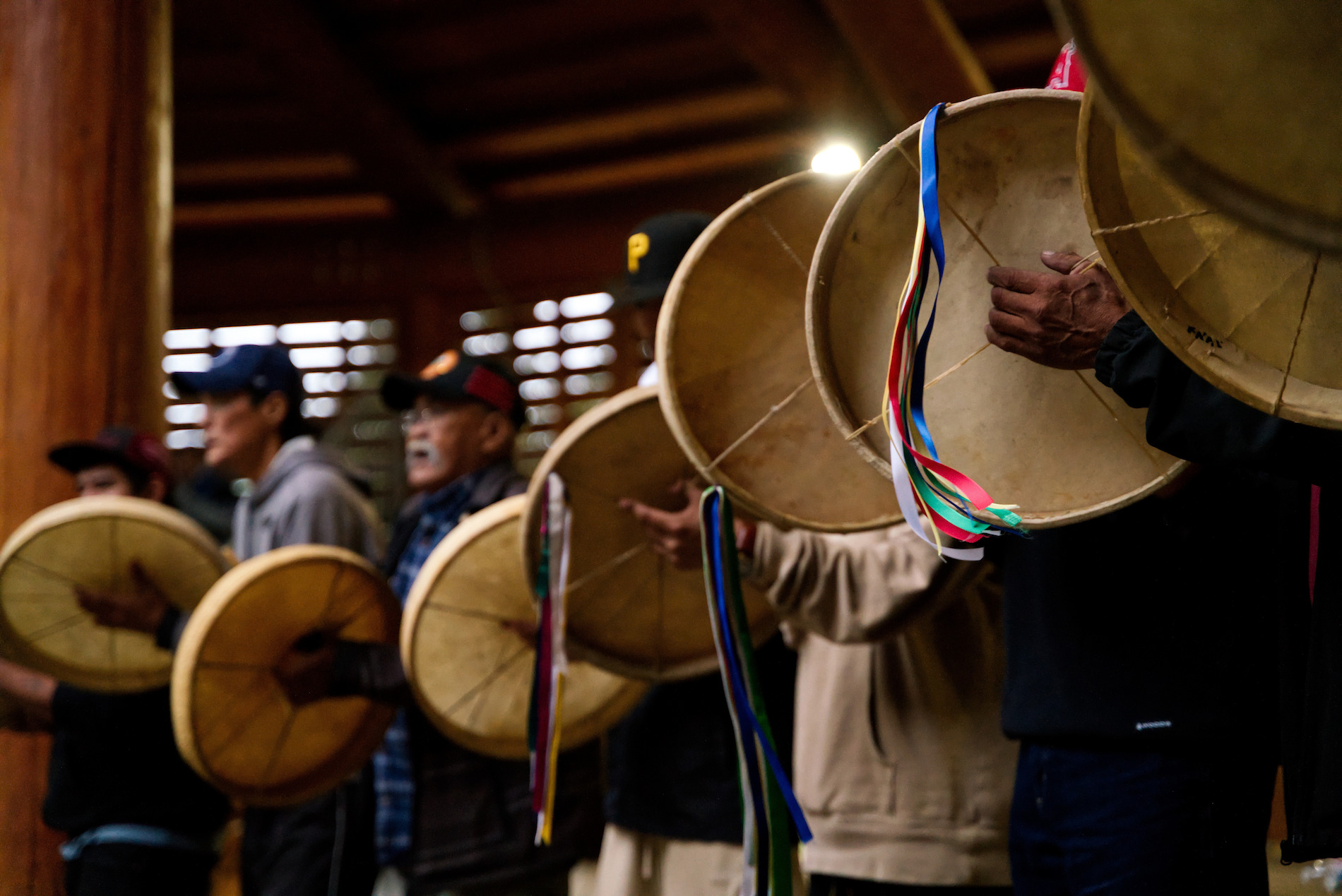 Fort Nelson First Nation, Traditional Dene Drum Dance during Annual Celebration | Ryan Dickie
-
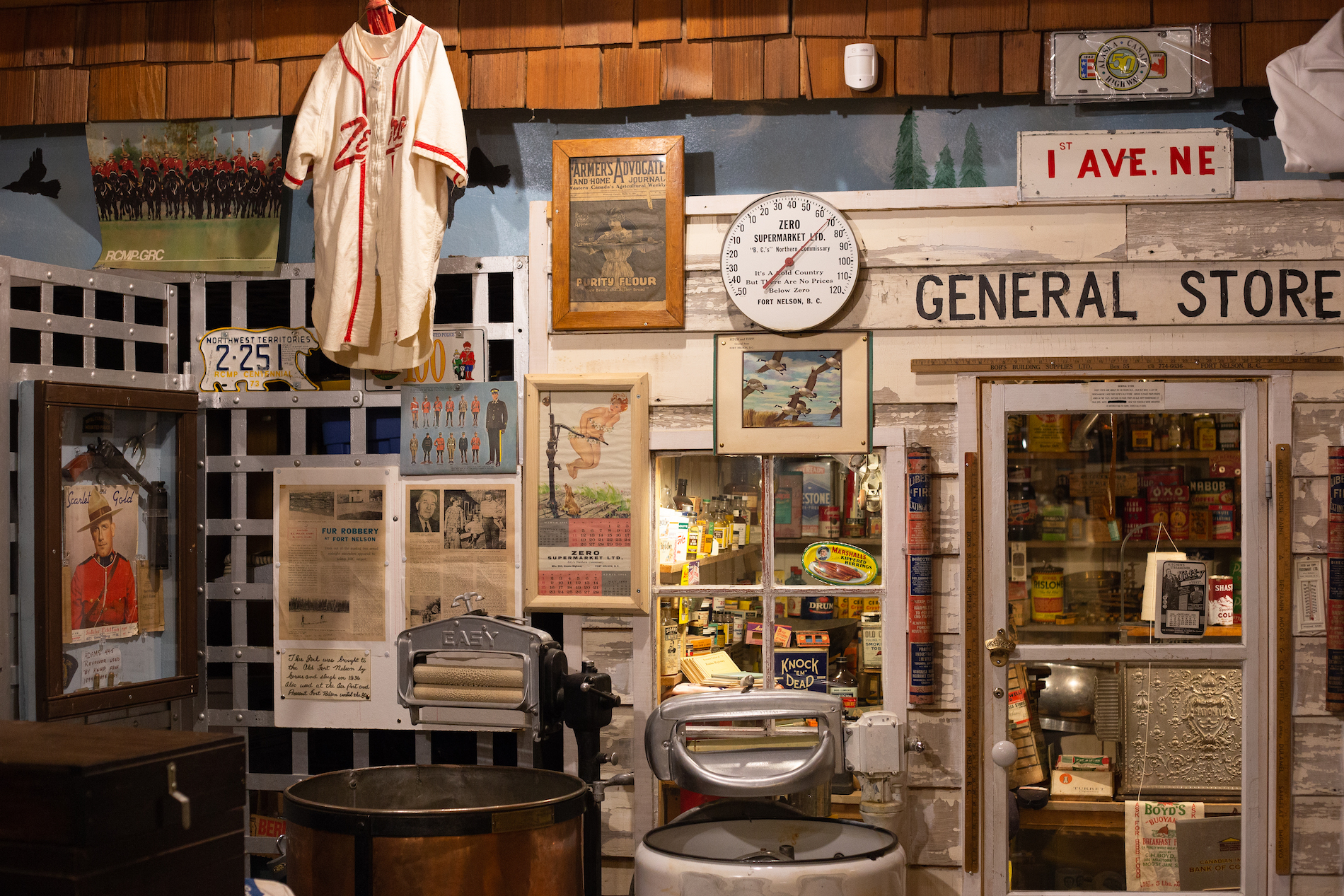 Fort Nelson Heritage Museum | Gabriel Munhoz
For a more relaxing experience, fly in to Elisi Spa & Wilderness Resort and enjoy a variety of activities including fishing, hiking, horseback riding, photo safaris, wildlife viewing, and spa treatments.
Part 5
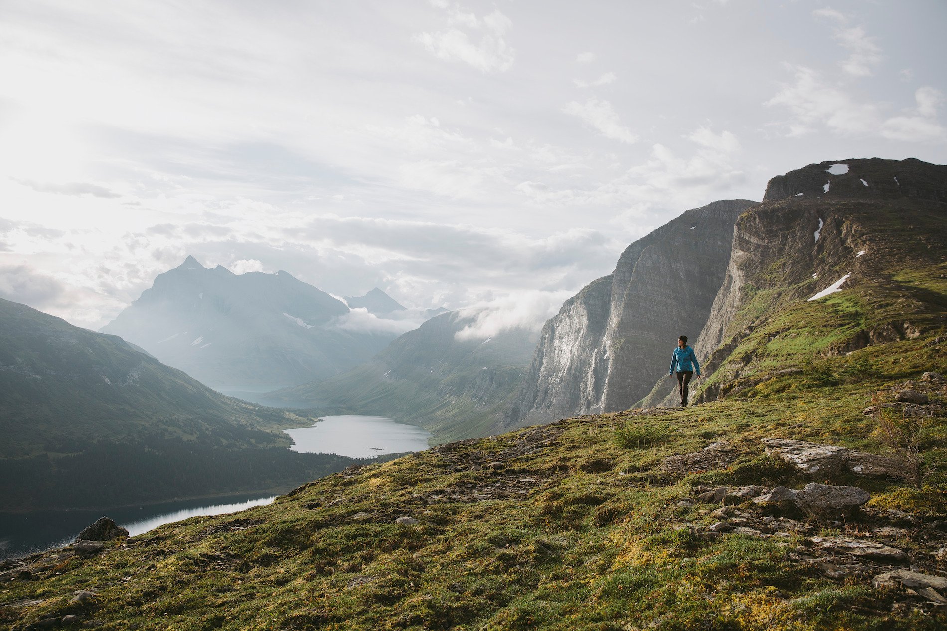
Stone Mountain Provincial Park
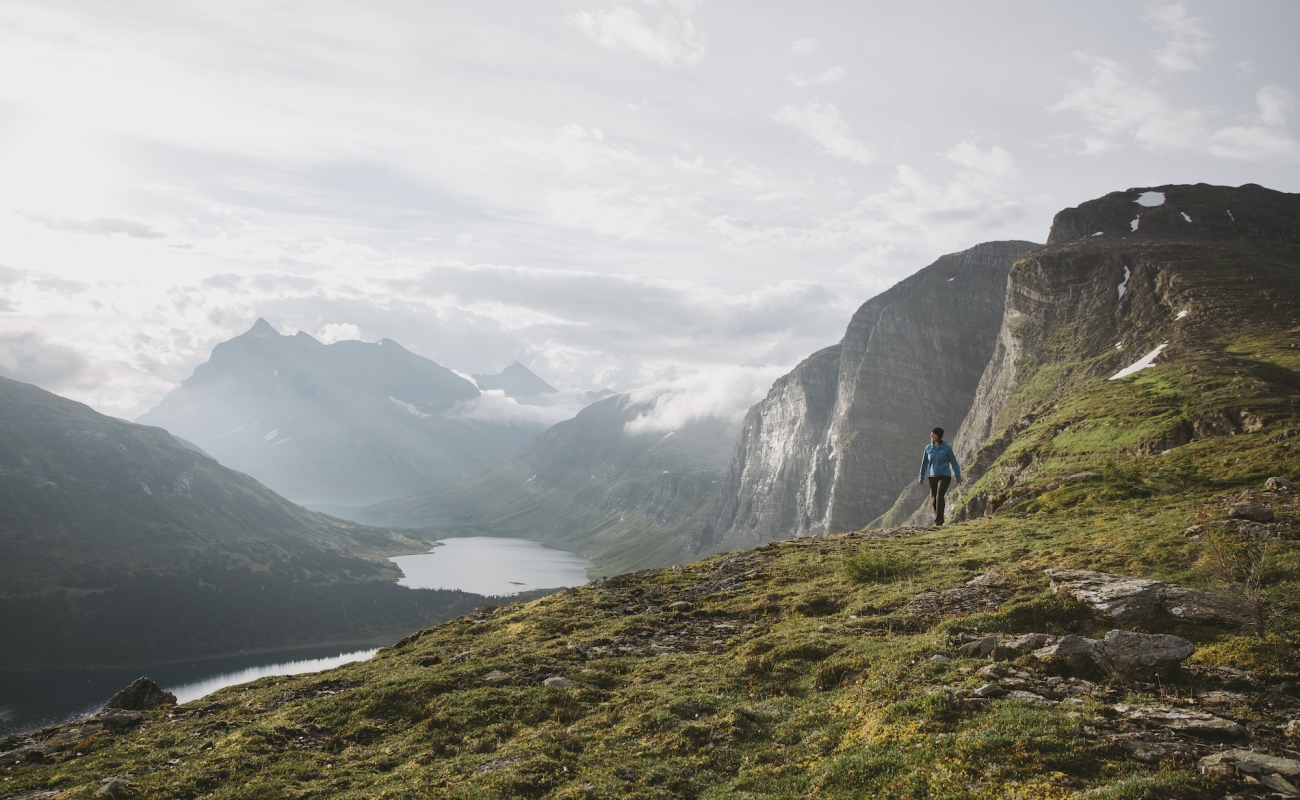
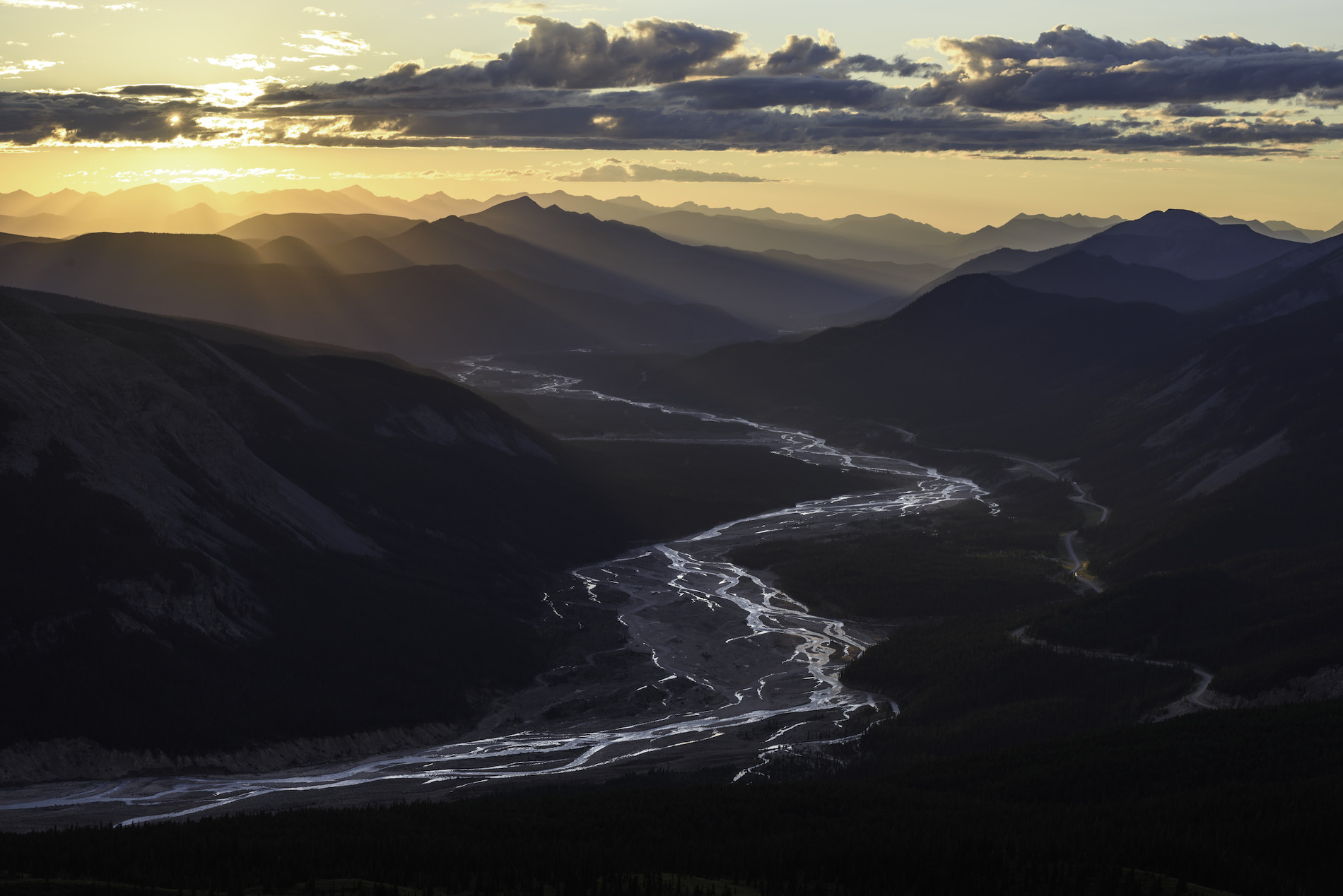
En route to Muncho Lake, stop by Stone Mountain Provincial Park. The park offers breathtaking views and remarkable wildlife viewing opportunities, as well as a wide range of recreational activities, including hiking and biking trails suitable for all levels.
-
 Stone Mountain Provincial Park | Andrew Strain
-
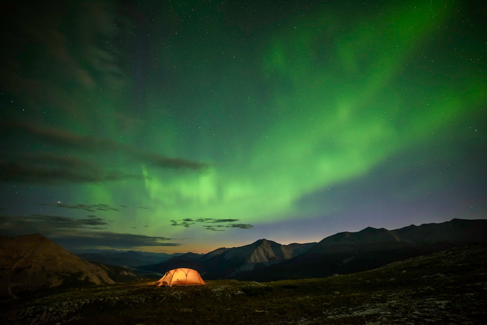 Northern lights near the Alaska Highway | Andrew Strain
-
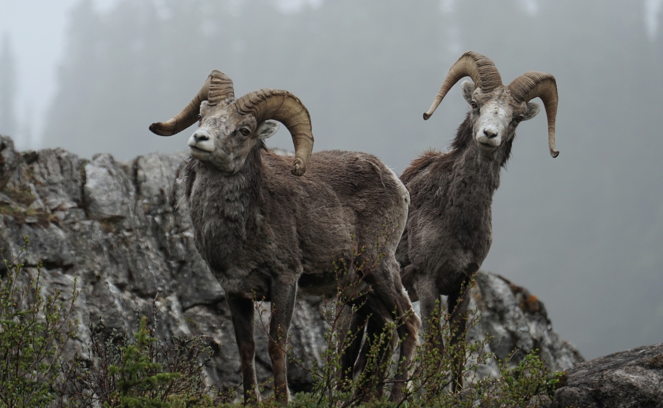
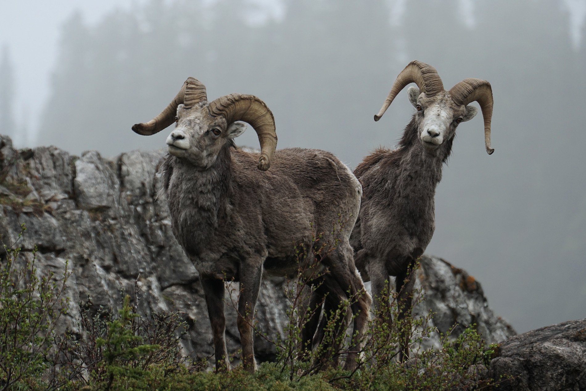 Stone sheep along the Alaska Highway | Ryan Dickie
-
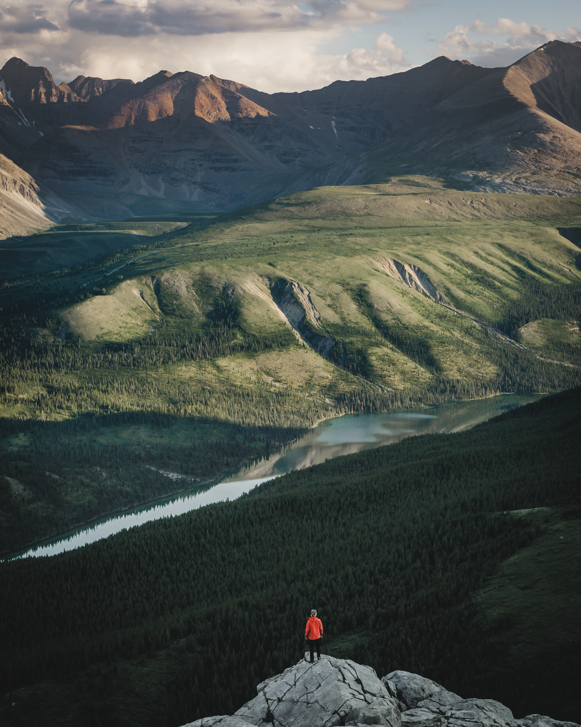 A hiker looks out over the valley in Stone Mountain Provincial Park | Matthew Massa

Hike Summit Ridge, a moderate 4.5-kilometre trail, to see a full panoramic view of the Northern Rockies. Need a quick snack to fuel up? Stop at Tetsa River Lodge for the best cinnamon buns on the Alaska Highway!
Part 6
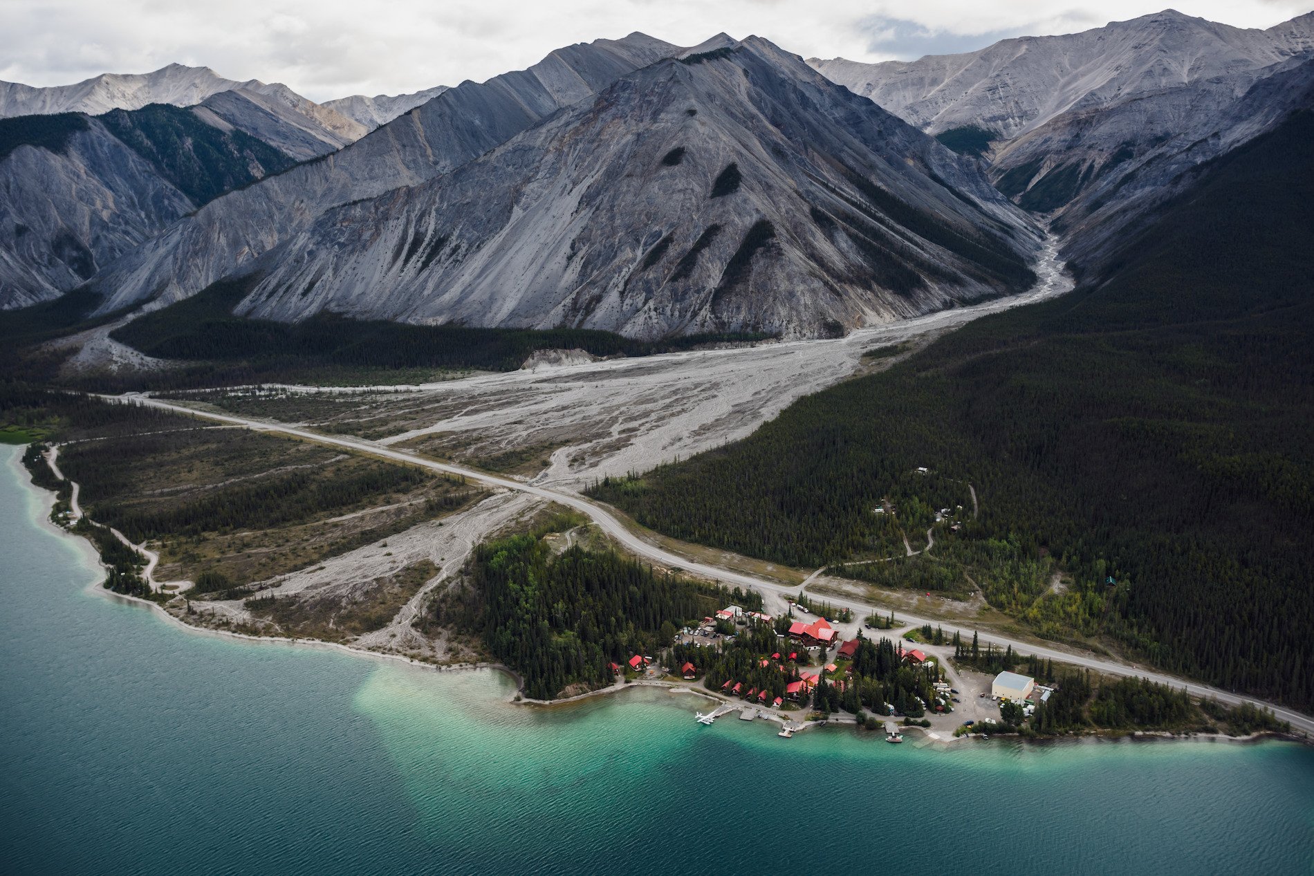
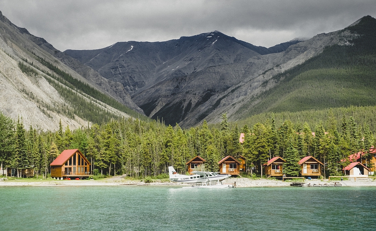
Muncho Lake Provincial Park
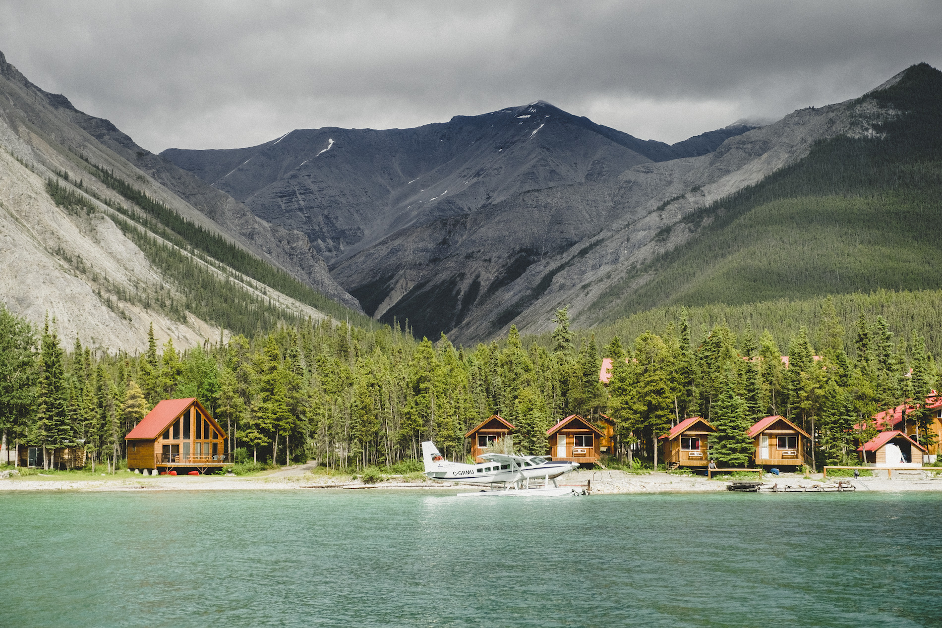
Your next stop is Muncho Lake Provincial Park, an icon in The Great Wilderness, offering great fishing, boating, and wildlife viewing. The real star of this park is the lake itself, deep, cold, and tinted jade-green by copper oxides leeching out of the lake bedrock. Northern Rockies Lodge offers boat rentals, and flight seeing tours are available.
-
 The Northern Rockies Lodge | Andrew Strain
-
 Northern Rockies Lodge in Muncho Lake Provincial Park | Megan McLellan
-
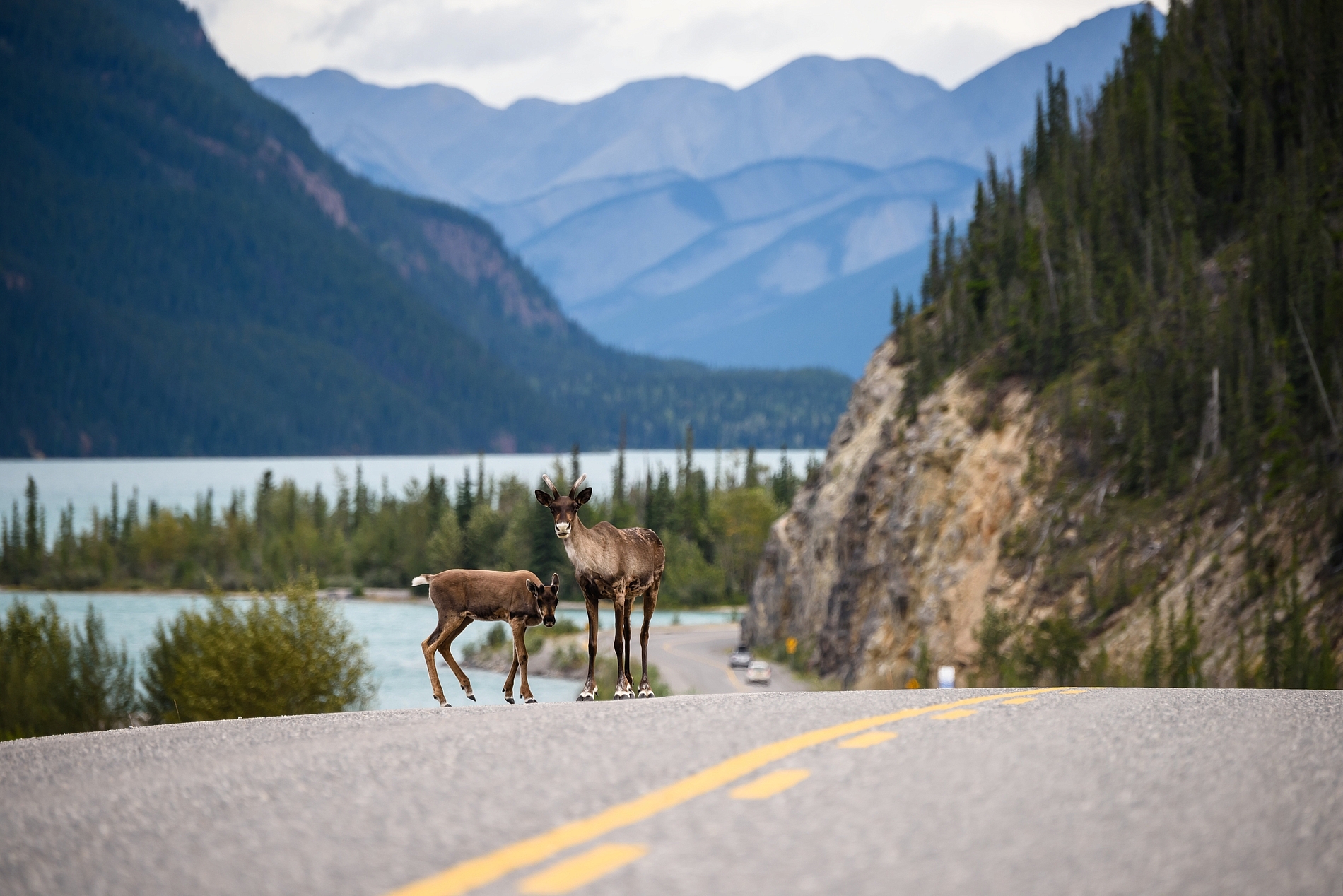 Two caribou on the Alaska Highway in Muncho Lake Provincial Park | Destination BC/Andrew Strain
-
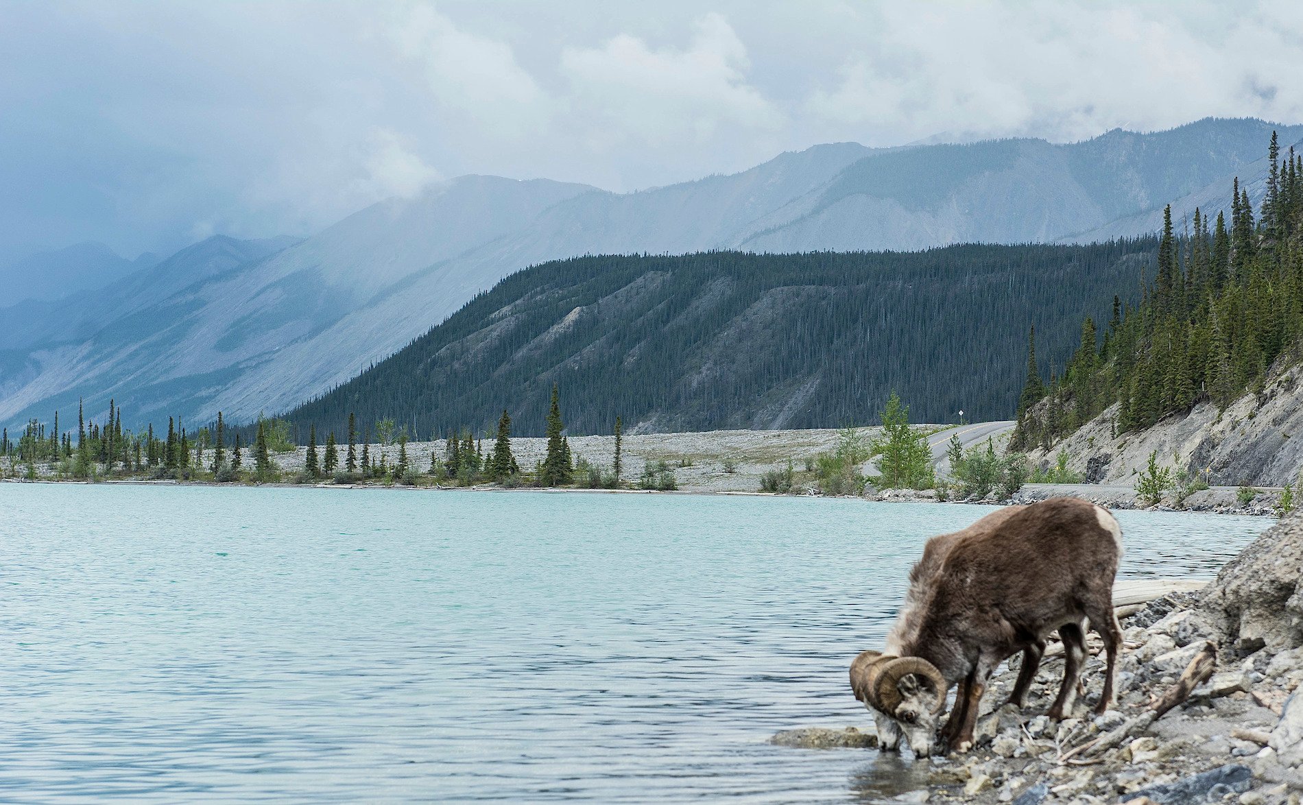 Stone sheep at Muncho Lake along the Alaska Highway | Chris Gale
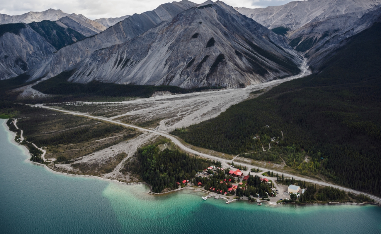

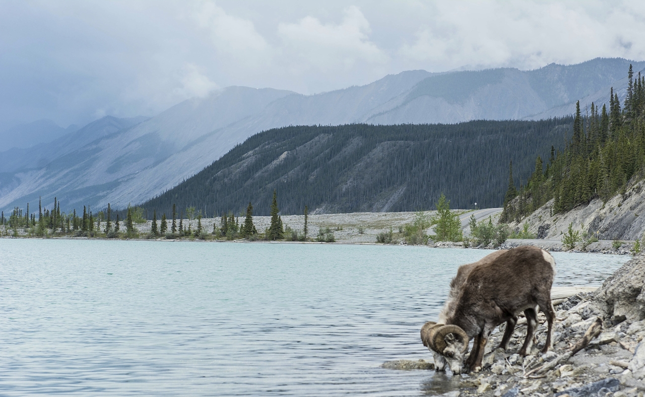
As you leave the park, notice the impressive geological formations of Folded Mountain, and look for wildlife including Stone’s sheep, moose, caribou, and mountain goats.
Part 7
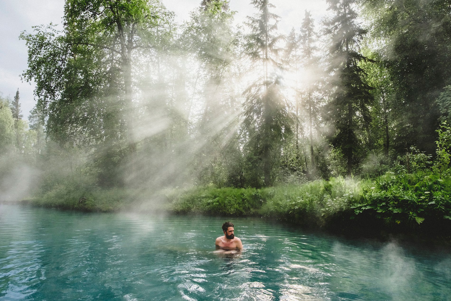
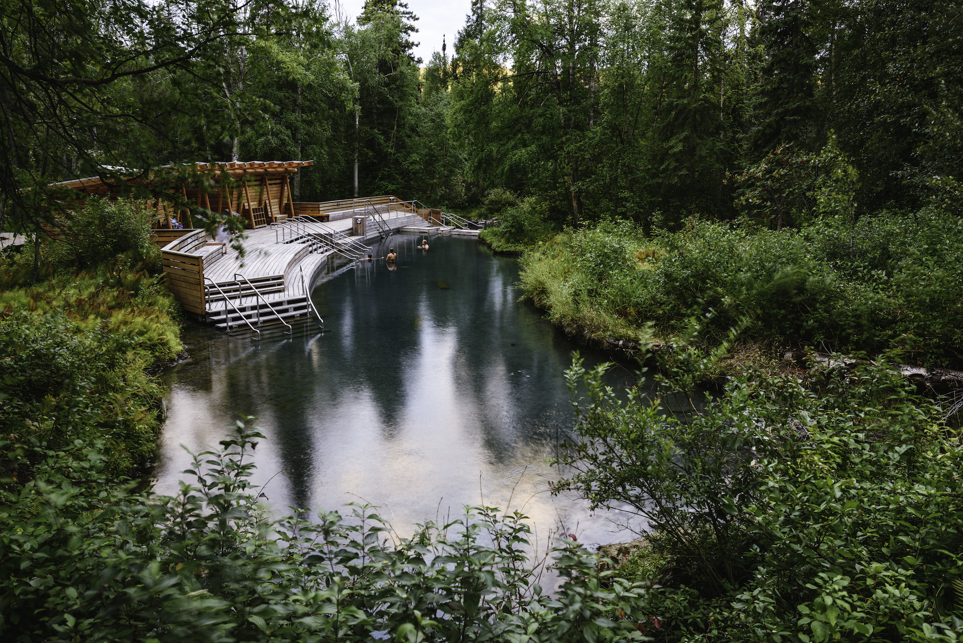
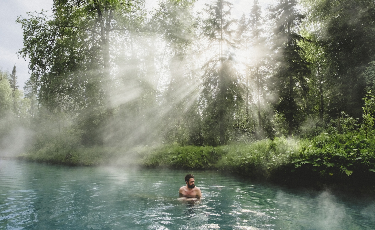
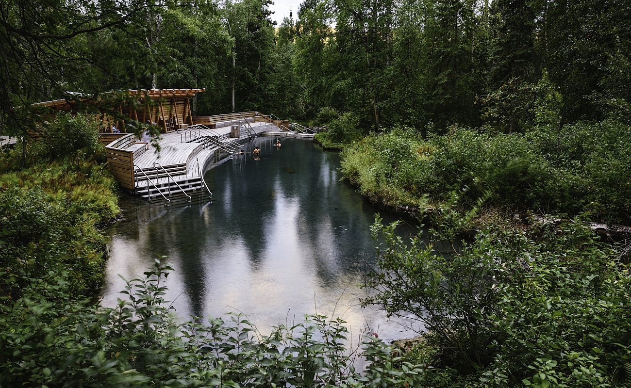
Liard River Hot Springs Provincial Park & Smith River Falls
On this last stretch of the Alaska Highway that runs to the Yukon border, don’t miss Liard Hot Springs Provincial Park. This park offers excellent campsites, and provides ample opportunity for wildlife viewing—especially moose, which are year-round residents. In summer, bulls, cows, and calves can be observed feeding in the swamps.
Approximately 25 kilometres farther up the highway, stop at Smith River Falls, 2.5 kilometres off the highway down a gravel road (not recommended for large RVs and trailers). The falls are visible from the small parking area, or you can take a short 500-metre hike down to the base of the falls. Be careful as the path is quite steep in places.
-
 Liard Hot Springs on the Alaska Highway | Megan McLellan
-
 Liard River Hot Springs | Andrew Strain
-
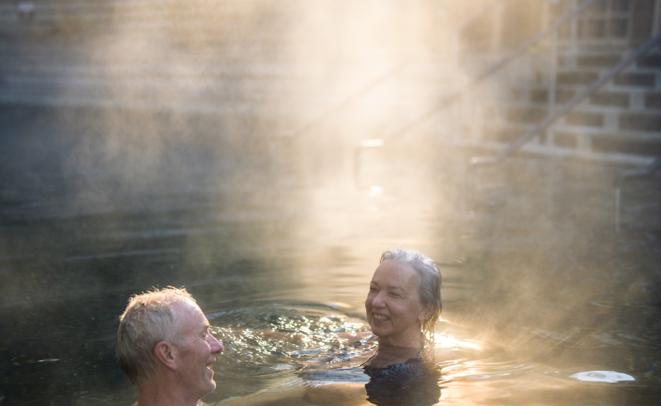
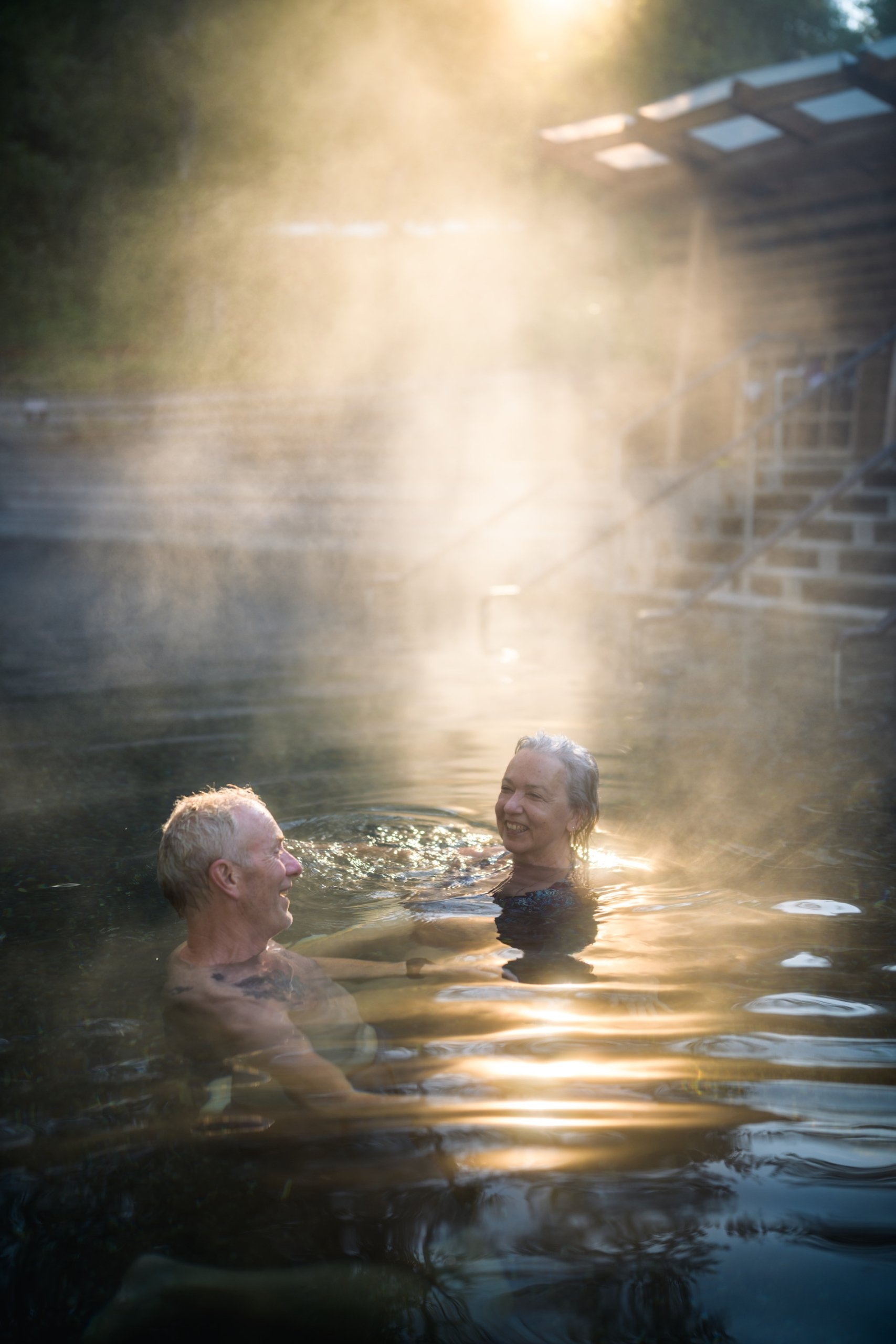 Going for a soak in Liard River Hot Springs | Andrew Strain
-
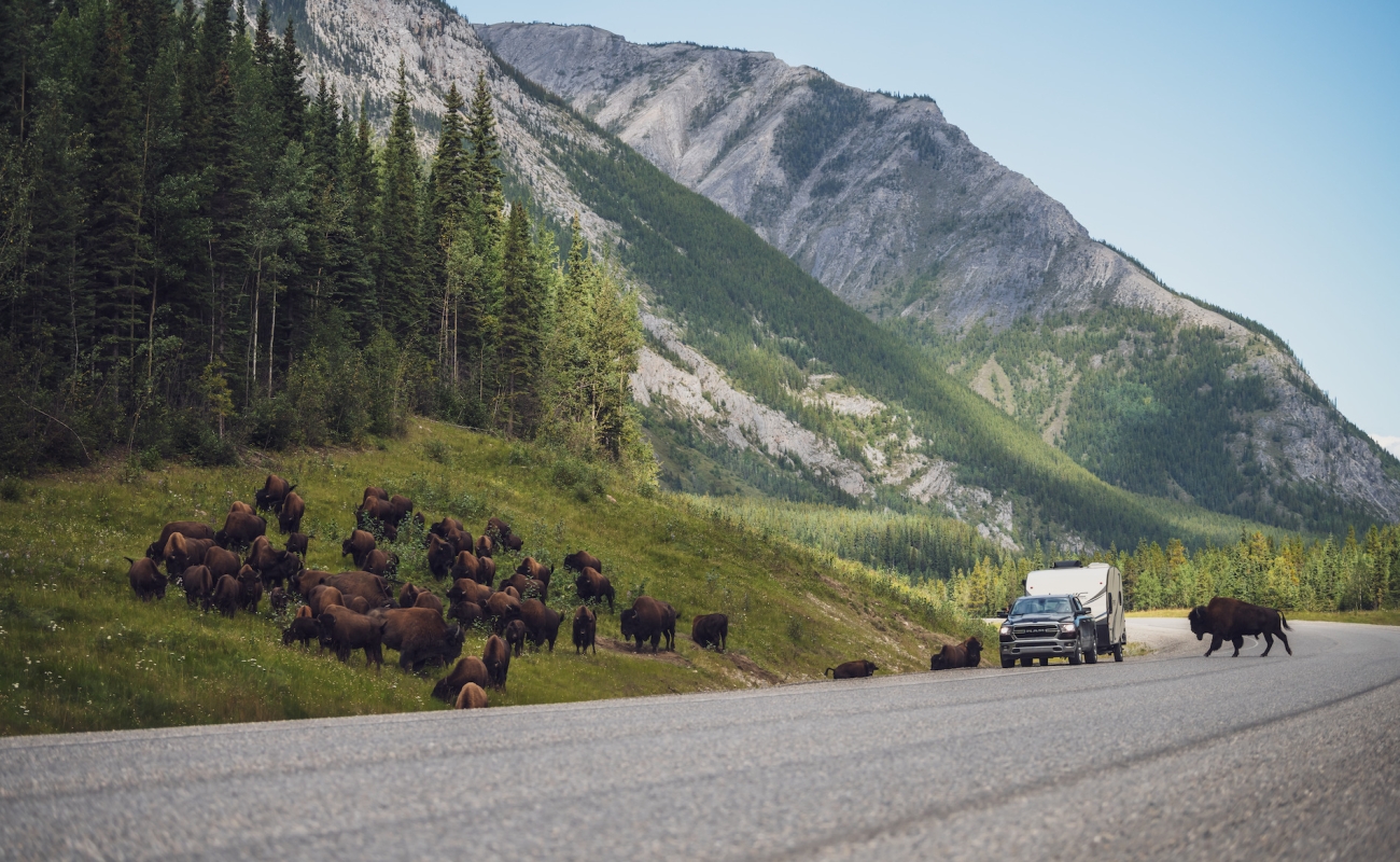
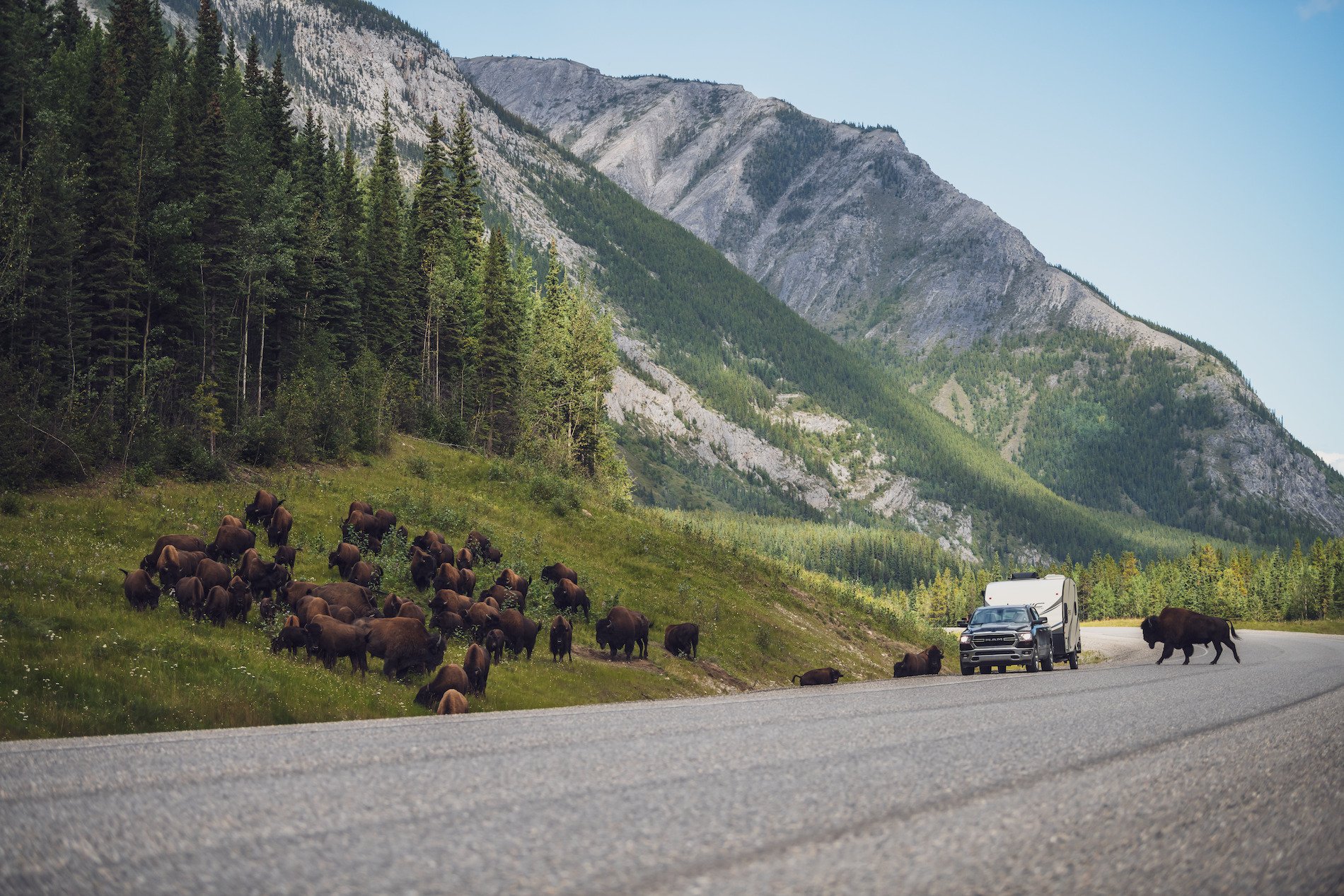 Bison along the Alaska Highway | Andrew Strain
At the bottom of the trail, you will find a beautiful view of the two-tiered waterfall. The pool at the base of the falls is fantastic for arctic grayling fishing, and fly fishing is recommended here in late summer.
Make sure to stop for a bison burger at Coal River Lodge & RV Park (the last place for supplies and gas before you reach the Yukon border), then head 10 kilometres up the highway to Whirlpool Canyon where there are unserviced, no-frills camping opportunities. In another 50 kilometres, stop at Allen’s Lookout for spectacular views of the Liard River.
Part 8
Yukon and Optional Side Trips
Historical Mile 627 is the official BC-Yukon border. In Watson Lake, don’t miss the Sign Post Forest, a collection of more than 60,000 mileage posts indicating the direction and distance to previous visitors’ hometowns.
-
 Tā Ch'ilā Provincial Park (Boya Lake) | Northern BC Tourism/Andrew Strain
-
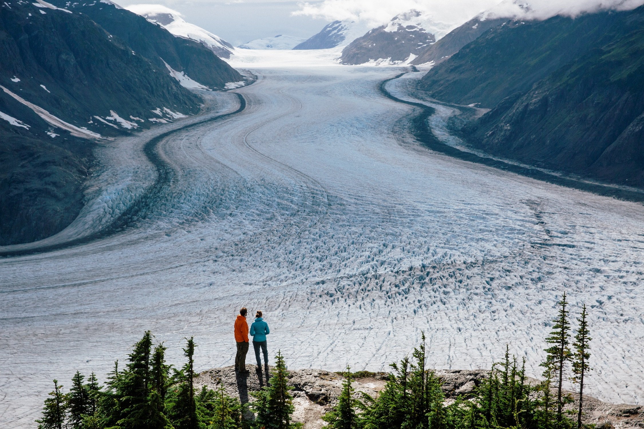
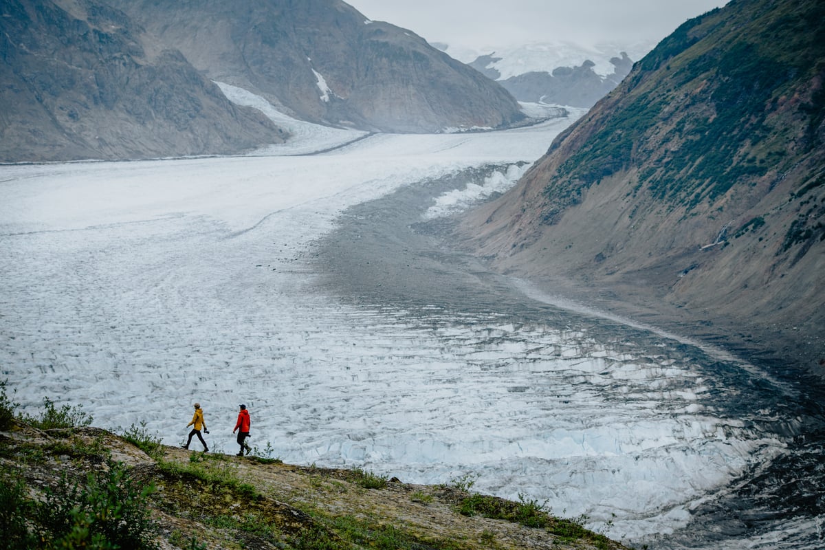 The Salmon Glacier near Stewart. Photo: Northern BC Tourism/Marty Clemens
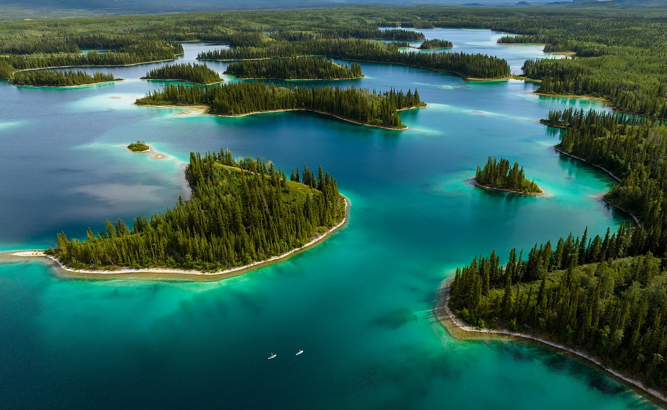
Recommended side trip: Historical Mile 649 is the junction to the Stewart-Cassiar Highway (Highway 37), which takes you south to the Hazeltons. Notable stops along the way include: Tā Ch’ilā Provincial Park (Boya Lake Provincial Park), where the warm, jade-coloured waters are perfect for swimming and paddling; Stewart, a colourful frontier town where the ocean meets the mountains (stay at the Ripley Creek Inn and be sure to pop into the Toastworks Museum); and Meziadin Lake Provincial Park, with beautiful mountain views and crystal clear waters.
Recommended side trip: Continue along the Alaska Highway into the Yukon and east past Watson Lake. Visit Whitehorse, the province’s thriving capital, with artifacts from the town’s Klondike days and life-sized exhibits of animals of the last ice age. Head to the hiking trails in Kluane National Park and Reserve, a UNESCO World Heritage Site.
 Toad River along the Alaska Highway | Northern BC Tourism/Andrew Strain
Learn more about travelling this bucket-list route by RV
-
Great Northern Circle Route
10+ Days3189 km | 1981 miTravel through the vast nature of Northern BC, located in The Great Wilderness.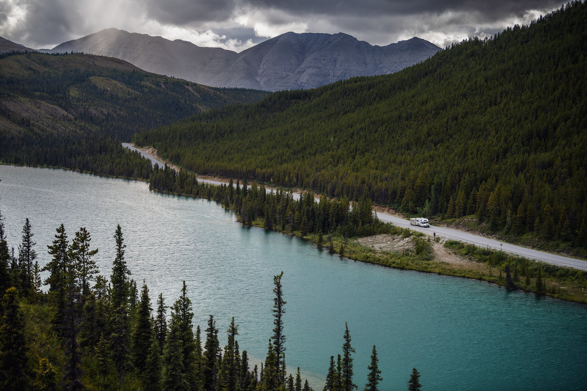 Summit Lake in Stone Mountain Provincial Park | Northern BC Tourism/Andrew Strain
-
-
Outdoor Adventures Along Route 16
Pack a sense of adventure and take a journey along Route 16 in Northern BC.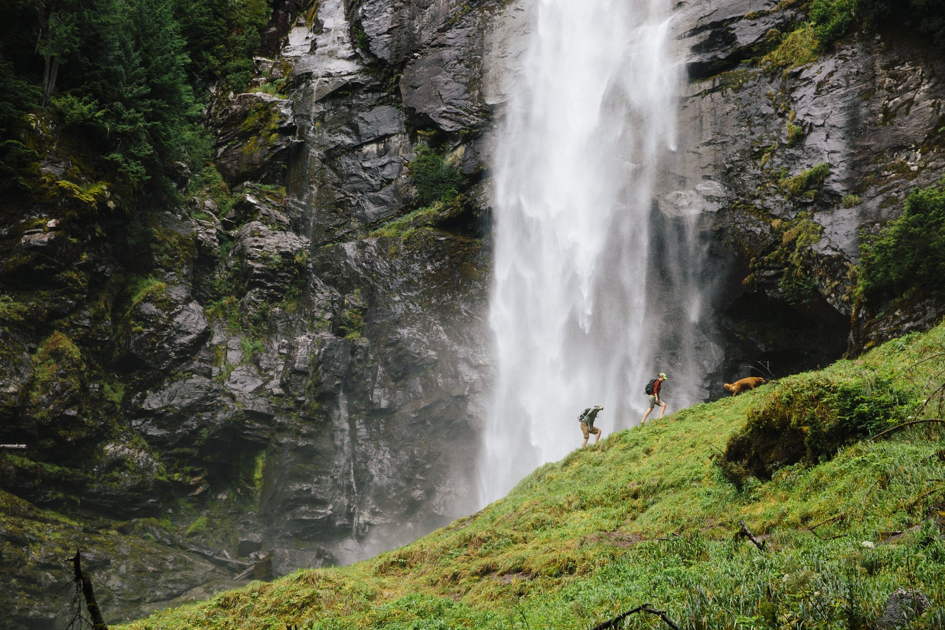
Other Road Trip Ideas
Travel Advisories
Find current information on alerts and/or evacuation orders, during emergencies in BC.
Plan Your Route
Check Drive BC for the latest information on road closures around the province.
BC Parks
Learn about hiking and biking trails, provincial campgrounds, park closures, and more.
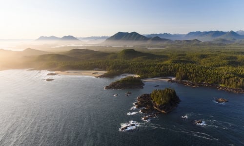
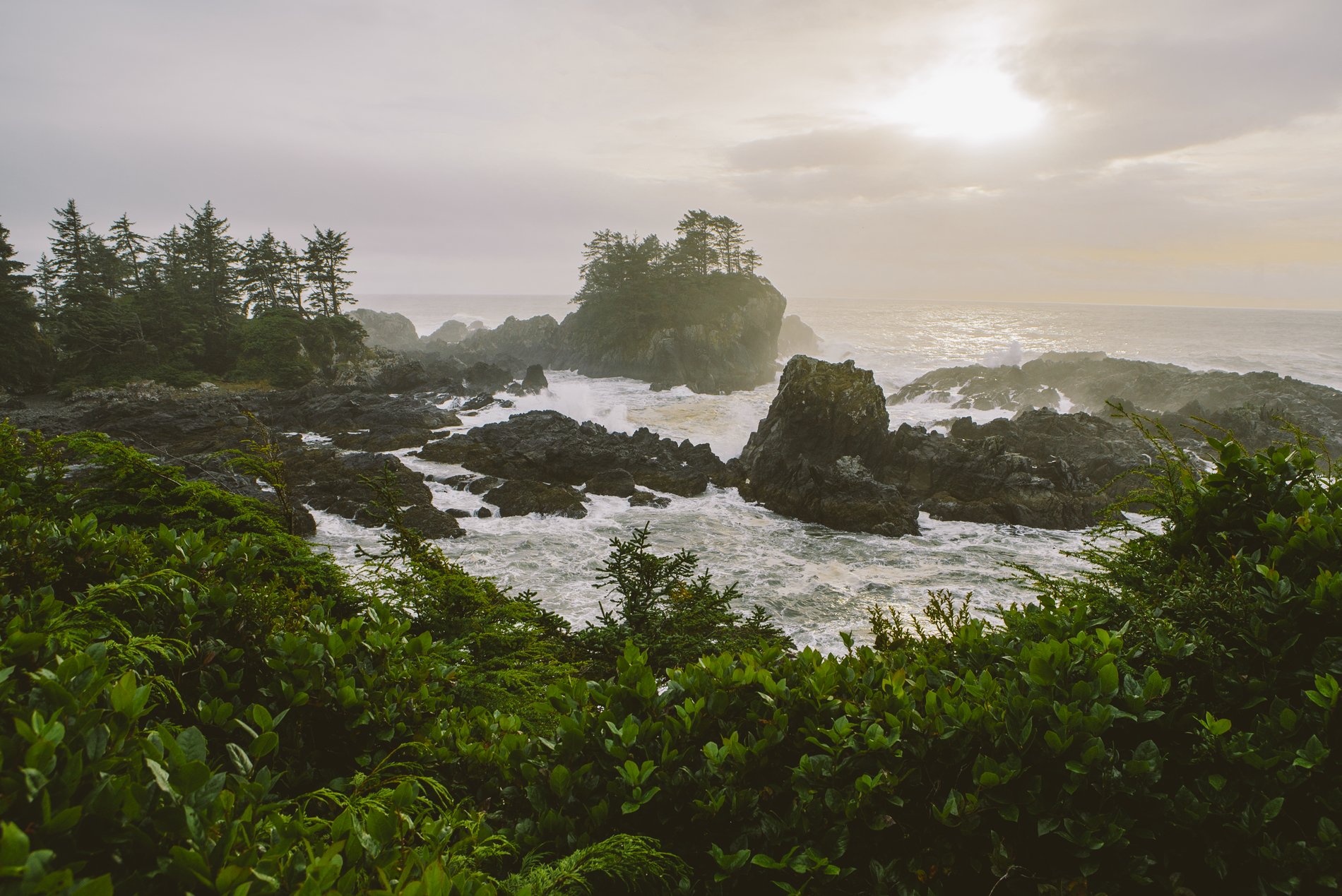
 Pacific Rim National Park | Abby Cooper