


By: Taryn Eyton | June 3, 2026
Birthplace of Adventure
10 must-do hikes in the Birthplace of Adventure
Whether you’re chasing waterfalls, tackling alpine hikes, or taking family-friendly walks around turquoise lakes, these 10 must-do hikes show why southeast British Columbia is known as the Birthplace of Adventure and one of the best places to hit the trail.
Why hike in the Birthplace of Adventure?
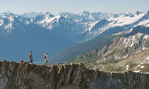
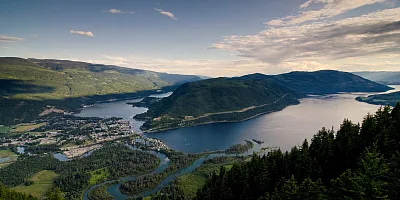
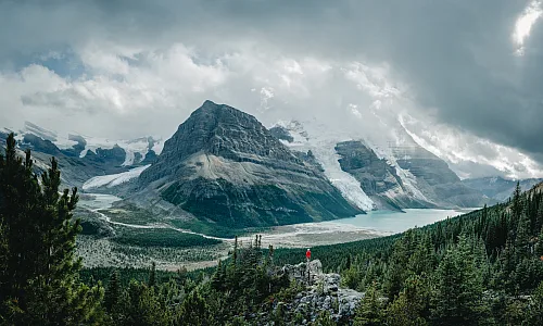
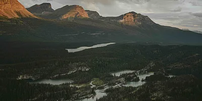
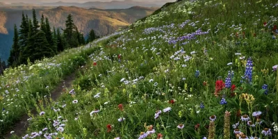
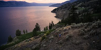
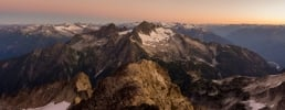
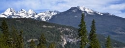
Known as the Birthplace of Adventure, the Kootenay Rockies area of British Columbia is a paradise for hikers seeking trails with epic alpine views. The region encompasses four mountain ranges (the Canadian Rockies, Purcells, Selkirks, and Monashees) and 60 provincial and national parks, making it an ideal destination for trails that lead to glaciers, mountain peaks, alpine lakes, and valley viewpoints.
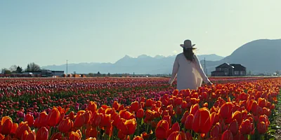
If you love spending time in the quaint, outdoorsy towns in the valleys between mountain ranges, you’ll love it here. After a tough hike, settle onto a patio for dinner with a mountain view, or browse the local farmers market to pick up snacks from local small-scale producers to fuel your next adventure.
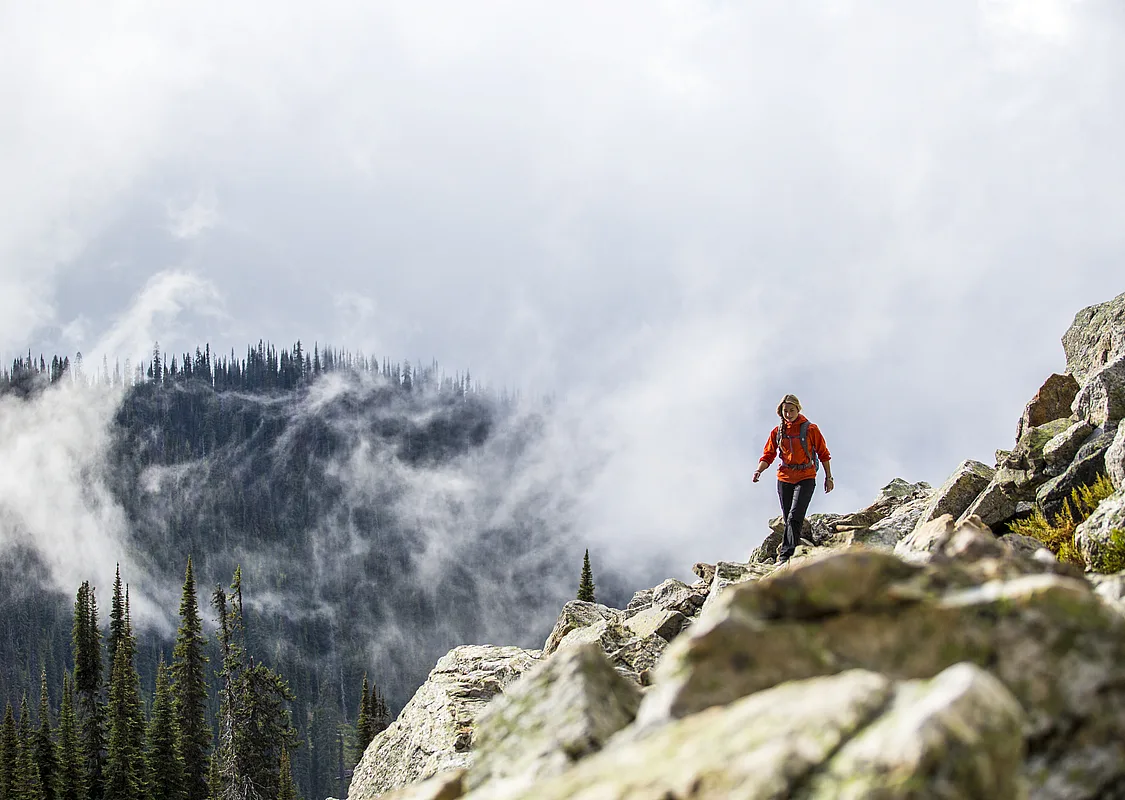
Easy hikes
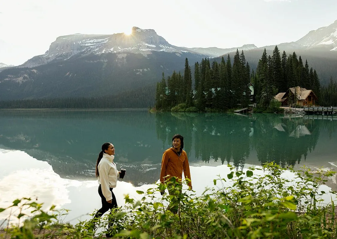 Emerald Lake, Yoho National Park | Abby Cooper
 Emerald Lake Loop, Yoho National Park, Field
Distance: 5.2 km loop
Elevation Gain: 30 m
Time Needed: 1.5 to 2 hours
The easy Emerald Lake Loop follows the shoreline in Yoho National Park near Field. The lake is a gorgeous green with reflections of the snow-capped mountains in the still waters. The loop takes longer than you’d think since you’ll want to stop every few minutes for photos. The gravel trail on the west side of the lake is flat, smooth, and wide, so the first part is stroller and wheelchair friendly. However, it gets narrower and bumpier on the east side, which you’ll have to tackle on foot. The trailhead is at the end of Emerald Lake Road, and parking is limited, so plan to arrive early in the day to get a spot.
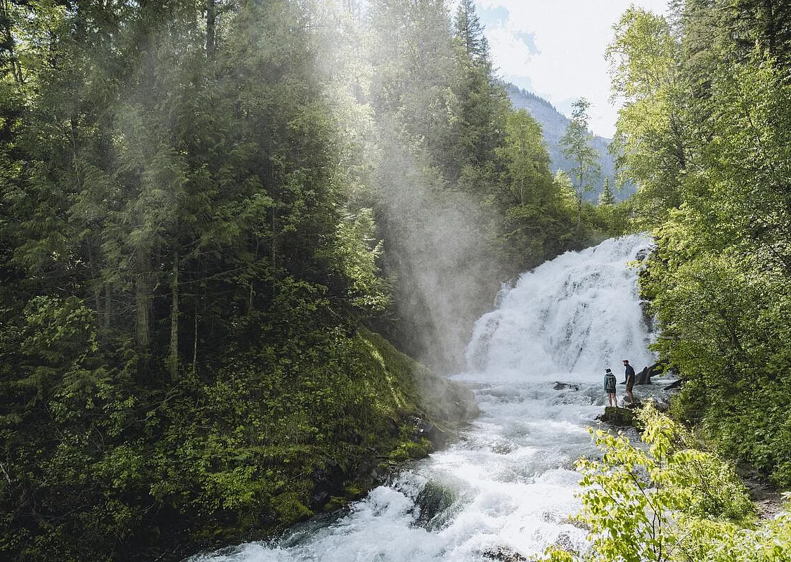 Fairy Creek Falls, Fernie | Field & Forest/KootenayRockies.com
 Fairy Creek Falls, Fernie
Distance: 4.6 km round trip
Elevation Gain: 115 m
Time Needed: 1.5 to 2 hours
Fairy Creek Falls in Fernie is a short hike to a cascading waterfall. The mist from the falls feels amazing on hot summer days, but for full flow, visit in the spring. The trail starts next to the Visitor Info Centre on Highway 3, then climbs through lush cottonwood forest to the falls.
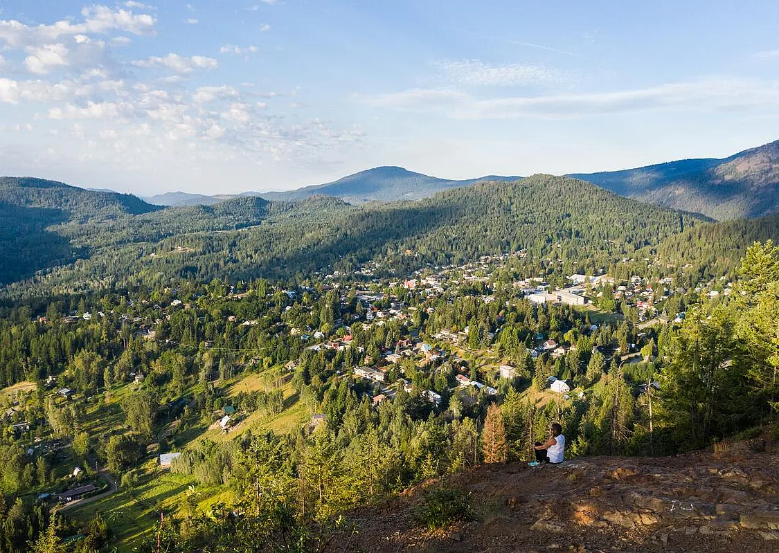 Kootenay Columbia summit, Rossland | Kootenay Rockies Tourism/Mitch Winton
 Kootenay Columbia Trail, Rossland
Distance: 4 km round trip
Elevation Gain: 125 m
Time Needed: 1 to 1.5 hours
Known as the KC Trail to locals, the Kootenay Columbia Trail is a short hike to a bluff with a great view of Rossland. The trail climbs up through a network of volunteer-maintained hiking and mountain biking trails—follow the “KC” markers to stay on track. At the top, pause to catch your breath and admire the view from two benches. The trail starts from a parking lot on Kirkup Avenue just off Highway 3B.
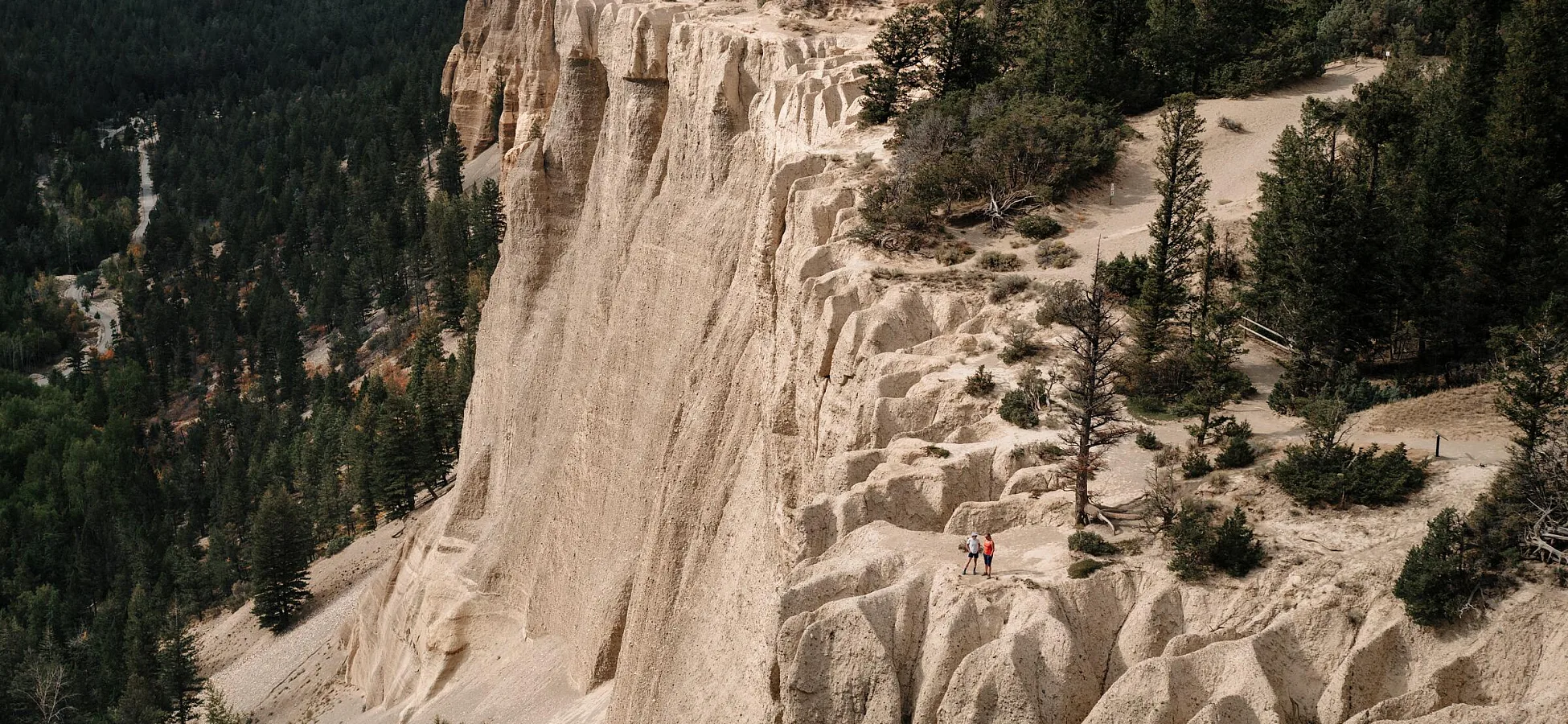
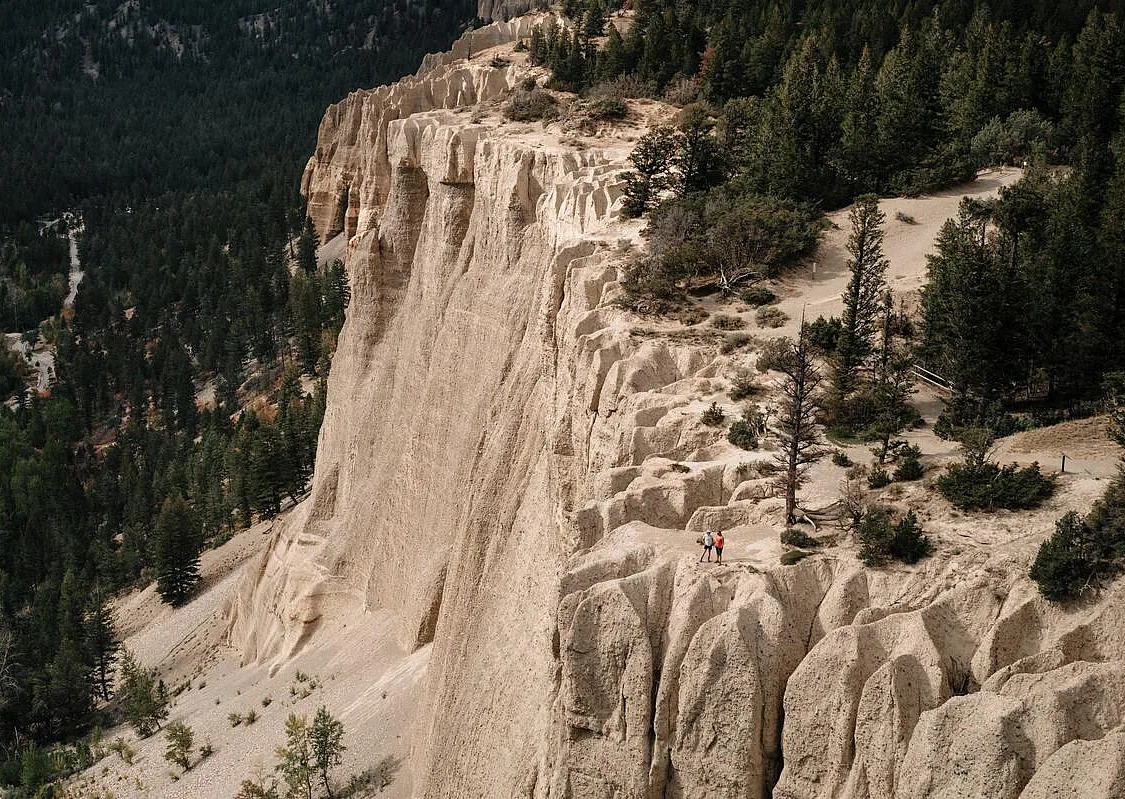 Hoodoos Trail, Fairmont Hot Springs | Kootenay Rockies Tourism/Mitch Winton
 Fairmont Kootenay Hoodoos, Fairmont Hot Springs
Distance: 3.2 km round trip
Elevation Gain: 126 m
Time Needed: 1 to 1.5 hours
Follow a short trail up to a beautiful viewpoint over the Columbia Valley on the Fairmont Kootenay Hoodoos Trail in Fairmont Hot Springs. The trail starts from a parking area on Westside Road, just a few minutes from Highway 93/95. The wide trail ascends through a pine forest to the top of the hoodoos. These eroding rock spires are made of cemented gravel, sand, and clay deposited by a glacier that filled the entire Columbia Valley over 10,000 years ago. Be sure to stay back from the edge since the hoodoos are always crumbling.
Moderate hikes
 Pulpit Rock Trail, Nelson | Dave Heath
 Pulpit Rock, Nelson
Distance: 3.6 km round trip
Elevation Gain: 338 m
Time Needed: 2 hours
The short and steep hike to Pulpit Rock is one of the most popular hikes in Nelson. The trail climbs steep switchbacks to a sweeping viewpoint above the Kootenay River. If you’re up for a more challenging hike, you can add an extra 2.2 km, 315 m of elevation gain, and 2 hours of hiking time by continuing uphill to the flagpole for even better views. The trail starts on Johnston Road, a few kilometres from the Nelson Bridge on Highway 3A.
Kokanee Lake, Kokanee Glacier Provincial Park, Nelson
Distance: 9 km round trip
Elevation Gain: 440 m
Time Needed: 4 to 5 hours
The Kokanee Lake Trail guides hikers into the heart of Kokanee Glacier Provincial Park near Nelson. Backpackers continue to Kaslo Lake, but day hikers can still enjoy the scenery by making the shorter trek to Kokanee Lake. The trail climbs past Gibson Lake into sub-alpine meadows with views of the surrounding peaks. Your turnaround point is the outlet of Kokanee Lake, where you can spend a memorable snack break watching ground squirrels and marmots scurry through the meadows. The trailhead is at the end of the 16-km-long steep and bumpy Kokanee Glacier Road, accessed via Highway 3A a few kilometres north of Nelson. It is usually accessible by two-wheel drive vehicles, but ask about current road conditions at the Visitor Centre before you go.
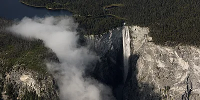
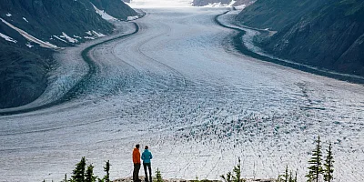
Stanley Glacier, Kootenay National Park, Radium Hot Springs
Distance: 10 km round trip
Elevation Gain: 450 m
Time Needed: 4 to 5 hours
The Stanley Glacier Trail is one of Kootenay National Park’s most popular hikes thanks to its spectacular glacier views. The trail climbs into a dramatic alpine basin where glacier meltwater pours down towering rock walls. Your turnaround point is the official viewpoint overlooking the cirque and the massive Stanley Glacier, but the scenery along the entire route is gorgeous. Keep an eye on the rocks beneath your feet–this area is known for its ancient fossils. To learn more, sign up for a guided Burgess Shale fossil hike with Parks Canada. Just remember to leave any fossils where you find them, because removing them from the park is prohibited.
 Mount Revelstoke National Park | Nathan Martin
 Eva Lake, Mount Revelstoke National Park, Revelstoke
Distance: 14.2 km round trip
Elevation Gain: 465 m elevation gain
Time Needed: 5 to 7 hours
The hike to Eva Lake takes in some of the best sub-alpine scenery in Mount Revelstoke National Park. Since the trail starts high on Mount Revelstoke thanks to a gorgeous drive on the 26-km-long Meadows in the Sky Parkway, the views of Lake Revelstoke and the Monashee Mountains start at the trailhead and continue as you traverse meadows and boulderfields on the way to the lake.
Challenging hikes
 Hermit Meadows, Glacier National Park | Ken Hagen
 Hermit Trail, Glacier National Park, Golden
Distance: 6.4 km round trip
Elevation Gain: 820 m
Time Needed: 4 to 5 hours
The Hermit Trail in Glacier National Park near Golden delivers spectacular scenery for those with the stamina to tackle this very steep hike. You’ll use rock stairs and a rope to help you over the trickiest bits. But the tough ascent is worth it for the precipitous views of Rogers Pass, the surrounding meadows, and the glaciers above you. Find the trailhead a few kilometres north of the Rogers Pass Discovery Centre on Highway 1.
Mount Stephen, Yoho National Park, Field
Distance: 8 km
Elevation Gain: 800 m
Time Needed: 7.5 hours
The guided Mount Stephen hike is one of the most exclusive adventures in the Canadian Rockies: the only way to visit these famous fossil beds is on a guided hike with Parks Canada, which you must book online in advance. The steep and challenging trail leads to the extraordinary Burgess Shale fossil site, where you can see 500-million-year-old trilobites and other ancient soft-bodied marine organisms in the rocks. Recognized as a UNESCO Heritage Site, it’s considered one of the oldest and best-preserved fossil sites on Earth. Your Parks Canada guide will bring the landscape to life with stories about the area’s geology and history. And in addition to the fossils, the trail also has sweeping views over the Kicking Horse River valley and the surrounding snow-capped peaks.
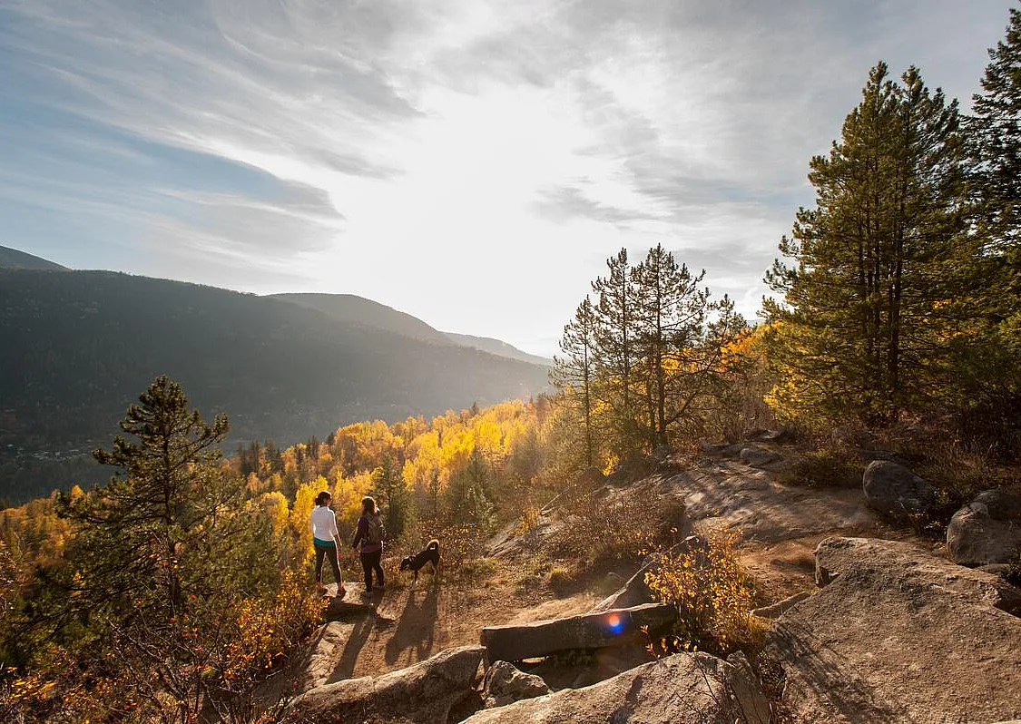
 Mount Revelstoke National Park | Ryan Creary
 FAQs
When is the best time to hike?
Summer and fall are the best times to hike in the Birthplace of Adventure since the trails will be snow-free. However, summer comes later in the high mountains: expect snow and ice on alpine trails until early to mid-July. While fall is also a great time to hike, it does come with chillier weather, so bundle up and plan for a bit of ice and snow up high.
How difficult are the hikes?
Like the hikes across the Birthplace of Adventure, the trails in this guide range from easy to challenging. On easy hikes, expect short distances and gentle climbs. As the difficulty ramps up from moderate to challenging, be ready for trickier footing, strenuous ascents, and adventures that last all day. If you’re new to alpine hikes, start with easier hikes before tackling more difficult ones—even the short hikes have fabulous mountain views.
What should I bring hiking, and how should I prepare?
Before heading out on a hike, research the trail to make sure the difficulty matches your skill level. Check the latest weather and trail conditions so you know what to expect. Always pack essential gear like food, water, extra clothing, a first aid kit, and a flashlight. It’s also important to leave a trip plan with a friend or family member that outlines where you’re going and when you expect to be back. For more hiking safety tips, check out AdventureSmart’s Three Ts: Trip Planning, Training, and Taking the Essentials.
 Kokanee Glacier Provincial Park | Kari Medig
 Do I need a park pass?
Provincial and regional parks are free to visit for the day, but in national parks, you will need to buy a park pass and display it on the dash of your vehicle. There are fees for overnight camping at most provincial, regional, and national park campgrounds.
How do I get to the trails?
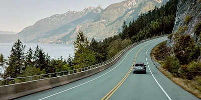
The remoteness of the Birthplace of Adventure is part of its appeal, so you will have to drive yourself to the trails. Public transportation in this region is infrequent and serves the towns, not the trails. Some trailheads are on gravel resource roads that can be steep and bumpy with many junctions. As well, some paved and gravel roads may not be open until the snow melts in early summer. Ask about road conditions and driving directions at local Visitor Centres before you go.
How can I stay safe in bear country?
You might encounter both black bears and grizzly bears while hiking in the Birthplace of Adventure. While bear sightings are common, negative encounters and attacks are very rare. To stay safe, hike in a group, keep your dog on a leash, always store food securely, and make noise so bears know you are nearby. Carry bear spray and know how to use it. If you encounter wildlife, keep a safe distance. For more tips, read BC Parks’ wildlife safety info.
How can I hike responsibly?
Hiking in southeast British Columbia means travelling through alpine terrain, wildlife habitat, and sensitive ecosystems. Stay on marked trails, pack out everything you bring in, and respect natural areas by minimizing your impact. For more responsible hiking advice, check out Leave No Trace Canada.
By travelling responsibly, you help protect the landscapes and experiences that make the Birthplace of Adventure unique.
Adventure Smart
Always check trail conditions before you head out, and no matter what outdoor activity you are planning, be prepared.
BC Parks
Learn about hiking and biking trails, provincial campgrounds, park closures, and more.
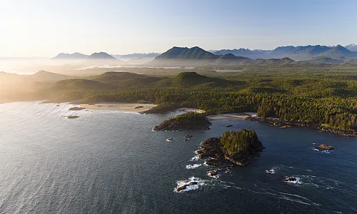
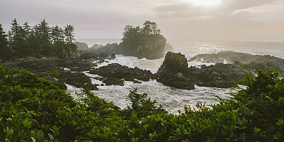
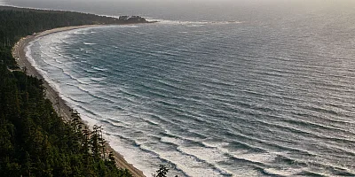
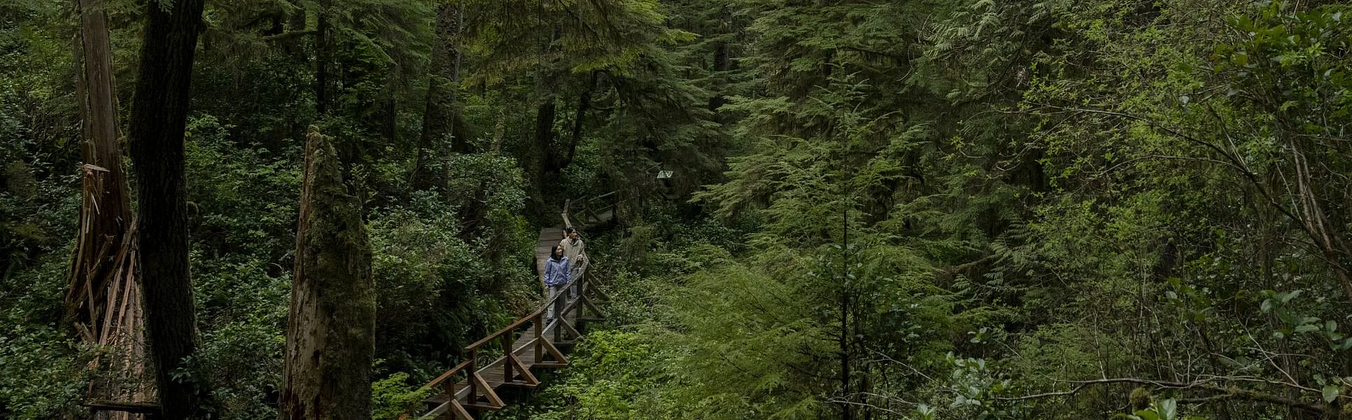 Pacific Rim National Park | Abby Cooper