
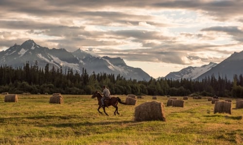


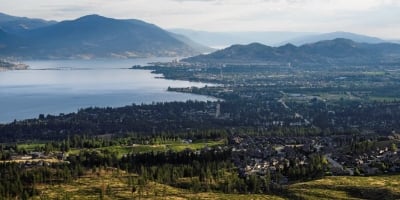


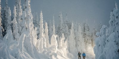
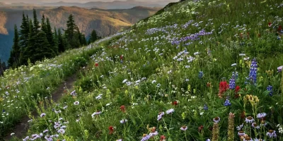


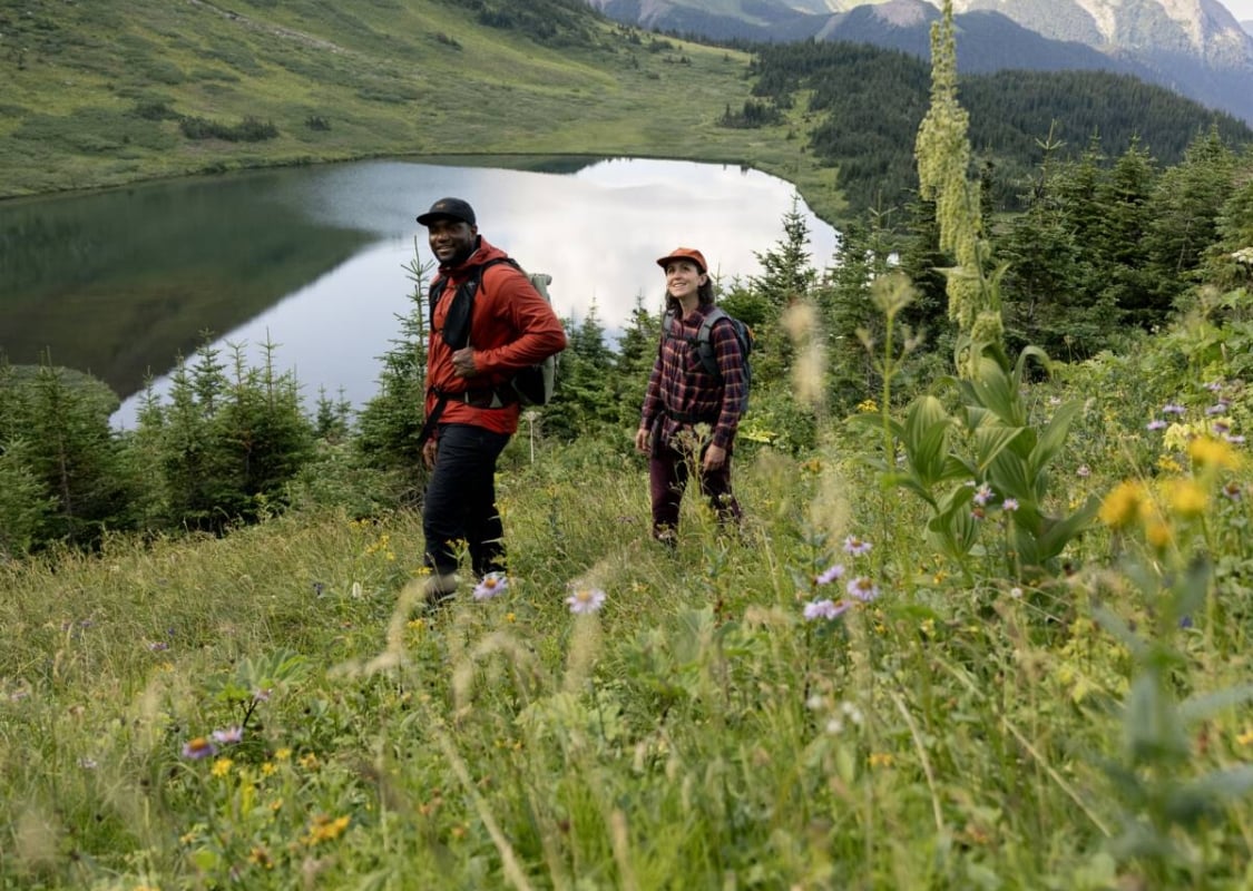
 Babine Mountains Provincial Park | Abby Cooper Babine Mountains Provincial Park | Abby Cooper
 Bucket List Hikes in The Great Wilderness
Written by: Julia Crawford
The best hikes are life-affirming expeditions that push us to new boundaries. Here in The Great Wilderness, these trails abound. Some challenge our sense of wayfinding and self-sufficiency. Others introduce us to unfamiliar climates and terrain. You’ll find hikes that last a week or just a few hours, but all of them take place against the region’s astonishing backdrops. For thrill-seeking mountaineers, there are volcanic ridges and shale slopes that will test your mettle. And for wildlife enthusiasts, game paths to follow where you can trek in the footsteps of bears and goats.
Whatever trail you choose to hike, you’re bound to discover both nature and beauty, a meaningful connection to nature, to one another and the living histories of Indigenous Peoples, and something about yourself, too.
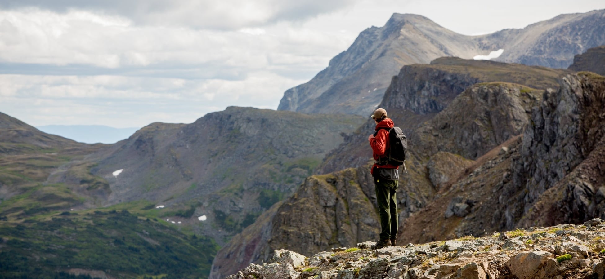
 Hoodoos line the gorge of Wokkpash Creek, in Stone Mountain Provincial Park, BC.
 Wokkpash Canyon, Northern Rockies
Indigenous Lands: Territory of the Treaty 8 First Nations
Distance: 83.5km (52 miles) Loop
Elevation Gain: 2,383m (7,818 feet)
Time needed: 5 to 7 days
Difficulty: Challenging
Trailhead: Off the Alaska Highway near km 645.25 at the Old Churchill Mine Road.
Tracing the backcountry streams and canyon walls of the Northern Rocky Mountains Park, this 83.5-kilometre (52-mile), week-long expedition takes you in view of interesting hoodoos, abundant wildlife, and rushing rivers. Most of the route is comprised of old mining roads, game trails, and dry creek beds, and though well-defined, the trail’s remote location and limited signage will test even the most experienced backpackers.
Hikers can access two different trailheads from the Alaska Highway, but most start at Wokkpash Creek, following the east side of Wokkpash Lake south in a U-shaped curve before pointing north along MacDonald Creek and ending among the rock columns of Baba Canyon. Here, your efforts are rewarded with the sight of hundreds of hoodoos—tall, thin granite spires caused by glacial erosion—that line the canyon walls. Along the way, hikers can access backcountry campsites and lakes. Day hikes are also available in the canyon, ranging from short one-kilometre (.62-mile) strolls to five-kilometre (three-mile) loops. Keep watch for wildlife—this area is home to abundant populations of bears, moose, caribou, and more. A word of caution: This hike is not for the inexperienced. It is remote and there are unpredictable river crossings. For this reason, travelling with an experienced local guide is recommended, as well as carrying satellite communications as there is no cell service in these parts.
Blue Lakes, Hazelton
Indigenous Lands: Territory of the Gitxsan Nation
Distance: 10km (6 miles) round trip
Elevation Gain: 536m (1,758 feet)
Time needed: 4 to 5 hours
Difficulty: Moderate to challenging
Trailhead: West of Smithers on Highway 16, 2.5 km past the Suskwa turnoff.
At first glance, it would be easy to mistake Blue Lake Trail in Hazelton for one of the glittering turquoise-hued lakes synonymous with the Rockies. The only difference? No crowds. If this alpine lake wasn’t tucked deep within The Great Wilderness, it would easily be one of the most popular hiking trails in the province. As such, your reward for venturing off the beaten path is a lonesome trek through the classically rugged Rouche de Boule Range and a photo-op that requires no clever editing. Sure, this nearly six-kilometre (3.7-mile) out-and-back trail requires a bit more effort than a roadside view—but aren’t all the best views earned? To get to the lake’s blue-tinged edge, you’ll first climb through a quiet forest over hills, creeks, and roots before cresting a narrow ridgeline marked by dense low-lying foliage and waterfalls. From here, you’ll get your first glimpse of the lake below—and the best opportunity to snap that coveted photo. The slow pitch down to its watery shores takes another hour, while a second, equally impressive lake lies another 45 minutes beyond.
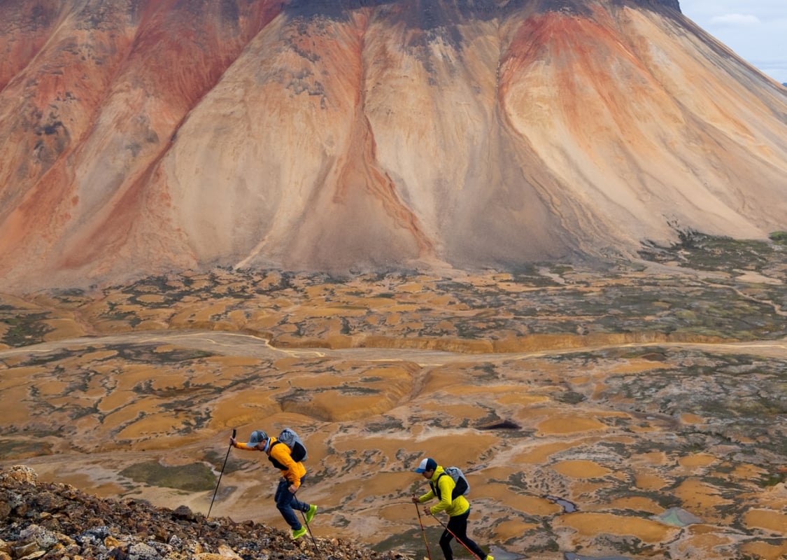 Hikers / trail runners in the Spectrum Range, Mount Edziza Provincial Park.
 Mount Edziza Park, Dease Lake
Indigenous Lands: Territory of the Tahltan Nation
Distance: 75km (46.6 miles) one way
Elevation Gain: Between 1,800m to 2,400m (5,906 feet to 7,874 feet)
Time needed: 7 to 10 days
Difficulty: Challenging
Trailhead: Floatplane access only.
When it comes to thru-hikes, Mt. Edziza Park remains somewhat of a hidden gem—a quiet whisper among more well-known routes. But that’s half of its allure. Set amid a barren, volcanic-ringed landscape in the remote Tahltan Highlands, this 75-kilometre (46.6-mile) gritty slog offers an adventure like no other.
Despite the park’s sheer size—230,000 hectares (568,000 acres)—the Buckley Lake to Mowdade Lake thru-hike is only one of a handful of marked trails and your best bet for taking in the area’s diverse terrain. Spanning a week, it runs from the park’s northwestern tip to its southeastern edge across windswept craters, fields of cinder cone, gentle creeks, soft peat meadows, and river valleys. But its most famous landmark is the striking Spectrum Range, a multi-hued composite volcano whose colourful slopes are painted in brilliant streaks of rust, tan, orange, and purple. Access to the park is by air only, and while you can hike the route in either direction, going north to south helps you avoid a difficult climb up Chakima Valley.
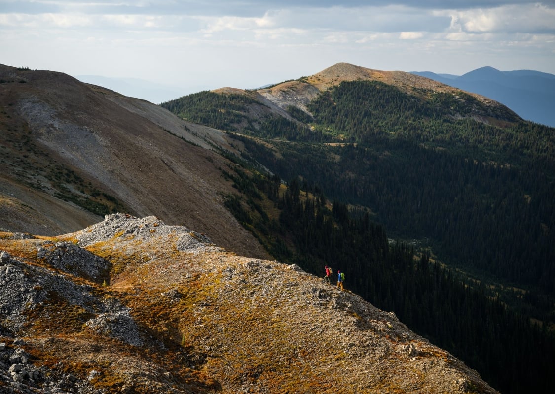 Hiking the Raven Lake trail in Sugarbowl-Grizzly Den Provincial Park near Prince George.
 Grizzly Den Trail, Prince George
Indigenous Lands: Territory of the Lheidli T’enneh First Nation
Distance: 12km (7.5 miles) round trip
Elevation Gain: 705m (2,312 feet)
Time needed: 5 to 6 hours
Difficulty: Moderate to challenging
Trailhead: East of Prince George along Highway 16 at Hungary Creek.
This moderately challenging trail may not require the same time or effort of others on this list, but it’s no less scenic. A quintessential backcountry hike, Grizzly Den Trail unfolds over 12 kilometres (7.5 miles) through the charming meadows, serene lakes, and hemlock-and-cedar forests of Sugarbowl-Grizzly Den Park. Hikers can break up the route by staying overnight at one of two backcountry cabins: 8-Mile and Grizzly Den (note: Be sure to check with the Prince George Backcountry Recreation Society for availability). Timber clad and equipped with wood stoves, outhouses, drying racks, food caches, and sleeping bunks, these cabins are welcome rest stops—especially on a drizzly summer day. Another way to extend your hike? Connect to the Raven Lake Trail and Tumuch Trail systems and you’ll easily double your mileage. Hikers should be bear aware—the park is home to plenty of grizzly bears (hence the name), along with an important caribou corridor.
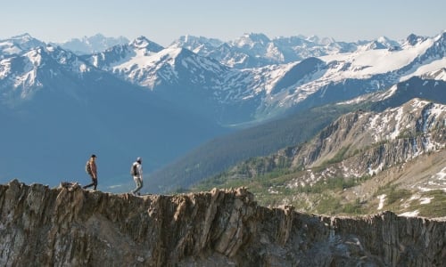
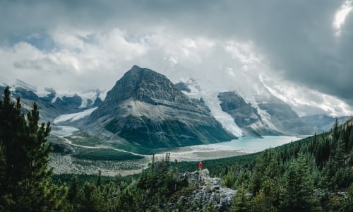
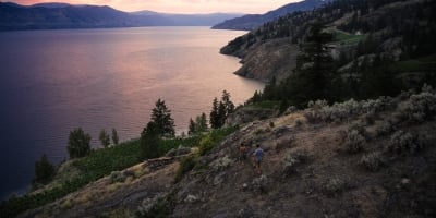
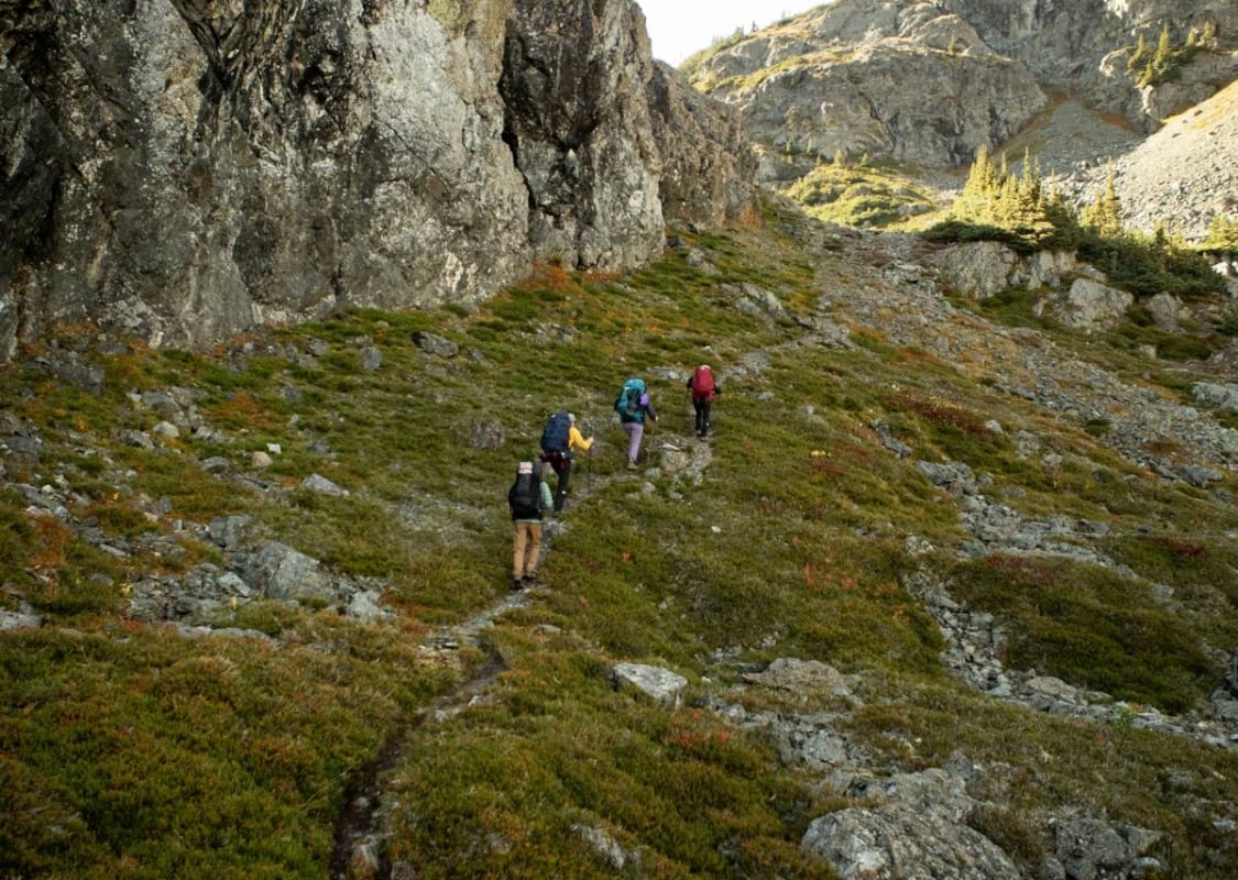 Hikers are exploring the Cronin Pass in the Babine Provincial Park, Smithers.
 Cronin Pass, Smithers
Indigenous Lands: Territory of the Wet’suwet’en First Nation and Ned’u’ten (Babine Lake First Nation)
Distance: 26km (16 miles) one way
Elevation Gain: 1,000m (3,280 feet)
Time needed: 9.5 to 11 hours
Difficulty: Moderate to challenging
Trailhead: Turn onto Babine Lake Road, 4 km east of Smithers off Highway 16. Then turn onto Upper Fulton (3000) Forest Service Road and 312 Road.
This backcountry route stitches together three different trail segments—Cronin Trail, Hyland Pass Trail, and the Silver King Basin Trail—to form one long 26-kilometre (16-mile) thru-hike in Babine Mountains Park near Smithers. What starts as a demanding march along an old mining road eventually transitions into a technical single-track trail through the alpine. From the 312 Road trailhead, you’ll hike southwest, climbing over 1,000 metres (3,280 feet) in elevation before cresting Hyland Pass, a narrow goat path that links the craggy faces of Mount Cronin and Mount Hyland. Next, you’ll scramble over boulders and scree as you begin a steep technical descent into the picturesque Silver King Basin where the Joe L’orsa cabin waits. You can easily pass a few hours at the cabin, resting your sore feet or gently wandering among the alpine flowers and soft creeks—just make sure to leave enough daylight (if you’re not staying overnight) to tackle the trail’s remaining eight kilometres (five miles).
 Hiking near Terrace.
 Sleeping Beauty Mountain, Terrace
Indigenous Lands: Territory of the Ts‘msyen Nation
Distance: 12 km (7.46 miles) round trip
Elevation Gain: 956m (3,136 feet)
Time needed: 5.5 to 6 hours
Difficulty:Challenging
Trailhead: Take the West Kalum Forest Service Road (FSR) and park near the information sign 1.2 km from the trailhead at Sleeping Beauty Park.
At six kilometres (three miles) in length and just 30-minutes from downtown Terrace, Sleeping Beauty Mountain, located in Sleeping Beauty Park is one of the region’s more accessible hikes. It’s ideal for not only the time-crunched, but fans of big vistas, alpine meadows, and glassy lakes. Though short, the route is steep, passing first through second-growth forest, berry bushes, and small ponds before getting progressively more challenging over switchbacks that climb to alpine meadows. Once you’ve topped out at the last switchback, the route eases, levelling out through an open field with viewpoints that overlook Terrace, Kitsumkalum Lake, and the snow-ringed peaks of the Coast Mountain Range.
 Hiking to Windfall Lake in Tumbler Ridge
 Windfall Lake, Tumbler Ridge
Indigenous Lands: Territory of the Treaty 8 First Nations
Distance: 9.8km (6 miles) round trip
Elevation Gain: 406m (1,332 feet)
Time needed: 5 to 7 hours
Difficulty: Moderate to challenging
Trailhead: Drive north from Tumbler Ridge towards Chetwynd on Highway 29 to the turnoff for the former Bullmoose Mine before turning onto the Windfall Creek Forest Service Road.
The ancient glacial activity in Tumbler Ridge left its scar on the surrounding landscape, forming bleak mountains, preserving fossils and dinosaur trackways, and—in the case of Windfall Lake—carving a bowl-shaped depression in a mountain valley. Nestled in a cirque below the treeline, this lake may be the trail’s star attraction, though hikers are treated to more than just its nice views. The first part of this 10-kilometre (six-mile), out-and-back hike is an easy walk over boardwalk and forest floor. Quickly, it begins a sharp ascent over challenging terrain that includes creek crossings, loose shale slopes, and tangled underbrush. As you reach the ridge, you’ll look down over a sweeping valley encircled by mountains. Here, if you’re lucky, you can even find marine fossils (fish and sea shells) at elevation. You can choose to hike out the same way, venture further into the alpine and onto higher peaks, or take the circular route back, which takes you through unique karst topography.
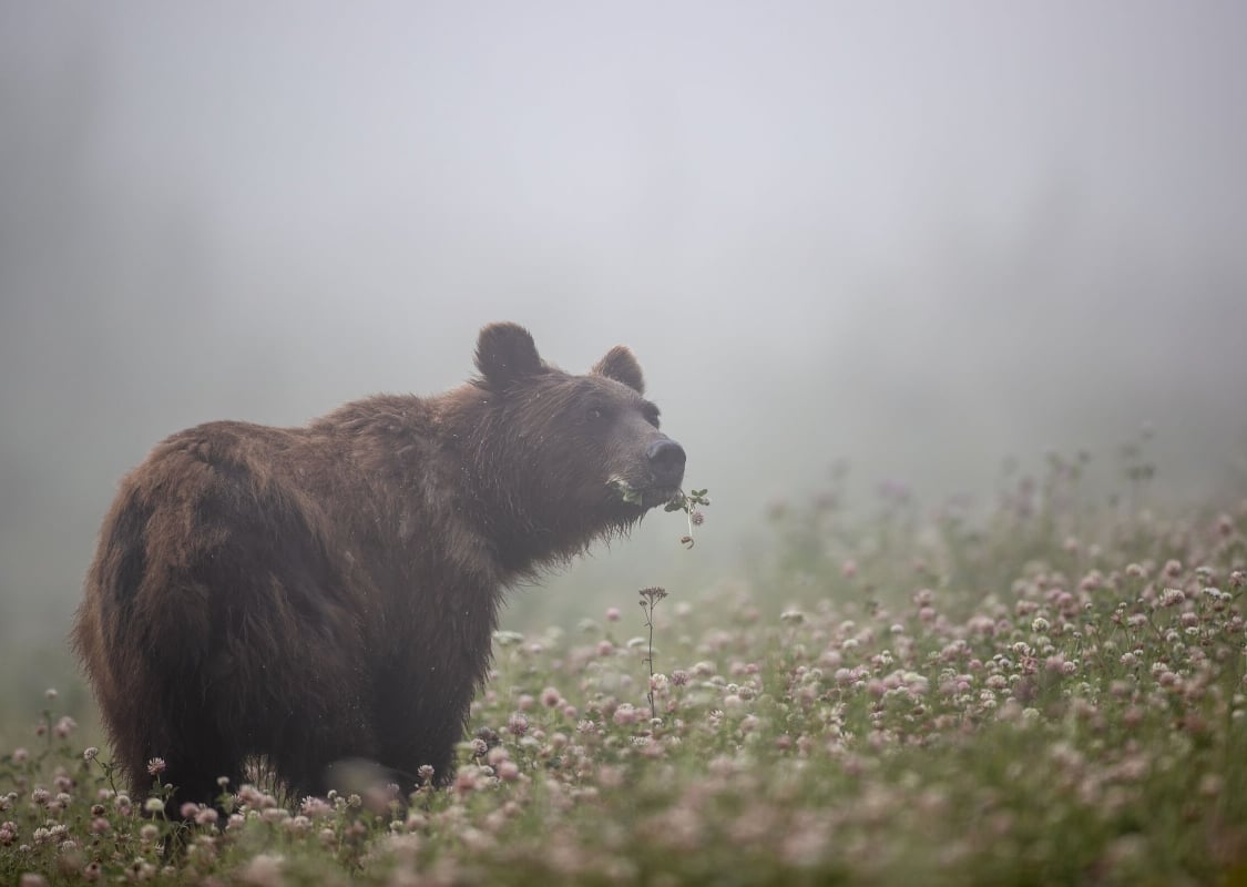 Grizzly Bear in walking at Muncho Lake Provincial Park.
 Preparing for a Hike In The Great Wilderness
When visiting The Great Wilderness, please practice Leave No Trace principles; pack out what you pack in and stay on designated trails. Respect the terrain (and your fellow visitors) by planning ahead. Be AdventureSmart and make it a regular habit to make a trip plan, have the proper training, and take the essentials. This includes checking weather conditions often and making sure you bring essential gear.
Stay Bear Aware so you can help reduce conflict with these majestic creatures. The Great Wilderness is bear country, so consider bringing bear spray and know how to use it. Visiting in hot, dry weather? Be Fire Smart. Wildfires cause devastating impacts for people and place. Do your part to help protect and preserve these incredible lands for future generations.
How to get to The Great Wilderness
The scale of The Great Wilderness can sometimes be hard to grasp. There are several gateways into these awe-inspiring lands. Starting on the west coast of British Columbia, Prince Rupert is a Pacific Ocean port city accessible by both highway and BC Ferries. From here, you can travel north towards the Yukon and Alaska borders, or east towards the town of Terrace and northwestern BC. Farther inland, the outdoor-oriented city of Prince George is a prime base camp to the north, connecting to both Stewart-Cassiar Highway and Route 16. Those travelling into the Northern Rockies or to Tumbler Ridge can begin their trip in Dawson Creek (Mile 0 of the Alaska Highway), or further north in Fort St. John with frequent flights into the North Peace Regional Airport.
Beyond the map in the Great Wilderness: a deeper connection to land and life
The Great Wilderness is a vast expanse with the power to connect us to land and life on a deep and meaningful scale.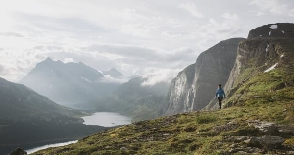
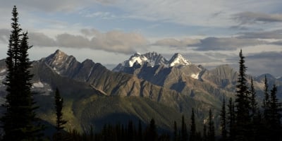
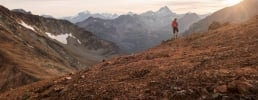
Geological Wonders of The Great Wilderness
These awe-inspiring landscapes are more than fascinating natural wonders. They hold wisdom that helps us find our place in the world.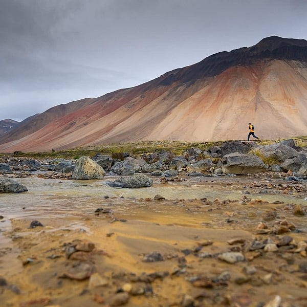 Mount Edziza Provincial Park | Angela Percival
 Five places in the Great Wilderness that make you feel small
See the world (and ourselves) differently in these majestic lands and waters that make up more than half of British Columbia.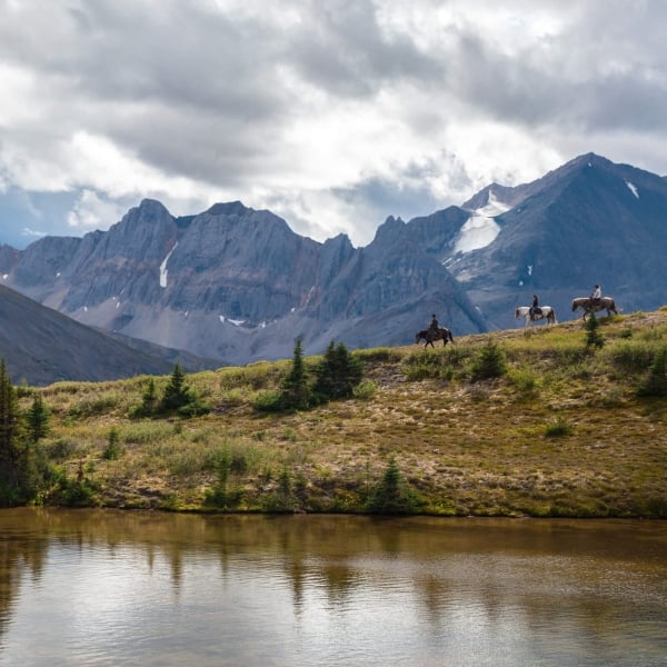 Horseback Riding with Muskwa-Kechika Adventures in Dune Za Keyih Provincial Park in the Stikine Region
 Great Northern Circle Route
10+ Days3189 km | 1981 miTravel through the vast nature of Northern BC, part of The Great Wilderness.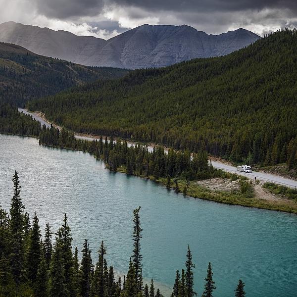 Stone Mountain Provincial Park | Northern BC Tourism/Andrew Strain
 Northern BC Route 16
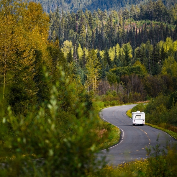
7-14 Days1006 km | 625 miA soul-stirring odyssey that stretches from the Pacific Ocean to the Canadian Rockies across some of the grandest scenery in British Columbia.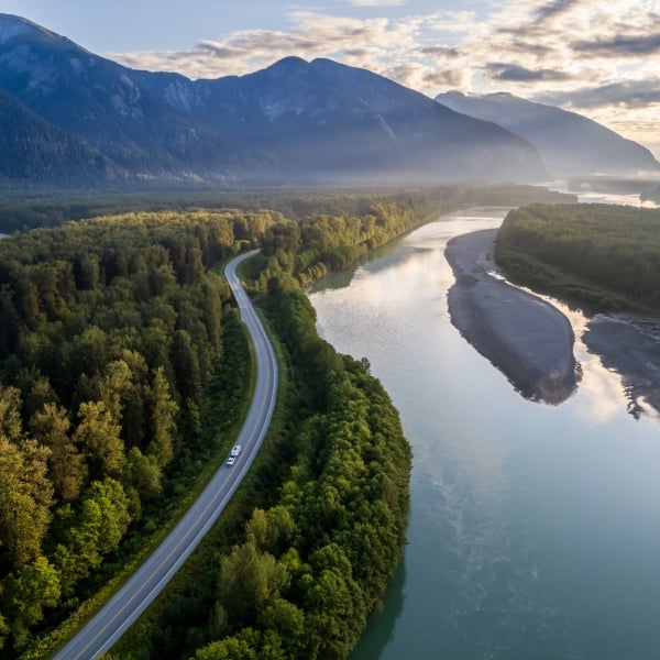 RV driving from Terrace to Prince Rupert on Highway 16, along the Skeena River. | Andrew Strain
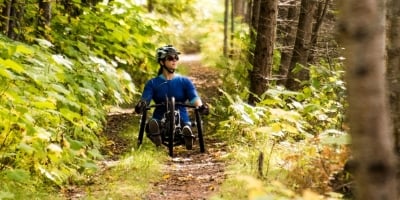
 Mountain Biking in The Great Wilderness
The mountain biking trails in The Great Wilderness punctuate the immensity of the surrounding environment.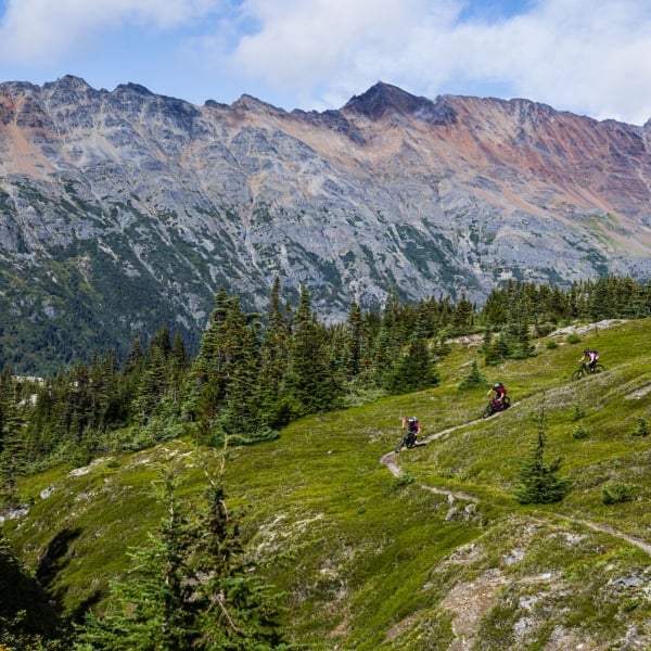 Mountain biking in the alpine above Terrace. | Northern BC Tourism/Mattias Fredriksson
STORIES FOR THE ADVENTUROUS SPIRIT
Travel Advisories
Find current information on alerts and/or evacuation orders, during emergencies in BC.
Adventure Smart
Always check trail conditions before you head out, and no matter what outdoor activity you are planning, be prepared.
Plan Your Route
Check Drive BC for the latest information on road closures around the province.
Travel Responsibly
Follow these tips to travel safely and responsibly in BC this season.
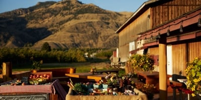
Places to Stay
Discover everything from luxury hotels and B&Bs to wilderness lodges and campsites.
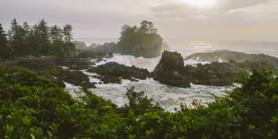
 Pacific Rim National Park | Abby Cooper