
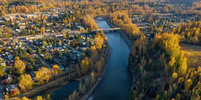
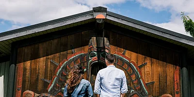
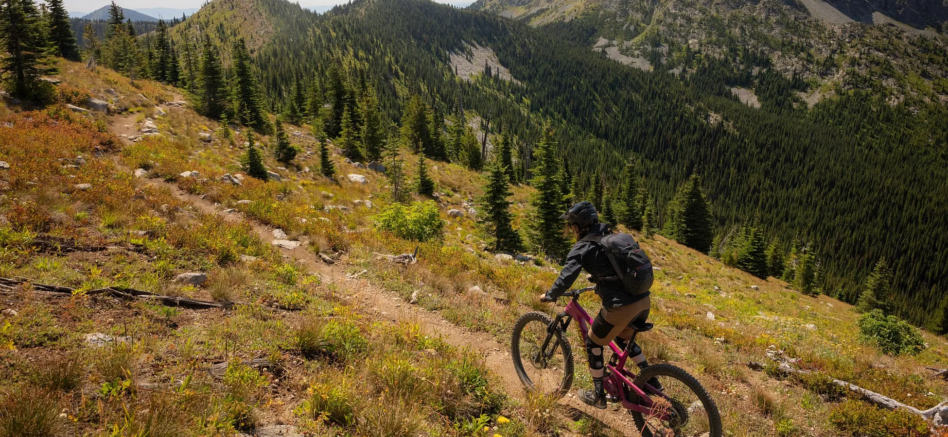
 Rossland | Tourism Rossland/Ollie Jones
 By: Matt Coté | August 20, 2026
Rossland | Tourism Rossland/Ollie Jones Birthplace of Adventure
Eight great mountain bike destinations
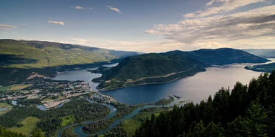
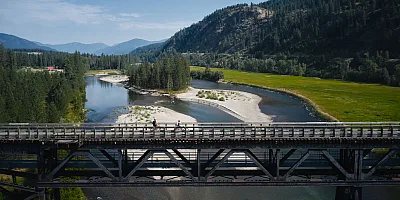
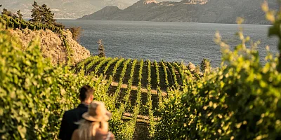
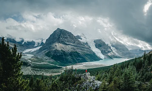
Spread throughout an expansive wilderness made up of four distinct mountain ranges, and divided by continent-splitting rivers, the Birthplace of Adventure is the heart of BC’s mountain bike country. While Vancouver’s North Shore invented the skinny, and the dusty dunes of Kamloops inspired the first forms of freeride, Southeastern BC’s more remote trail systems evolved in a broader diversity of elevations and forest types whose hallmark is natural flow.
The dirt here is titillatingly different from town to town, with each network’s distinct trail features a reflection of its own topography and environment. A riding trip to the Kootenay Rockies region sheds the bustle of the beaten track for bike parks without lift lines, alpine rides that trace the soaring skyline, loamy descents in the fetch of old growth, and sprawling ribbons of gold through mountain-capped grasslands.
Whether you have three days or three weeks, it’s a supernaturally easy place to find your flow. Here are the must-do rides.
Fernie: Swine Flu, Project 9, Hyper Ventilation/Hyperextension
Trail Rating: Blue, black, black, blue
Length: 48 km (30 mi) total
Season: May to November
Parking: Mount Proctor trailhead
Planted in the very southeastern corner of the province, Fernie is one of the most densely packed riding destinations there is. Its 388 trails encompass everything from rocky, old-school tech, to temperate loam, exquisite modern flow, and harrowingly steep descents. As such, it’s hard to pinpoint just one trail as the marquee ride. But the Fernie Brewing Company has done a good job with its triple crown Trail to Ale Challenge™. Ride all three trails in one day to tick off the most coveted all-mountain classics, and to rightfully deserve a hardy dinner.
The Hyper Ventilation climb is touted as one of the most technical in the province, rewarding with a swooping blue singletrack descent on Hyperextension. Swine Flu, despite its ominous name, offers an easier climb to a much beloved, rooty, downhill (DH) singletrack. And Project 9? Well, that’s one of the fastest moderate descent trails anywhere—replete with small drops, sniper natural gaps, and good, old-fashioned trenchy traction.
For the complete experience, add a day at Fernie Alpine Resort’s bike park, which uses two lifts to deliver another 148 km (96 mi) of pure DH riding. Unlike most machine-built parks, this one prioritizes natural-style singletrack. While there are trails for all levels, the black and double-black riding really shines here.
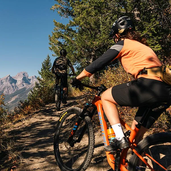 Hyperventilation, Hyperextension trails, Fernie | Tourism Fernie/Nick Nault
 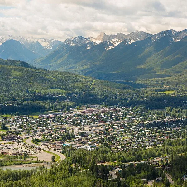 View from Swine Flu trail, Fernie | Tourism Fernie/Vince Mo
 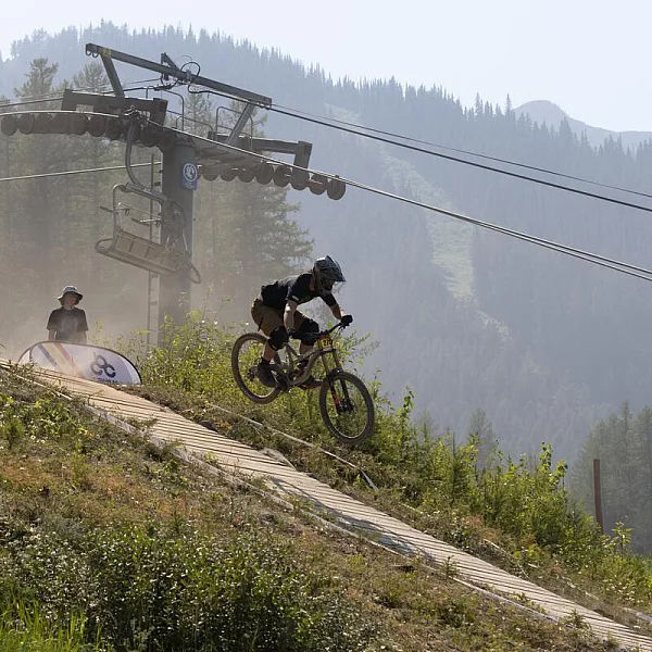 Fernie Alpine Resort | Tourism Fernie/Vince Mo
 Cranbrook: Padawan
Trail Rating: Green
Length: 4.3 km, 2.7 mi
Season: May to November
Parking: Cranbrook Community Forest Trailhead
A purpose-built, adaptive flow trail designed for riders of all abilities. Padawan makes a complete loop through the Cranbrook Community Forest. Find it just on the edge of the stately brick-clad town of 27,000—the largest city in the East Kootenay. It weaves at gentle grades through amber pastures interspersed by stands of lodgepole pine and spruce: classic ranching country. The packed sandy trailbed serves as an easy-access interpretive tour of the native ecosystem, where the sweeping meadows of the Rocky Mountain Trench are flanked on one side by the Canadian Rockies and on the other by the Purcell Mountains.
The Star Wars reference in the trail name runs through the network and carries on in the 4.4 km (2.7 mi) R2DTour, a blue cross-country (XC) loop available from the same trailhead with similar views, and a touch more challenge. It’s an apt add-on for anybody looking to extend their ride.
Kimberley: Pinch and Roll
Trail Rating: Black
Length: 4 km (2.5 mi) (combining upper and lower)
Season: May to October
Parking: Bootleg Trails Parking Lot
Bootleg Mountain is fast becoming the centre of Kimberley’s riding renaissance, where a new wave of adventure-focused locals has built out a raft of modern enduro-style riding. Ride the nearly effortless 8.1 km (5 mi) Bootleg Climb Trail to its terminus, where you can either dip right into Pinch and Roll or tack on Atlas Shrugged above it (you can also shuttle). Upper Pinch and Roll is a classic DH singletrack with impressive rock features and a Velcro-like packed trailbed. The lower section offers jumps and gaps that are worth a look at before sending them blind, but are silky smooth once you get them. This is one of those tracks you hit repeat on, and where e-bikers will be extra well-served.
Kimberley itself is just east of Bootleg, and full of dining and accommodation options. Over the last 10 years, the little burrow of 8,000 has become an enclave of digital nomads and modern families seeking top-notch amenities away from the bustle of more mainstream resort towns. It’s the kind of quizzical setting where elks roam the outskirts of town, yet you can still sit in a hipster brew hub after every ride.
Invermere: Hopeful
Trail Rating: Black
Length: 23 km (14 mi)
Season: July to September
Parking: Panorama Mountain Resort
There are only a few places in BC where you can ride alpine ridgelines as part of a pedal-accessed enduro loop from the local bike park. Whistler’s Top of The World might be top of mind in this category, but the Hopeful circuit from Panorama Mountain Resort is equally one the province’s most marquee alpine rides. Even Remy Métailler has called it out.
From the top of the Mile 1 Express, follow Summit Access signs before following the purpose-built climb trail to the summit. The shale-y ridgeback passes summer snow and sweeping views of the Rocky Mountains before dipping back into the subalpine to arrive at an old trapper’s cabin. This is where Hopeful starts to swoop at unbelievable speeds through neon-green understory and lodgepole forest before spitting you back out in the bike park, nearly 1,000 m (3,300 ft) below.
You can buy a single-ride lift ticket, or tack on Hopeful as part of a bigger day in Panorama’s otherwise ample park, just 20 minutes from Invermere.
Golden: Canyon Creek
Trail Rating: Blue
Length: 18.5 km (11.5 mi) (loop)
Season: May to November
Parking: Cedar Lake trailhead
Canyon Creek Canyon Creek parallels the rim of a long, sandy gulch with hoodoos spilling into the chasm below, high above the town of Golden. The downhill-primary trail is packed to perfection and allows incredible speeds—it’s genuinely hard to slow down enough to take in the view. The diamond peaks of the Purcell Mountains jut directly above while you snake your way back down to the hamlet of Nicholson, where you’ll meet the Columbia River.
There’s an option to skip the last part of the descent and pedal back to your car via the Moonrakers network for an easier loop: Klahowya is the fastest way. Canyon Creek is on the edge of the network, so study the map. Those looking to tack it onto an even more epic descent can climb to LSD first for a steep, natural black singletrack amongst a rare swathe of cedars.
The peaks above also host Kicking Horse Mountain Resort’s towering bike park, with 1,127 m (3,700 ft) of vertical drop. Its gondola will deliver you to the most ruggedly alpine bike park in BC, with shale slopes leading into 35 km (22 mi) of forested trails below. While they’re suited for every rider level—just be warned, the laps are long!
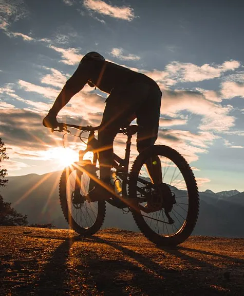 Golden | Andrew Chad
 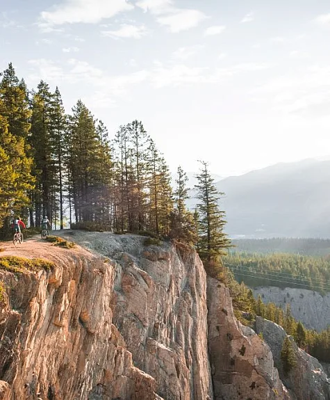 Golden | Andrew Chad
 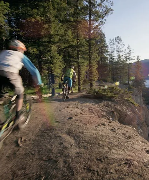 Golden | Kalum Ko
 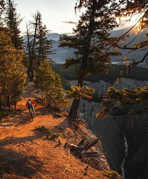 Canyon Creek, Golden | Golden | Andrew Chad
 Revelstoke: Frisby Ridge
Trail Rating: Blue
Length: 12 km (7.5 mi) (with extensions available)
Season: July 15 to mid-September
Parking: Frisby Ridge Trailhead
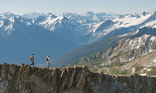
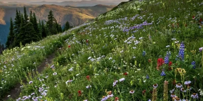
Famously flowy and impeccably designed, Revelstoke’s Frisby Ridge is a wildflower-laden alpine trail that follows the high country at super easy grades. The low-angle climb is only mildly technical in a few places, with rock-cap features throughout. Emerging out of the subalpine reveals views of the glacier-clad Monashee Mountains to the east, and the equally vivid Selkirks to the west.
It’s a contender for the best alpine ride in the province—all uphill in one direction, and entirely downhill in the other. That’s almost 12 straight km (7.5 mi) of descending from the high point, all of it swoopy and supported enough to barely have to touch your brakes. The ambitious can tack on the Vistas extension for another 5.7 km (3.5 mi) of ridge riding, as well as dip into classic DH trails from the parking lot.
Those looking to log even more vertical can jump in the gondola at the Revelstoke Mountain Resort bike park, which offers up to 1,713 m (5,620 ft) of vertical drop on one of the world’s longest flow trails: aptly called 5620. The Stoke Climb is a fairly unique offering for riders interested in pedaling up to the alpine, and is an easy treat for e-bikers.
Arrow Slocan: Mount Abriel
Trail Rating: Green, Blue, Black, Double Black
Length: 69 km (43 mi) total for the network
Season: May to October
Parking: Two day-use lots on Adams road and one on Highway 23 South
So new that even locals are still discovering it, Mount Abriel is an entire purpose-built riding network spilling directly onto the shimmering beaches of Slocan Lake. Established and maintained by the Nakusp and Area Bike Society, there’s a large, forested campground, a pump track, dirt jumps, adaptive trails, and a slew of green trails criss-crossing camp. It’s a particularly great amenity for families.
With 63 total trails and counting, quick loops below the highway are available on modern jump trails like Rollaids, or easy-going blues like Dusty Panther. Cross the highway, and the exceptional climb trail rises 1,150 m (3,775 ft) up from the lake. From here you can cruise winding blues like Ride On, or dive into black tech like Tropic Thunder, with double-black jump lines available, too. Imagine Whistler if it was pedal-accessed, and you get the picture. E-bikers do really well here.
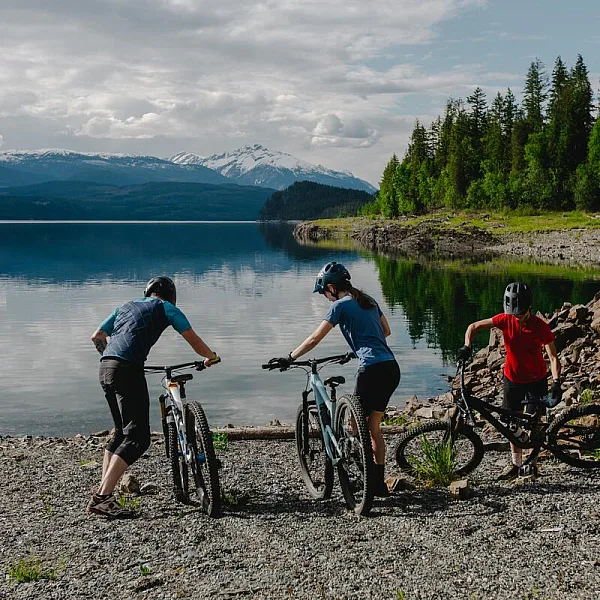 Mount Abriel, Nakusp | Arrow Slocan Tourism/Tamarack Media
 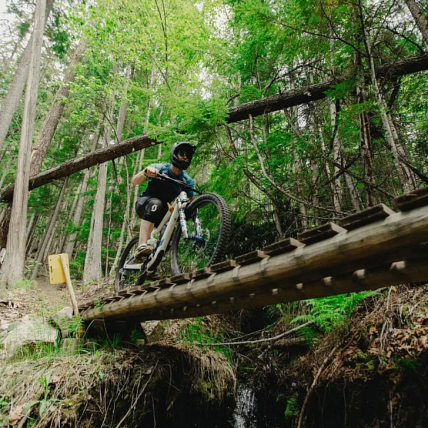 Mount Abriel, Nakusp | Arrow Slocan Tourism/Tamarack Media
 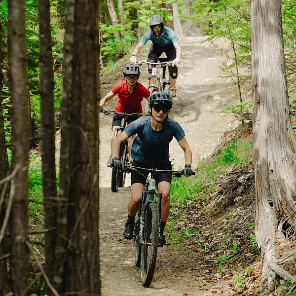 Mount Abriel, Nakusp | Arrow Slocan Tourism/Tamarack Media
 Rossland: Seven Summits
Trail Rating: Black
Length: 28.8 km (18 mi)
Season: July to October
Parking: Seven Summits Trailhead (shuttles available from town)
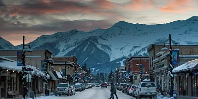
Not one, or two, or even three, but seven summits! That’s how many peaks you cross on this legendary point-to-point high above the gold-rush-era town of Rossland. The Seven Summits traces old mineral claims past peaks with names like Plewman and Old Glory, right next to the US border.
A long but rewarding climb gives way to a traverse across the entire Rossland Range. The trail is technical the whole way, with the final, sustained descent pretty chunky DH territory—though an enduro bike or strong downcountry whip will do the trick. This is the only International Mountain Bike Association Epic Trail in all of Canada, with views that extend deep into the soft-shouldered hills of Eastern Washington.
The newly minted bike park at RED Mountain Resort is an easy bonus option. The new addition amplifies Rossland’s otherwise huge network with lift access to even more of its famously tacky dirt.
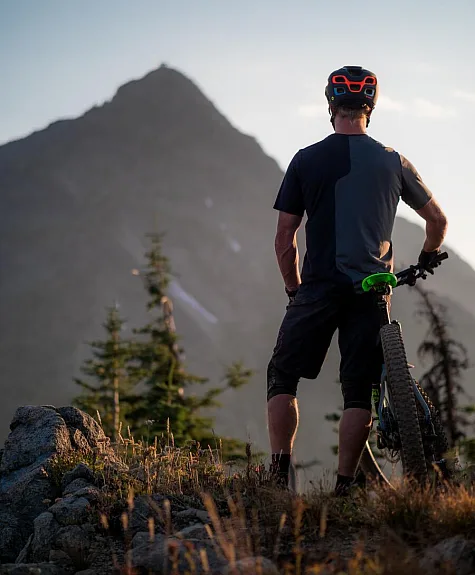
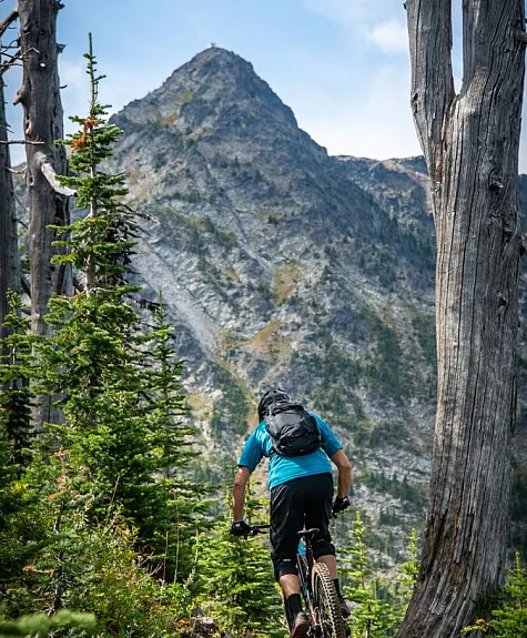 Seven Summits Trail, Rossland | Tourism Rossland/David Silver Photography
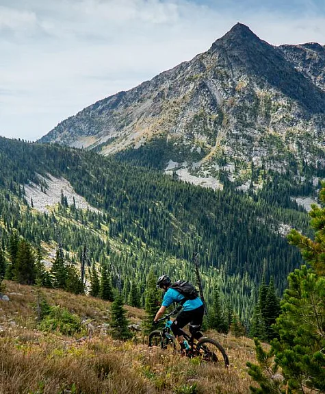
 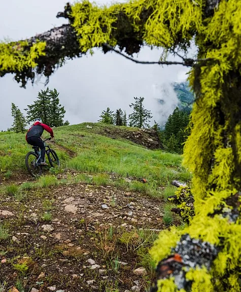 Seven Summits Trail, Rossland | Tourism Rossland/Ashley Voykin
  Seven Summits Trail, Rossland | Tourism Rossland/Eric Gonzalez
  Seven Summits Trail, Rossland | Tourism Rossland/David Silver Photography
 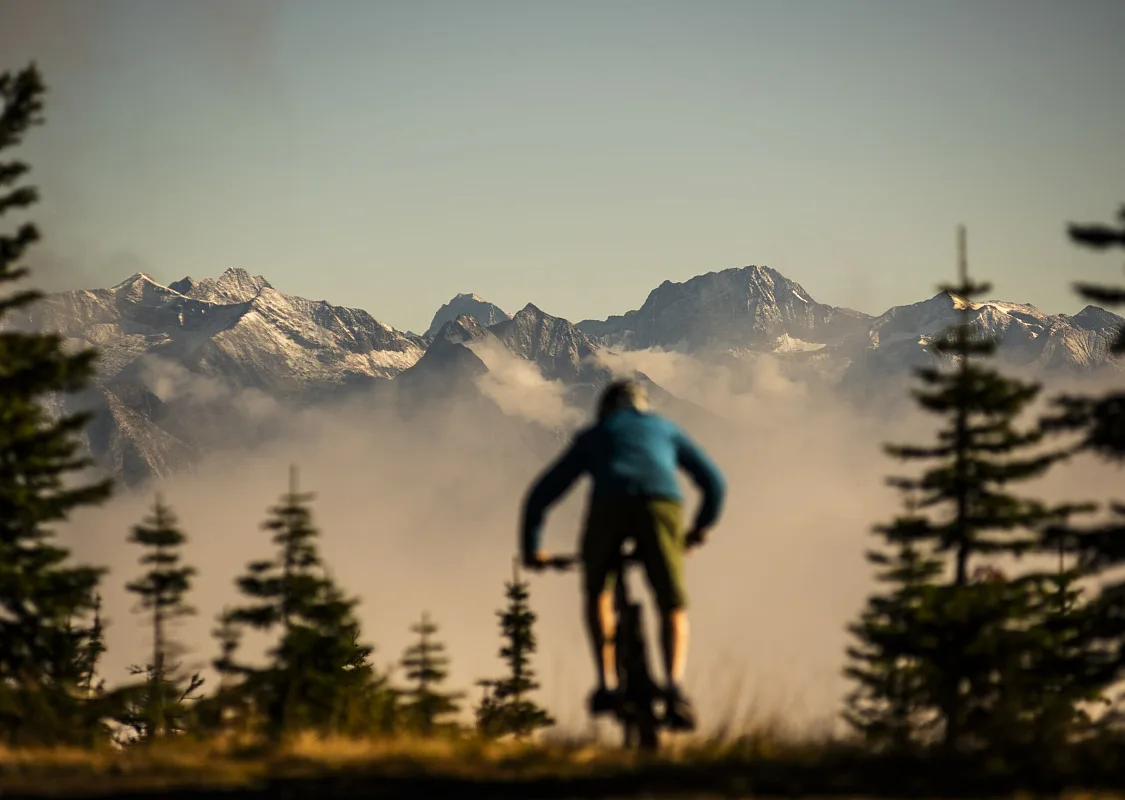 Friendly Giant Trail, Kaslo | Nelson Kootenay Lake Tourism/Kari Medig
 Know before you go
The Birthplace of Adventure is big. As such, the distances between towns are a bit too far to basecamp in any one of them and make day trips elsewhere, with the possible exception of Revelstoke and Mount Abriel. The rest are two hours apart or more, and best linked as a multi-day road trip. It’s about 10 hours driving to connect them all.
Most trails in the Kootenay Rockies area are bi-directional: always yield to uphill traffic. You can brush up on other local etiquette at trailhead kiosks. Trailforks.com has all the map information and trail conditions you’ll need. Check the forecast and be prepared for every kind of weather, even midsummer: from hail to heat waves.
Most of these forests are well adapted to rain and the trails drain and ride exceptionally well from spring to winter, but give them a morning to soak it up if it’s really wet, and don’t braid the trails around puddles.
Adventure Smart
Always check trail conditions before you leave and be prepared for any outdoor activity.
Getting Here & Around
Visitors to British Columbia can arrive by air, road, rail, or ferry.
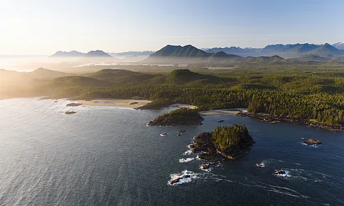
 Pacific Rim National Park | Abby Cooper