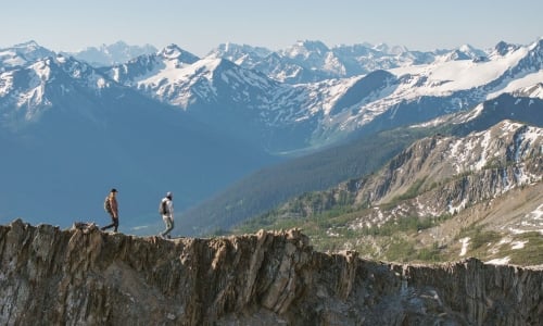
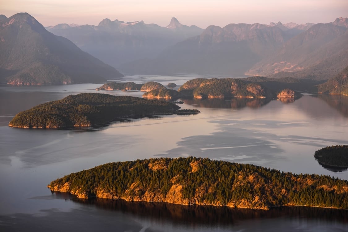
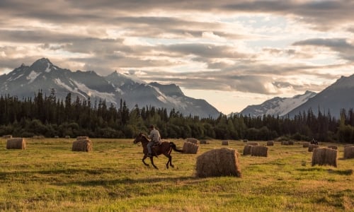

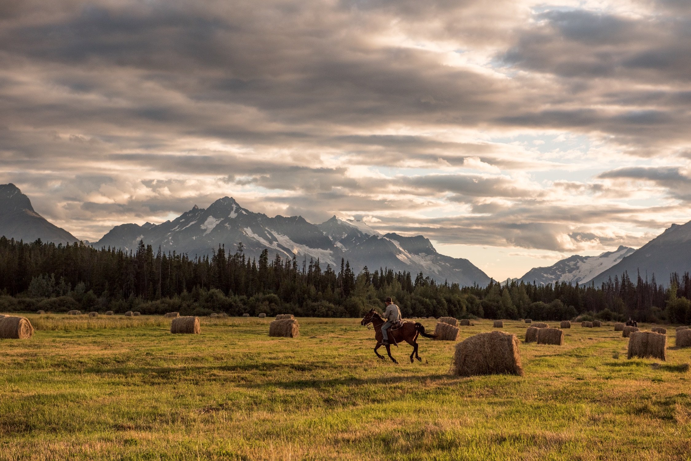
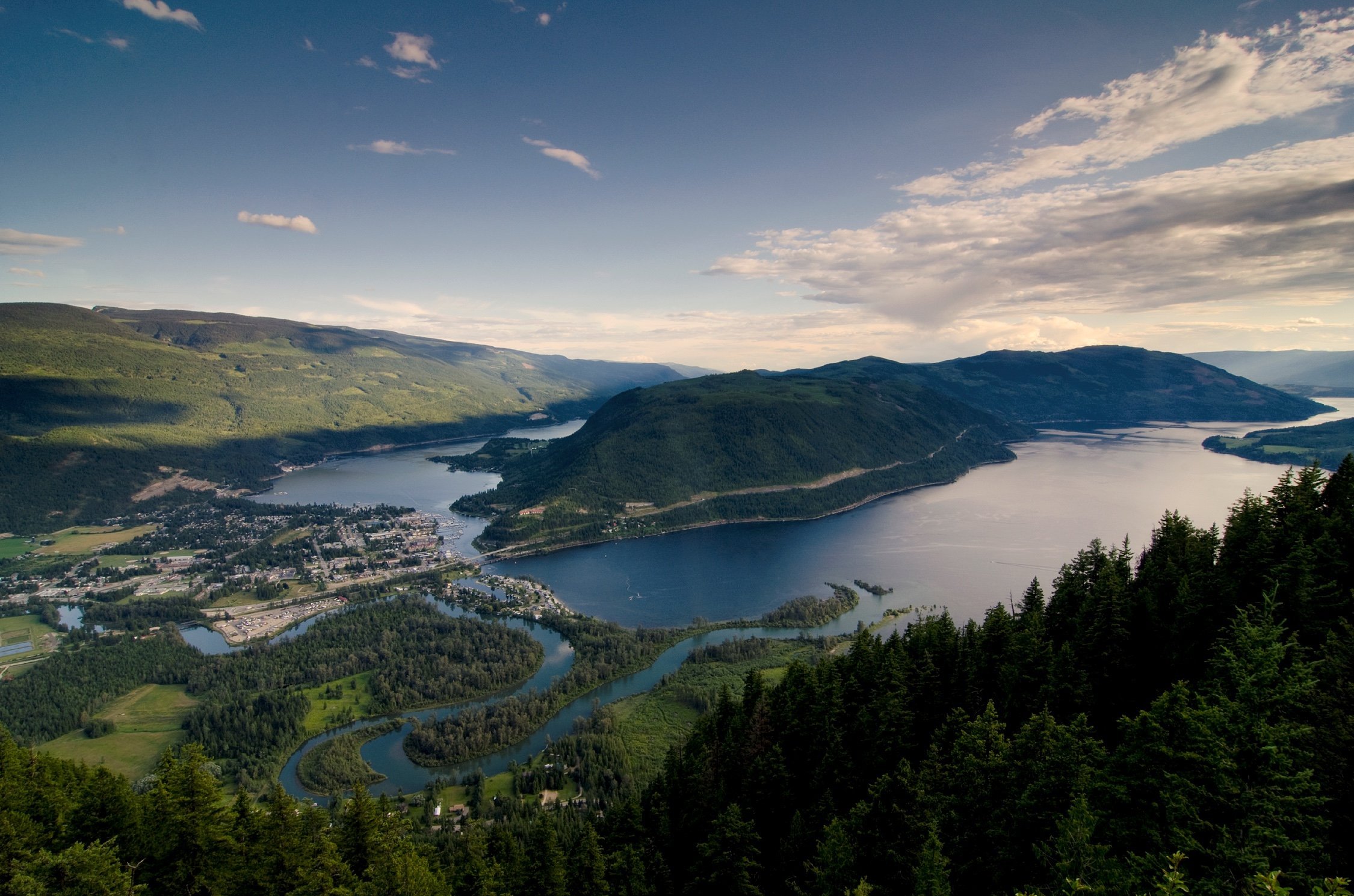
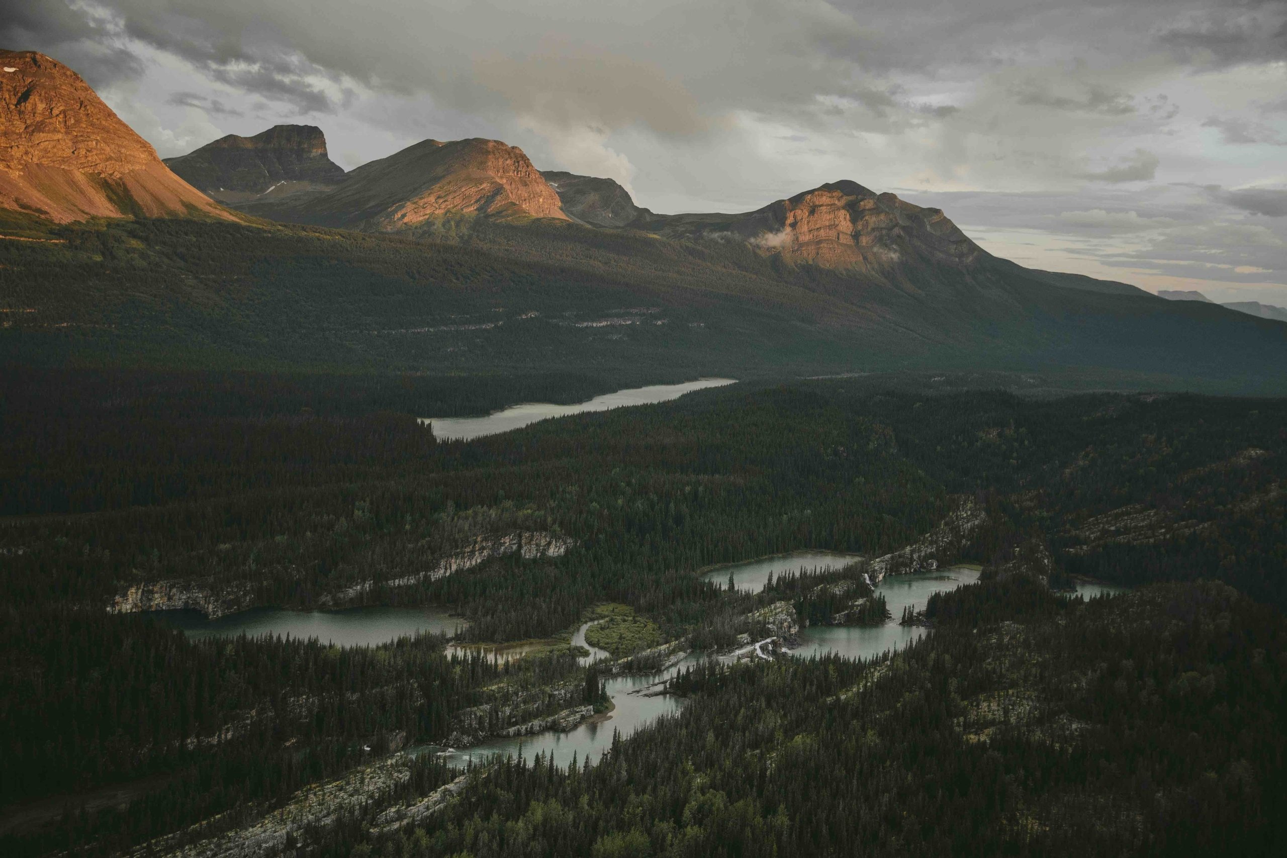


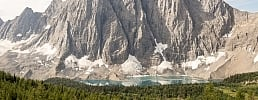

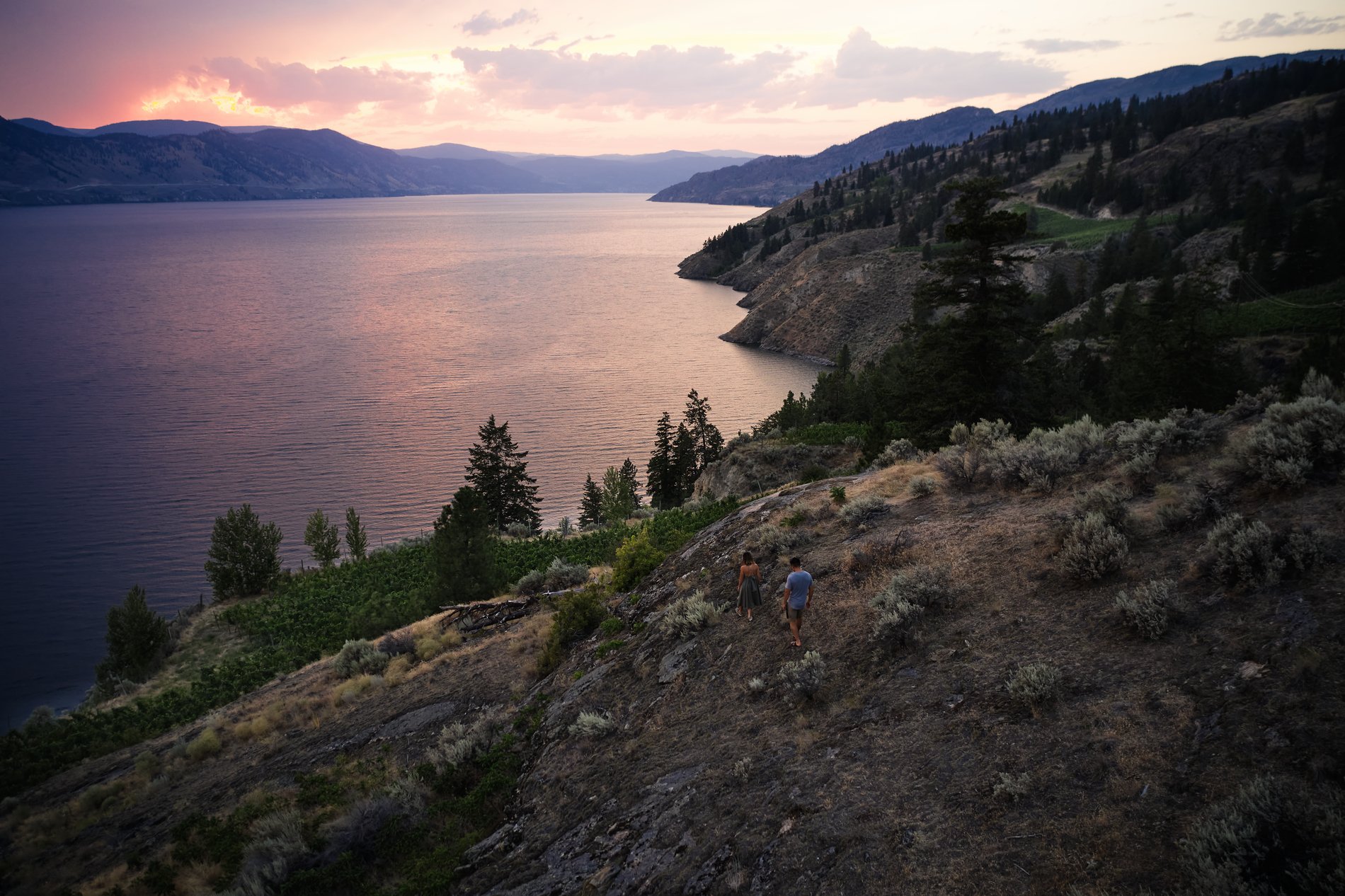

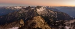
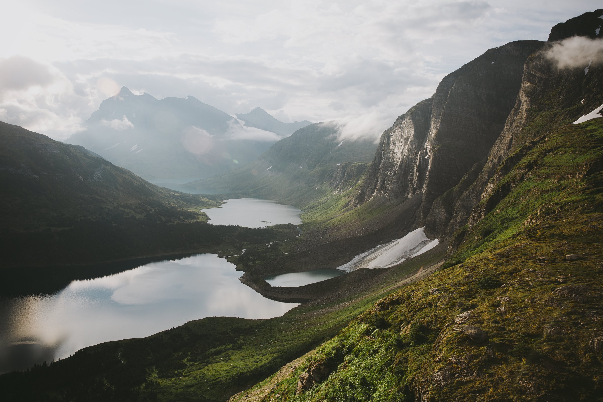
 The Limestone Lakes, with the bluffs of Weaver Peak, Monkman Provincial Park, just south of the Tumbler Ridge UNESCO Global Geopark.
The Limestone Lakes, with the bluffs of Weaver Peak, Monkman Provincial Park, just south of the Tumbler Ridge UNESCO Global Geopark.
The Limestone Lakes, with the bluffs of Weaver Peak, Monkman Provincial Park, just south of the Tumbler Ridge UNESCO Global Geopark.
What is a UNESCO Global Geopark,
And Why You Should Visit This One?
Written by: Julia Crawford | October 20, 2020
There are 195 UNESCO Global Geoparks in 48 countries around the world, but there is only one in western Canada—in Tumbler Ridge, BC.
What is a Global Geopark? They are described as landscapes of geological significance, where visitors can touch the “memory of the Earth.” They are the geological DNA of a region, areas of fascinating terrain, complex ecosystems, and significant biodiversity that are worth preserving, visiting, and learning about.
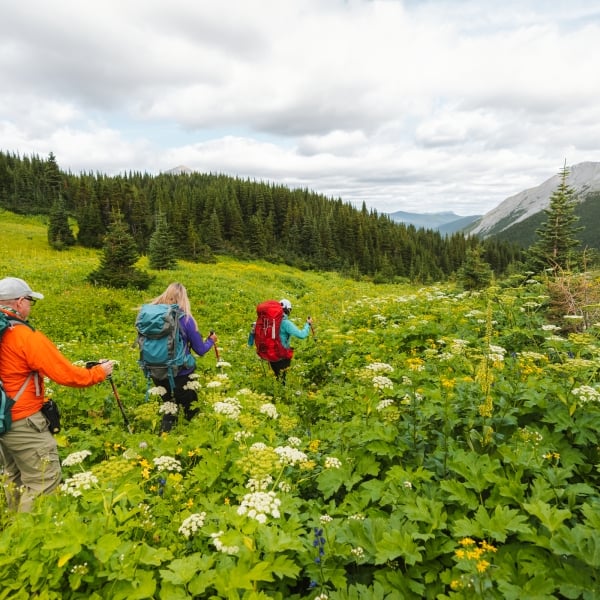
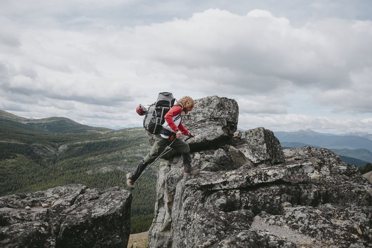
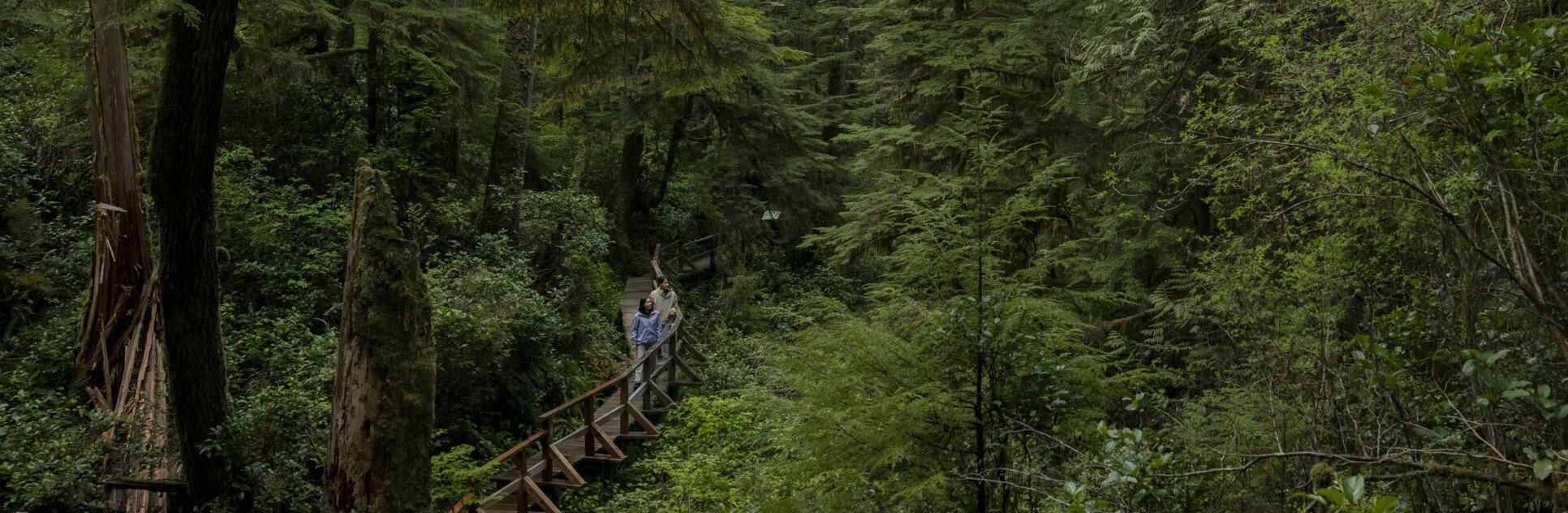
 Hiking the Shipyard / Titanic trail in Tumbler Ridge
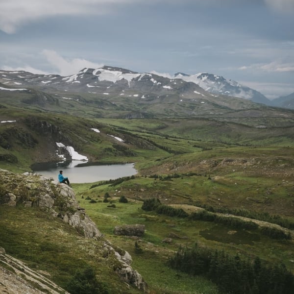
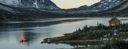
 Hiking to Windfall Lake.
Where is Tumbler Ridge?
Tumbler Ridge Geopark lies in BC’s Peace Region in northeastern BC, between the Sukunka Valley to the west and the Alberta border to the east, extending from the eastern slopes of the Hart Ranges of the Northern Rocky Mountains and flanked by high glaciated summits to its south. The Tumbler Ridge Geopark cuts through rivers, valleys, and foothills, as well as six provincial parks, linking nearly 8,478 squared km (2.1 million acres) of forest, canyon, valley, alpine, and rivers. Its highest peak measures at 2,360 metres (7,742 feet) above sea level.
Where is the next closest Global Geopark from Tumbler Ridge? That would be 5,206 kilometres (3,234 miles) away, in Percé, Quebec.
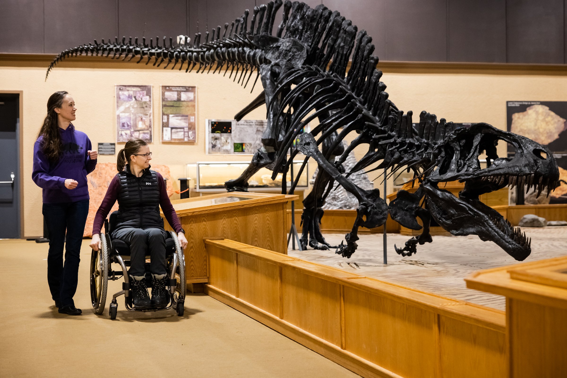
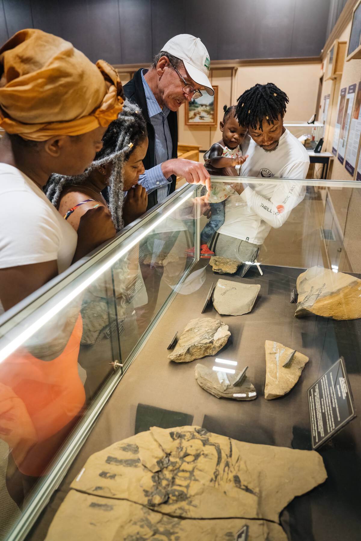 Family at the Tumbler Ridge Dinosaur Discovery Gallery
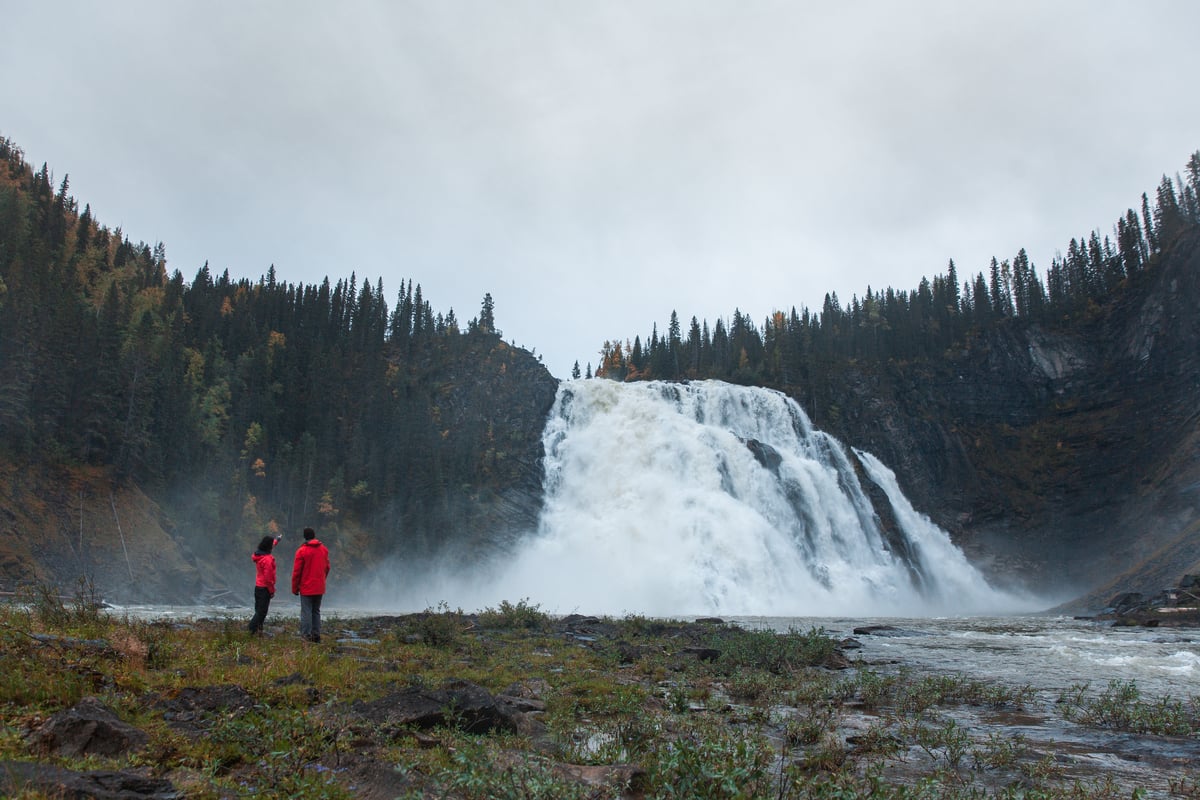
Tumbler Ridge: Millions of Years in the Making
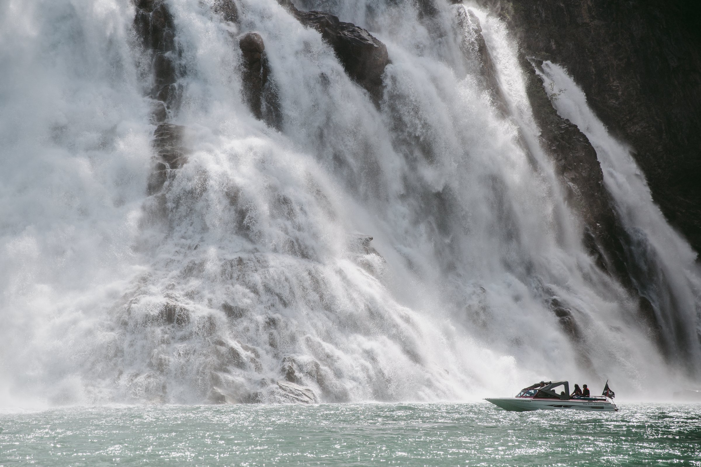
Tumbler Ridge became the second UNESCO Global Geopark in North America in 2014. It features plunging waterfalls, craggy peaks, lush river valleys, and striated rock, and the park is home to the only dinosaur museum in BC, and the only publicly accessible dinosaur trackways in the province.
Of particular significance are the sedimentary deposits found within the Western Canadian Foreland Basin, which span a geological time range of 60 to 600 million years ago. You’ll find evidence of the Cretaceous period in the area’s dinosaur tracks, and of the turbulent Triassic age in the fossilized remains of fishes and marine reptiles, which gave rise to the first dinosaurs on Earth.
How to Explore Dinosaur Sites in Tumbler Ridge
You don’t need to be a palaeontology buff to appreciate the rarity of the dinosaurs discovered here—including some of the world’s only known examples.
Take for instance the area’s tyrannosaurid tracks. Of the 15 recorded examples across the globe, 10 of them are located in Tumbler Ridge, the discovery of which revealed that T-rexes hunted in packs, not as individuals. There are footprints from the Turonian age—the only ones ever found on Earth—and complete dinosaur skeletons, Hadrosaur bones and Tyrannosaur teeth on display on display at the Dinosaur Discovery Gallery.
To organize your visit around dinosaur sites, head to the Dinosaur Discovery Gallery in town. The facility sheds light on the area’s most exciting discoveries and offers guided tours. It’s also a great place to begin a hiking adventure through the backcountry of the Geopark to picturesque waterfalls and lakes.
Looking for a family-friendly tour? Book a guided tour of the three-kilometre (1.87-mile) return Flatbed Valley Geosites, home to the accessible dinosaur tracks in the area and the site of a dinosaur bonebed.
When to Visit Tumbler Ridge
Late spring to early fall are popular times to visit Tumbler Ridge Geopark though most guided tours run during the peak summer season, from late June to mid-September. In autumn, the Peace River’s stands of larches are an exceptional place to witness warm fall colours.
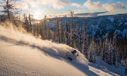
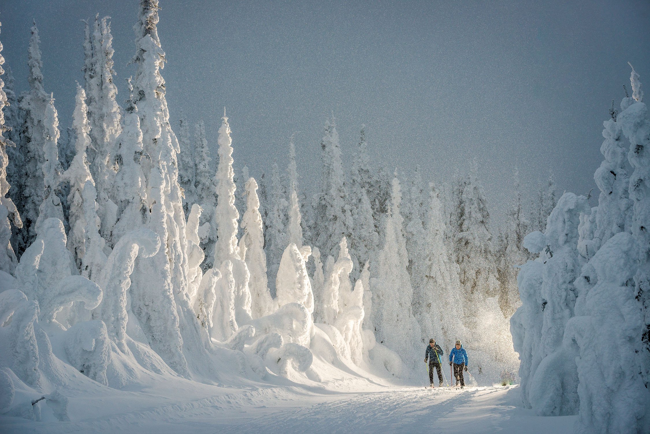
While you can visit in colder months for winter activities in the area, like snowshoeing and snowmobiling, some roads to outdoor recreation will require 4×4 access. Also keep in mind that some dinosaur tracks, fossils, and sediment deposits will not be visible under snowpack.
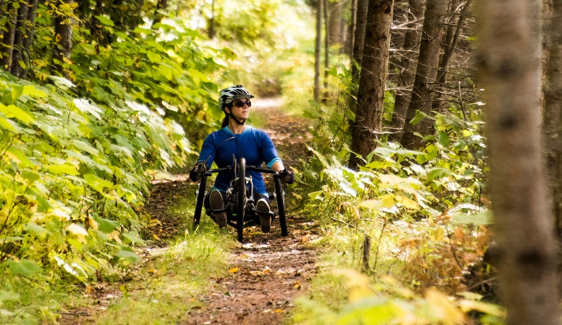
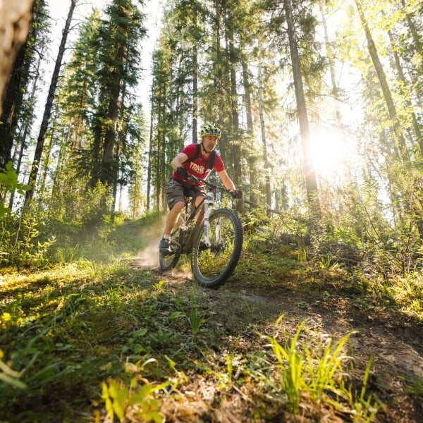 Mountain Biking in Tumbler Ridge
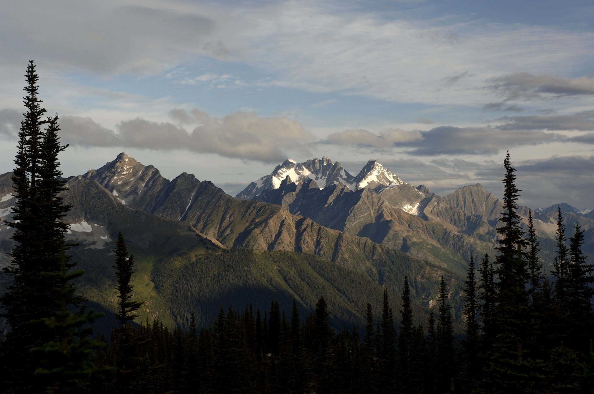
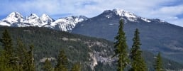
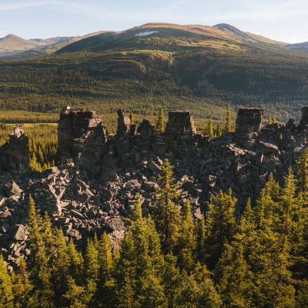
 Monkman Tarns, Monkman Provincial Park, Tumbler Ridge UNESCO Global Geopark
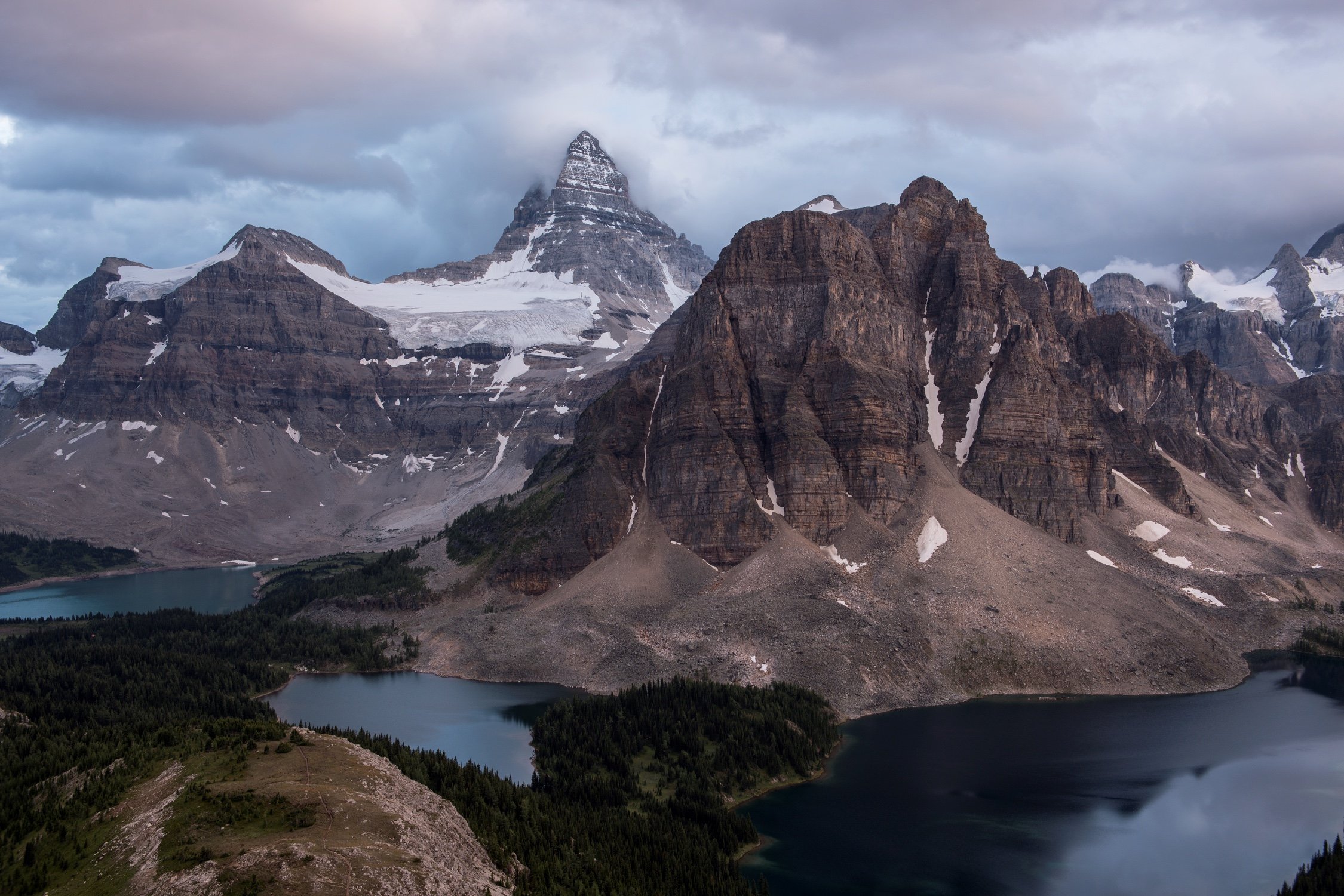
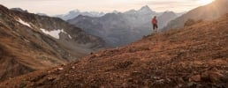
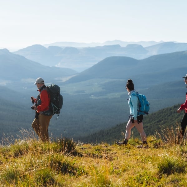 Hiking Mount Spieker in Tumbler Ridge
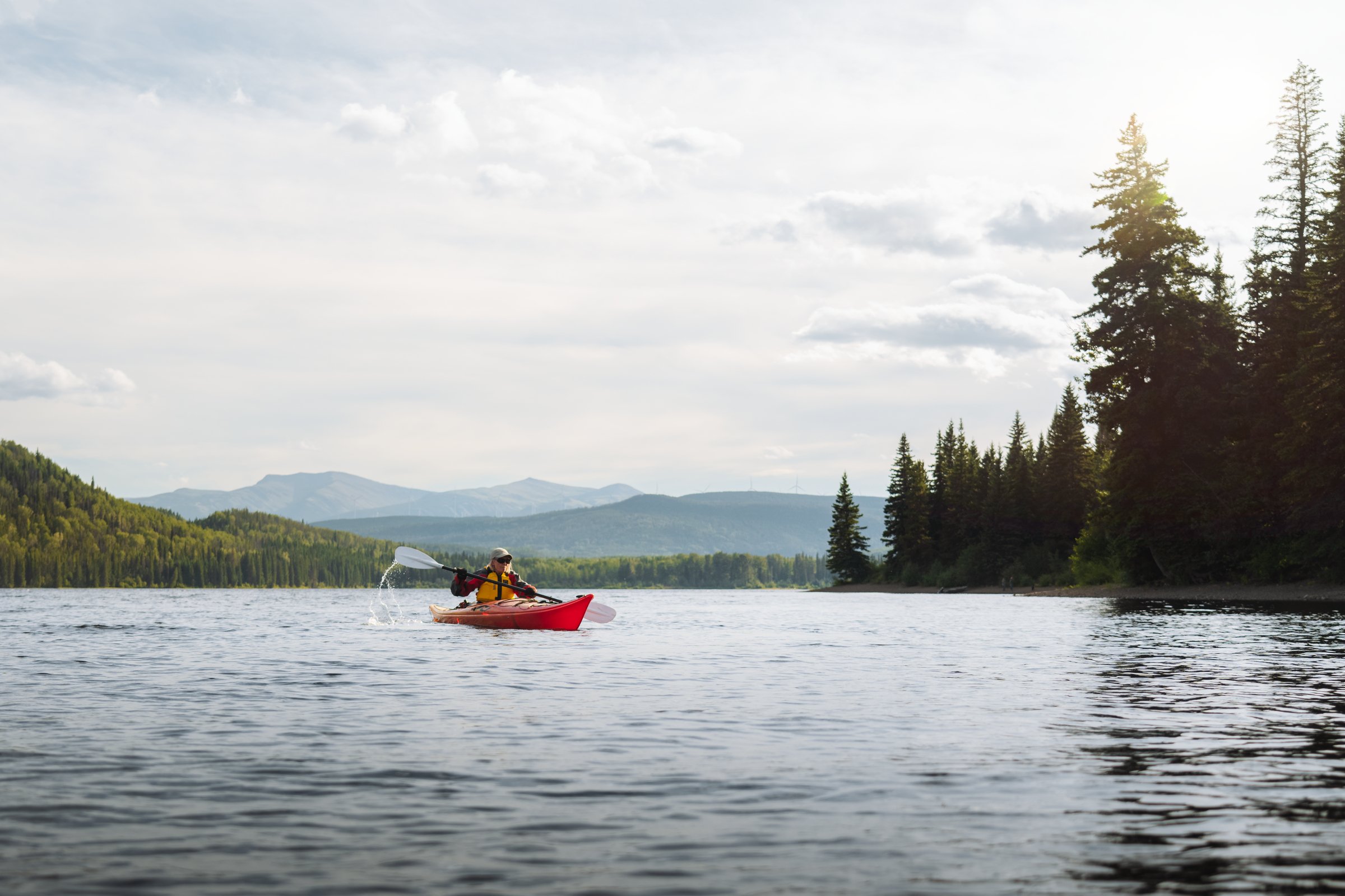 Kayaking on Gwillim Lake in Tumbler Ridge
Getting here
Despite its prolific wilderness, Tumbler Ridge is easily accessible. You will need a car, however.
From Vancouver and the Okanagan, expect a two-day drive via Highway 1 and Highway 97. Coming from Edmonton and Grande Prairie? Highway 43 is an easy one-day straight shot; from Calgary, Highways 2 and 22 will connect you to the main artery heading west in a longer, though quite scenic, route.
Highway 16 in Northern BC will connect you to Prince George, then onto Highway 97 north.
There is no airport in Tumbler Ridge, but nearby Fort St. John, Prince George, and Dawson Creek offer direct flights to and from Vancouver, Calgary, and Edmonton. Vehicle rentals are available from local airports; make sure to reserve in advance.


Where to stay in and around Tumbler Ridge
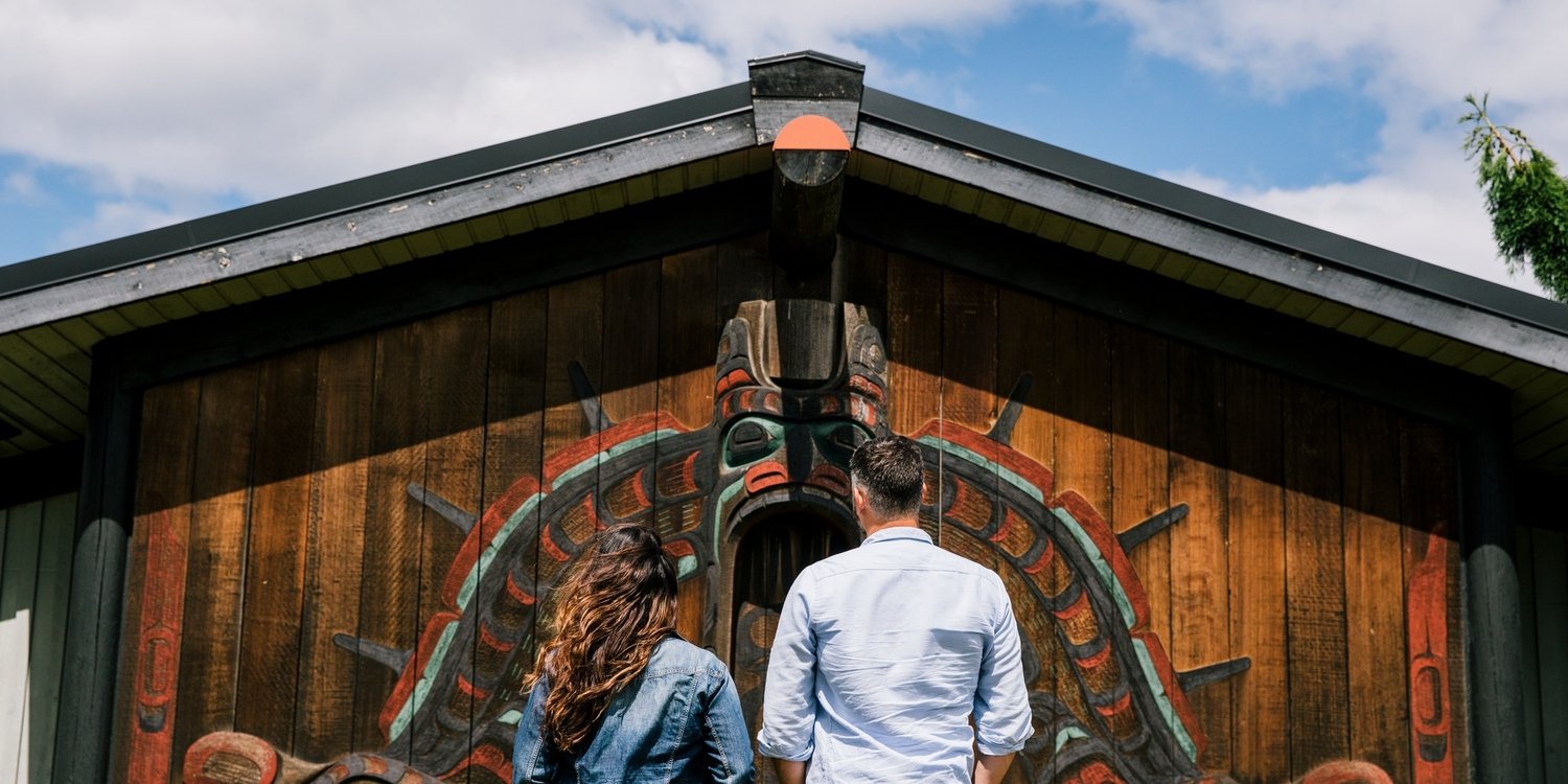
Learn More About These Unique Conservation Areas
UNESCO Geoparks are among the only areas in the world to cover nearly all the sustainable development goals adopted by the United Nations.
Geoparks are also established through a “bottom-up” approach, starting with the community. This empowers local and regional partners to work together to manage these special areas with a holistic approach encompassing protection, education, and sustainable development.
When you visit a Geopark, not only are you exploring one of 195 unique geological landscapes in the world, but you are helping a community to realize its long-term goals and vision for the area.
Learn about UNESCO Global Geoparks and check out the Tumbler Ridge Geopark website to plan your visit.
Feature Image: Mike Seehagel
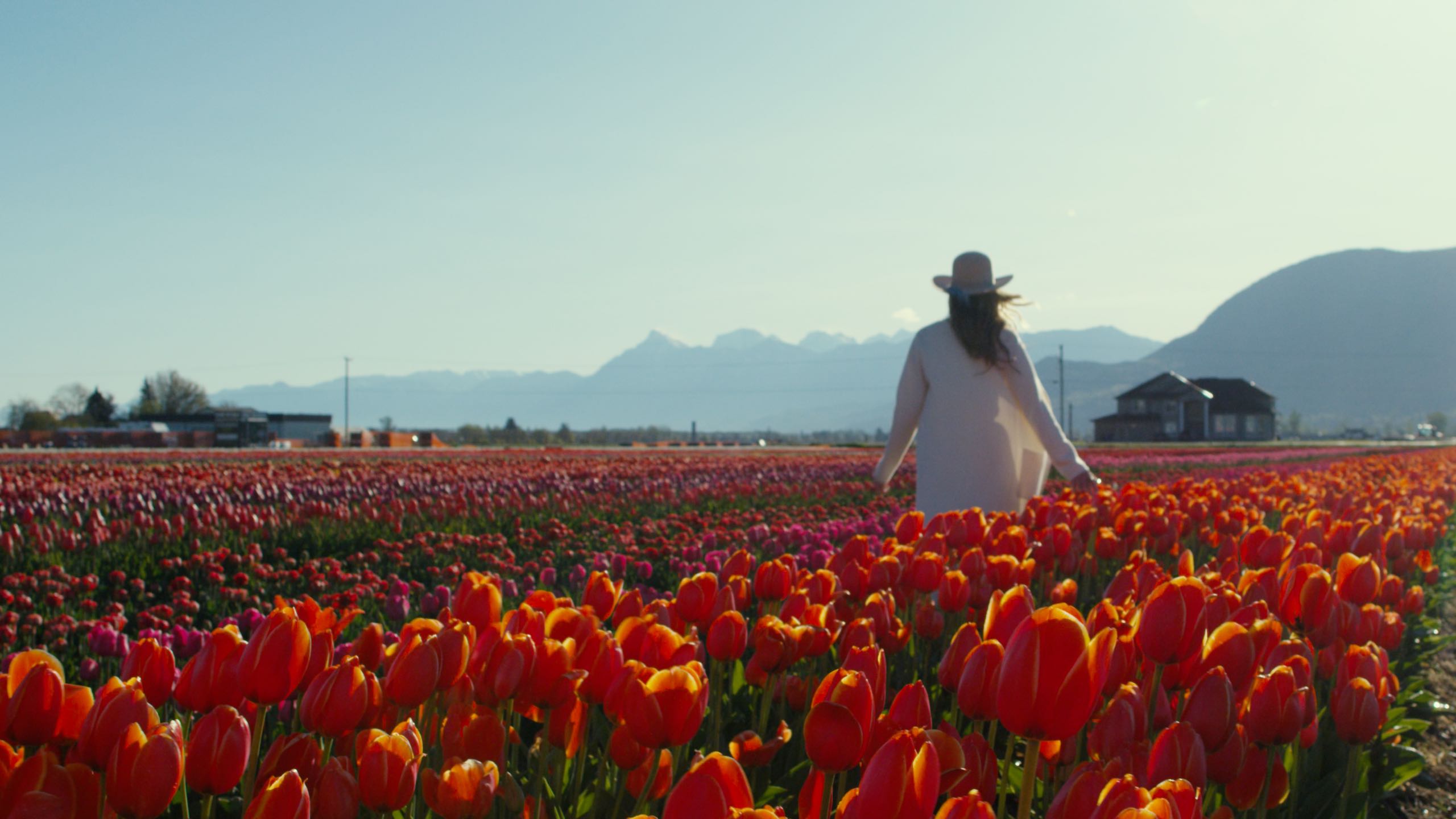
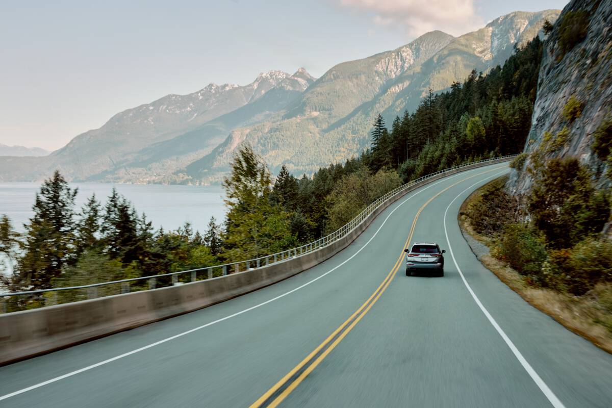
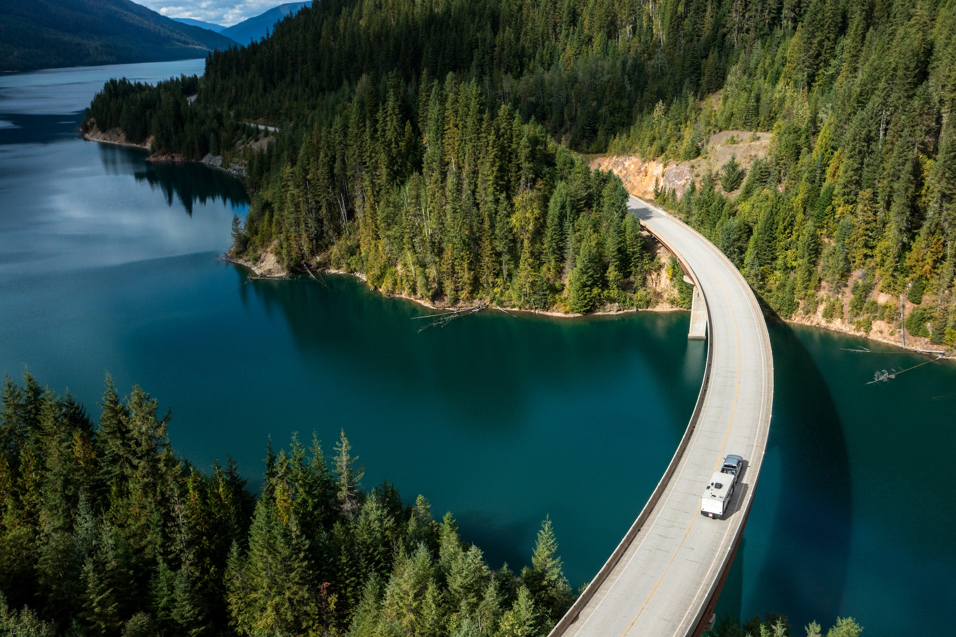
Plan Your Route
Check Drive BC for the latest information on road closures around the province.
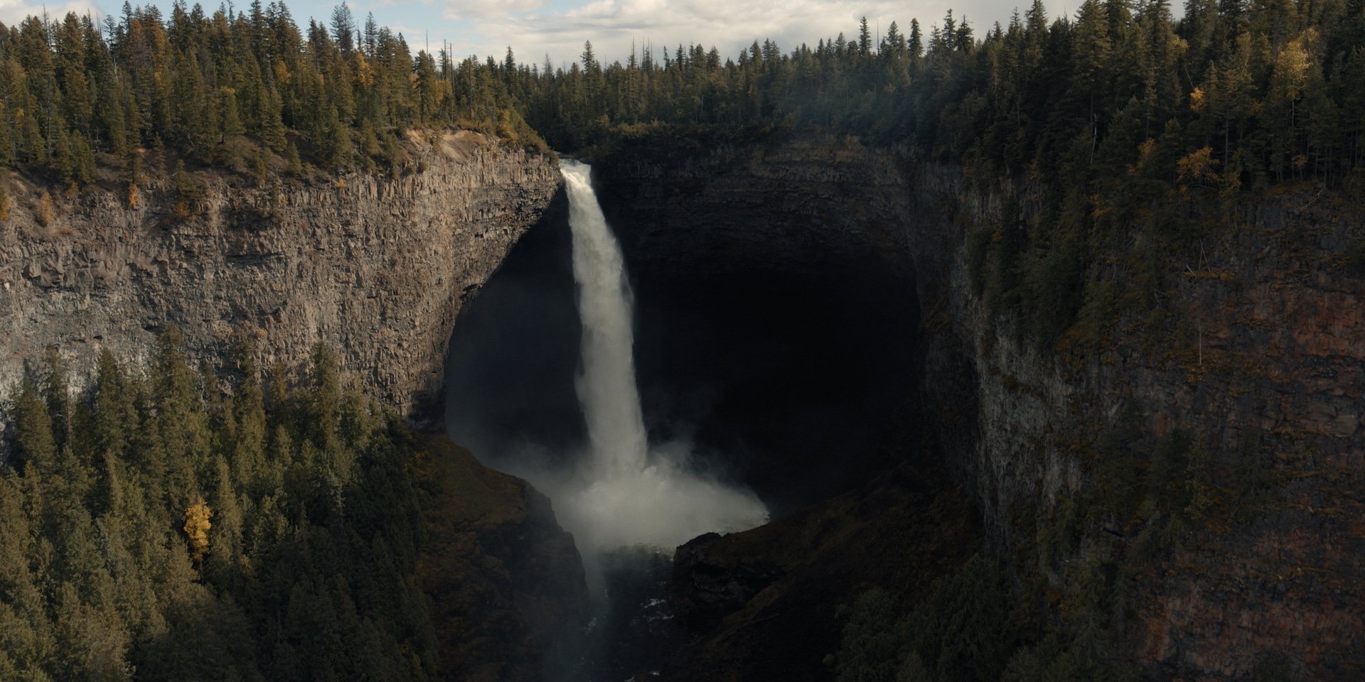
BC Parks
Learn about hiking and biking trails, provincial campgrounds, park closures, and more.
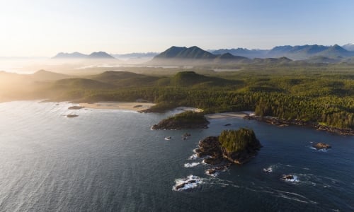
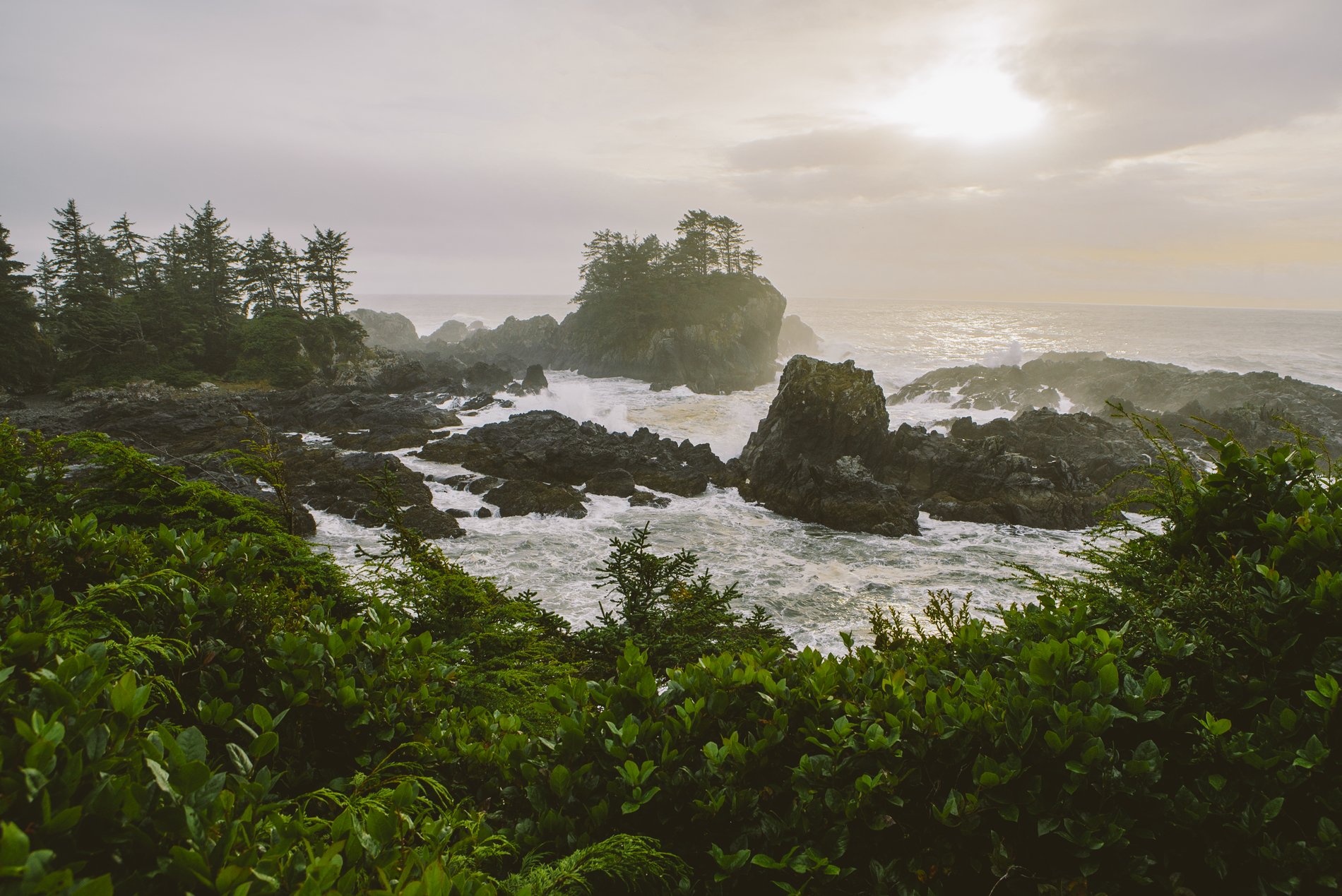
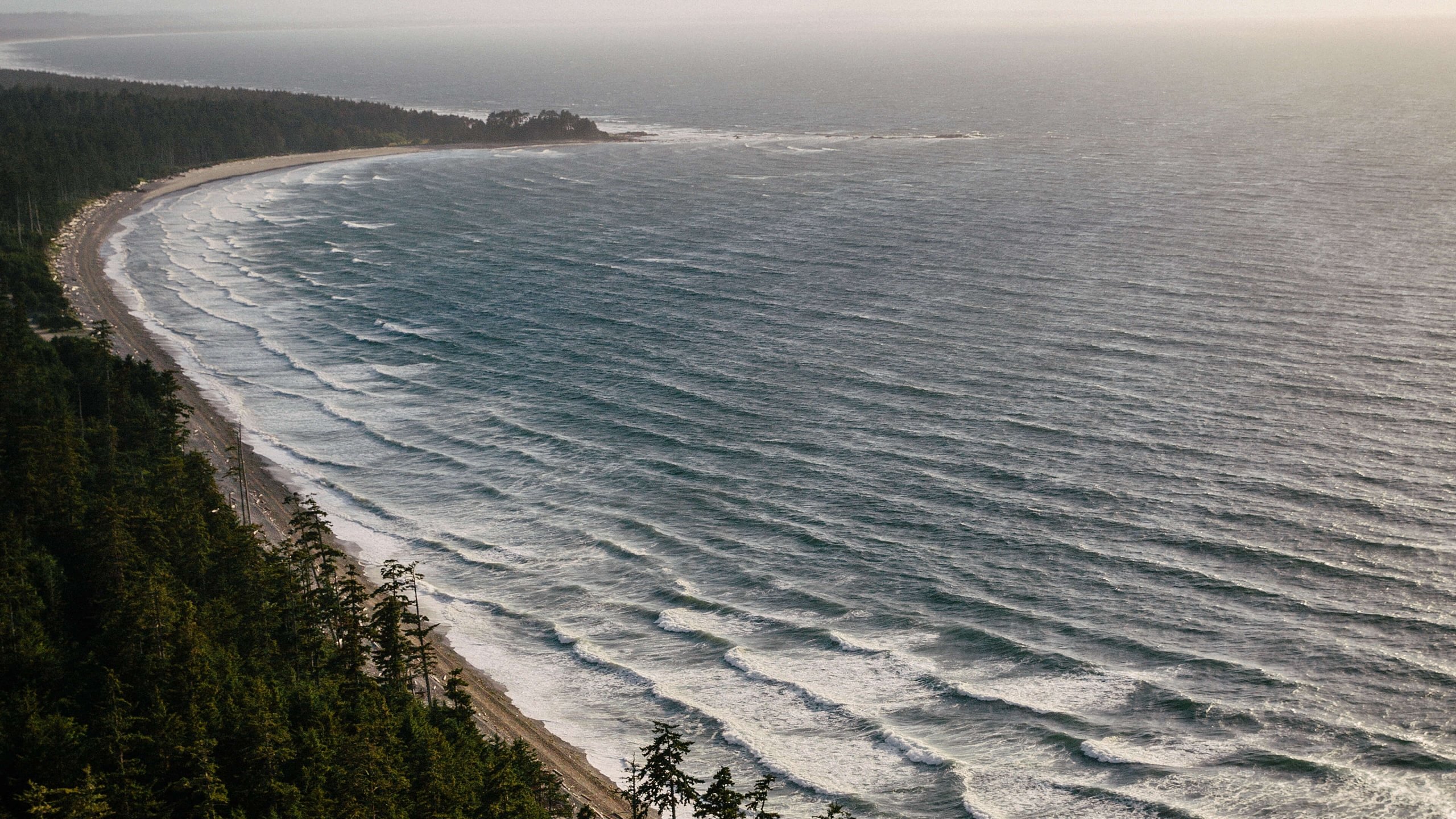
 Pacific Rim National Park | Abby Cooper