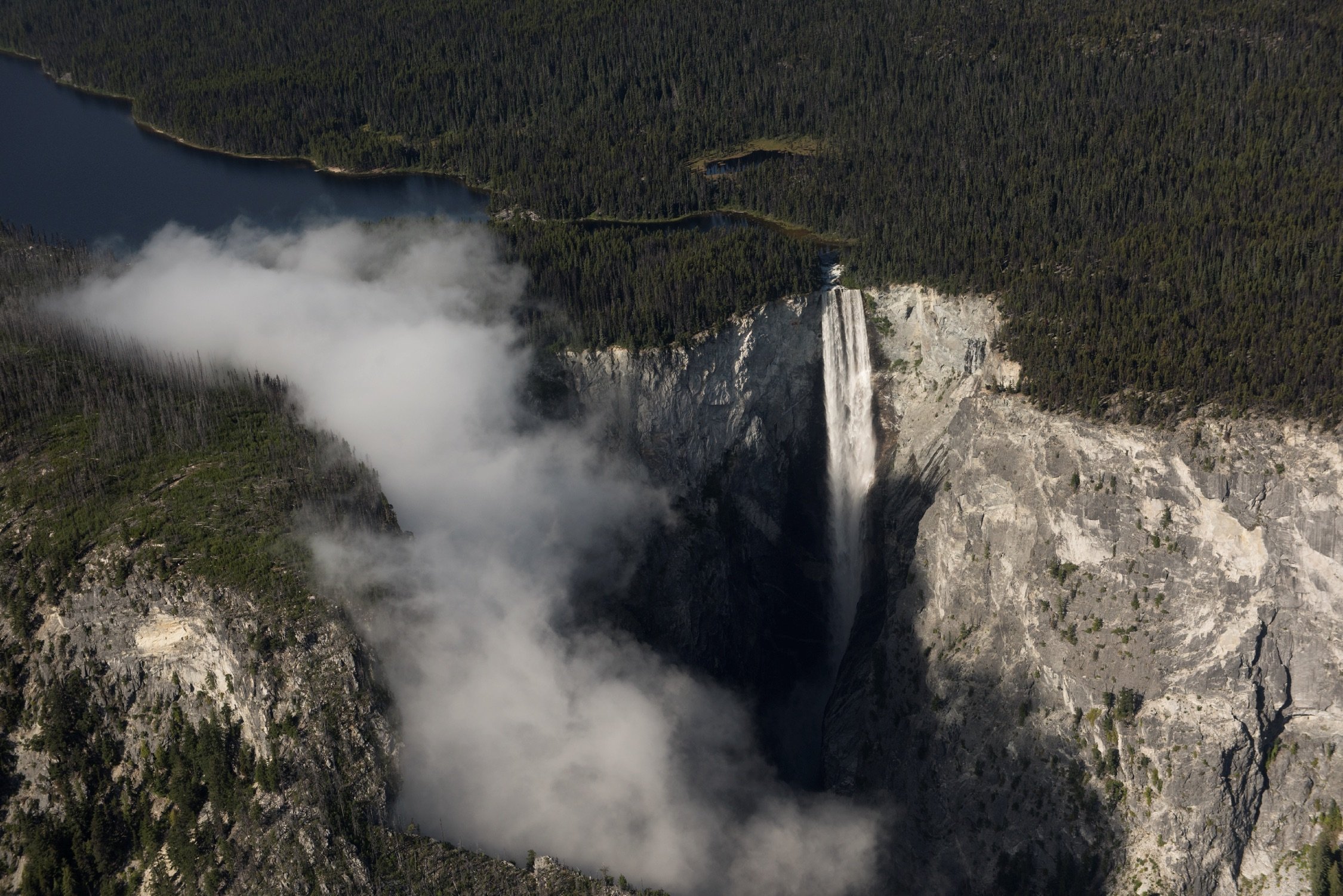

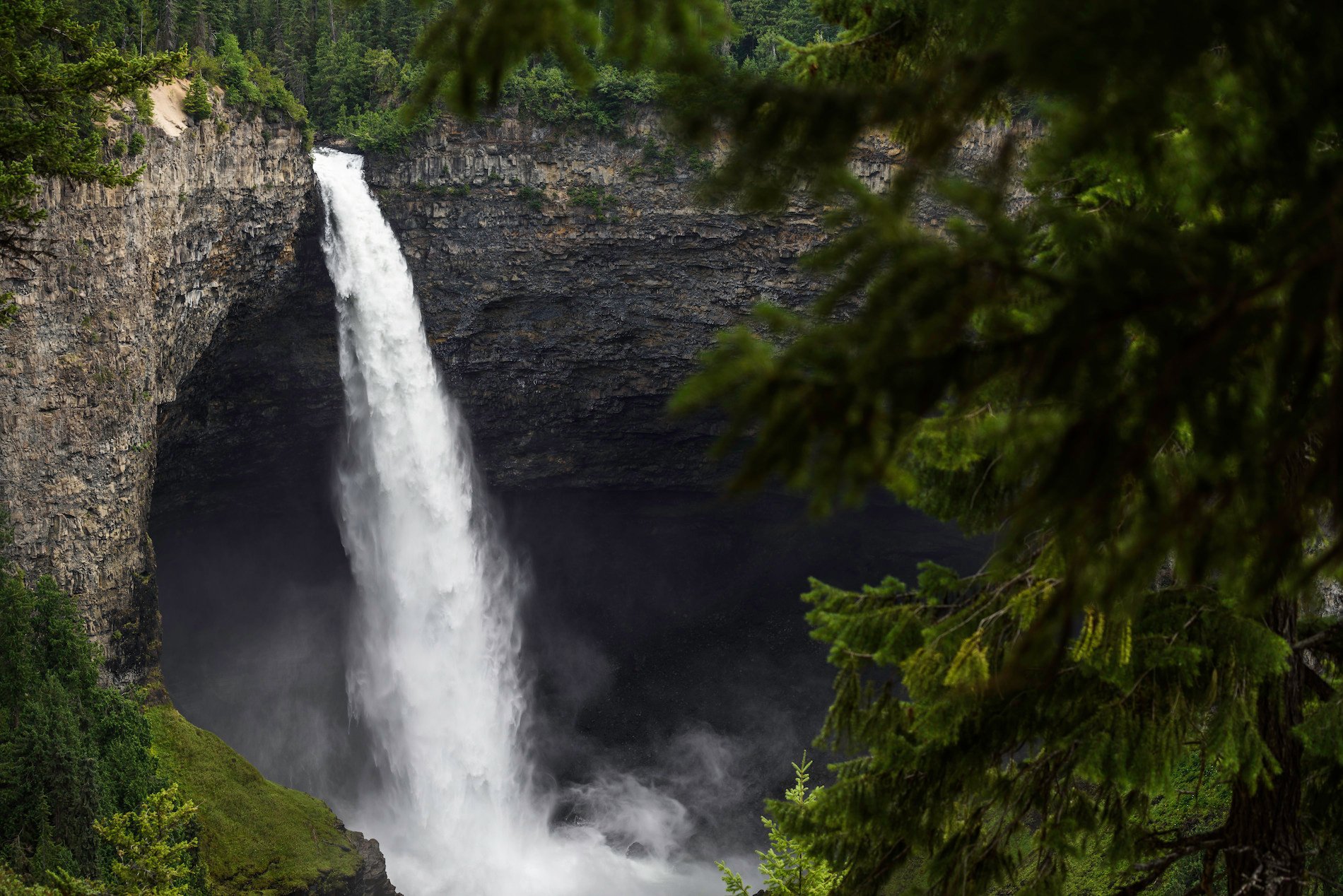
 Emperor Falls in Mount Robson Provincial Park | Brayden Hall Emperor Falls in Mount Robson Provincial Park | Brayden Hall
 Rainforest to Rockies
North to Mount Robson
Find adventure as you travel from Vancouver and the Pacific Ocean to Mount Robson, the Canadian Rockies’ highest peak.
6 Destinations
7-10 Days
709 km | 440 mi
If outdoor adventure feeds your soul, then this journey of discovery, immersive experiences, and plenty of surprises is for you. Start in Vancouver, where time spent in nature is a part of every day. Travel the Sea-to-Sky Highway and beyond, exploring shifting landscapes that take you from sea level to summit, and from canyons to cactus before rising again toward Mount Robson, the highest peak in the Canadian Rockies.
Part 1
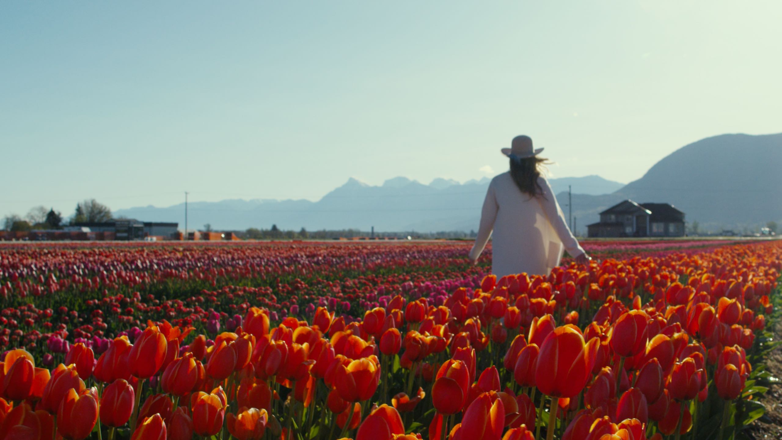
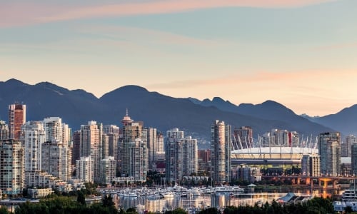
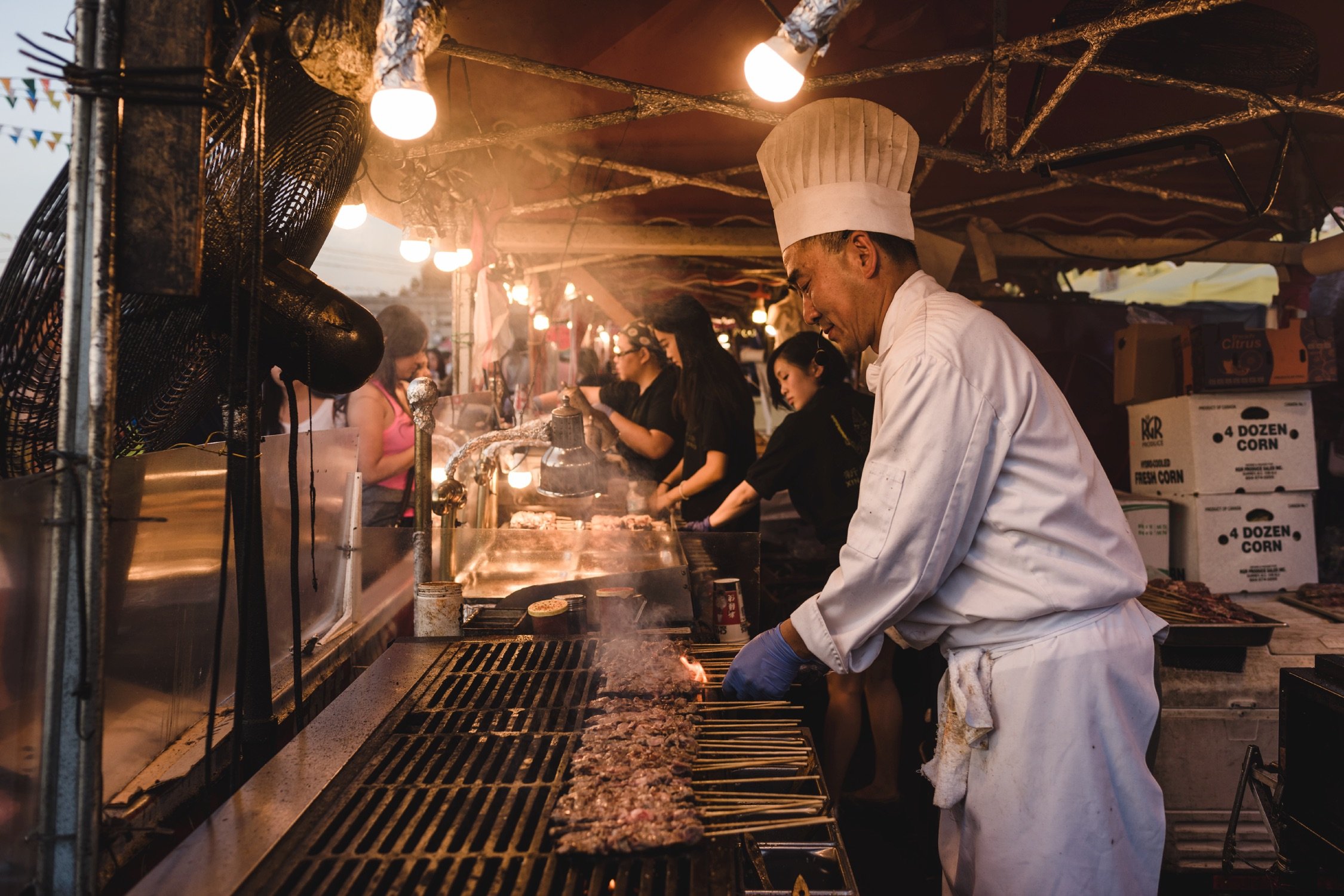
Vancouver
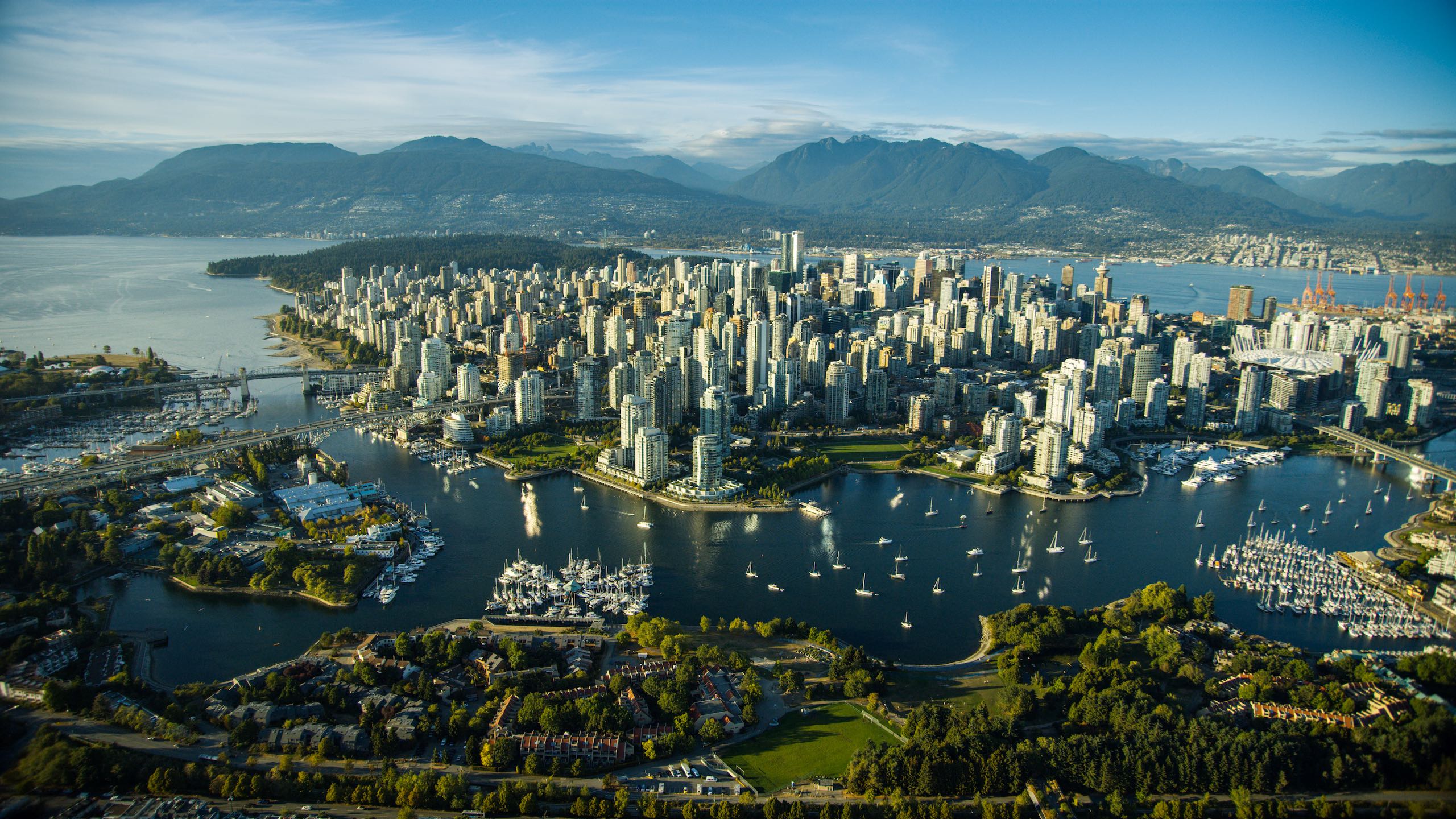
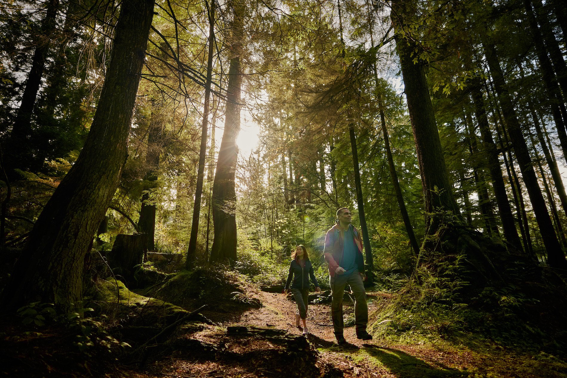
When you arrive in Vancouver—by car, by plane, or by boat—you’ll be instantly struck by the natural landscape. Sure, the city’s striking glass towers reflect the green of the forest and the blue of the sea. Yes, Vancouver is home to talented, Michelin-starred chefs whose ingredients come from places just beyond your table.
-
 Stanley Park Seawall | Kezia Nathe
 -
 Stanley Park | Destination Vancouver/Kindred & Scout
 -
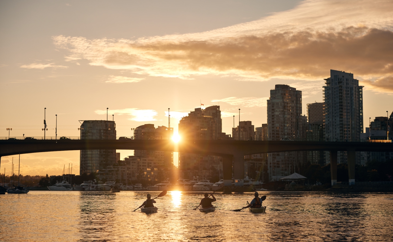
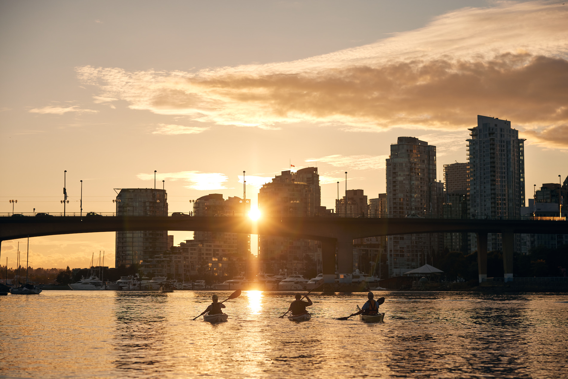 Stroll to one of the city’s sandy beaches for a swim, or get out on the water with the locals by renting a kayak or SUP. Image credit: False Creek | Destination Vancouver/Kindred & Scout
 -
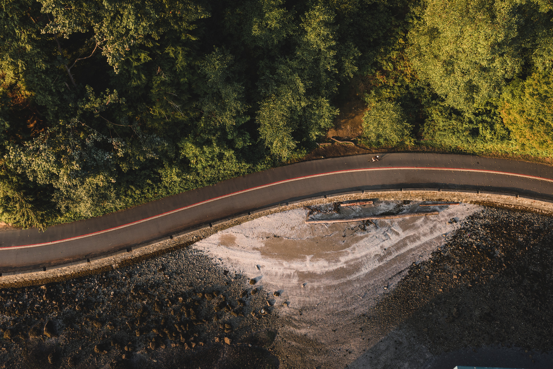
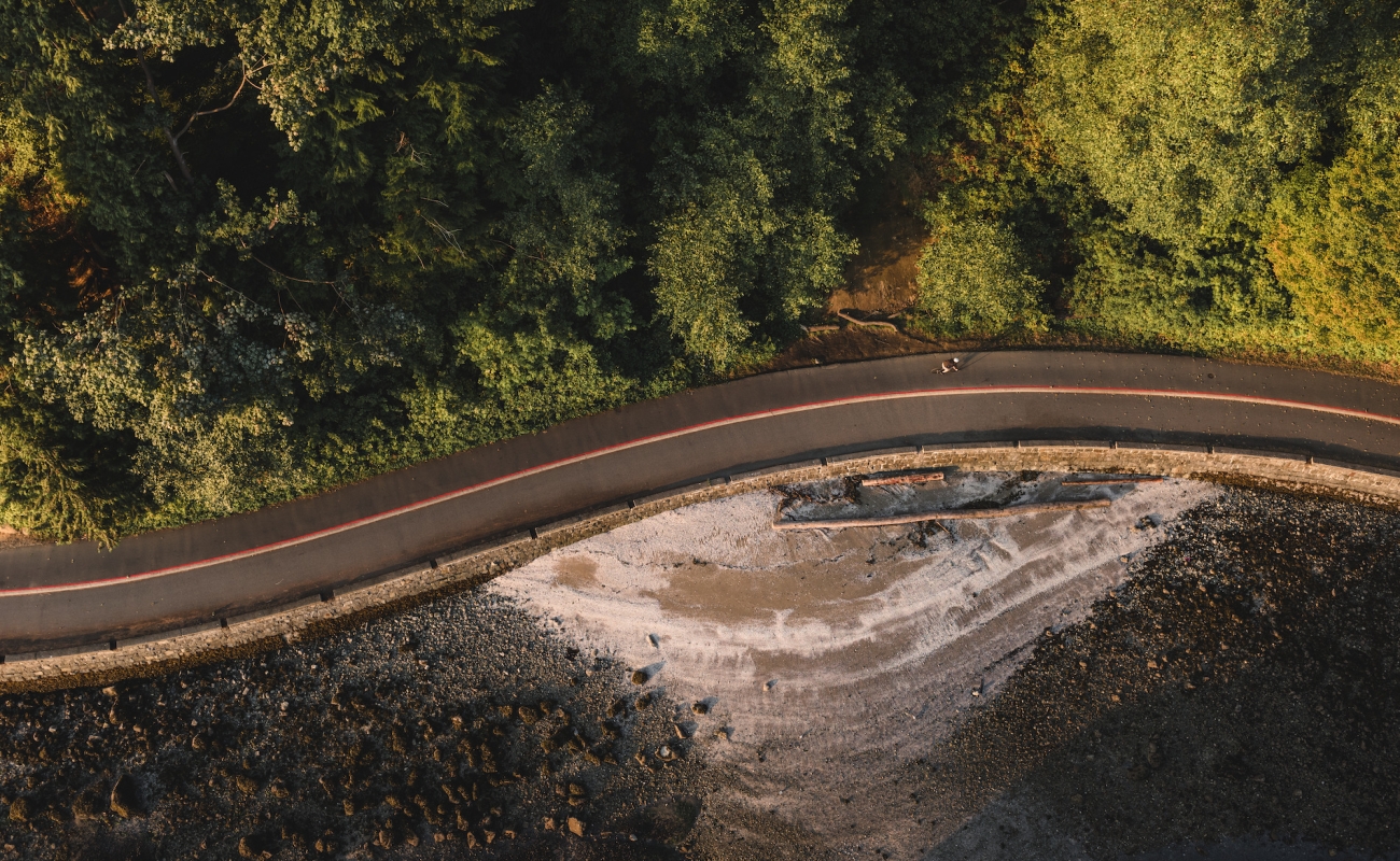
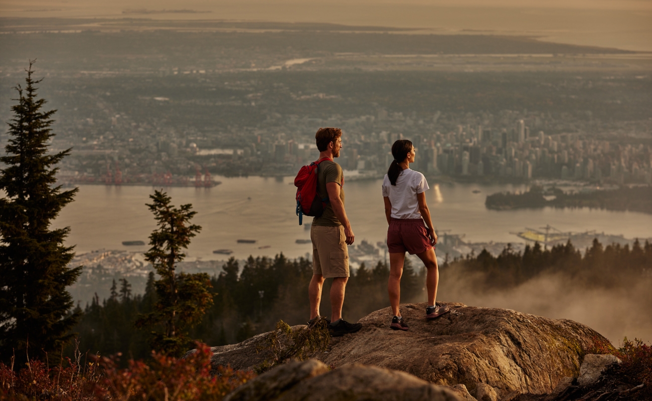
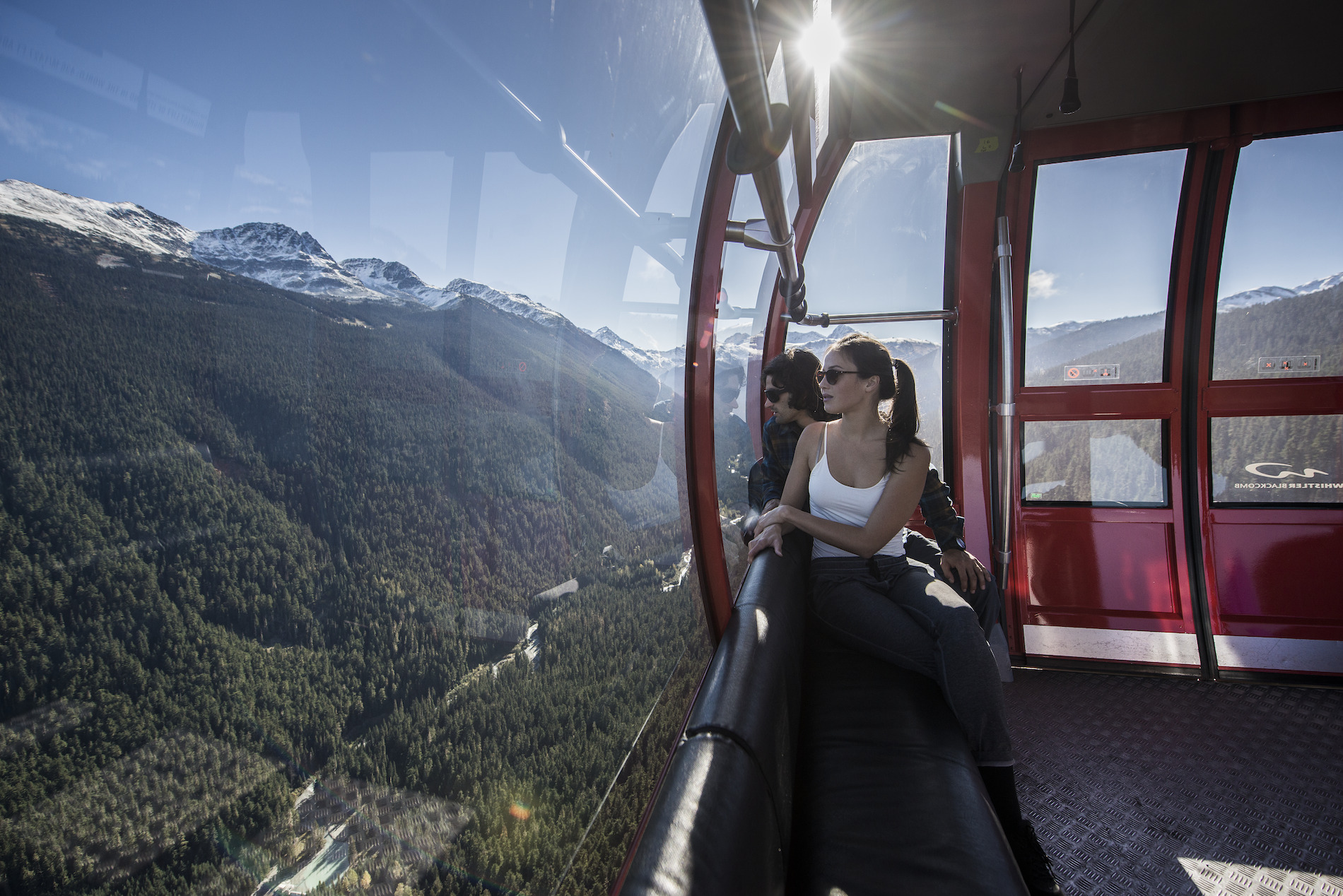
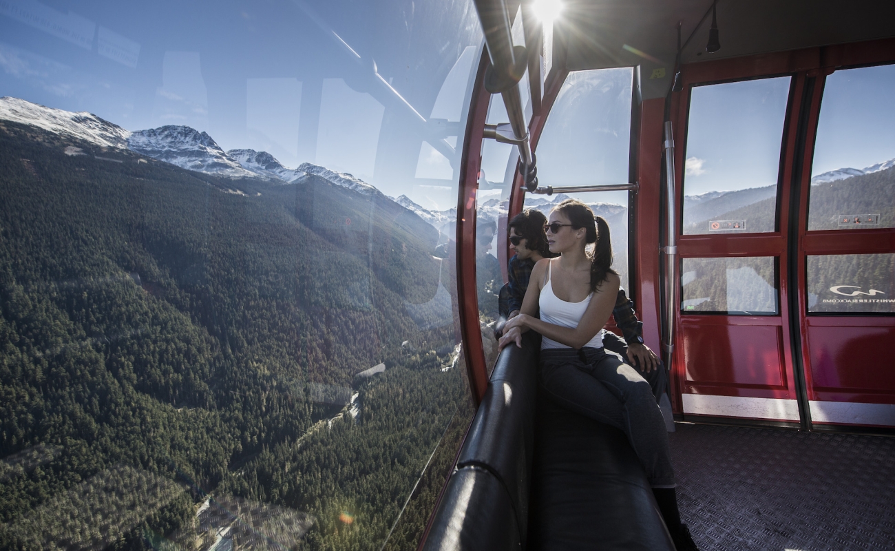
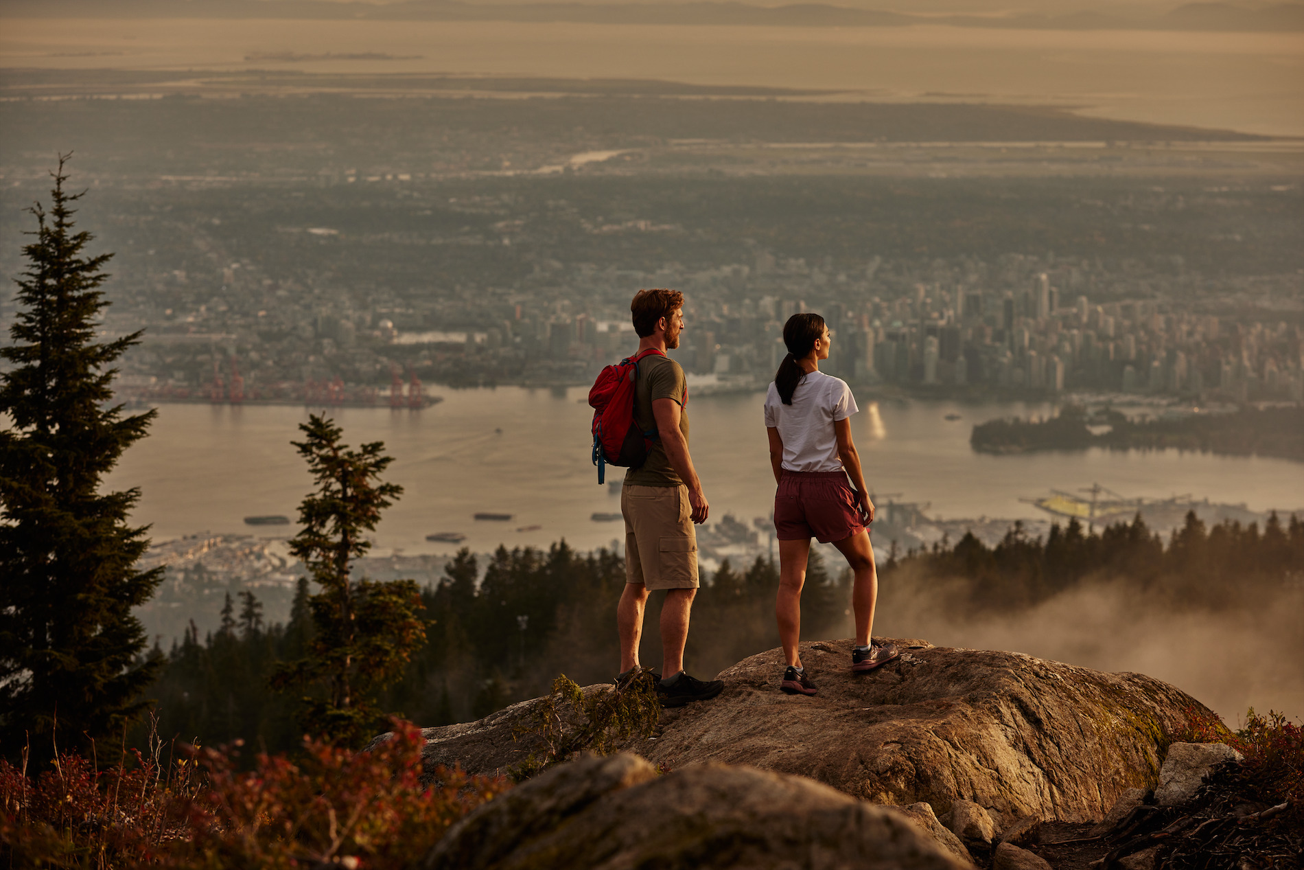 Cross the iconic Lions Gate Bridge to the North Shore Mountains, legendary in the world of mountain biking. Or if hurtling down a mountain on two wheels feels a bit too intense, challenge gravity instead and hike up—or take a gondola to the top of Grouse Mountain—for a panoramic view of the city with its many parks and waterways laid at your feet. Image credit: Grouse Mountain | Destination Vancouver/Kindred & Scout
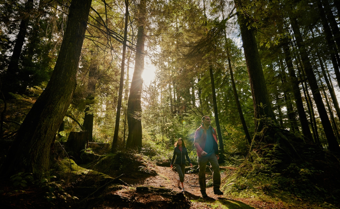
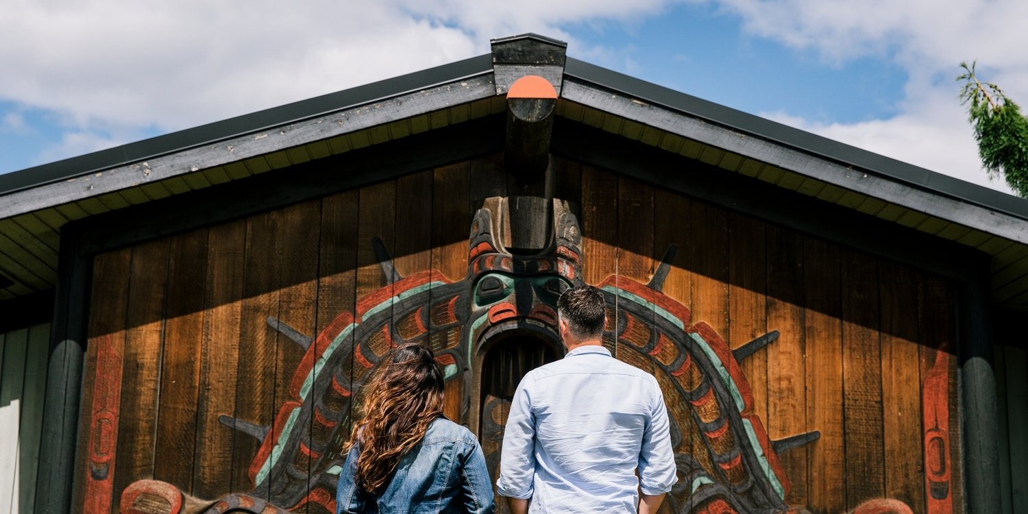
And it’s true that there’s a vibrant and storied Indigenous culture here that thrives alongside cultures that span the globe. But the real magic of this spectacular city on Canada’s west coast is in the fact that you can immerse yourself in nature within minutes and with little effort.
Part 2
Vancouver to Whistler
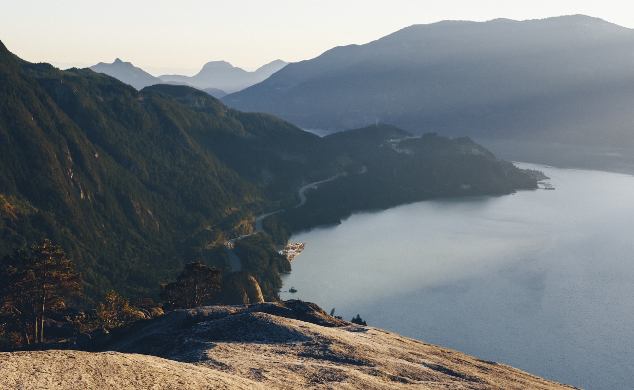
The visual feast continues as you travel the Sea-to-Sky Highway, widely considered to be among the world’s most scenic drives. Passengers will be glued to the window, thanks to vistas that include the UNESCO-designated Howe Sound Biosphere Region with its ever-changing views of the islands and islets that rest in this picturesque fjord.
Arrive in Squamish, known as the Outdoor Recreation Capital of Canada, and continue north as the landscape changes from ocean to alpine. Take advantage of roadside viewpoints overlooking spectacular BC scenery including enormous glaciers and faraway mountain peaks, and watch for waterfalls as you approach Whistler, home to North America’s preeminent mountain resort.
-
 High Note Trail | Blake Jorgenson
 -
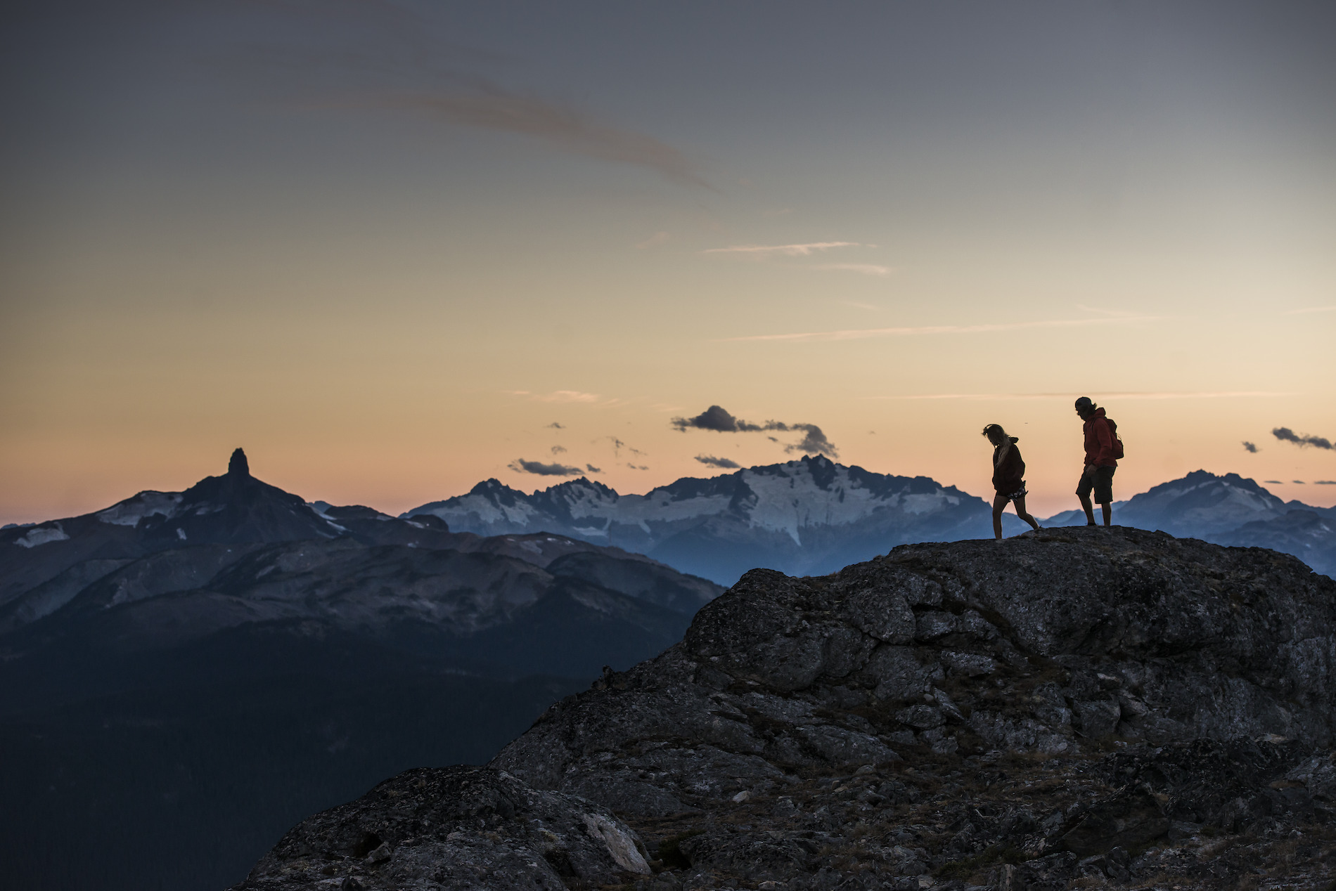
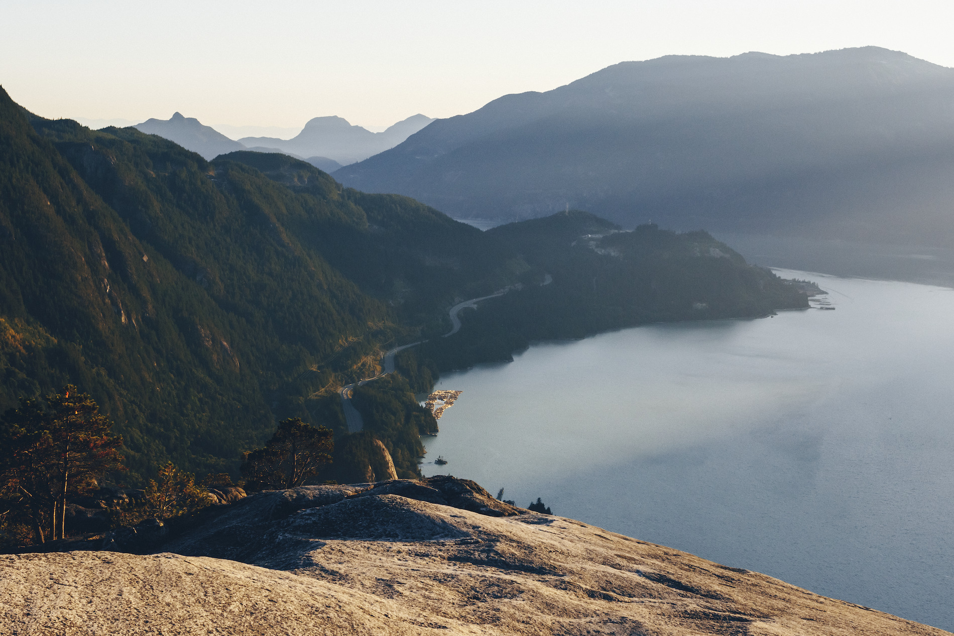 In Squamish, watch for the Stawamus Chief, one of the world’s largest granite monoliths and a destination for hikers and rock climbers. Image credit: View from the top of the Stawamus Chief | Ben Girardi
 -
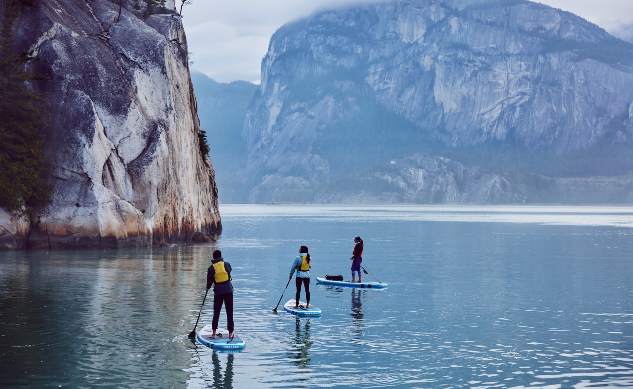
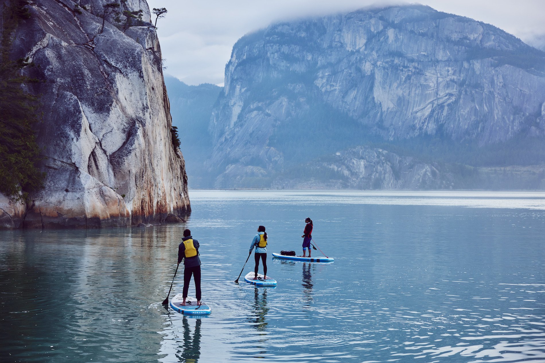 Squamish's location at the head of a fjord makes it a draw for all manner of watersports, which explains why so many active residents happily commute to Vancouver, and why pro athletes make their home here. Image credit: SUP tour in Howe Sound near Squamish | Hubert Kang
 -
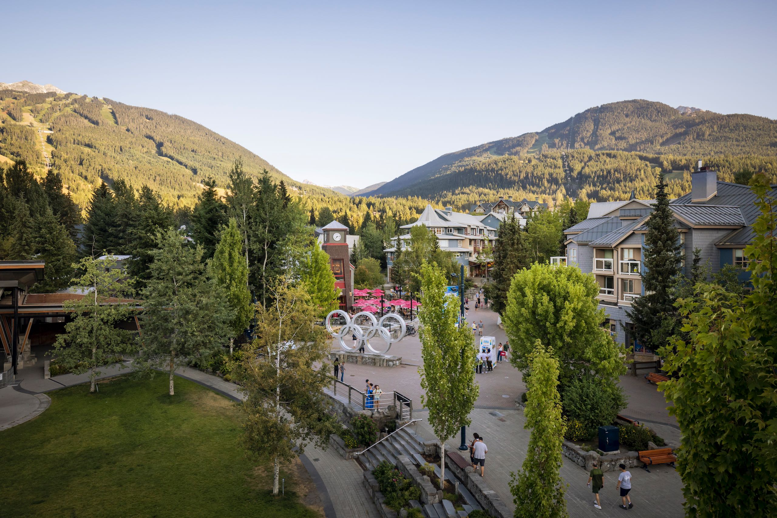
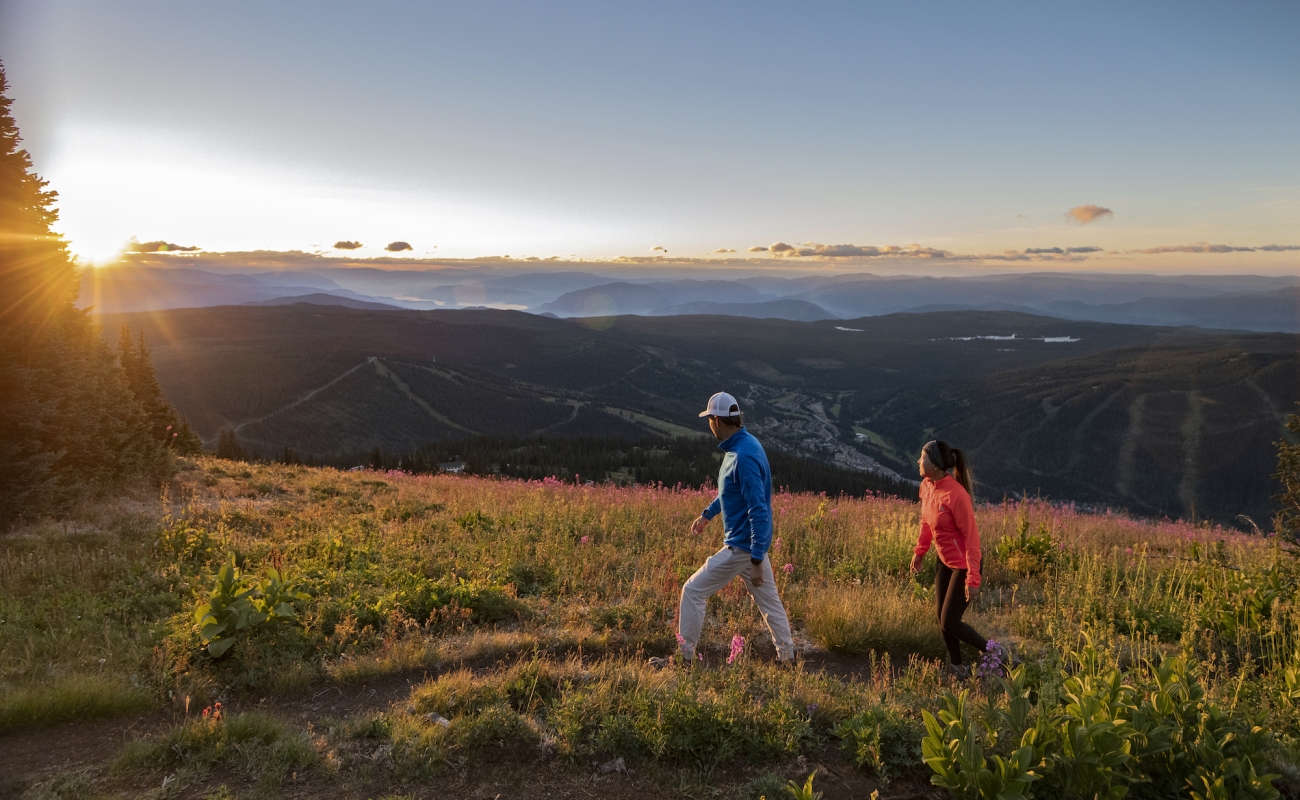
Whistler is a four-season gem where you can indulge in almost any outdoor pursuit. Ziplining through the canopy? Searching for bears with an experienced guide? Strolling around an alpine lake? Whistler has ‘em all, and much, much more.
Part 3
Whistler to Cache Creek
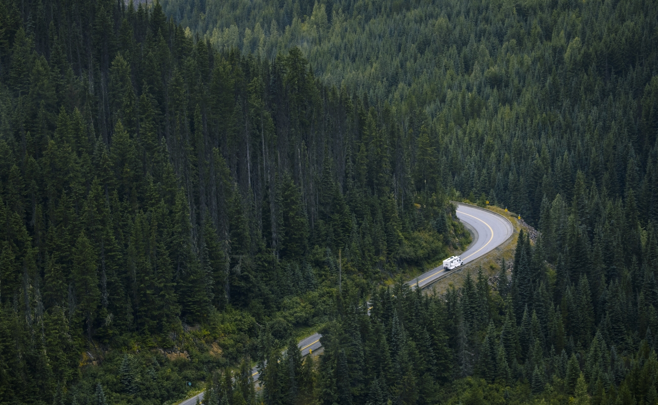
The alpine peaks and forests continue north of Whistler as you wind your way past Pemberton through the rugged Coast Mountains, hugging lakes and fast-moving rivers as you go.
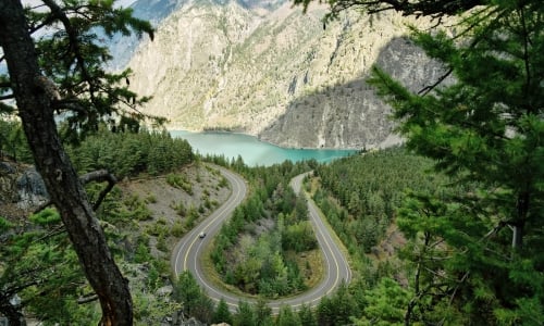
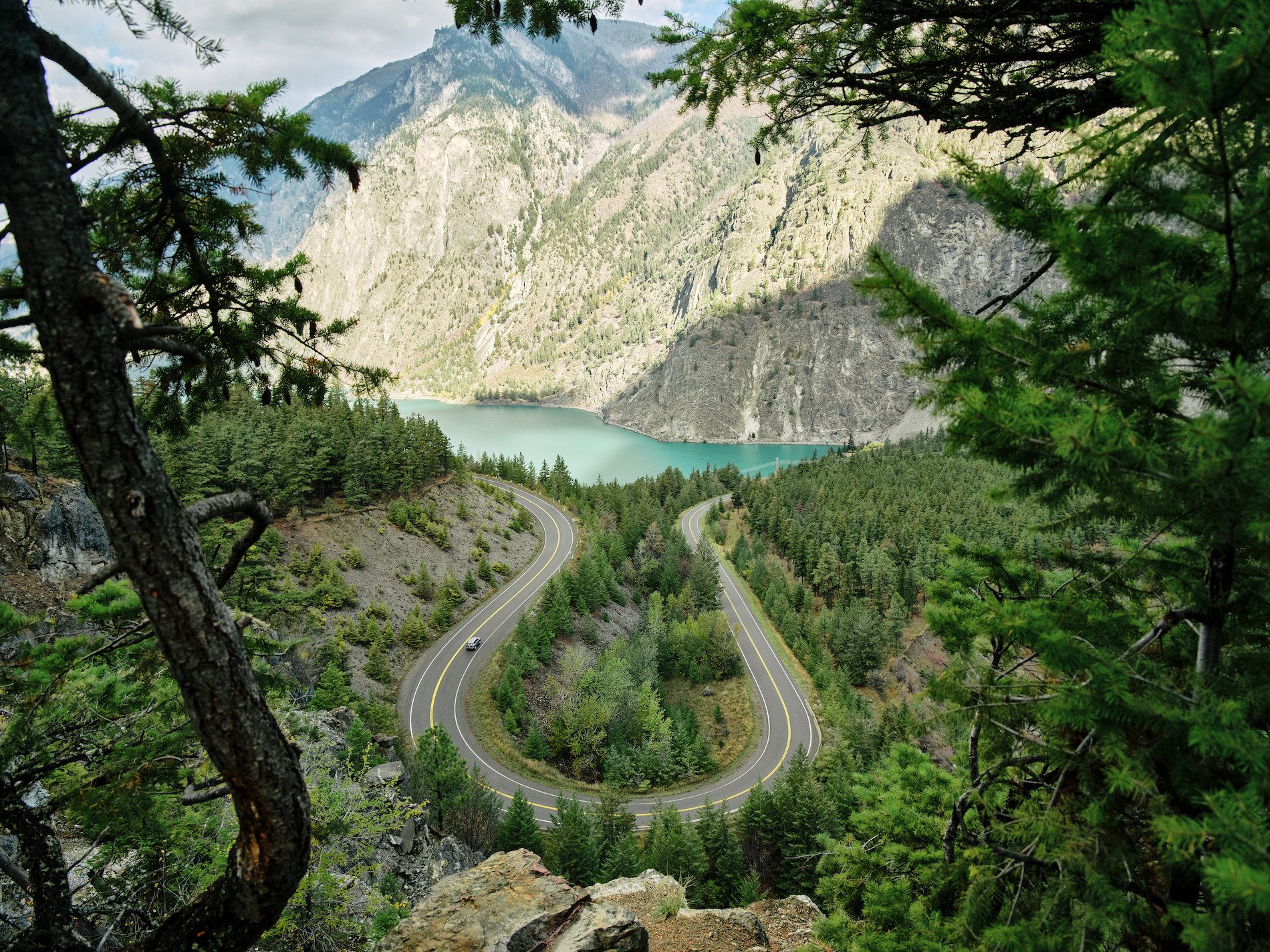
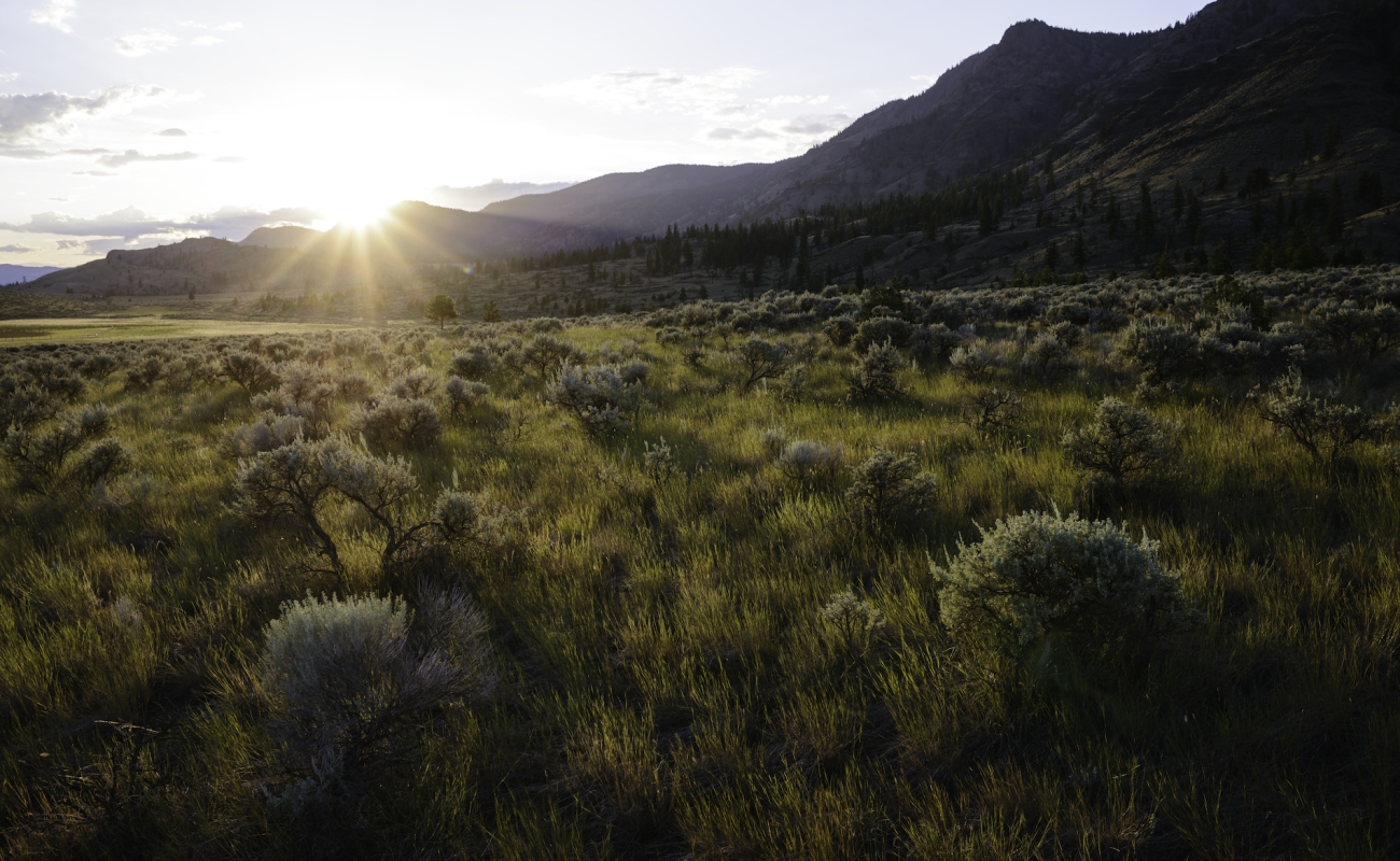
Keep an eye on the landscape as lush rainforest gives way to drier sagebrush and craggy bluffs. (Tip: The hike to the lookout over turquoise Seton Lake is well worth the effort.) Continue on to Lillooet, a community set on the banks of the mighty Fraser River that is steeped in the traditions, culture, and experiences of the St’át’imc peoples.
-
 Seton Lake | Hubert Kang
 -
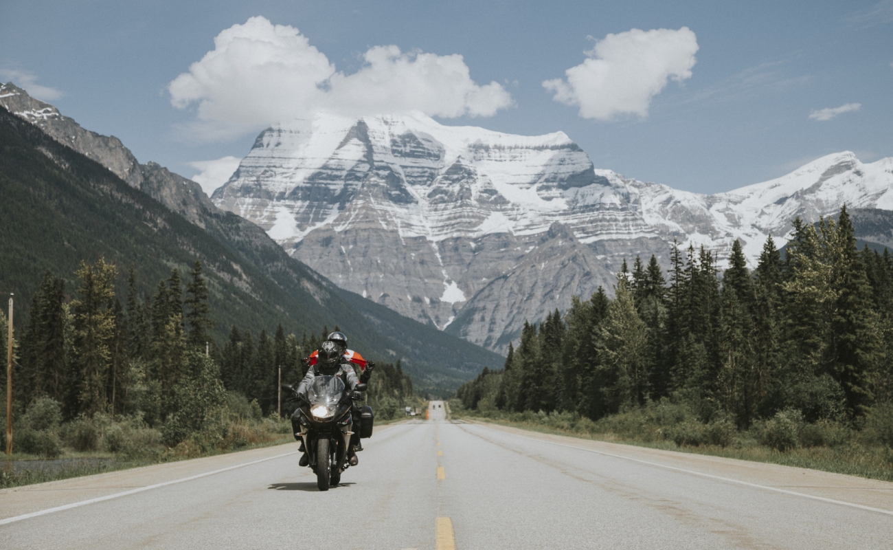
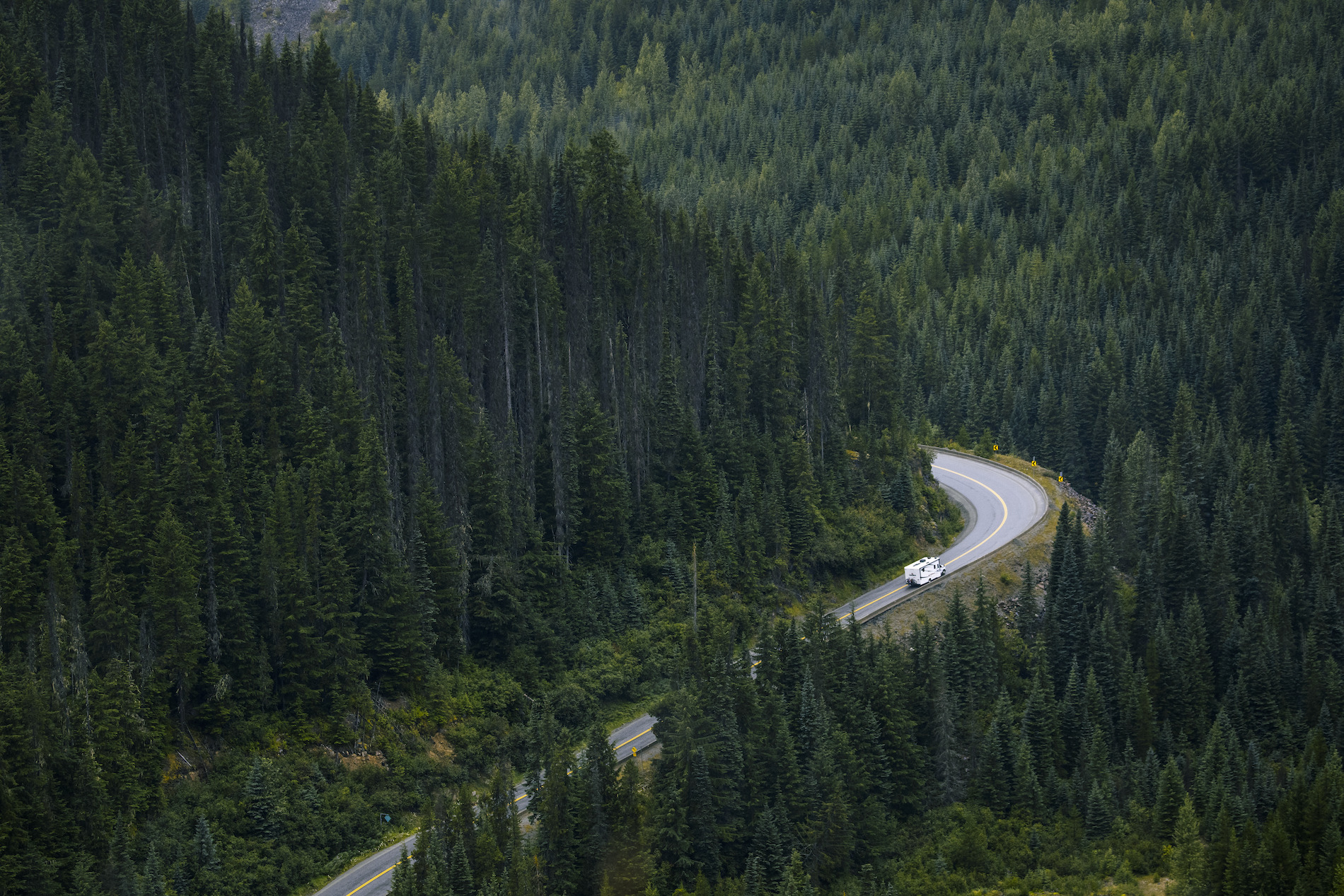 The section of highway north of Whistler is known as Duffey Lake Road. It features thick forests, big-mountain views, and steep switchbacks, and is a favourite route for motorcyclists. Image credit: Duffey Lake Road near Pemberton | Ben Girardi
 -
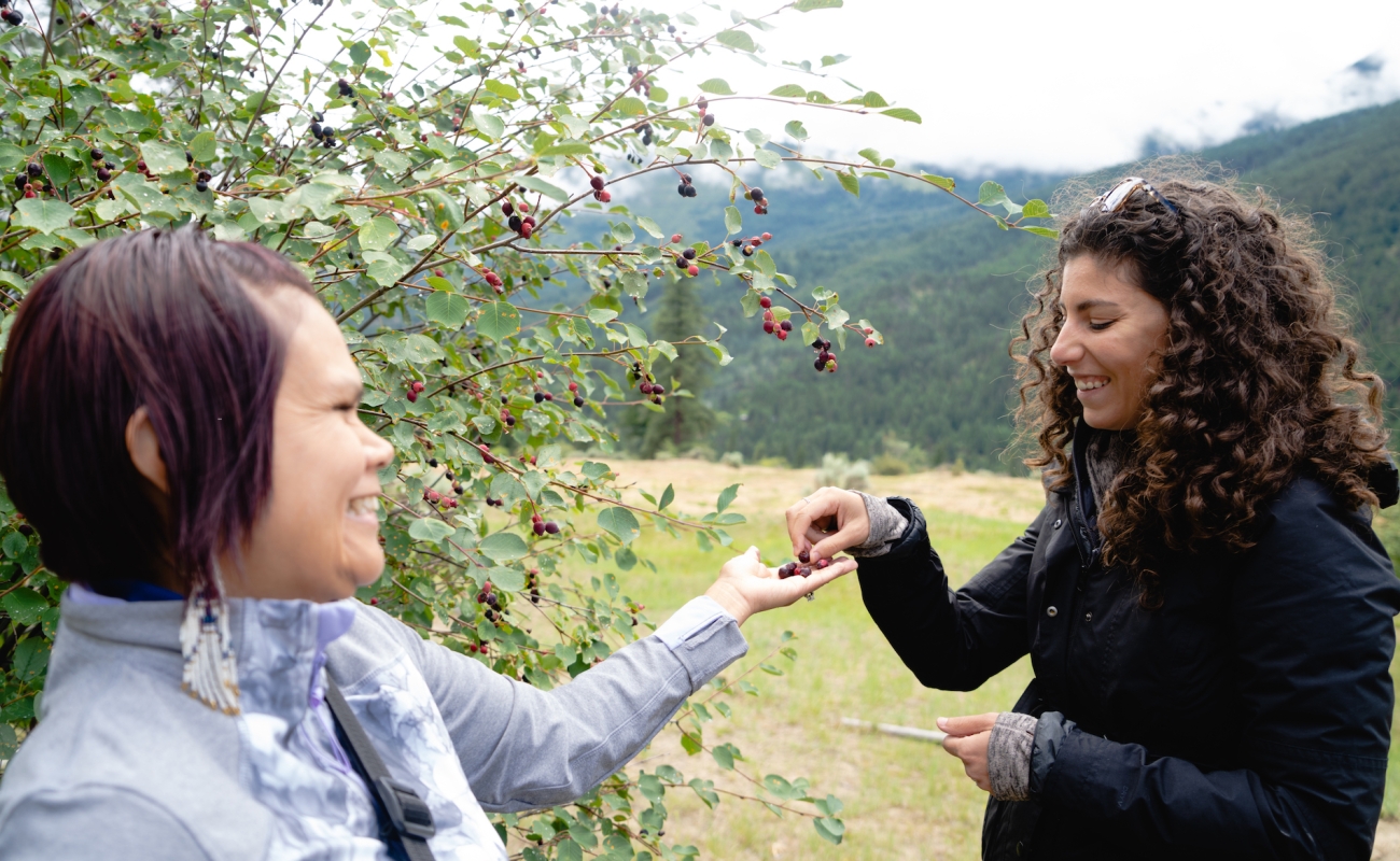
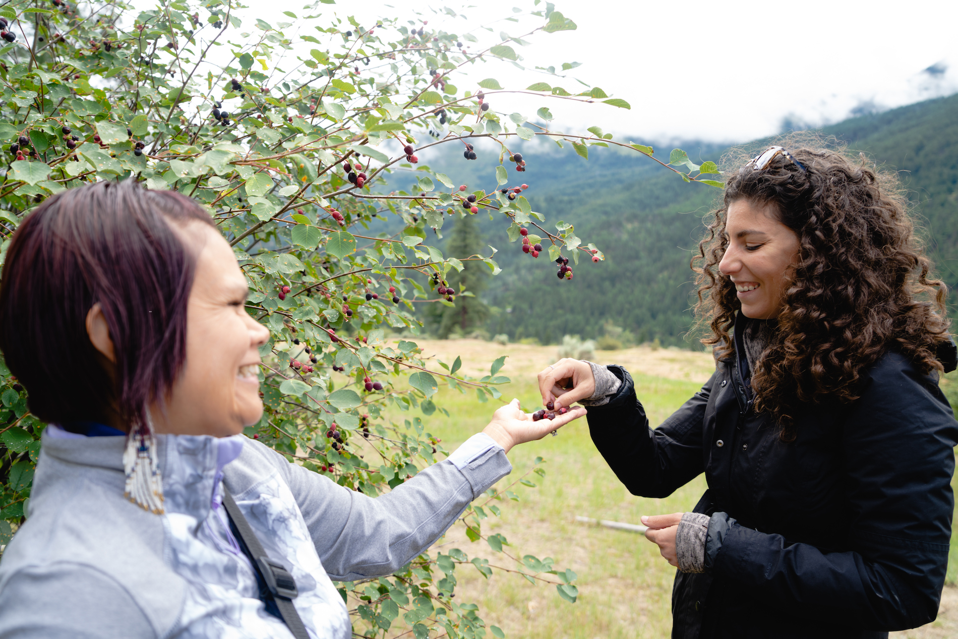 Spend time with Xwisten Experience Tours in Lillooet for insight into the many ways Indigenous communities have been inextricably linked to the land, the water, and the wildlife for millennia. Image credit: Xwisten Experience Tours | Cariboo Chilcotin Coast/Jonny Bierman
 -
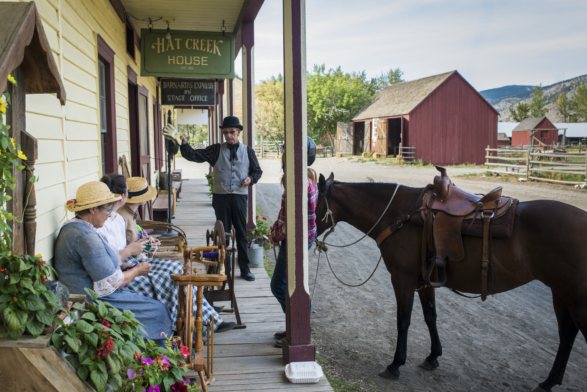 At Historic Hat Creek Ranch, home to an 1860s gold rush roadhouse, hear stories of the McLean family who founded the ranch and the many fortune seekers who passed through. You can also explore a reconstructed Shuswap Village at the ranch’s Indigenous Interpretation Site. Image credit: Historic Hat Creek Ranch | Blake Jorgenson
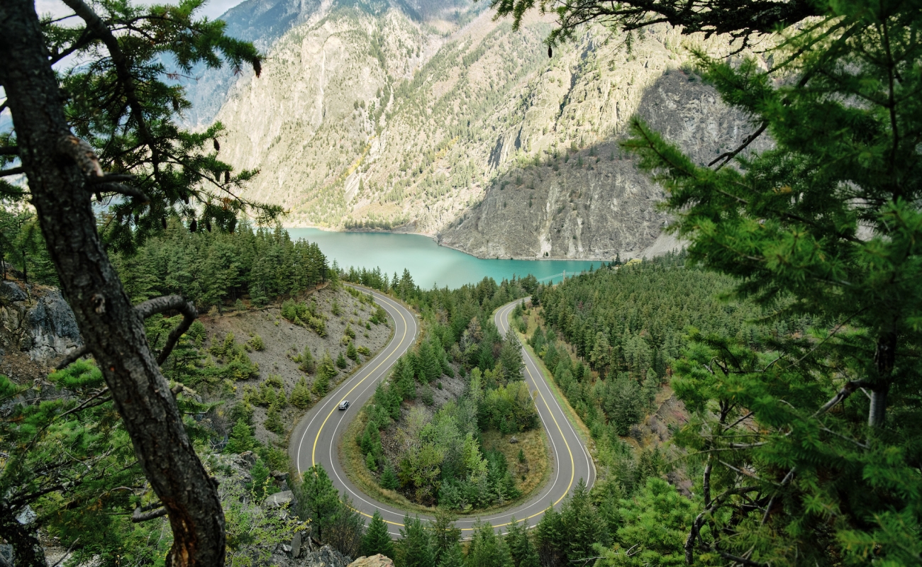

Beyond Lillooet, the terrain morphs into canyon country, including Marble Canyon Park with its limestone cliffs and crystal-clear lakes, perfect for paddling.
Part 4
Cache Creek to Kamloops
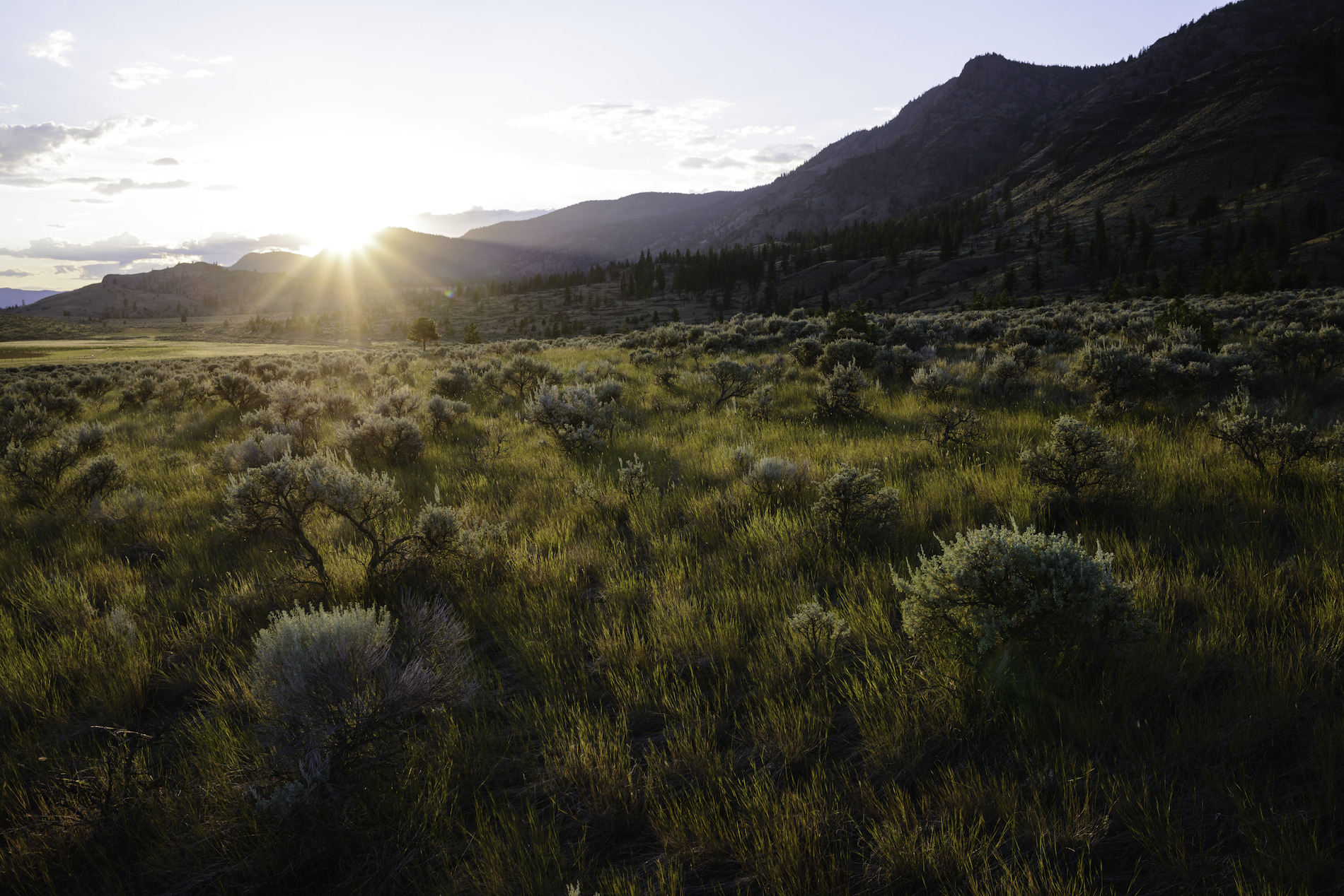
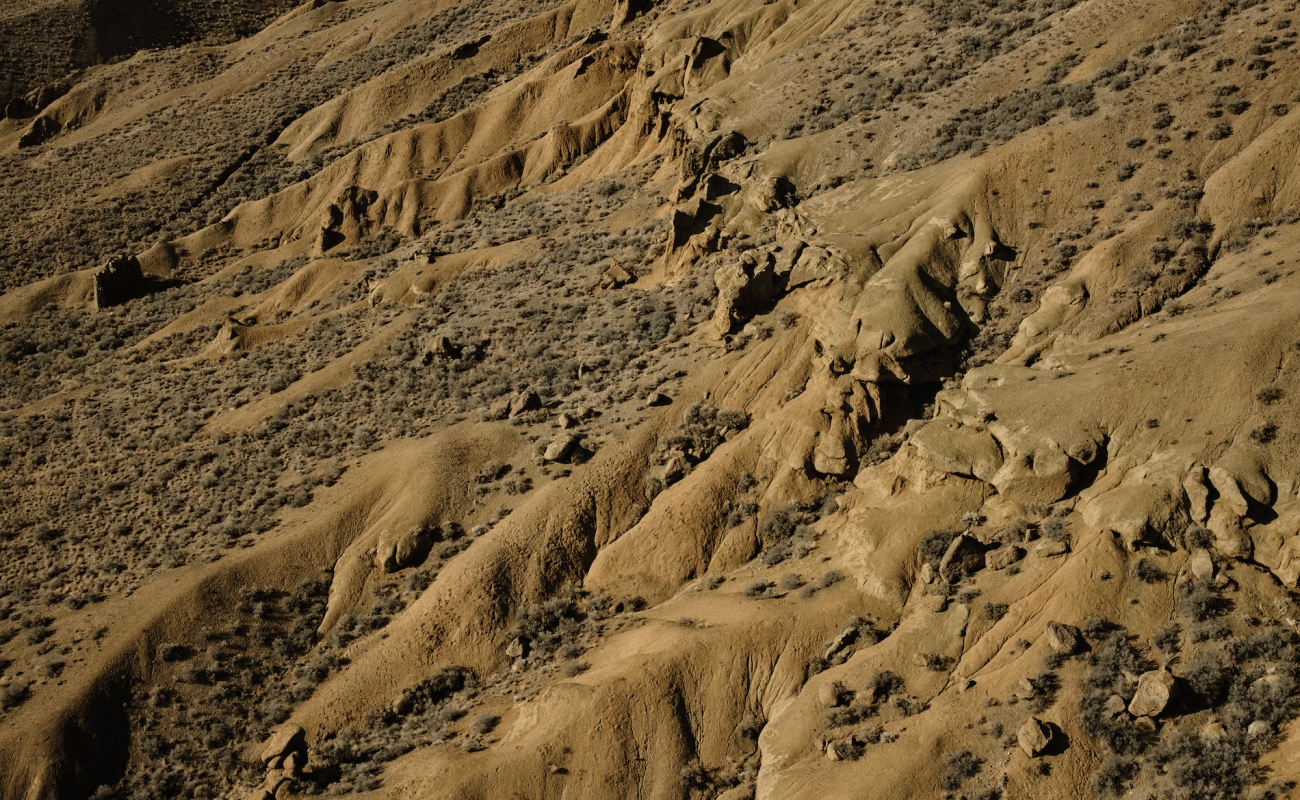
As you make your way east along Highway 1, the peaks of the Coast Mountains and the sheer canyon walls along the Fraser River give way to a rolling, desert-like landscape of sagebrush and hoodoo rock formations.
-
 Battle Bluffs in Kamloops | Jordan Dyck
 -
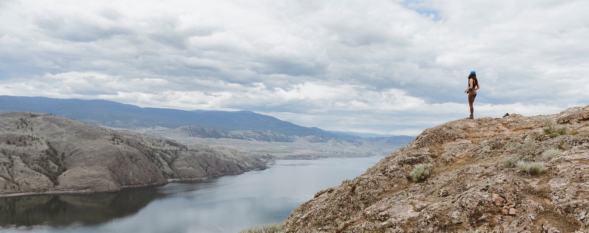
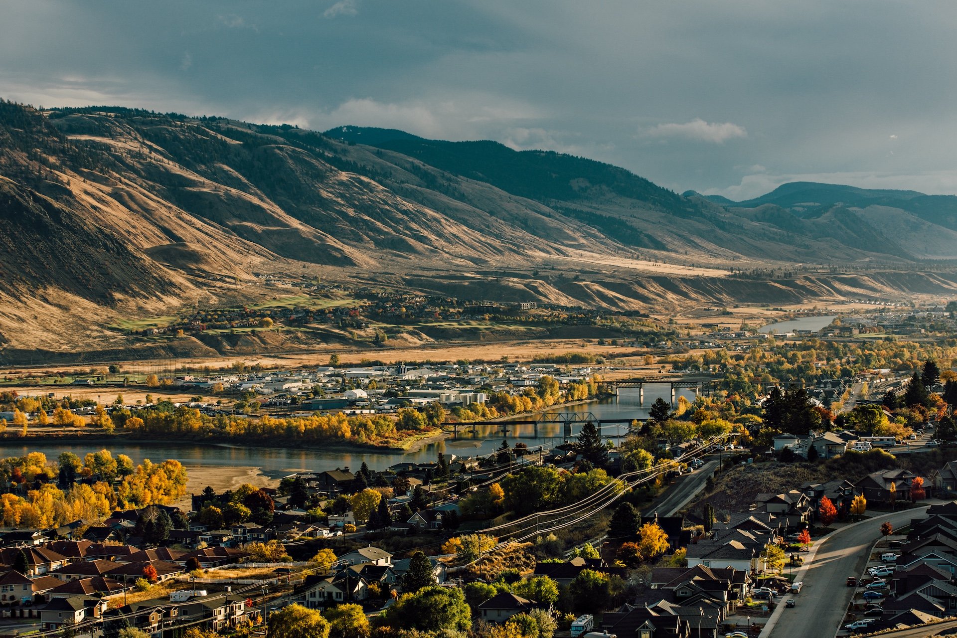
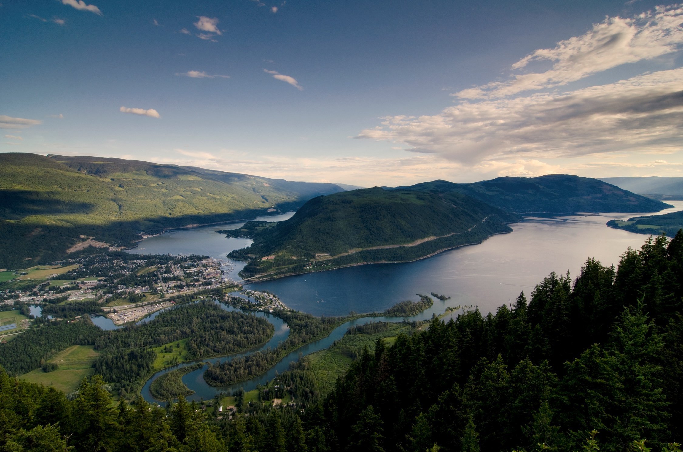
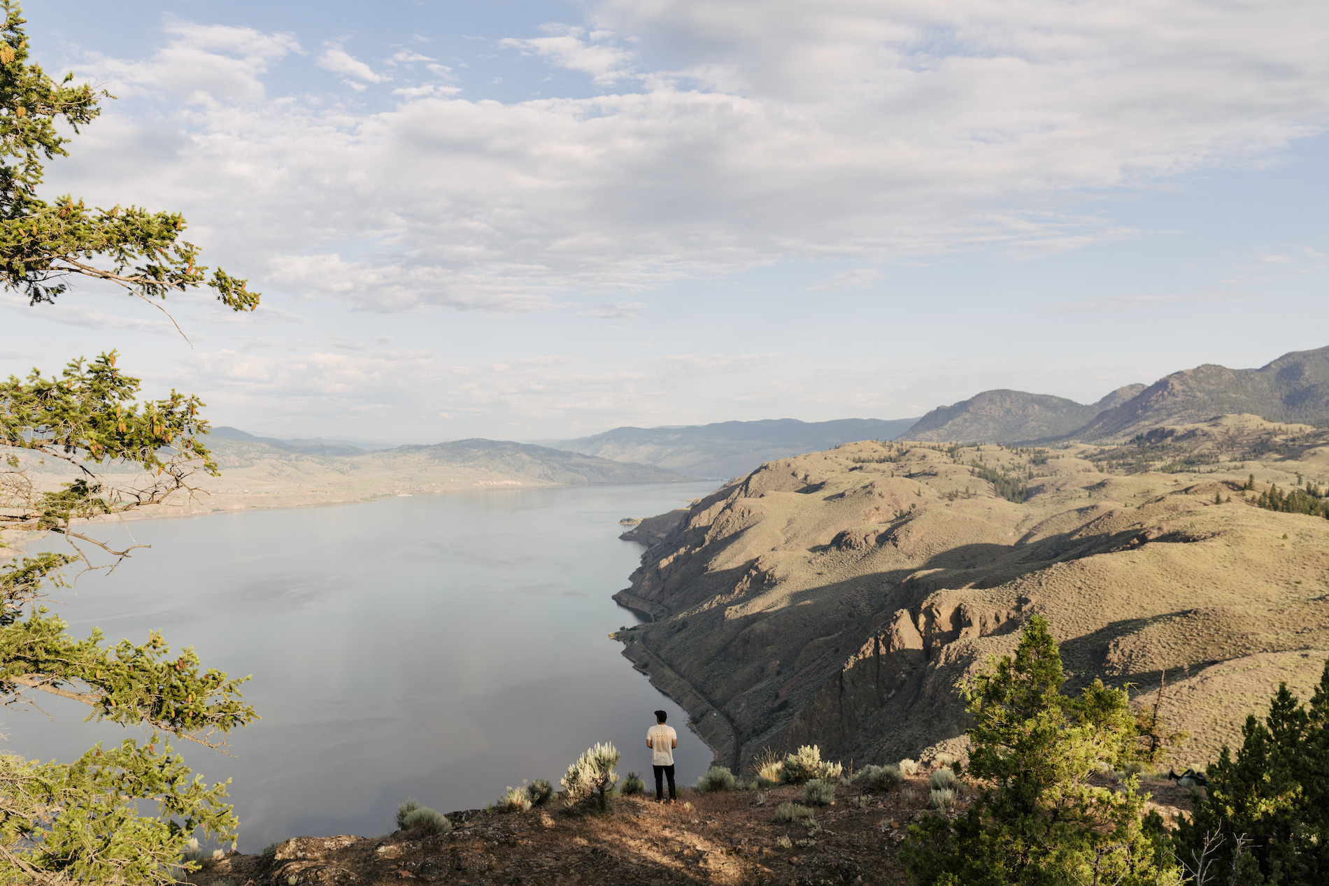
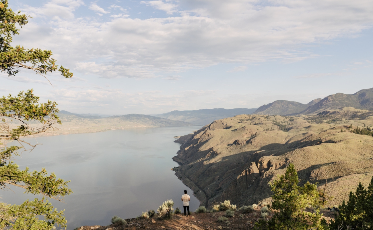
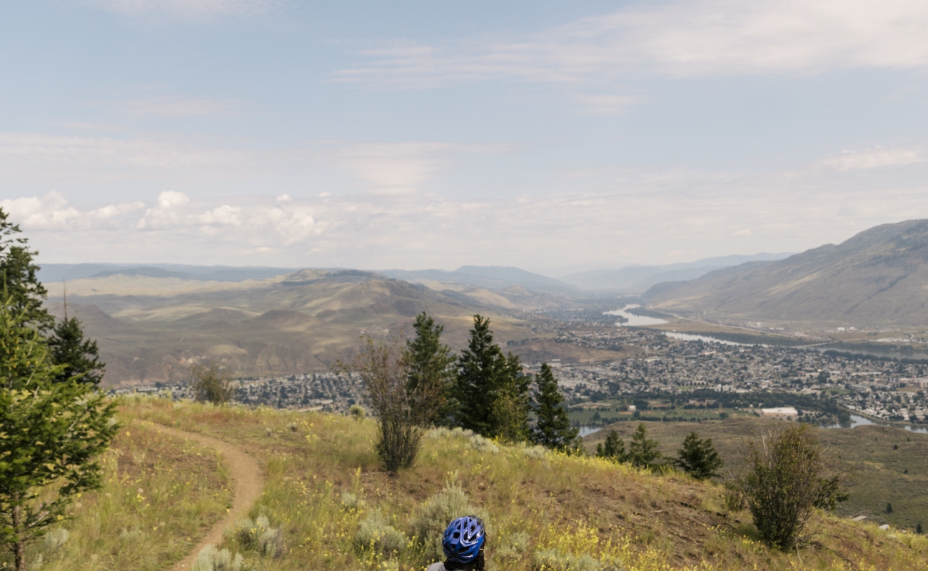
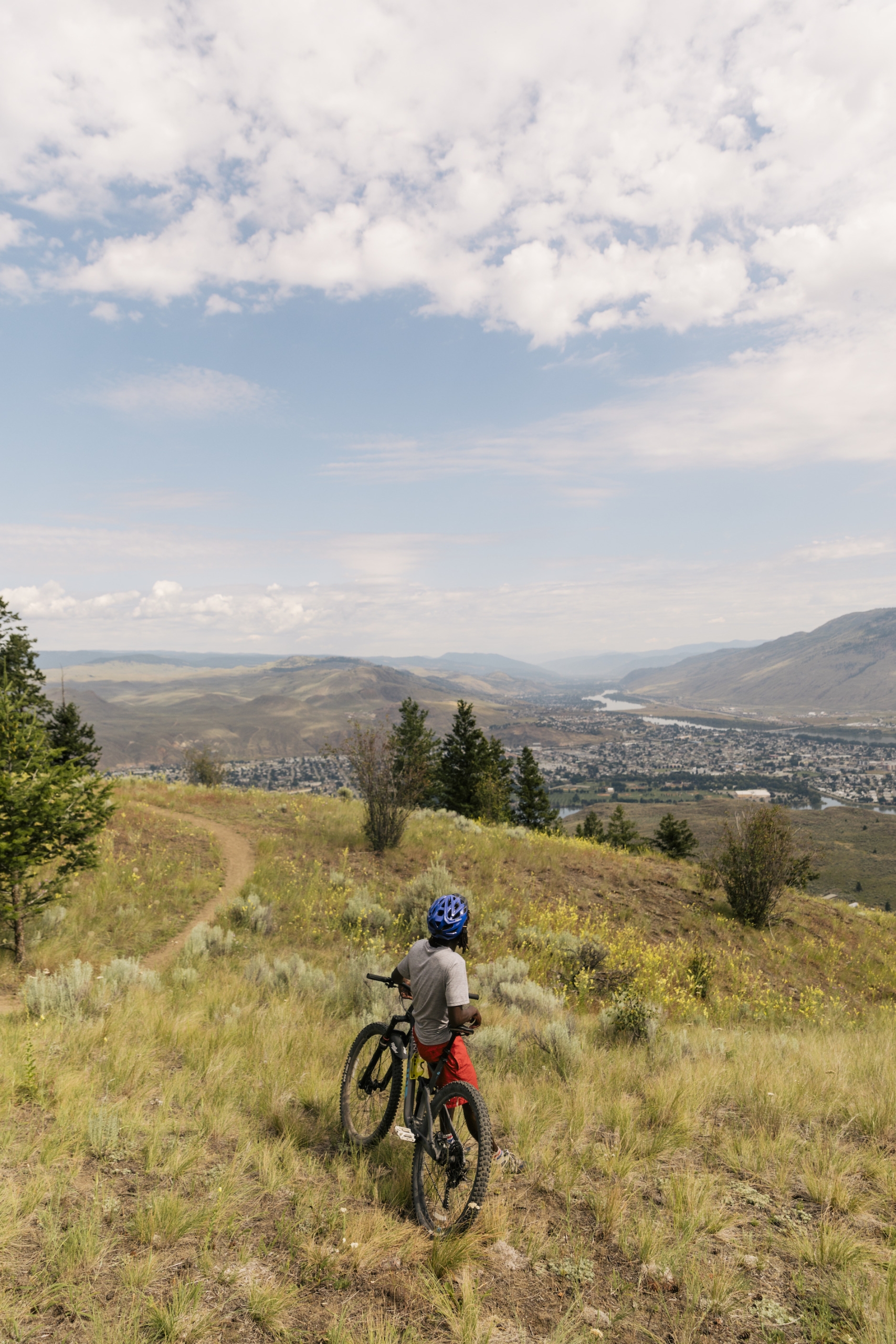 As you drive past Kamloops Lake, you'll notice the surrounding rocky bluffs—the perfect place to hike and take some frame-worthy pictures. This 29-kilometre-long lake is a hotspot for rainbow trout fishing and boating. Kamloops itself is the second-largest city in BC’s Interior. In addition to myriad outdoor opportunities, it's home to some great spots to enjoy a craft beer on a sunny patio. Image credit: Kenna Cartwright Nature Park overlooking Kamloops | Jordan Dyck
 -
 Cross a bridge to the north side of the city and you’ll find sprawling grasslands. Watch for bighorn sheep and mule deer at Lac du Bois Grasslands Protected Area. Image credit: Lac du Bois Grasslands | Andrew Strain
 -
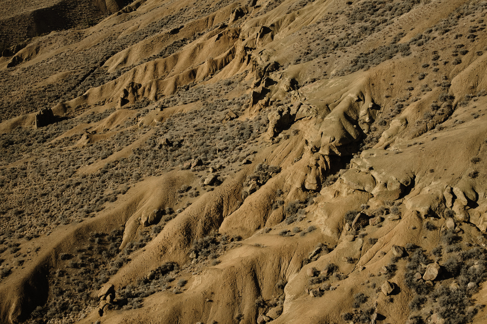 And keep an eye out for unique rock formations called hoodoos. These thin rock spires, formed over time by erosion, can be found along Cinnamon Ridge Trail, part of the protected area. Mind the cactus! Image credit: Cinnamon Ridge | Hubert Kang
The rich tones and more muted colour palette offer a different kind of drama as you make your way to where the North and South Thompson rivers meet to form Kamloops Lake.
Part 5
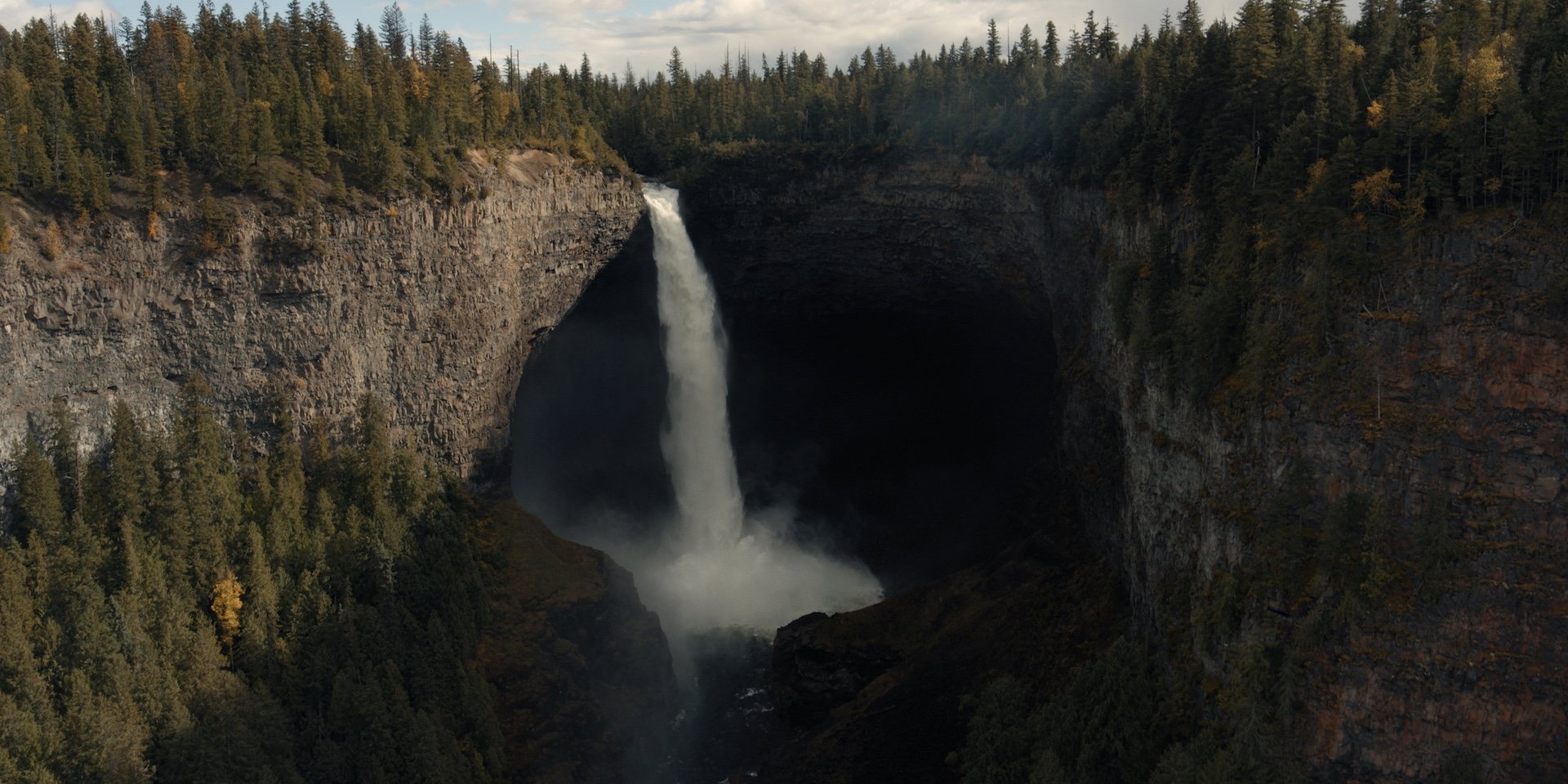
Kamloops to Clearwater
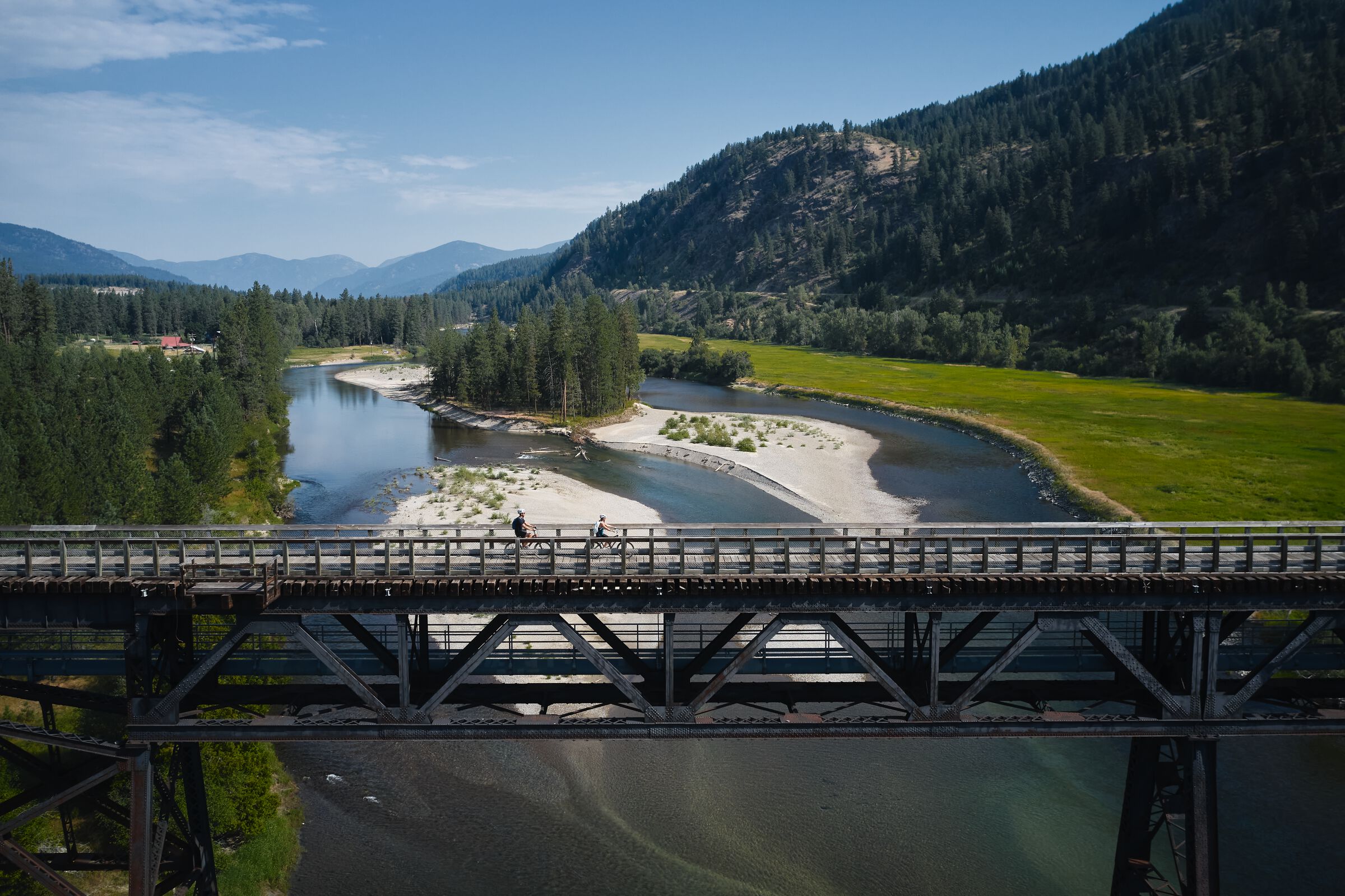
North of Kamloops, Highway 5 (a.k.a. the Yellowhead Highway) follows the twists and turns of the North Thompson River past rolling ranchland scenery toward Wells Gray Provincial Park, one of BC’s biggest and most diverse provincial parks.
-
 Helmcken Falls | Andrew Strain
 -
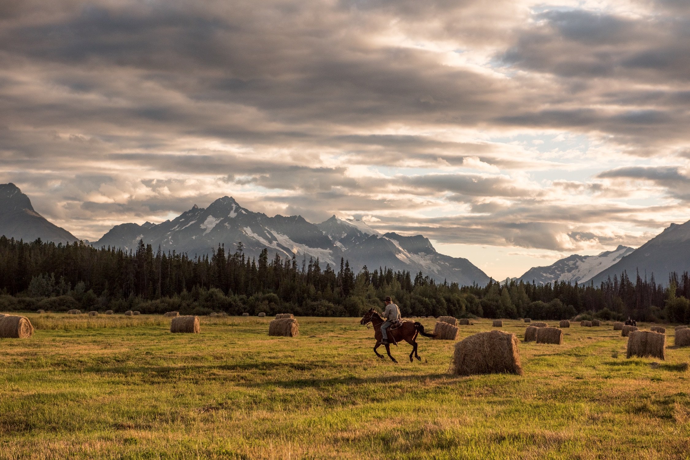
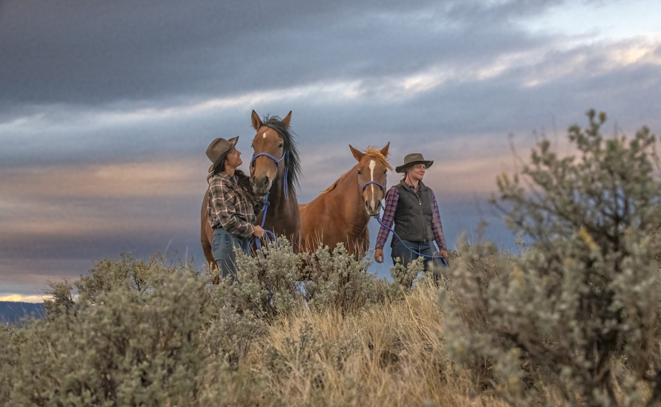
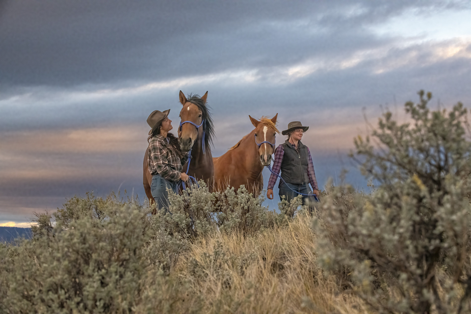 As you travel through BC's interior, a stay at a guest ranch is just the thing to help you tap into your inner cowpoke. Image credit: Sundance Guest Ranch in Ashcroft | Cariboo Chilcotin Coast/Michael Bednar
 -
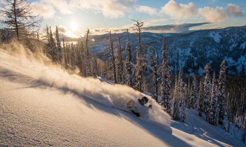
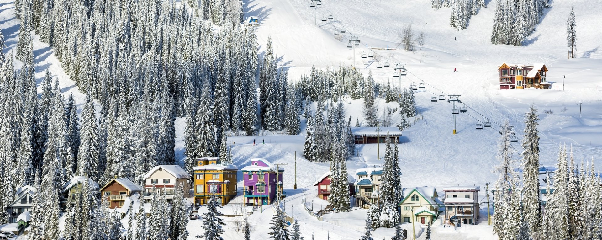
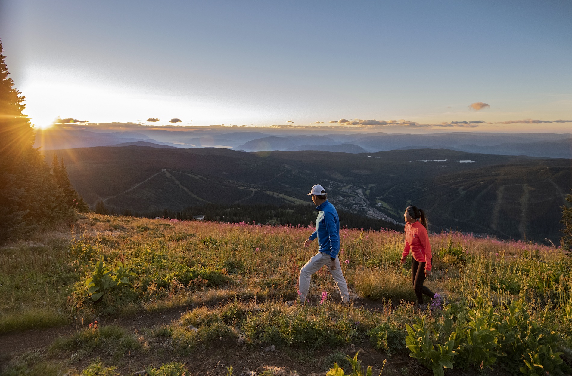 As you leave Kamloops, consider a detour to the all-season Sun Peaks Resort for lift-accessed mountain biking and alpine hiking in summer, and shredding the country’s second-largest ski area in the winter. Image credit: Sun Peaks Resort | Tourism Sun Peaks/Kelly Funk
 -
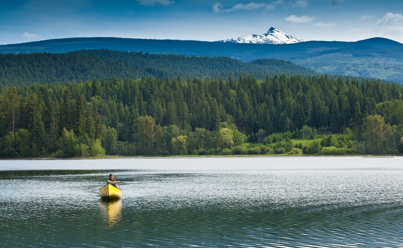
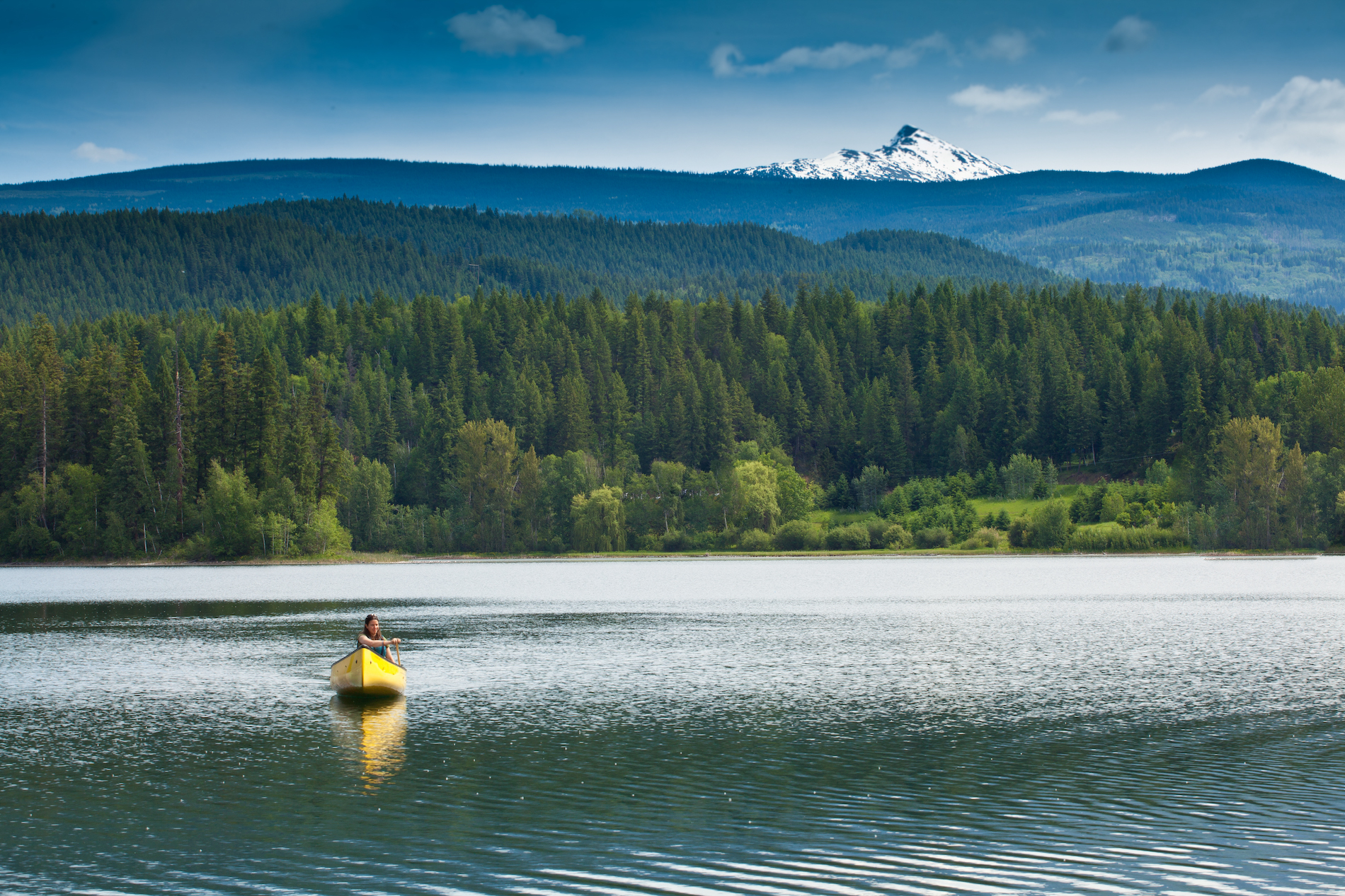 And in Wells Gray Provincial Park, four-legged residents such as black and grizzly bears, moose, caribou, and wolves reign. Local guiding companies will arrange everything from hiking and horseback riding to canoeing and whitewater rafting. Image credit: Canoeing on a lake near Wells Gray | Thompson Okanagan/Allen Jones
Clearwater is known as the gateway to Wells Gray. Think big when you plan your activities here, and allow lots of time. The park’s defining topographical features include waterfalls and mineral springs, lava beds, and extinct volcanoes.
Part 6
Clearwater to Mount Robson
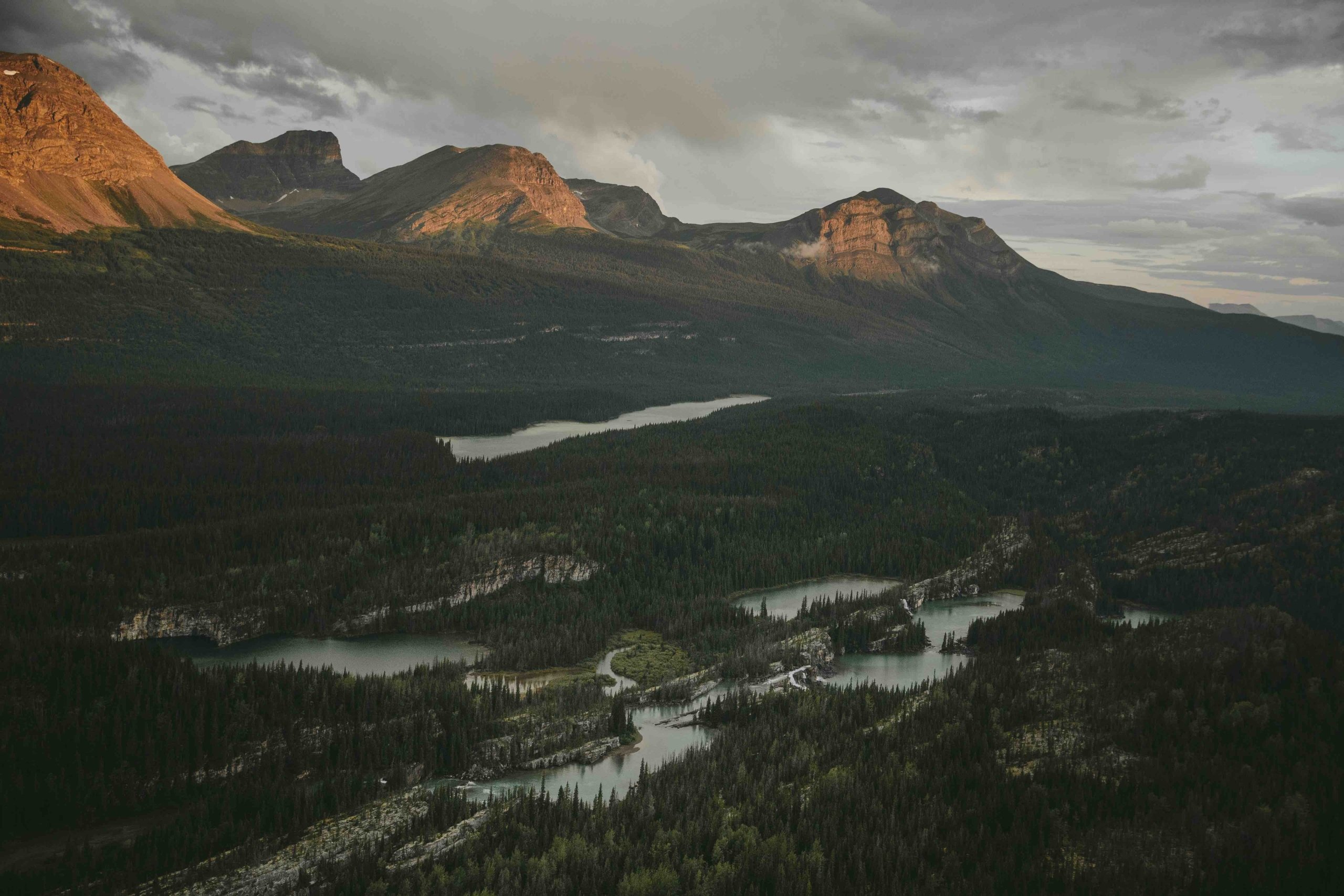
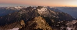
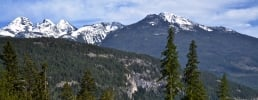
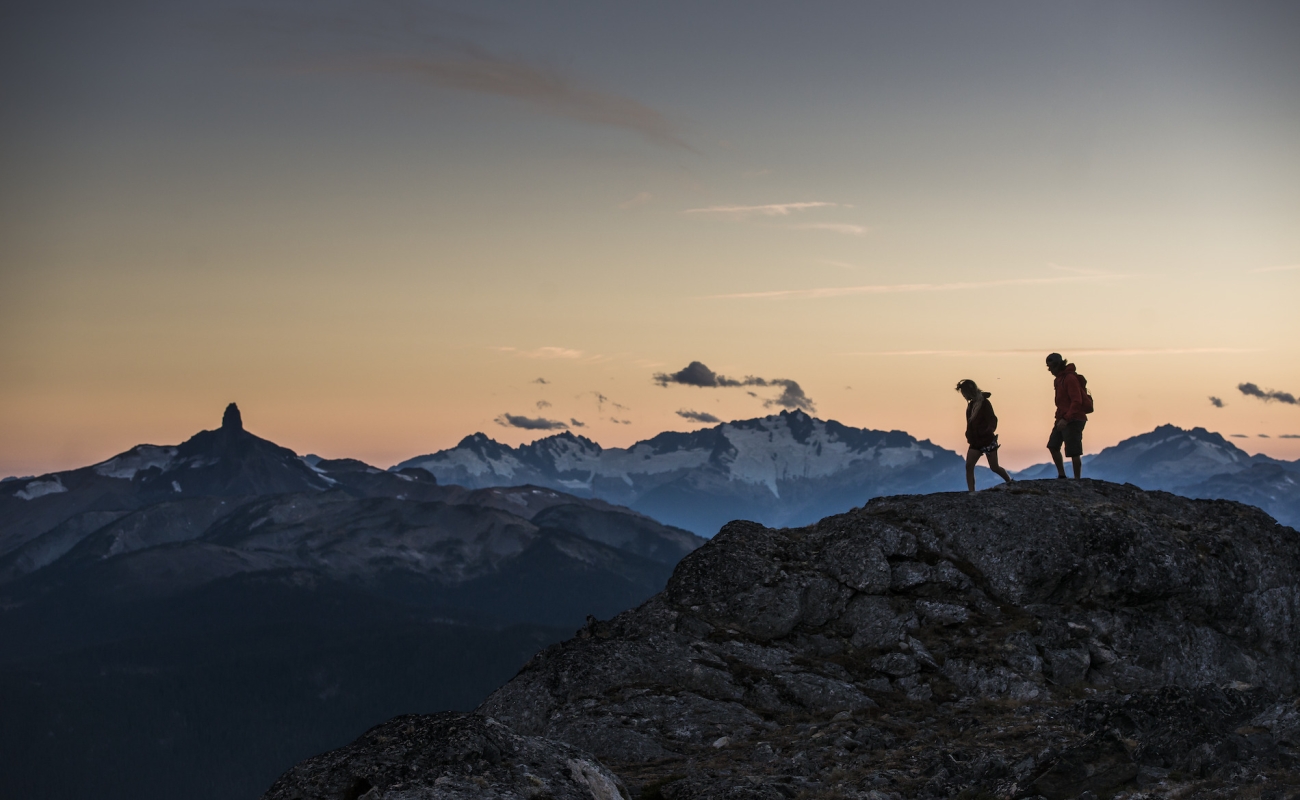
Just when you think the landscape can’t hold any more surprises, point your car in the direction of Mount Robson, the tallest peak in the Canadian Rocky Mountains.
-
 Mount Robson Provincial Park | Megan McLellan
 -
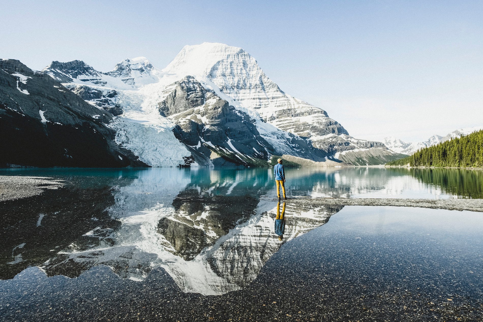
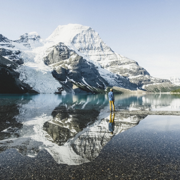
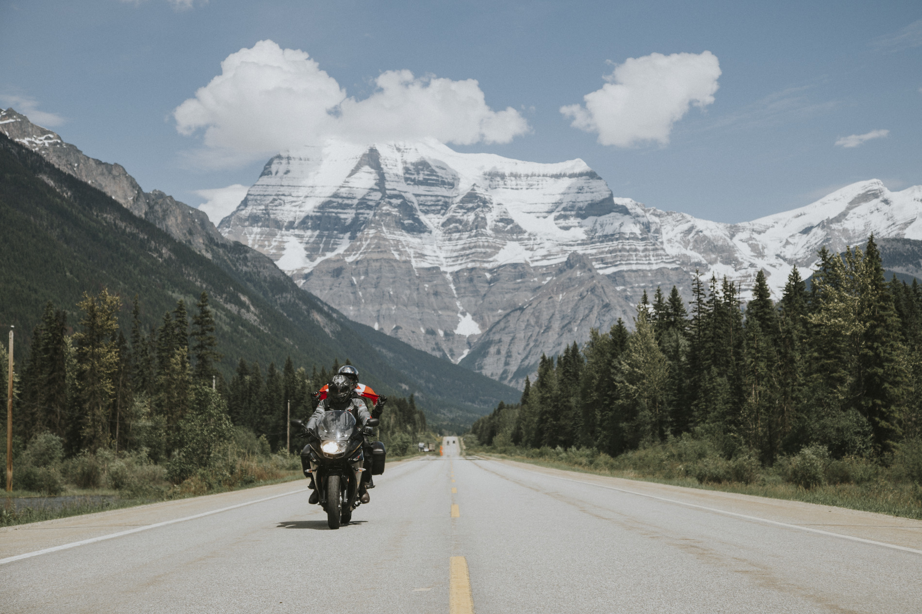 Mount Robson, with its peak elevation of 3,954 m, looms large as you approach the Canadian Rockies. Image credit: Route 16 to Mount Robson | Jongsun Park
 -
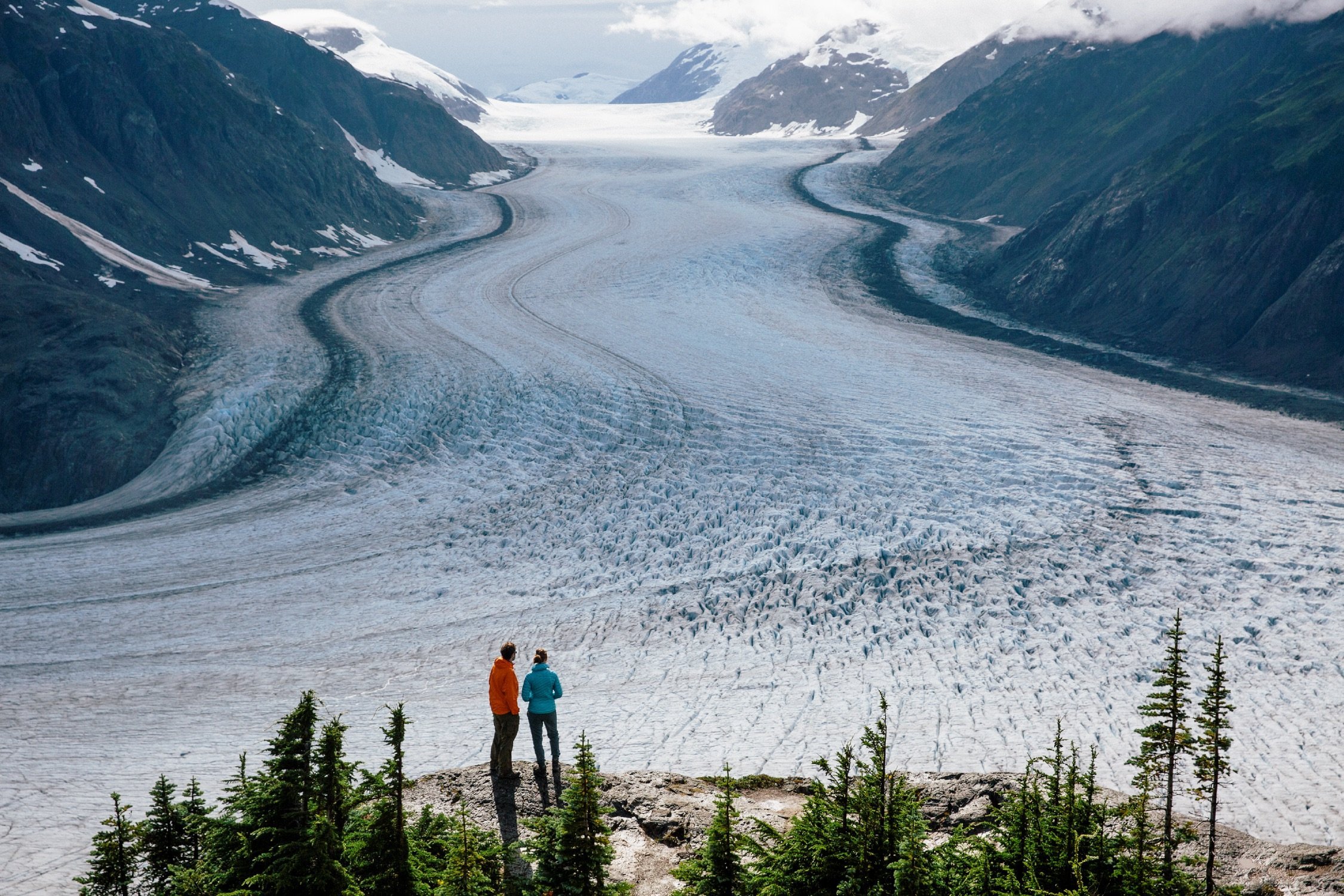
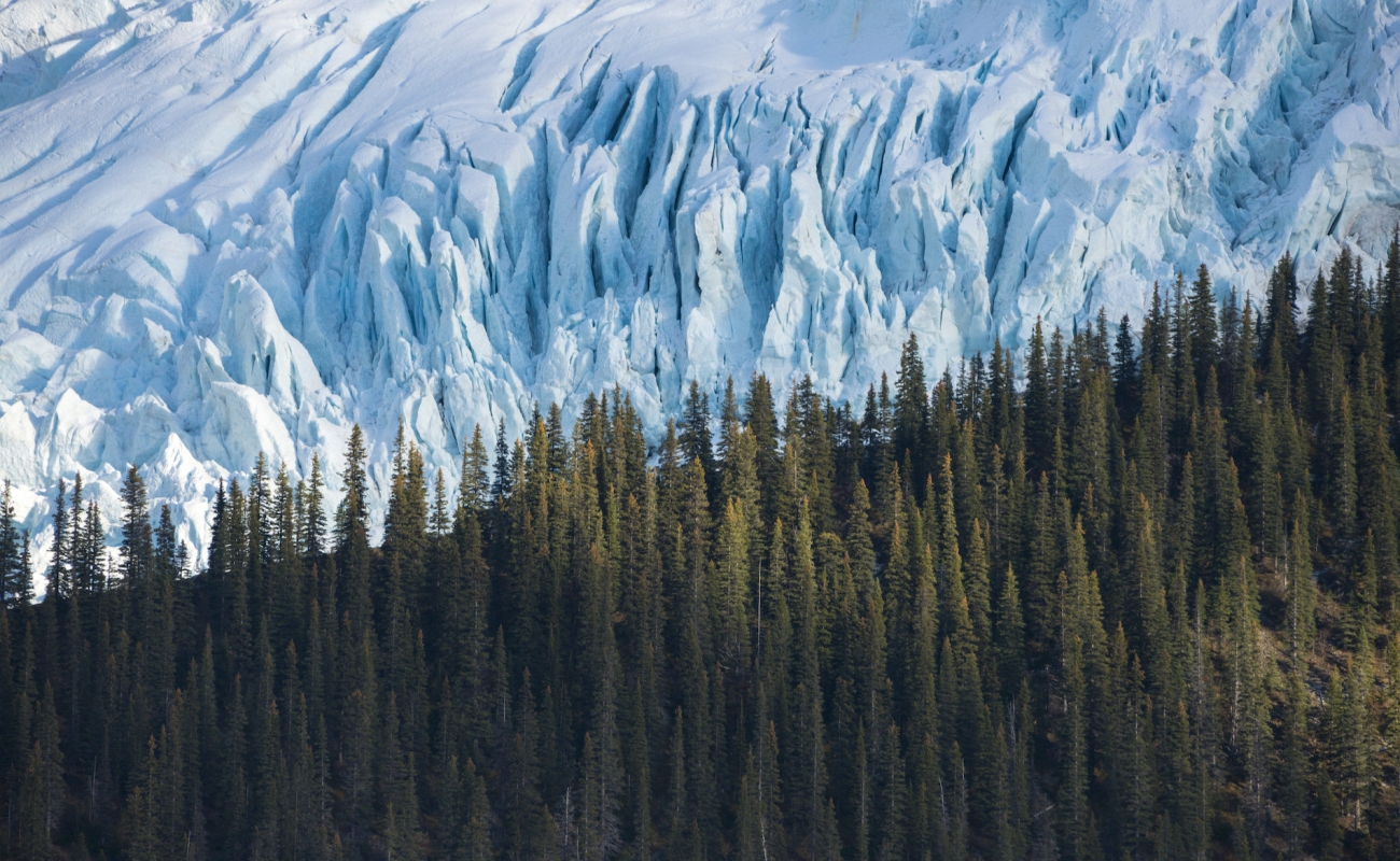
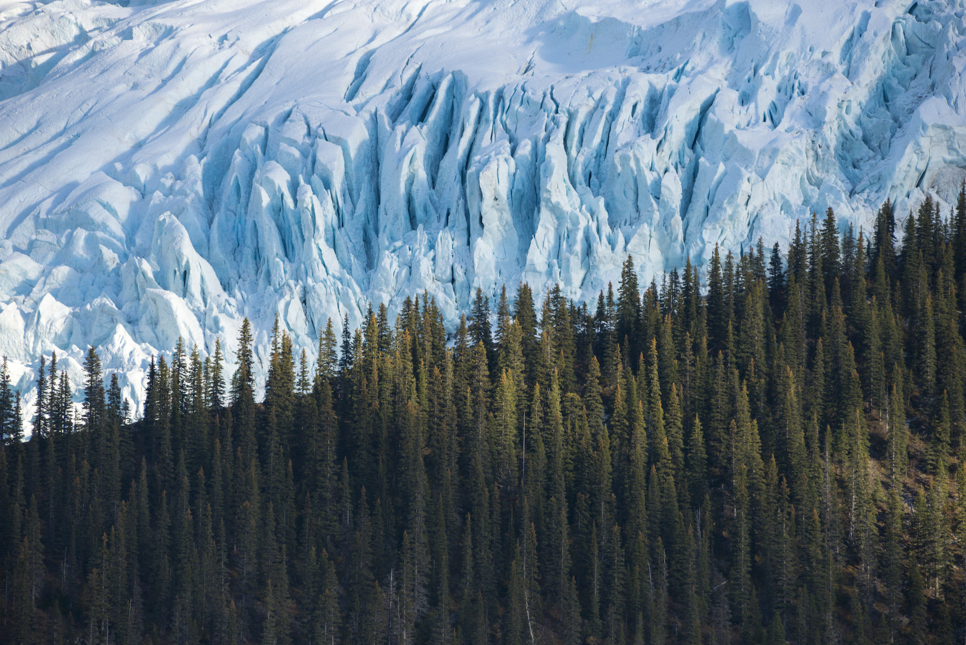 The deep green of the forest starkly contrasts the blue-white of the park's massive glaciers. Image credit: Near Berg Lake in Mount Robson Provincial Park | Steve Ogle
 -
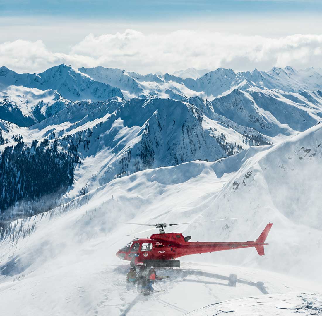
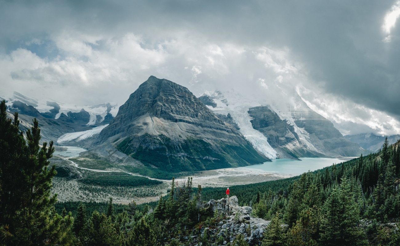
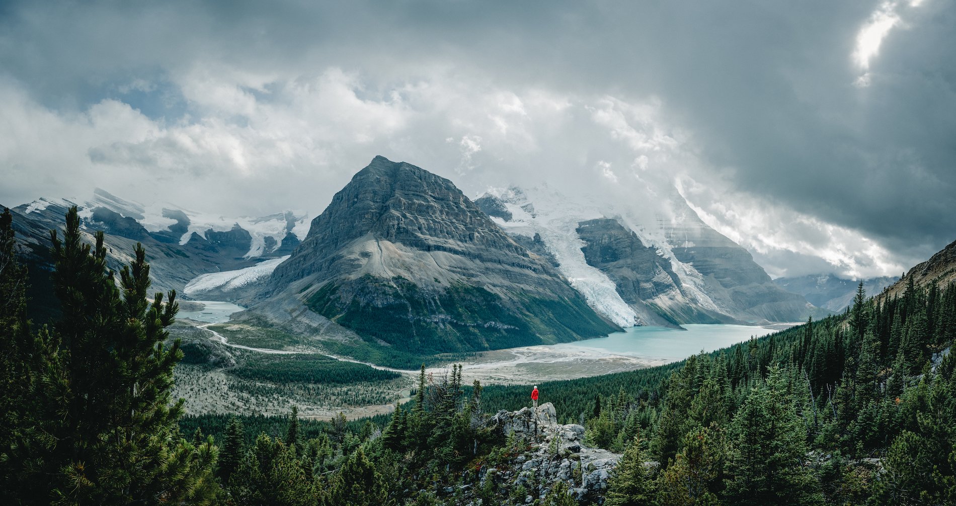 If carrying your food and accommodation on your back is not for you, book a helicopter ride and see the park and the peaks from the air. This rarified view will have been shared by many of the nearly 200 bird species documented in the park. Image credit: Berg Lake and Mount Robson | Owen Perry
The second provincial park to be established in BC, Mount Robson is part of the UNESCO Canadian Rocky Mountain Parks, recognized for their exceptional natural beauty. These parks are true stunners.
Part 7
Mount Robson
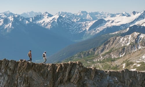
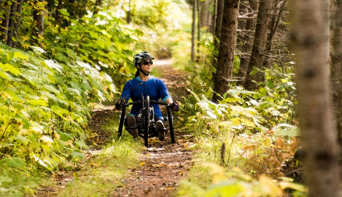
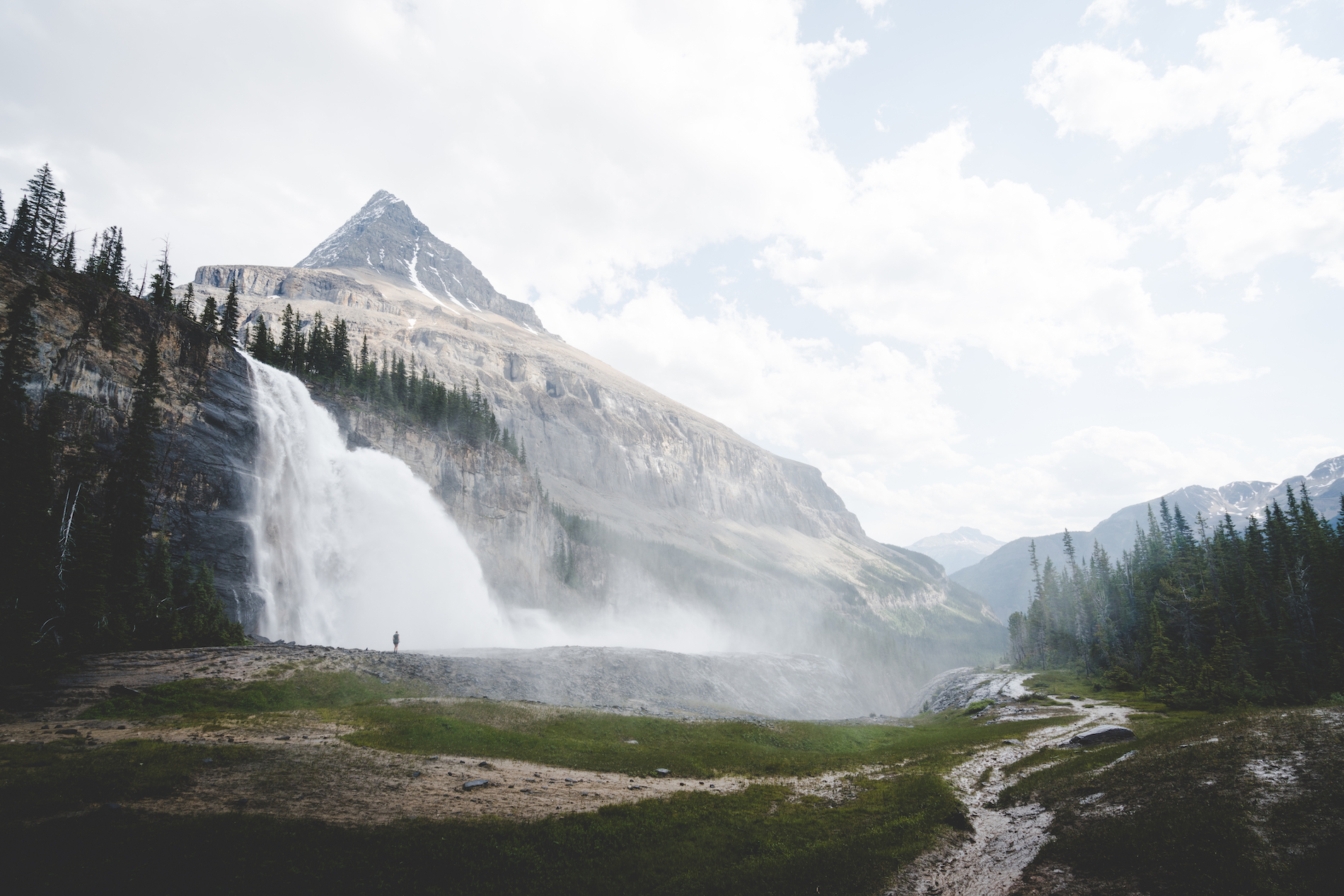
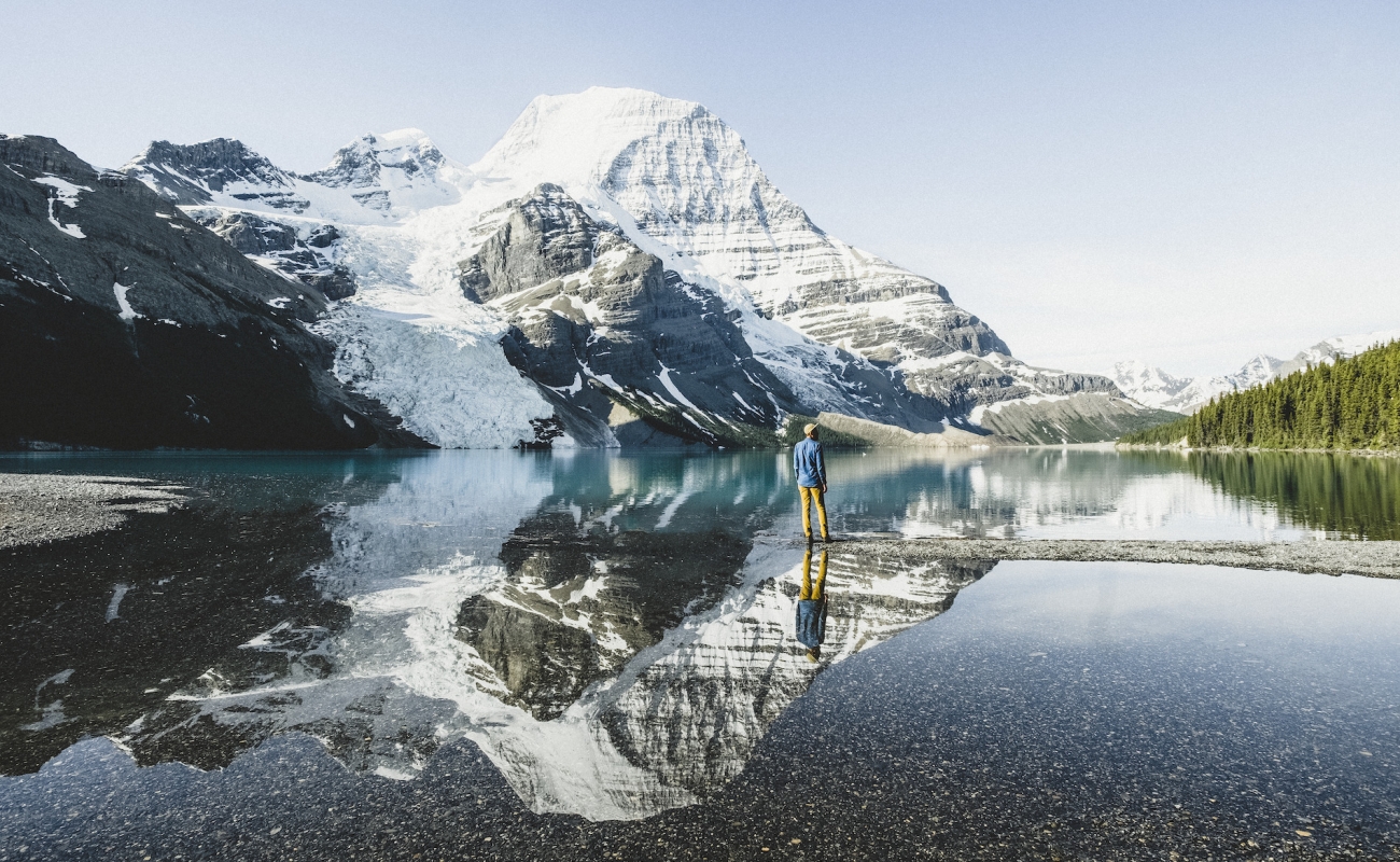
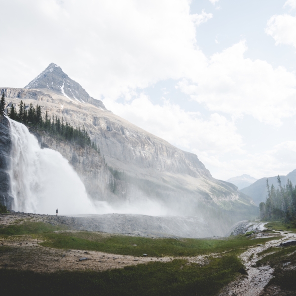
Perhaps the most popular spot to take in views of the peak is the startlingly blue, glacier-fed Berg Lake. Access the lake via a multi-day backcountry hiking route past waterfalls and alpine lakes. Insider tip: Reservations for this bucket-list trip go fast, so you’ll want to book well in advance. (Check with the local Visitor Centre before you plan your trip, as Berg Lake Trail is currently inaccessible while the trail undergoes repair work.)
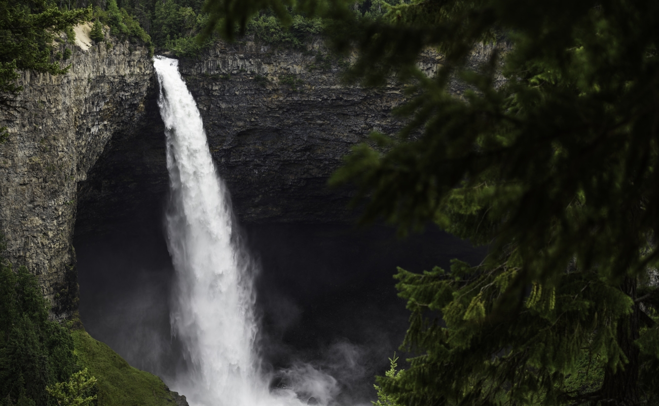
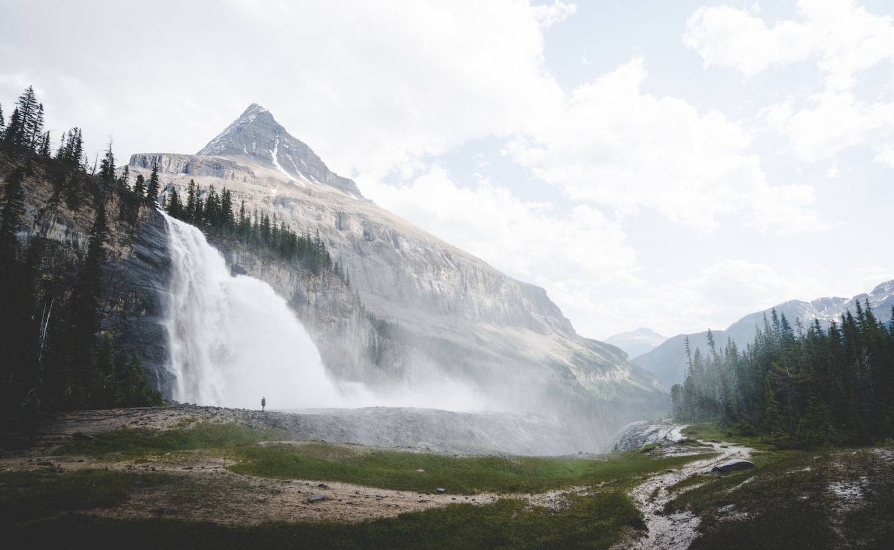 Emperor Falls in Mount Robson Provincial Park | Brayden Hall
 By the time you reach the end of your journey, chances are you’ll find yourself planning your return to BC. After all, in a place this big—with 10 mountain ranges, more than 25,000 km of coastline, and 25% of the world’s temperate rainforest—you will have just scratched the surface.
Header image: Emperor Falls in Mount Robson Provincial Park | Brayden Hall
Coast Mountain Circle Route
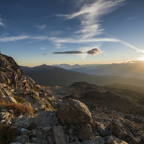
4-6 Days695 km | 431 miWitness the powerful effects of nature on this picturesque route through diverse mountain landscapes, starting and ending in Vancouver.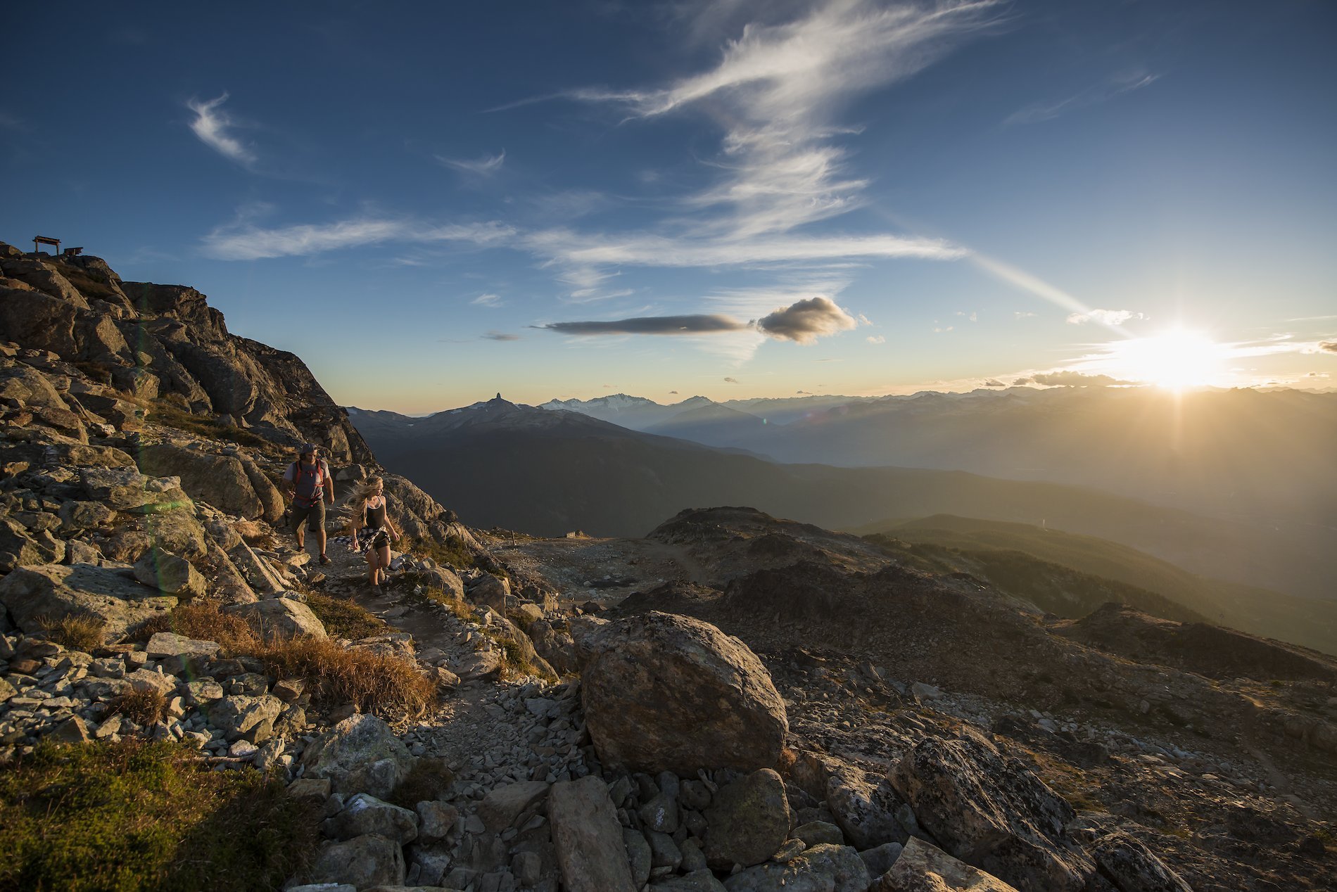 High Note Trail, Whistler Mountain |
Blake Jorgenson
High Note Trail, Whistler Mountain |
Blake Jorgenson Crowsnest Highway 3 to the Canadian Rockies
7-10 Days1035 km | 643 miThis epic journey from Vancouver to Fernie via Crowsnest Highway reveals spectacular BC scenery and memorable detours for culture buffs and foodies.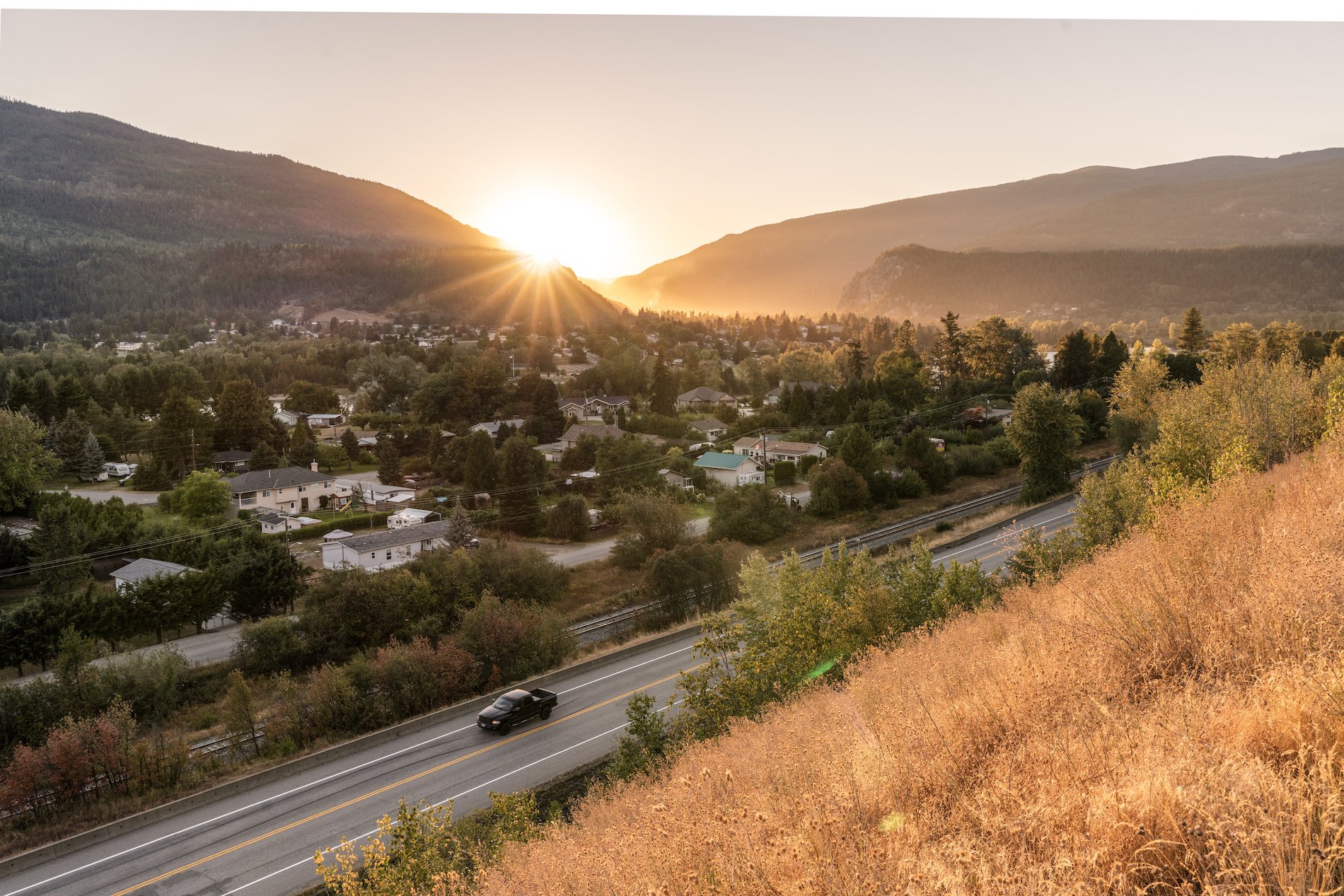 Touring Highway 3 at the city of Castlegar.
 Along the Trans-Canada Highway
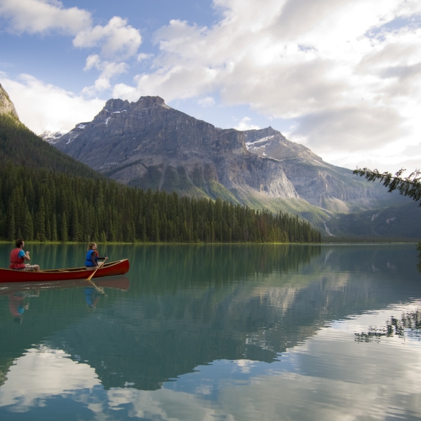
7-10 Days778 km | 483 miA quintessential Canadian journey from Vancouver on the Pacific Coast to the Canadian Rockies along the scenic Trans-Canada Highway 1.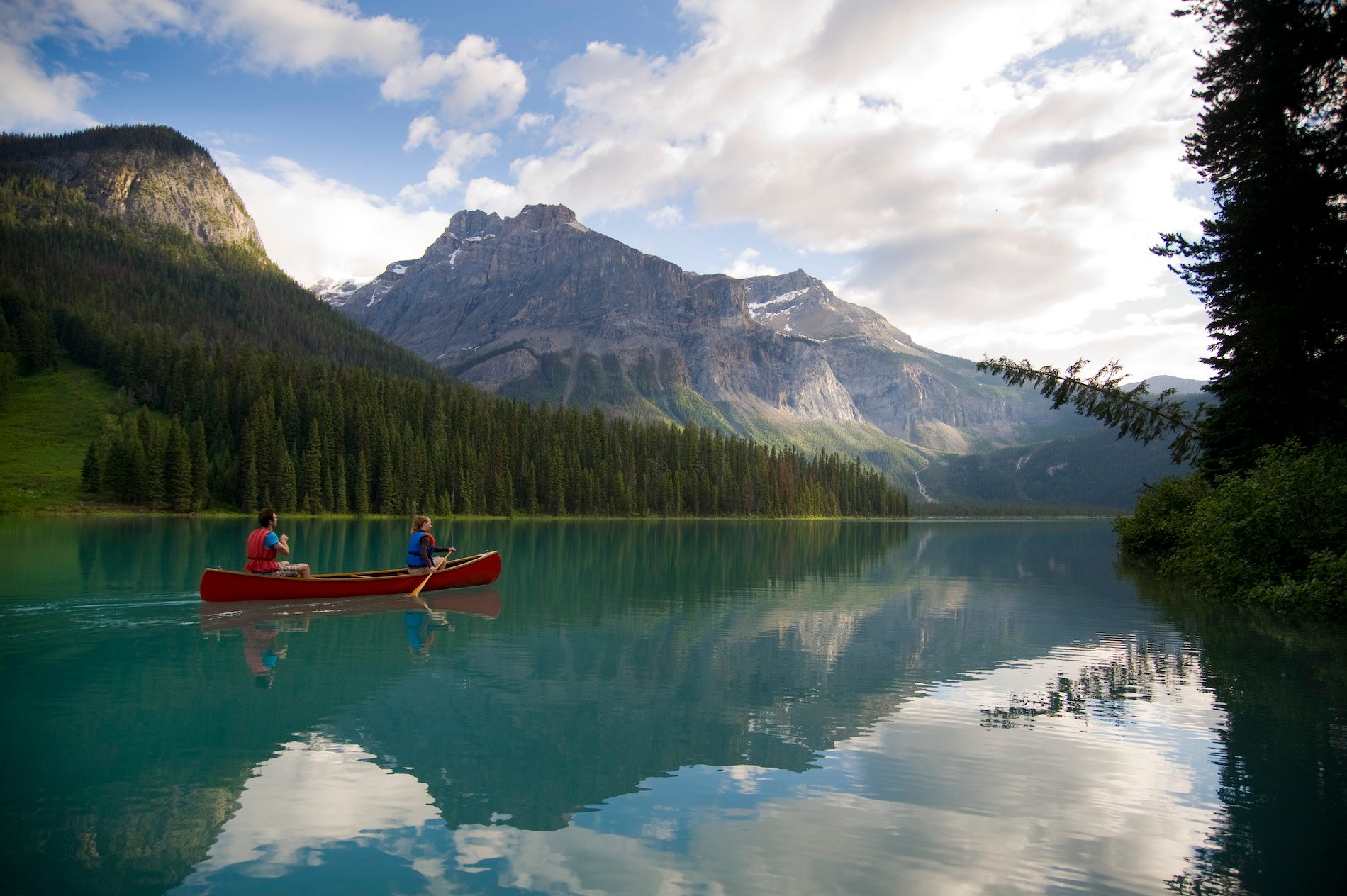 Emerald Lake, with views of the mountains in Yoho National Park near Field | Dave Heath
 The Signature Circle Route
7-10 Days2195 km | 1363 miTake your time and experience BC’s natural grandeur between sea and sky. Travel through ever-changing landscapes on an extraordinary signature circle route.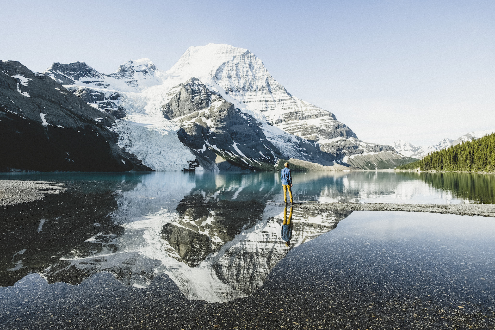 Mount Robson Provincial Park | Megan McLellan
 North to Mount Robson
7-10 Days709 km | 440 miFind adventure as you travel from Vancouver and the Pacific Ocean to Mount Robson, the Canadian Rockies’ highest peak. Emperor Falls in Mount Robson Provincial Park | Brayden Hall Valleys and Vineyards
4-6 Days921 km | 572 miExplore the Fraser, Similkameen, and Okanagan valleys, desert landscapes, rolling hills, and the stunning Columbia and Canadian Rocky mountains in one journey.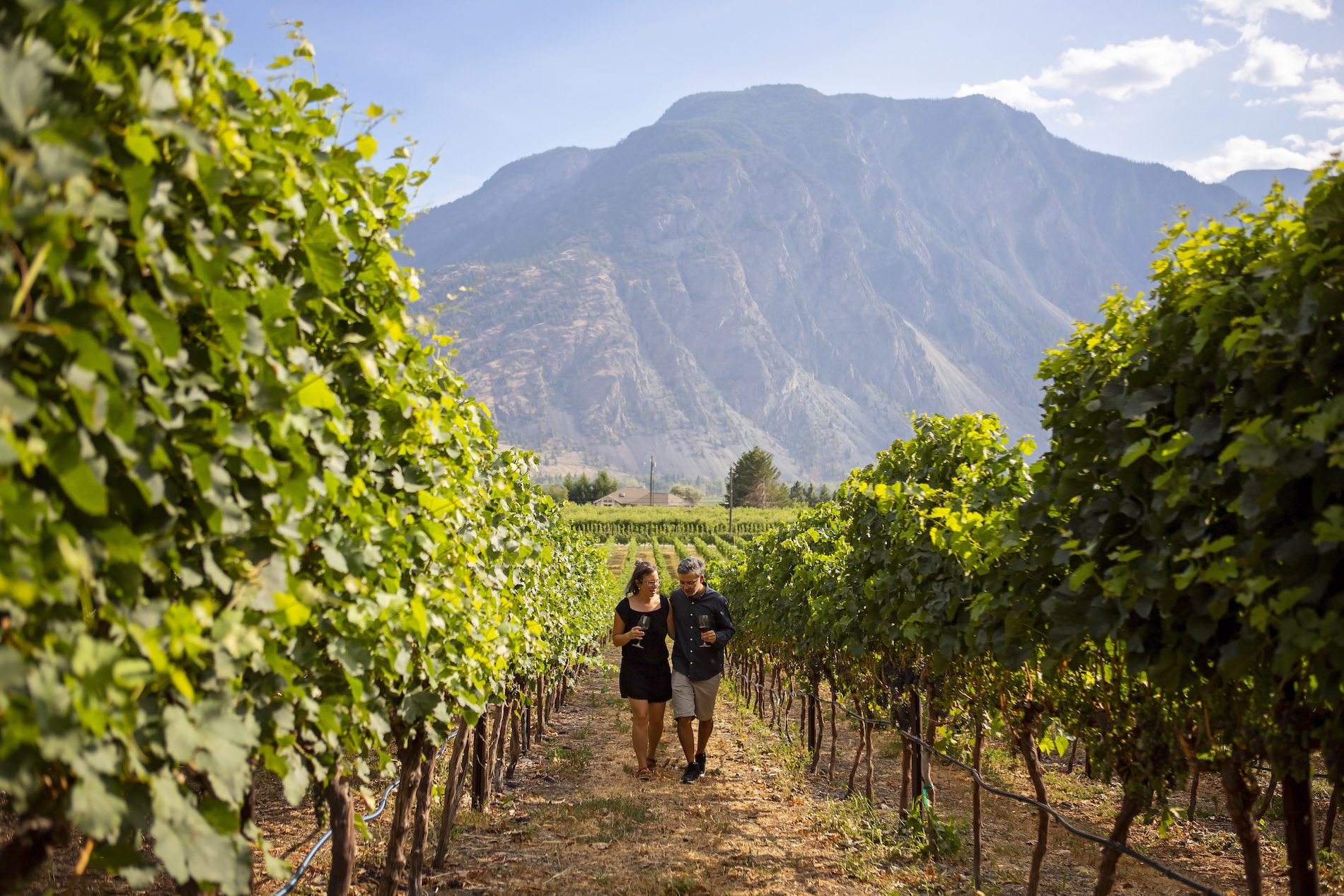 Corcelettes Estate Winery | Similkameen Valley/Darren Robinson
Explore More Rainforest to Rockies Routes
Travel Advisories
Find current information on alerts and/or evacuation orders, during emergencies in BC.
Plan Your Route
Check Drive BC for the latest information on road closures around the province.
BC Parks
Learn about hiking and biking trails, provincial campgrounds, park closures, and more.
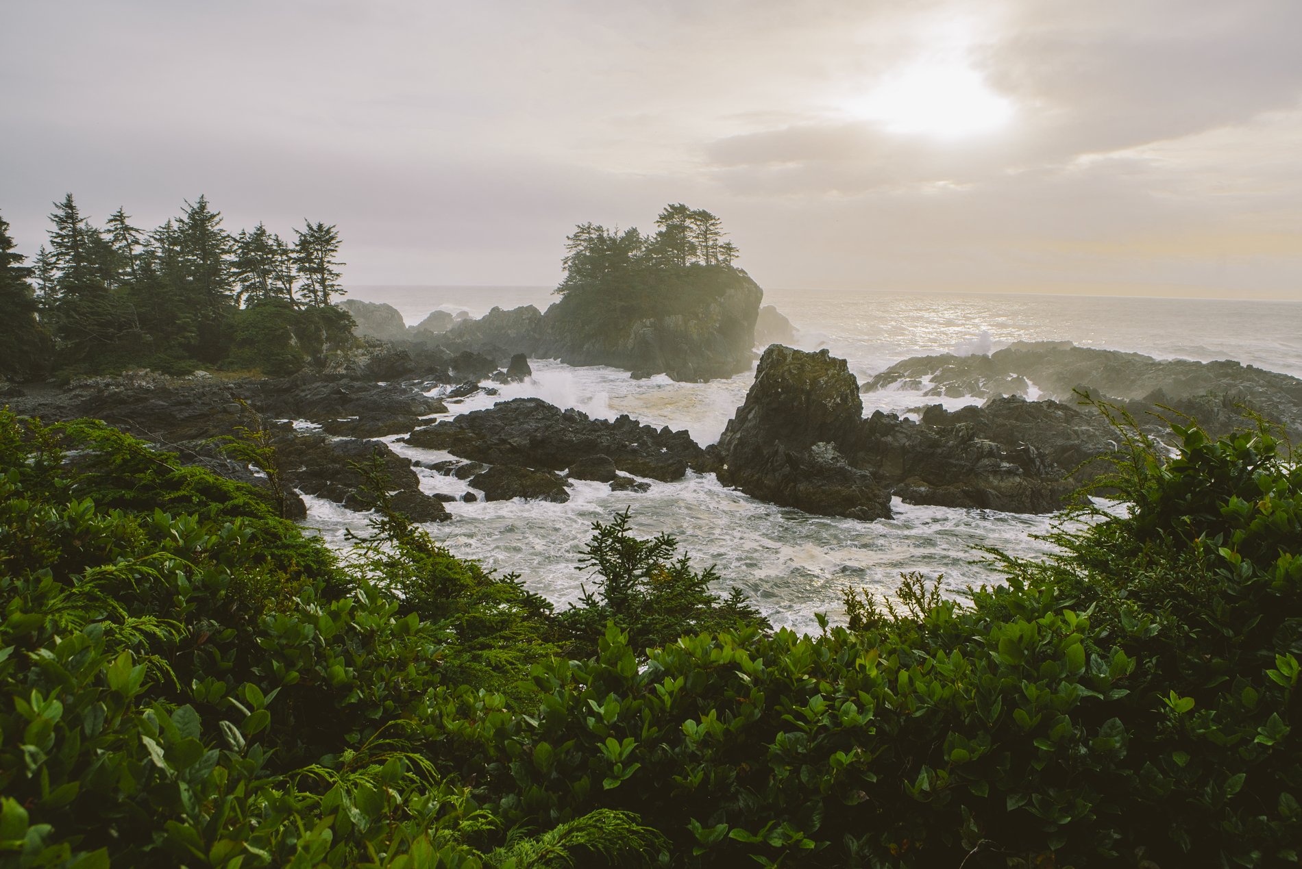
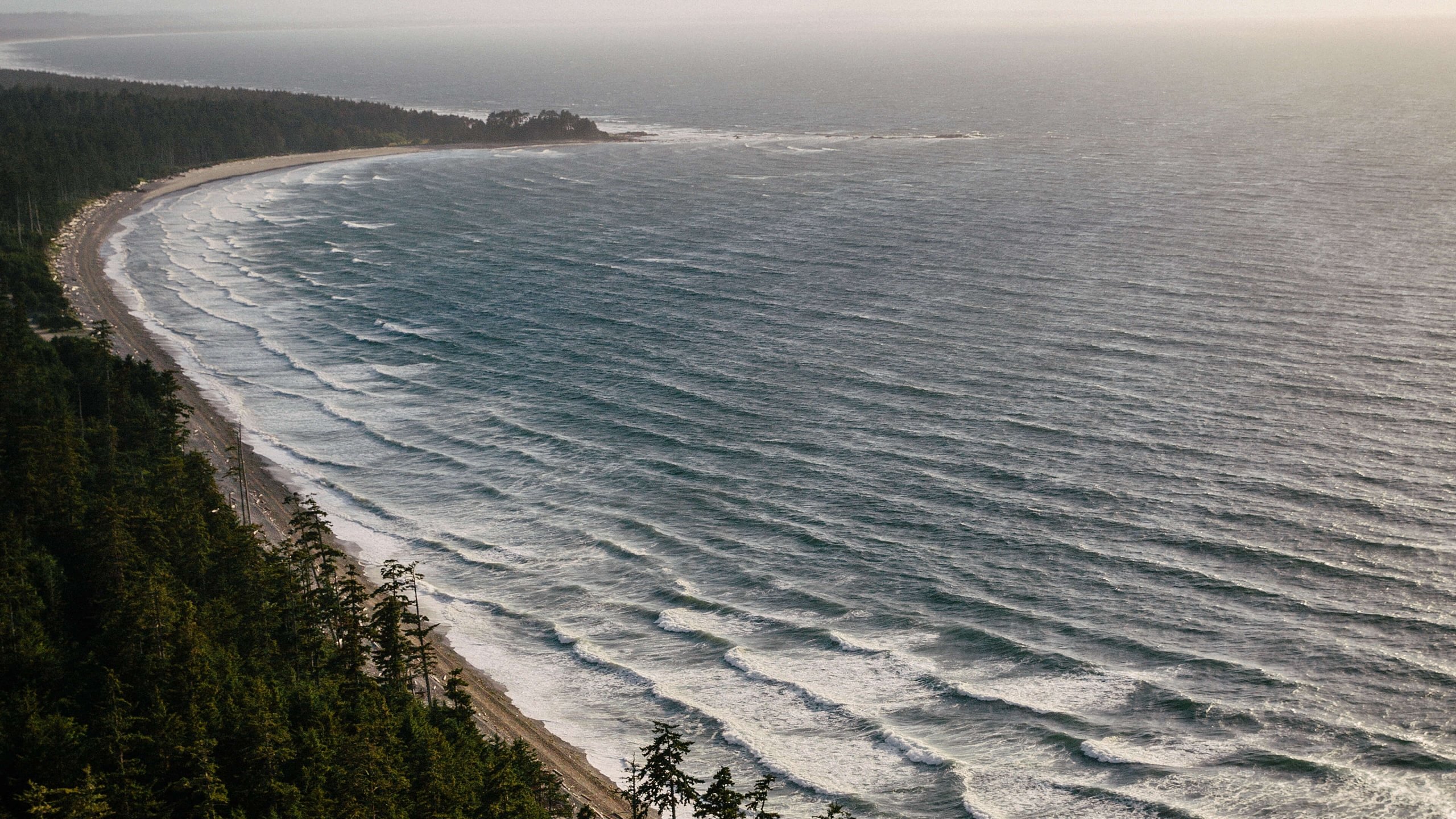
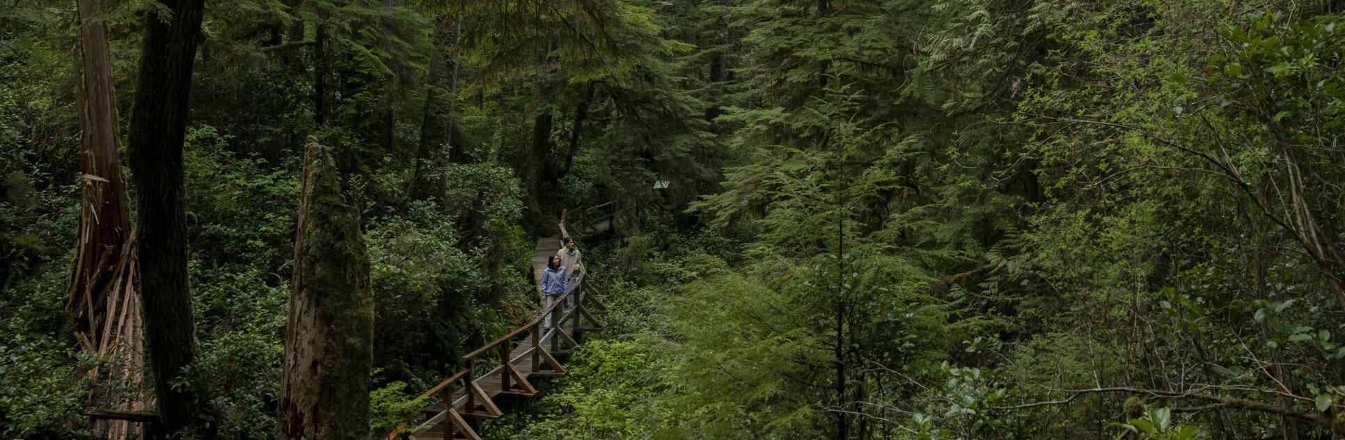 Pacific Rim National Park | Abby Cooper