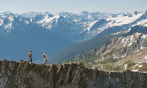
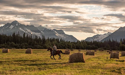

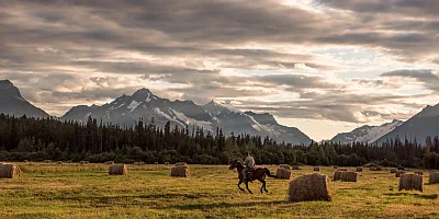
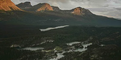


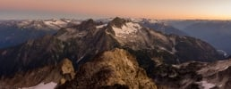
 Tweedsmuir Glacier | Taylor Burk
 By: Julie Ovenell
Tweedsmuir Glacier | Taylor Burk Off the Beaten Path: Local Gems in The Great Wilderness
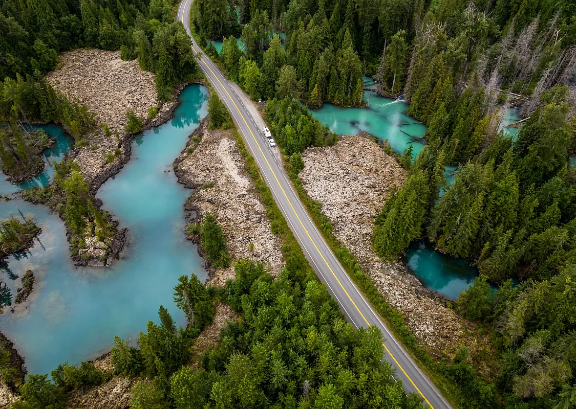
Venture off the path of conventional adventure in The Great Wilderness, a California-sized swath of mountains, valleys, and temperate rainforests located in Northern British Columbia. For most travellers, the towns, trails, and cultural treasures found in The Great Wilderness, and specifically north of Route 16—a storied stretch of road that weaves through nature on an epic scale—are already well beyond the average tourist trail. But for those who like to explore places most people can’t find on a map, there are magical spots that may just become the highlight of their trip. These six local gems shine bright in this vast, visually stunning landscape.
 RV parked at the Drowned Forest in Nisga'a Memorial Lava Bed Provincial Park.
 Nass Valley: Lava landscapes and Nisg̱a’a Nation villages
Just over 300 years ago, Canada’s most recent volcanic eruption rocked the Nass Valley on Nisg̱a’a Lands, northwest of Terrace. The resulting lava flow filled the valley floor, destroyed two Nisg̱a’a villages, and killed 2,000 residents. The land has become the Anhluut’ukwsim Lax̱mihl Angwinga’asanskwhl Nisg̱a’a Park (Nisg̱a’a Memorial Lava Bed Park), the first provincial park to be jointly managed by a First Nation and BC Parks.
A self-guided driving tour through Nisg̱a’a Lands includes stops at the park to see lava cones and buckled basalt formations on the edge of the lush temperate rainforest, and to learn about the scenic valley’s surreal geology and cultural history. Other natural wonders along an 18-stop auto itinerary include waterfalls, natural hot springs, and a “drowned forest” where trees seem to grow right out of the water.
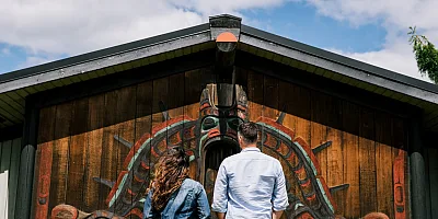
For a deeper dive into Nisg̱a’a culture, spend time at the four Nisg̱a’a villages along the route; some Nation members live and work in these small centres, harvesting fish such as oolichan, and carving wood. Visitors can stop by traditional smokehouses curing fish, view totem poles, and watch carvers at work. A visit to the Hli Goothl Wilp Adokshl Nisga’a (Nisg̱a’a Museum) in Laxgalts’ap explains the significance of cultural artifacts like masks, canoes, and bentwood boxes.
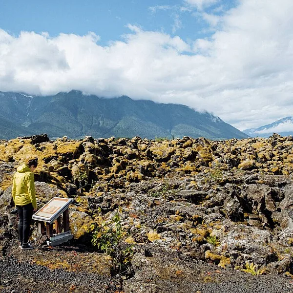 Photo taken by Emanuel Smedbol from Field and Forest on a marked trail at Nisga'a Memorial Lava Bed Provincial Park.
 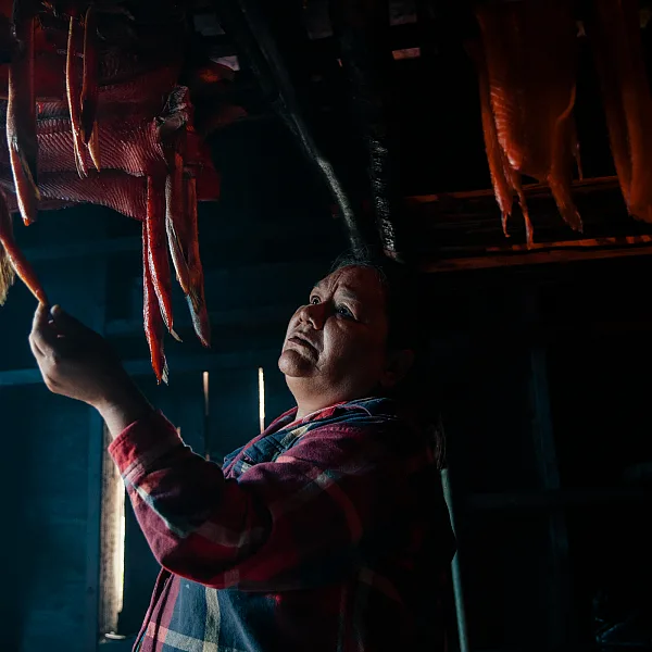 Smoking salmon in a smoke house in village of Gingolx in the Nisga'a Nation.
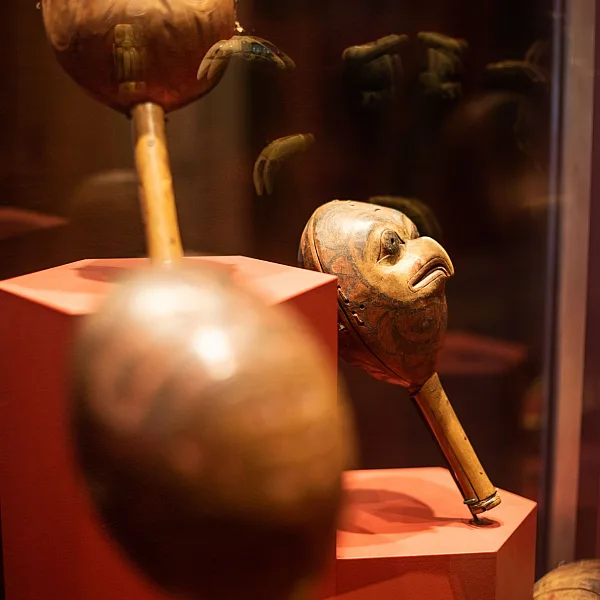
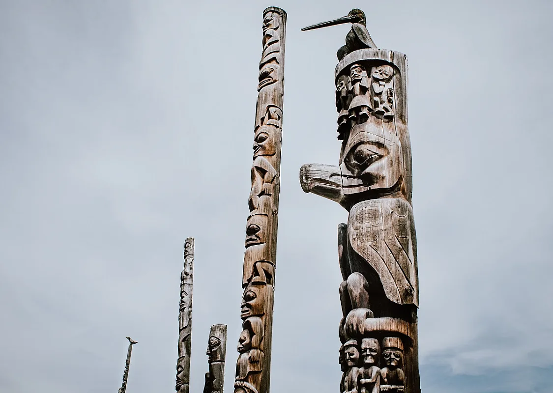
Gitanyow’s spectacular totem poles
In the First Nations community of Gitanyow, whose traditional lands encompass roughly 1.7 million hectares of northwestern British Columbia, stands the largest collection of totem poles found in the province. Made from cedar and notable for their number, scale, and craftsmanship, these towering works of art document the histories, territories, and traditions of each “wilp,” or house group, through stylized human, animal, and supernatural forms hewn into the wood.
Here, you can gaze upon some of the oldest-known poles in BC, including the stunning “Hole in the Ice,” which features an oblong tunnel carved through the pole’s middle. End your visit with a wander up the hill at nearby Gitwangak Battle Hill National Historic Site, once a fortified village, for views down the Kitwanga River Valley.
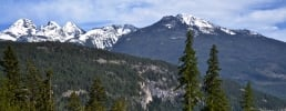
 Rock climbing on Hudson Bay Mountain near Smithers
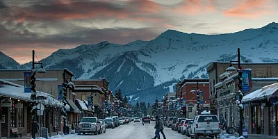
 Smithers, the ultimate wilderness mountain town
Surrounded in all directions by peaks, lakes, and rivers that enthrall hikers, mountain bikers, skiers, and anglers, Smithers is a mountain town, through and through. It’s got the trails and waterways for outdoor adventures, but it balances that rugged ethos with two craft breweries, a coffee roaster, and eclectic eateries housed in alpine-style buildings connected by red-brick sidewalks.
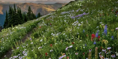
Beyond the town’s 6,000 residents, you can opt for a more remote stay at the Joe L’Orsa cabin in Babine Mountains Provincial Park, located in Smithers’ rather large backyard. Set off on the Silver King Basin Trail, which follows an old mining road with a gentle grade for 8.5 kms (5.2 mi) to a first-come, first served log cabin set in a wildflower-studded meadow beneath dramatic peaks. The abandoned Silver King Mine lies another half-kilometre beyond, complete with antique ore cars and rusty rail track for old-timey ambiance.
Closer to town, the hike up Hudson Bay Mountain rewards with spectacular views of the Bulkley Valley. Keep an eye out for the resident herd of mountain goats—BC is home to 50 per cent of the planet’s population of these bearded mountain climbers.
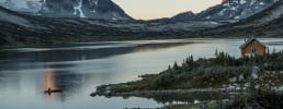
 Dennis Lake in Smithers
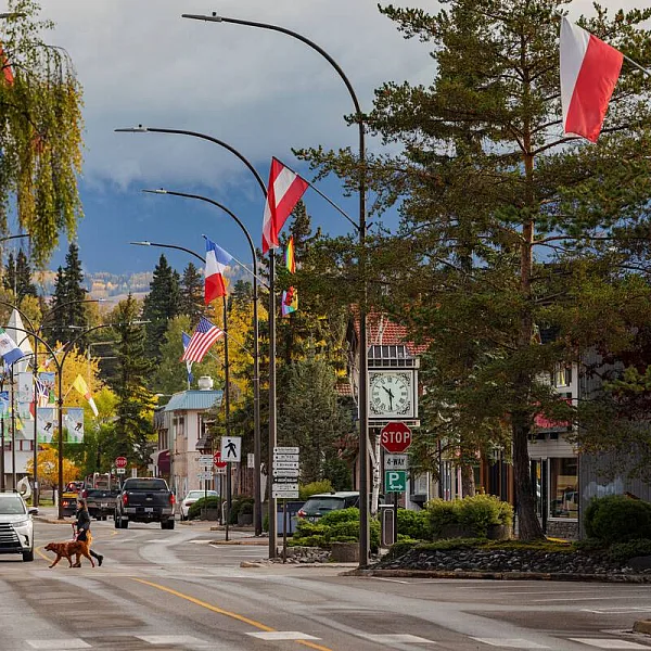 Smithers town in the fall.
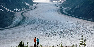
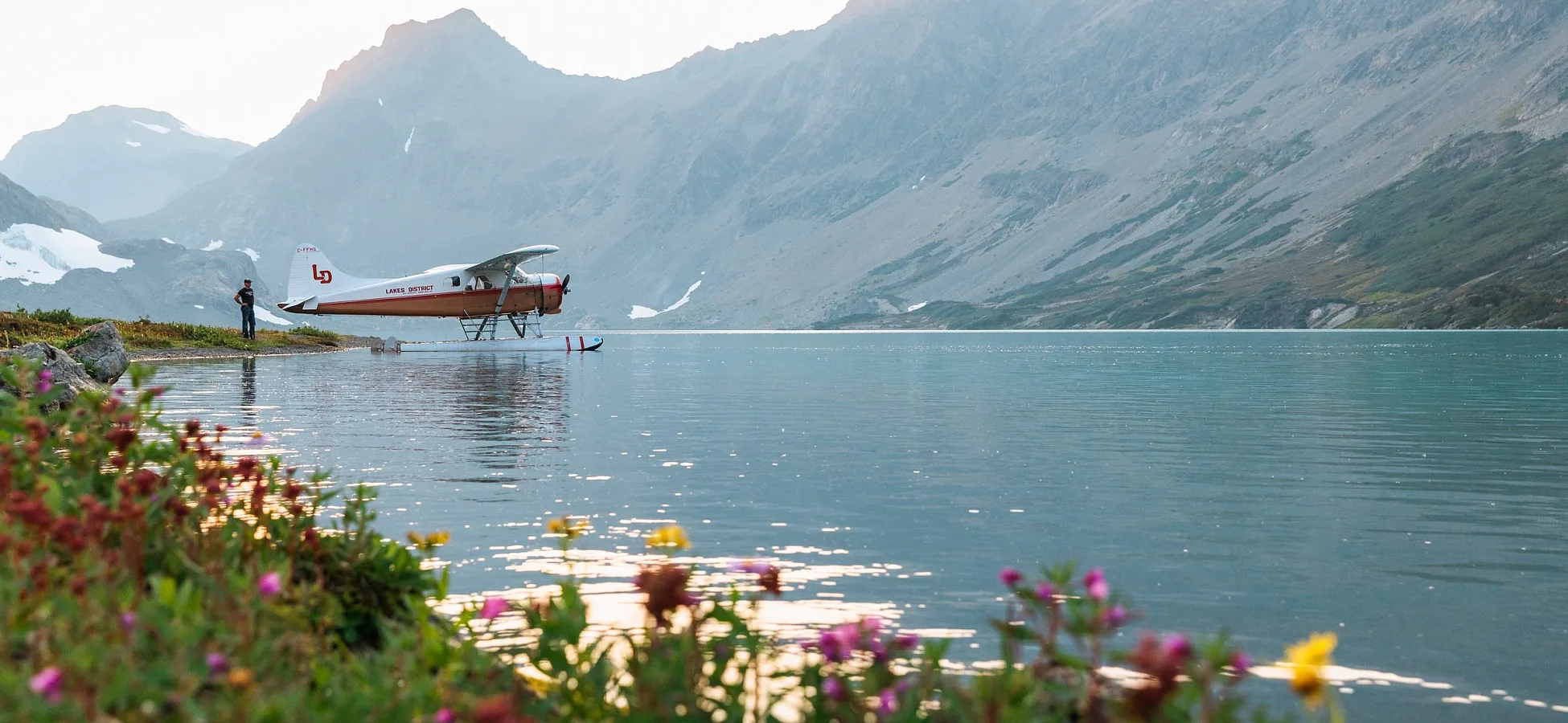
 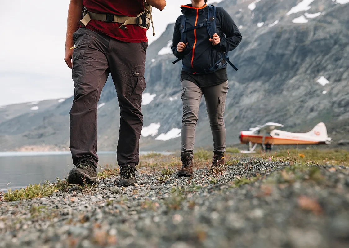 Hikers hiking through Tweedsmuir Glacier via Lakes District Air floatplane
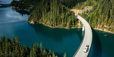
 The Lakes District, by air
From the road, The Great Wilderness boasts thick forest intermittently punctuated by white-toqued peaks. To truly grasp the power and size of this vast land, you need to take to the air.
Soar above its thundering waterfalls and vast icefields on a flight-see trip with Lakes District Air, which operates out of Burns Lake. The company’s small planes seat from three to six people, and are float-equipped to facilitate water landings so guests can get close to waterfalls, or simply stand alone on the shore of a pristine lake like a scene out of an alpine postcard.
Lakes District Air also organizes trips to remote fly-in-only cabins where anglers can try their luck hooking a trophy rainbow trout.
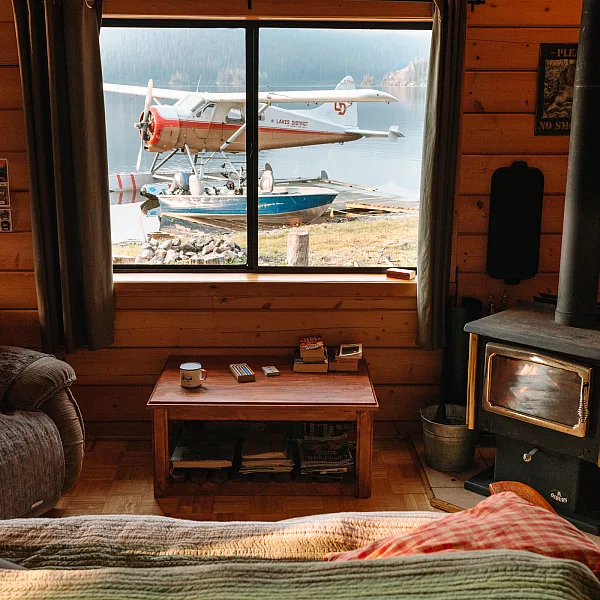 Cabin interior view of Tesla Lake Lodge, accessed via Lakes District Air
 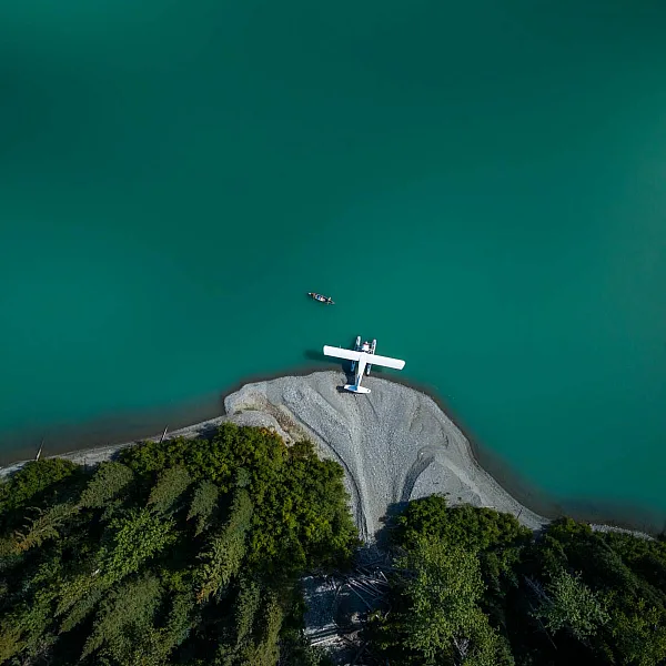 Atna Laker with Lakes District Air, departing out of Burns Lake. Flight seeing.
 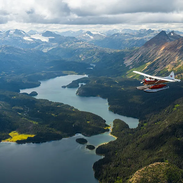 Lakes District Air's de Havilland Beaver flies past Coles Lake and Piano Peak in the Tahtsa Range
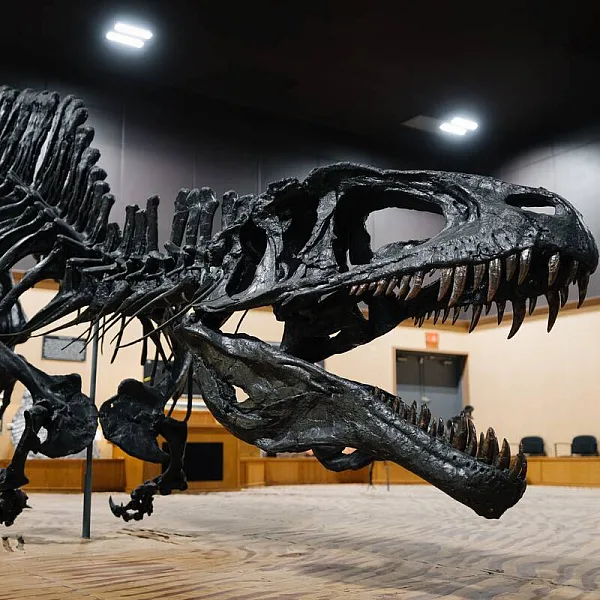
 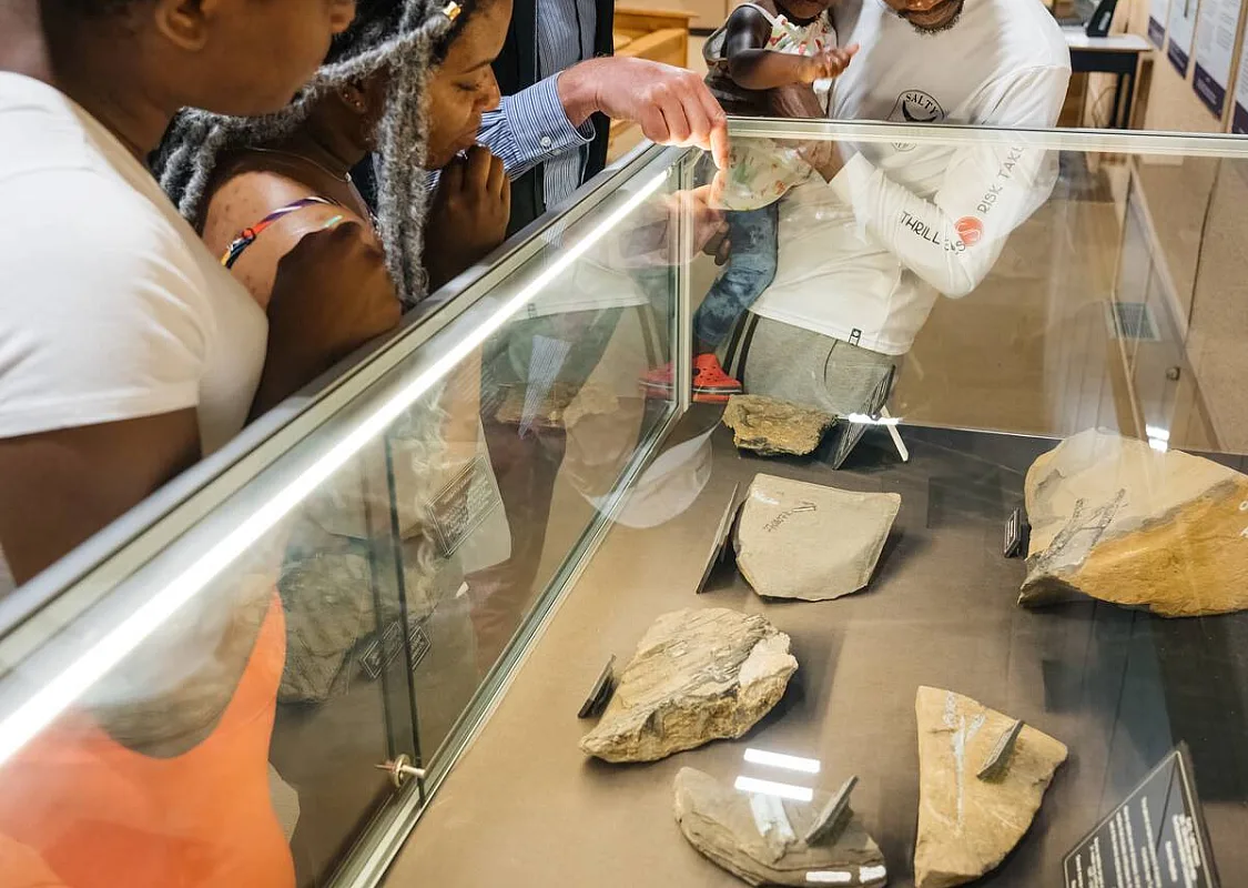 Family at the Tumbler Ridge Dinosaur Discovery Gallery
 Rock towers and wildlife on the Shipyard and Shipyard-Titanic Trail and Titanic hike
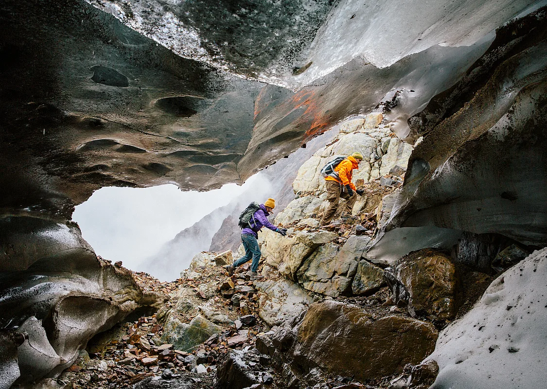
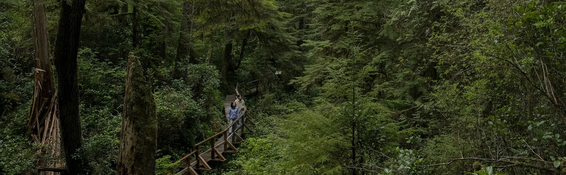
On the eastern slopes of the Northern Rocky Mountains, Tumbler Ridge, Western Canada’s only UNESCO Global Geopark, beckons outdoor adventurers with waterfalls, hikes, and wilderness campsites.
Tumbler Ridge is recognized globally for its nearly 600 million years of geological history. Not only is it the dinosaur capital of BC, boasting impressive Tyrannosaur trackways and dinosaur fossil beds, its otherworldly rock formations, formidable cliffs, and alpine meadows can be linked to modern wildlife like mountain goats and caribou, and to human archaeology, history, and culture, including the area’s Indigenous Peoples. The land here is the traditional territory of the Dunne-za, Saulteaux, Tse’khene, Cree, and Metis peoples which includes the McLeod Lake Indian Band, Saulteaux First Nations, West Moberly First Nations, Kelly Lake Cree First Nations, and Kelly Lake Metis Settlement Society.
The park’s most impressive geological eye candy can be found on the Shipyard-Titanic Trail. This moderate, 2.6-km (1.6-mi) return trail is so named because its scenery of bizarre, gravity-defying rock towers resembles a shipyard whose occupants are in varying stages of listing and sinking. Keep an eye out for animal occupants, too—mountain goats are often spied on the rocks.
 Family at the Tumbler Ridge Dinosaur Discovery Gallery
 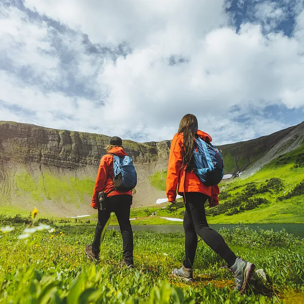 Windfall Lake in Tumbler Ridge
 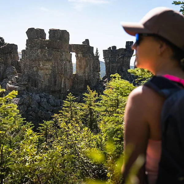 Hiking the Shipyard / Titanic Trail.
 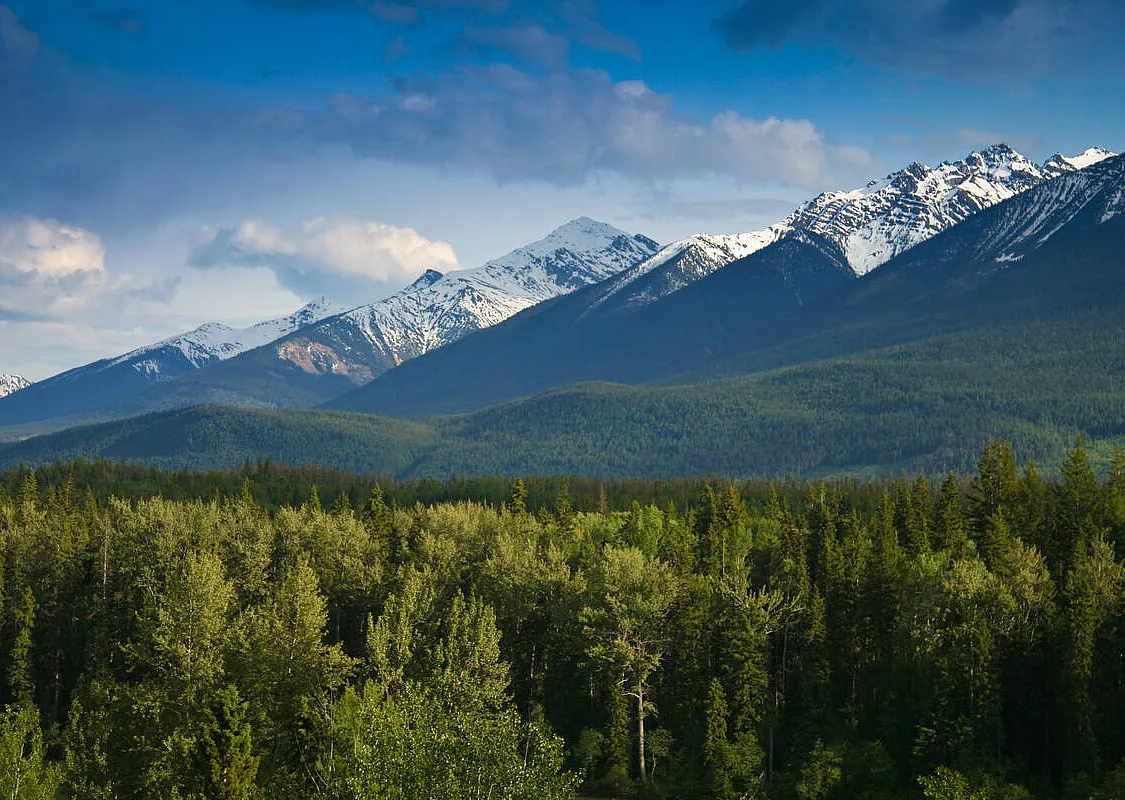 A forest and mountain range near Valemount in the North Thompson Valley.
 New Mount Terry Fox Trail via Teepee Creek
For an ambitious day-long hike, the New Mount Terry Fox Trail near Valemount on Simpcw First Nation territory rewards with waterfalls, wildflower-studded alpine meadows, and sweeping Rocky Mountain vistas along a trail that parallels scenic Teepee Creek. This hike up the narrow Teepee Creek Valley shouldn’t be confused with the old Mount Terry Fox hike, which is longer and steeper. The trailhead for the new path is positioned about 300 metres (984 feet) higher than the original, and offers more options.
Hikers can choose to merely visit the gorgeous, emerald green Teepee Lakes at the trail’s terminus (6.5 kms/4 mi one way), or they can branch left after 2.5 kms (1.2 mi) and ascend to Big Rock, a prominent rock outcrop with sublime views (5.5 kms/3.4 mi one way). From here, the trail leads to an alpine ridge that joins the old trail and takes intrepid trekkers to the summit (8.5 kms/5.2 mi one way). At the top there’s a monument to Canadian hero Terry Fox, and views of the Canadian Rockies’ highest peak, Mt. Robson.
No matter which destination hikers choose, they’re looking at a return distance of 13 kms (8 mi) or more, and elevation gains of between 900 and 1,450 metres (2,953 and 4,757 feet), so a moderate level of fitness is required for this advanced trail. They should also come prepared with a map, bear spray, good hiking boots, layers for warmth, ample food and water, and essentials like a fire-making kit and communication device.
Getting Here
The scale of The Great Wilderness can sometimes be hard to imagine. There are several gateways into these awe-inspiring lands. Starting on the West Coast of British Columbia, Prince Rupert is a Pacific Ocean port city accessible by plane, highway, and BC Ferries. From here, you can travel north towards the Yukon and Alaska borders, or east towards the town of Terrace and northwestern BC. Further inland, the outdoor-oriented city of Prince George is a prime base camp to the north, connecting to both Stewart-Cassiar Highway and Route 16. Those travelling into the Northern Rockies or to Tumbler Ridge can begin their trip at Dawson Creek (Mile 0 of the Alaska Highway), or further north in Fort St. John with frequent flights into the North Peace Regional Airport.
Getting Here & Around
Visitors to British Columbia can arrive by air, road, rail, or ferry.
Travel Advisories
Find current information on alerts and/or evacuation orders, during emergencies in BC.
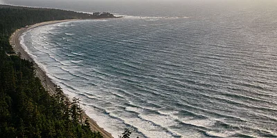
 Pacific Rim National Park | Abby Cooper