

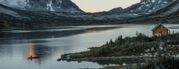
 Along Highway 24, The Fishing Highway | Andrew Strain Along Highway 24, The Fishing Highway | Andrew Strain
 Nature’s Heartland
Falls, fossils and the Fishing Highway
6 Destinations
2-3 days
530 km | 329 mi
This loop delivers Nature’s Heartland at full scale: a waterfall dropping over 140 m (460 ft) through volcanic rock, working cattle ranches, plentiful lakes, and 50-million-year-old shale. From Kamloops, you’ll climb into Wells Gray Provincial Park, follow Highway 24 alongside trout-filled waterways, and return through Cache Creek‘s dry grassland to the McAbee Fossil Beds. Plan for 2-3 days and about 530 km of driving, with enough time to slow down, stretch your legs, and discover the many layers of this rich area.
Part 1
Kamloops
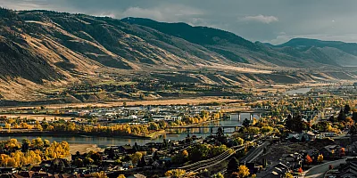
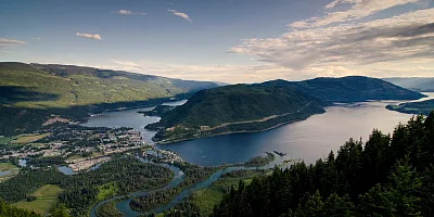
Kamloops sits in a dry pocket of BC, with hillsides covered in sagebrush, ponderosa pine, and hoodoo rock formations, and is among Canada’s sunniest spots. The name comes from Tk’emlúps, a Secwepemctsín word meaning where the rivers meet, marking the point where the North and South Thompson rivers come together downtown. Tk’emlúps te Secwépemc hosts and welcomes visitors to the Kamloopa Powwow here each summer, one of the largest gatherings of Indigenous culture in Western Canada.
Kamloops is also home to Canada’s largest municipal bike park. The Bike Ranch spans 26 ha (64 ac) of beginner-to-pro mountain bike trails and dedicated jump lines, alongside the All Wheels Pump Track Facility for BMX, skateboard, and adaptive riders, enough to challenge anyone in your travel group.
-
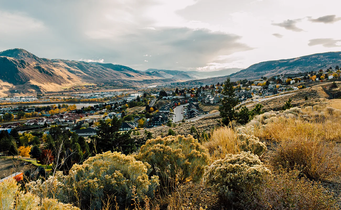 Kamloops | Tanya Goehring
 -
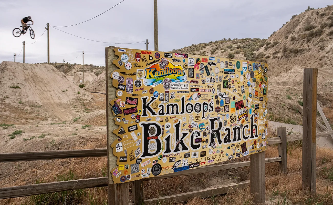 Kamloops Bike Ranch | Brock Ellis
Part 2
Wells Gray and Helmcken Falls
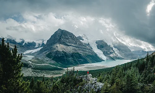
Leaving Kamloops, head out Highway 5 to follow the North Thompson River for about an hour and a half to Clearwater, the gateway to Wells Gray Provincial Park. Wells Gray protects about 5,300 sq km (2,050 sq mi) of the southern Cariboo Mountains, land built by volcanic eruptions and cut by ice-age meltwater over roughly 200,000 years. It’s a popular place to hike and paddle, and dozens of waterfalls drop through the park, earning it the nickname of “Canada’s Waterfalls Park.”
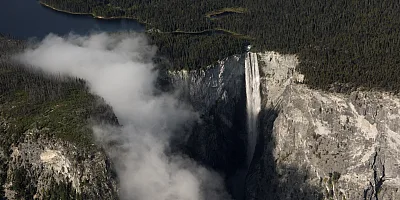
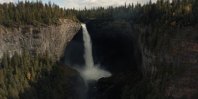
Helmcken Falls is the star here: the Murtle River plunges 141 m (463 ft)—the fourth-tallest drop in Canada—into a canyon of volcanic rock. A short, paved path leads to its main viewpoint, and the Rim Trail, an 8.4-km (5.2-mi) moderate, round-trip hike, gets you close enough to feel the spray. Spahats, Dawson, and Moul falls also sit within a short drive of the same park road. So if you’re keen on cascades, an overnight at Clearwater Springs Ranch’s rooms or cottages, or Helmcken Falls Holiday Resort’s cabins or chalets, gives you extra time for more than just one.
-
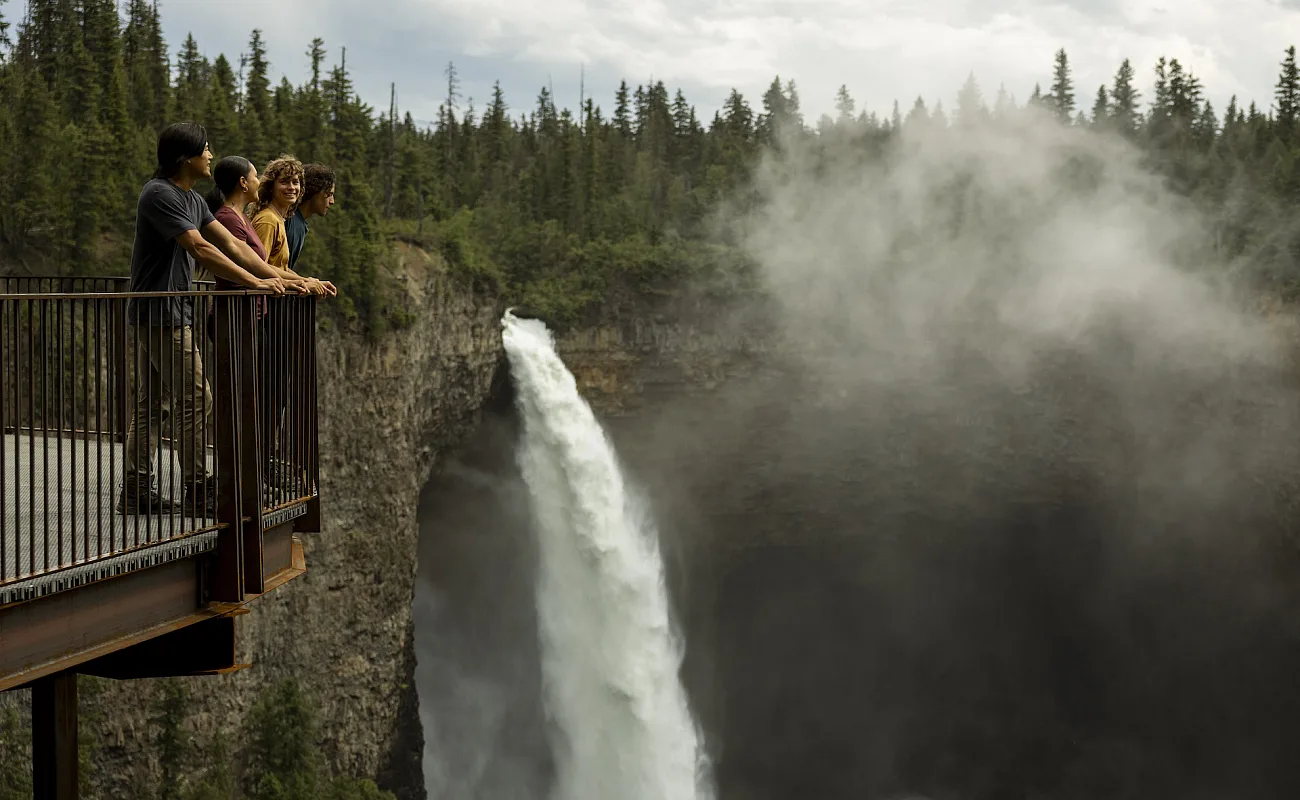 Wells Gray Provincial Park | Abby Cooper
 -
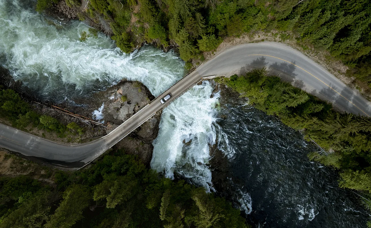 Wells Gray Provincial Park | Abby Cooper
 -
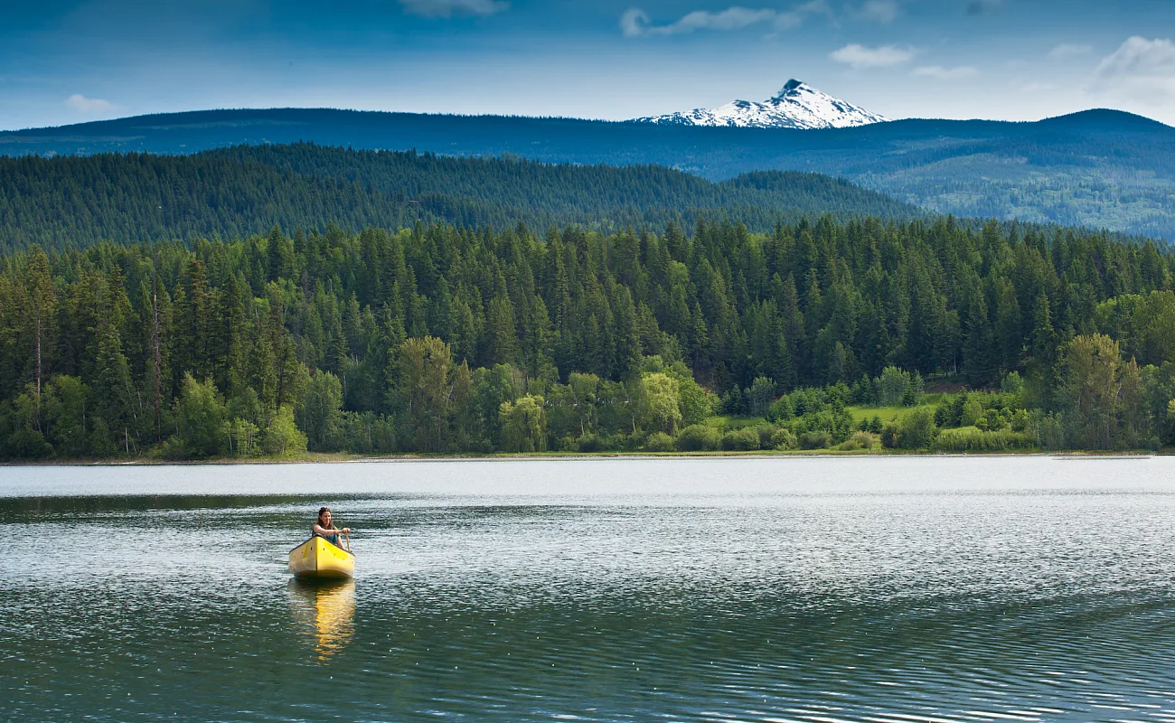 Wells Gray | Thompson Okanagan/Allen Jones
Part 3
Highway 24, The Fishing Highway
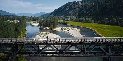
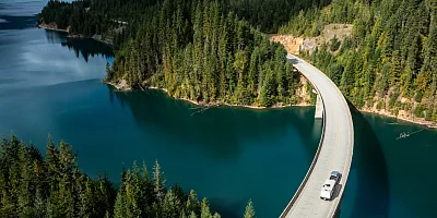
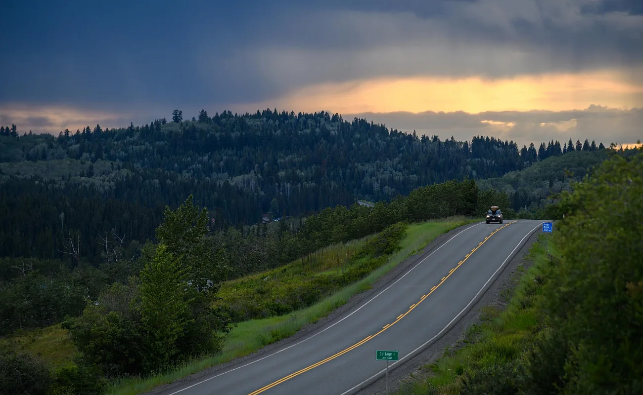
From Wells Gray, head back down to Little Fort and take Highway 24 west for about 100 km (62 mi) to 93 Mile, roughly an hour of driving. This highway is a Secwépemc trade route and is colloquially known as the Fishing Highway for good reason: it provides access to approximately 100 lakes teeming with trout.
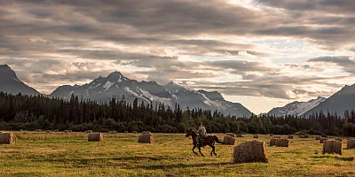
Fish at sunrise, paddle a quiet bay, swim off the dock, or find a trail to bike or hike before dinner. Sheridan Lake Resort and Loon Bay Resort on Sheridan Lake, Cottonwood Bay Resort on Bridge Lake, and the resorts at Eagan Lake, Fawn Lake, and Lac des Roches, all put you right where you need to be. At Watch Lake, the Horn family has run a lodge since 1950. It’s a working cattle ranch as much as a resort, and on Wednesdays the horseback rides sometimes turn into a small cattle drive.
After getting your fill of the outdoors, fill your belly with a hearty meal at the Iron Horse Pub in Lone Butte, about 15-30 minutes from these resorts. Lone Butte was once the region’s largest settlement in the early 1900s and has served the Cariboo region for two decades.
-
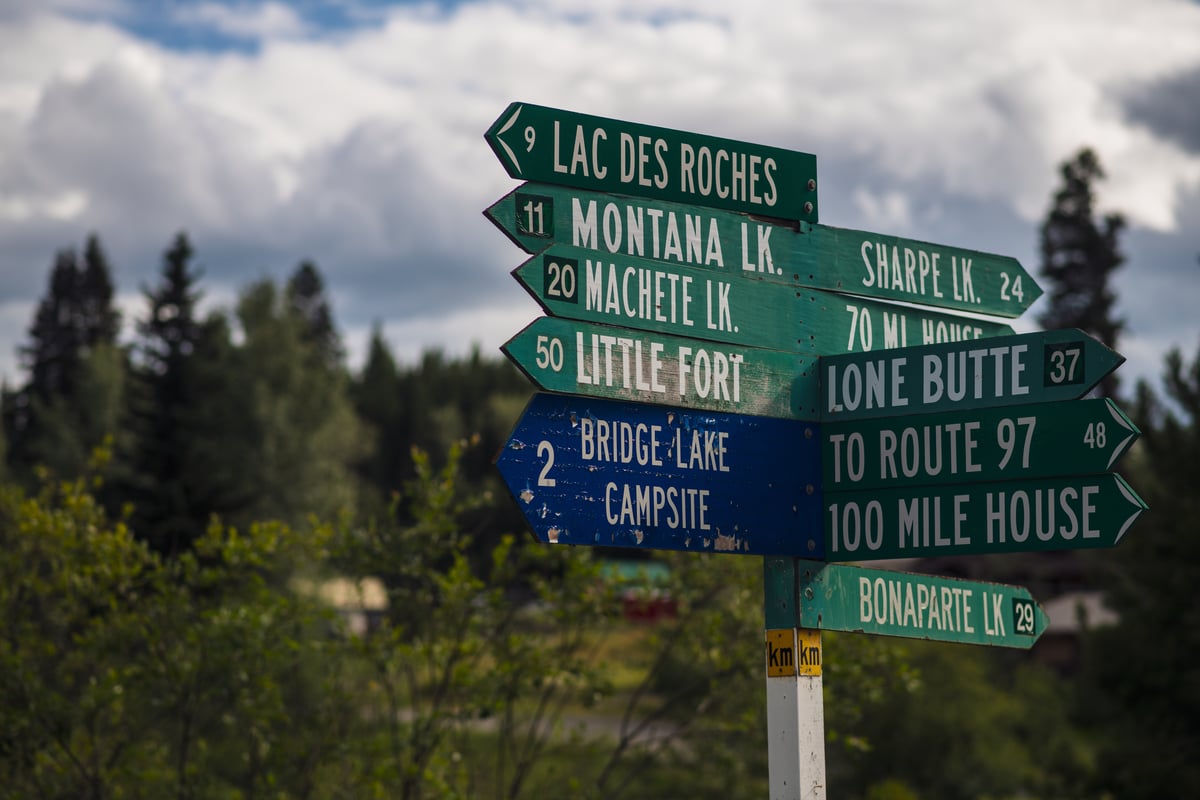 Bridge Lake General Store | Andrew Strain
 -
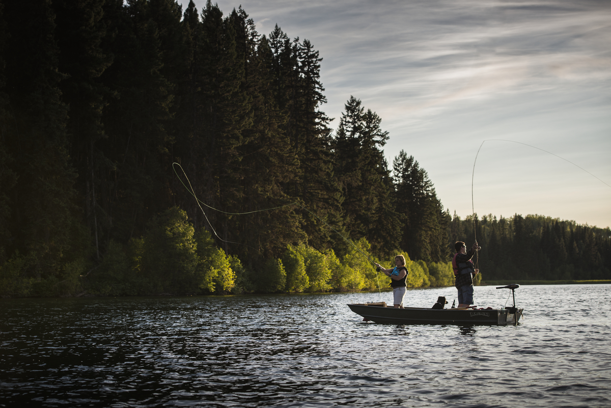 Fawn Lake | Blake Jorgenson
 -
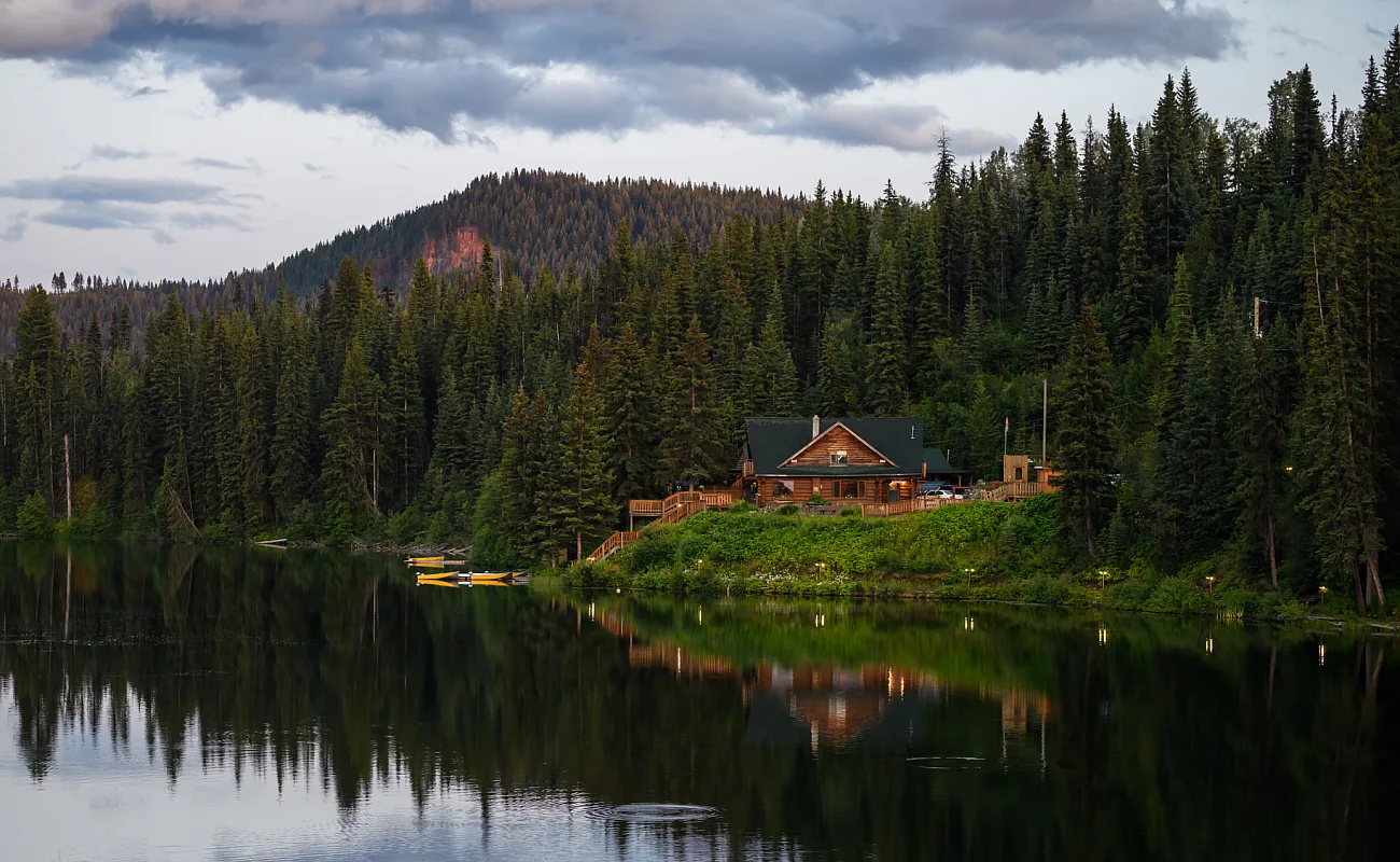 Lac des Roches Resort | Andrew Strain
 -
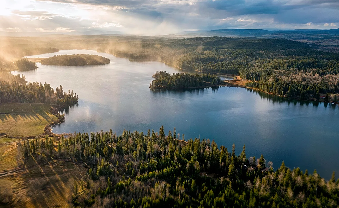 Watch Lake Lodge | Destination BC
Part 4
Fishing Highway to Cache Creek
Past 93 Mile, travel Highway 97 south through 70 Mile House and Clinton, less than an hour of driving. The Sugar Shack at 70 Mile House brings Quebec maple syrup and poutine to the Cariboo, and is open seasonally from May to October.
Clinton traces its Gold Rush Trail history along a 20-stop self-guided heritage walking tour. Grab a guide in town or download it ahead of time, then follow it past landmarks like the Clinton Museum, housed in the town’s 1892 schoolhouse.
For your caffeine fix, head to The Junction Coffee House, then later to the Stage Coach Café garden for a Mexican meal. Settle in at the Cariboo Lodge for rooms in a log building with its own Western-style pub.
-
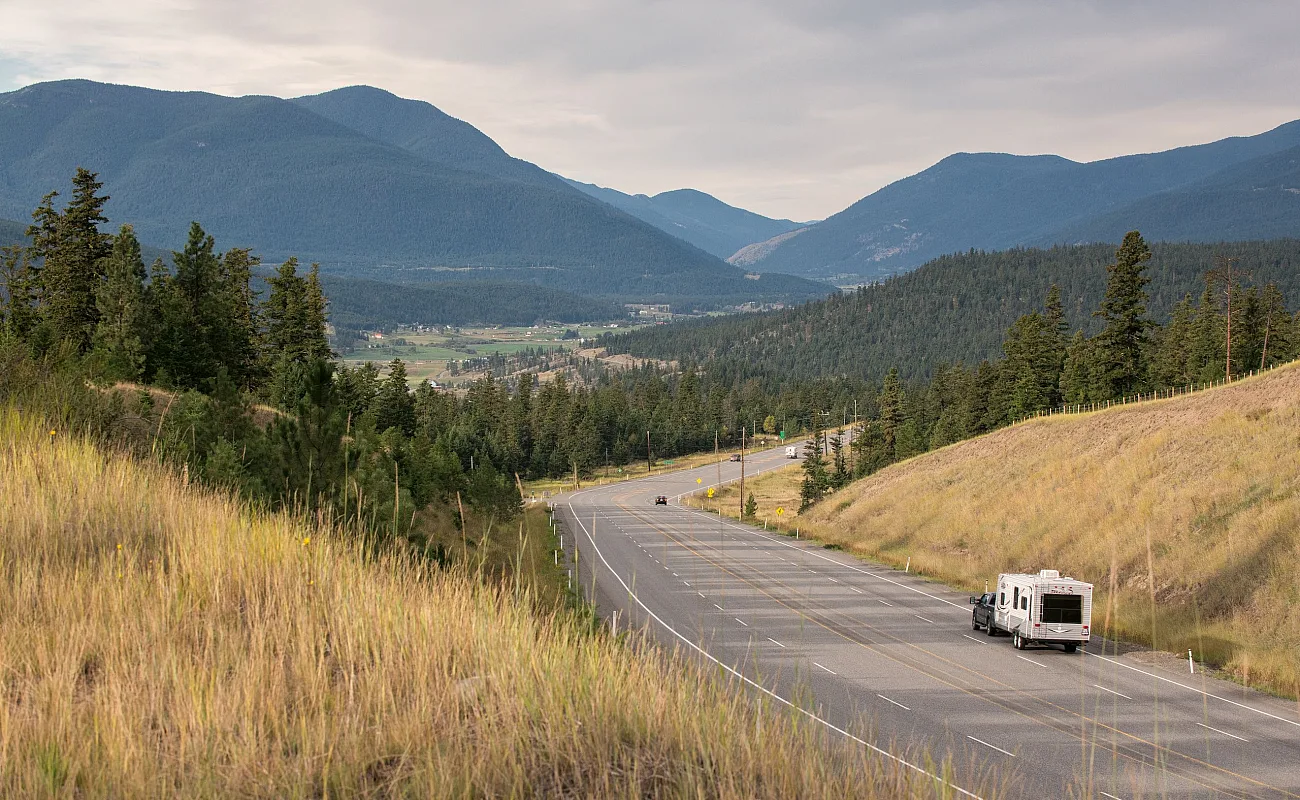 Clinton | Michael Bednar
 -
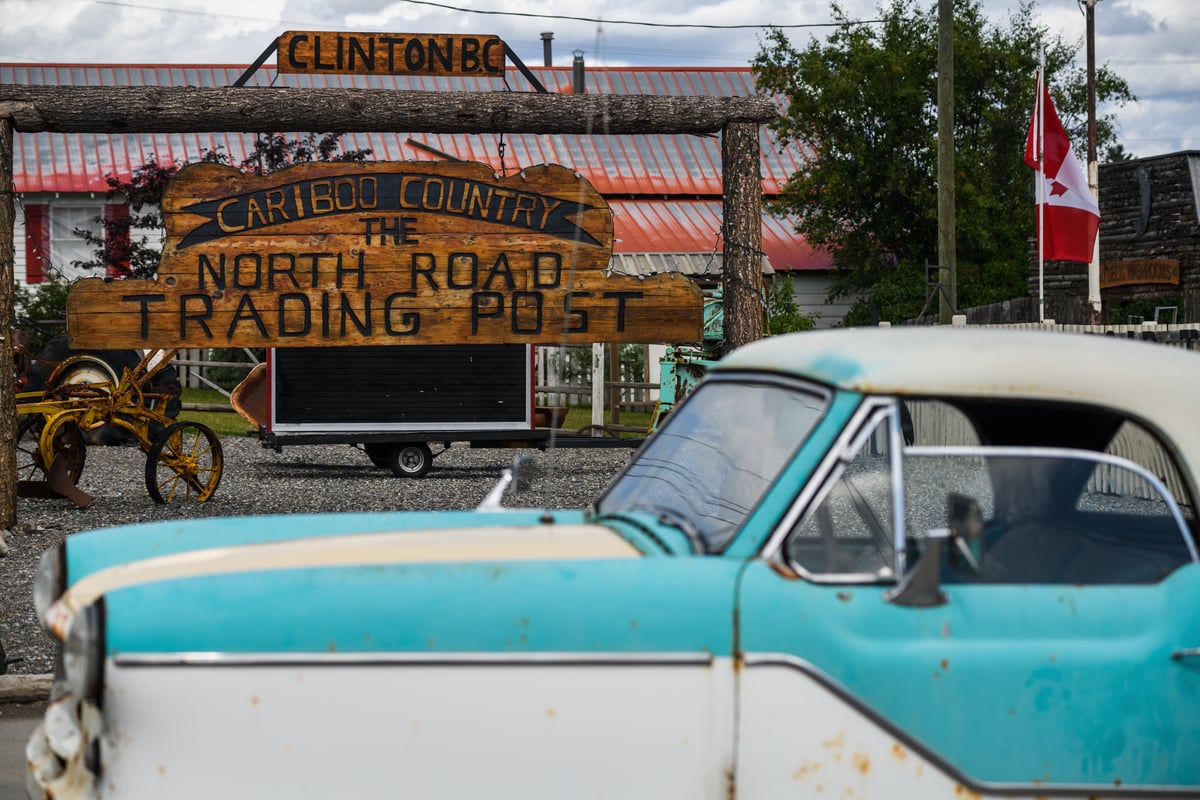 The North Road Trading, Clinton | Andrew Strain
 -
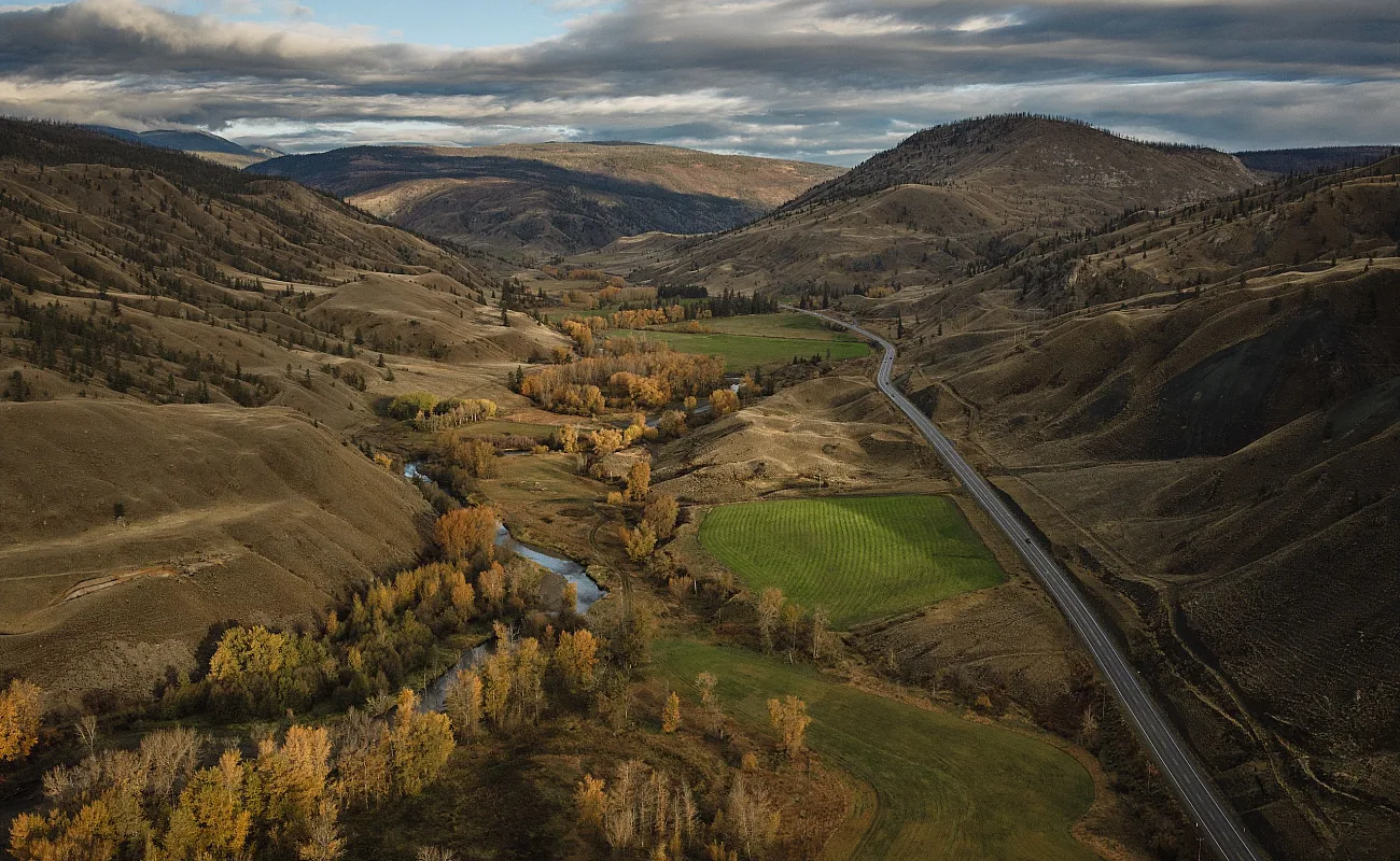 Cache Creek | Hubert Kang
South of Clinton, detour to Loon Lake, long respected as one of the region’s trophy rainbow trout lakes, where Marigold and Evergreen fishing resorts rent cabins and boats.
Back on the highway, grassland turns to sagebrush and sun-baked hills. Horsting’s Farm Market, 35-ha (85-acre) family farm on the Bonaparte River just north of Cache Creek, bakes fresh pies and bread. In Cache Creek, Desert Hills Ranch runs a taco stand with produce grown in the same soil that has supported farming here for more than a century.
Part 5
McAbee Fossil Beds
On the way back toward Kamloops, McAbee Fossil Beds (open May to September) sits along Highway 97, marked by a white teepee at the entrance about 15 minutes east of Cache Creek. St’uxwtéws (Bonaparte First Nation) stewards and operates the site today, which was designated a Provincial Heritage Site in 2012.
The fossil beds date back 50 million years to the Eocene Epoch, when a warmer, wetter forest covered the region. Along the 8-km (5-mi) trail network, which includes a 1.5-km (0.9-mi) accessible loop, view preserved ferns, insects, and fish in the exposed shale. Interpretive signage connects these ancient fossils with the ancestral village sites and living culture of the St’uxwtéws People. From McAbee, it is a short final stretch back to Kamloops, roughly 45 minutes, closing the loop where it began
-
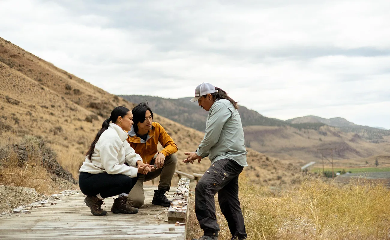 McAbee Fossil Beds | Abby Cooper
 -
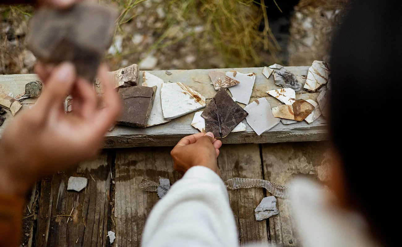 McAbee Fossil Beds | Abby Cooper
 -
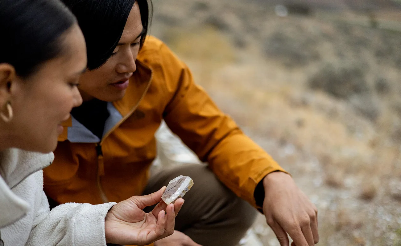 McAbee Fossil Beds | Abby Cooper
Plan your trip
How long does this road trip take?
Rush it, and you’ll see a highway. Slow down, and you’ll have time to cast a line or hike to canyon rims. Two to three days across 530 km (330 mi) leaves room for stops you didn’t plan.
How do I travel responsibly on this route?
Tread lightly. The ranches, small communities, and ancestral sites along the route depend on visitors who leave things as they find them. Watch for deer, bears, or cattle on the road, and give them room.
When is the best time to go?
Wells Gray’s park roads and the Highway 24 lake resorts are generally open from late May through September. Outside that window, expect quieter roads, variable weather, and some closures or shorter hours. Check DriveBC before you go.
Will I have cell coverage the whole way?
Not necessarily. Coverage can thin out for long stretches, so carry a paper map and share your route before you leave.
After that, the only thing left to decide is how long you stay.
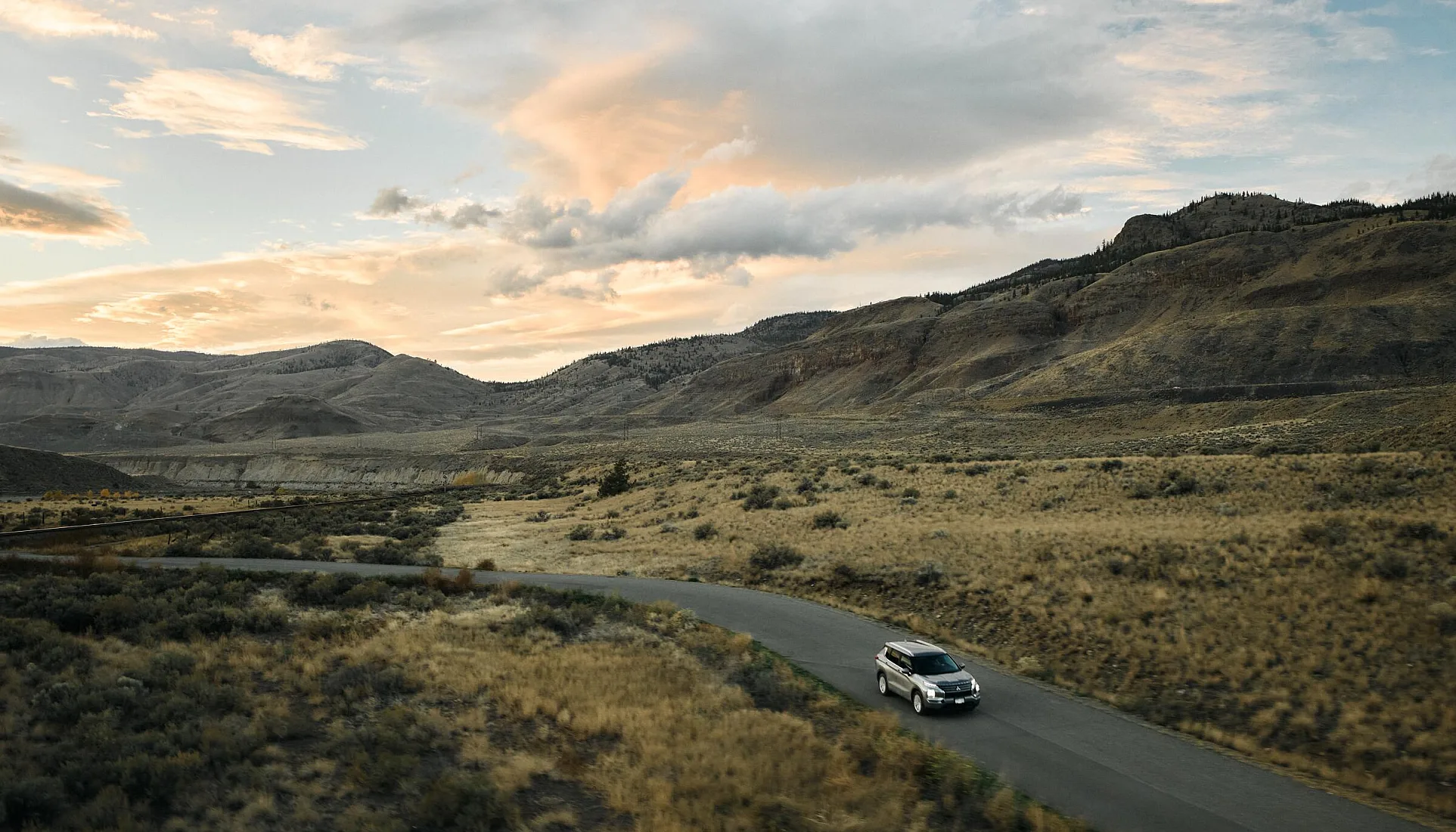 Along the Thompson River between Kamloops and Cache Creek | Hubert Kang
 Getting Here & Around
Visitors to British Columbia can arrive by air, road, rail, or ferry.
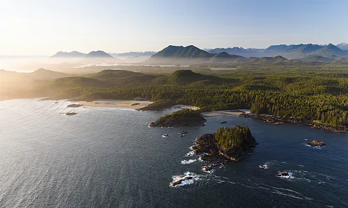
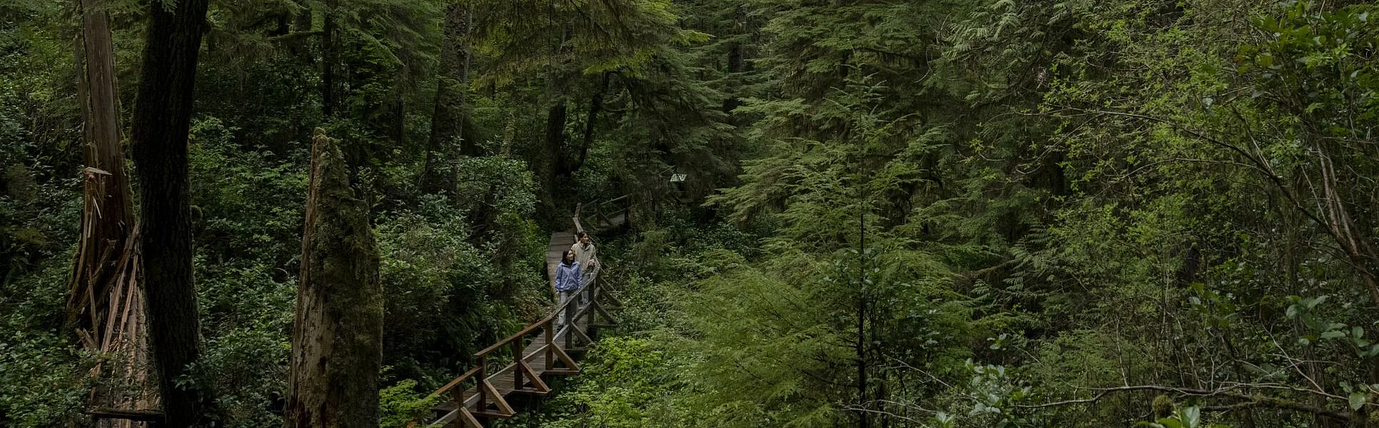 Pacific Rim National Park | Abby Cooper